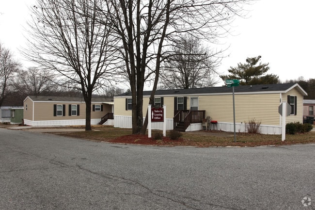
Property Record
724 Creek Ridge Rd, Greensboro, NC 27406


NEARBY LISTINGS FOR SALE OR LEASE
Property Detail
724 Creek Ridge Rd
Greensboro-High Point, NC
E W Miller
0049788
Guilford
Mobilemanufacturedhomeregardlessoflandownership
North Carolina
AE
33.41 AC
3710785300J
Outer Pleasant Garden
3,025 SF
Greensboro/Winston-Salem
DEMOGRAPHICS near 724 Creek Ridge Rd
1 Mile
3 Mile
5 Mile
2024 Total Population
9,426
77,398
156,122
2029 Population
9,314
77,197
156,067
Pop Growth 2024-2029
(1.19%)
(0.26%)
(0.04%)
Average Age
38
35
36
2024 Total Households
3,912
29,033
61,020
HH Growth 2024-2029
(1.20%)
(0.17%)
+ 0.07%
Median Household Inc
$46,757
$43,569
$49,054
Avg Household Size
2.30
2.30
2.20
2024 Avg HH Vehicles
2.00
2.00
2.00
Median Home Value
$109,973
$129,346
$169,393
Median Year Built
1979
1978
1977
Nearby Places
Map Layers
Map Styles
 Street
 Aerial
- Restaurants
- Banks
- Shops
- Fitness
- Groceries
PUBLIC TRANSPORTATION
COMMUTER RAIL
Greensboro Station (Piedmont - North Carolina by Train (NC Train))
DRIVE
WALK
Distance
Greensboro Station (Piedmont - North Carolina by Train (NC Train))
8 min
4.6 mi
AIRPORT
Piedmont Triad International
DRIVE
WALK
Distance
Piedmont Triad International
22 min
11.2 mi
Freight Ports
Port of Wilmington
DRIVE
WALK
Distance
Port of Wilmington
244 min
211.5 mi
Nearby Properties
Address
Land Use
TOTAL SIZE
Lot Size
Zoning
Address
Land Use
TOTAL SIZE
Lot Size
Zoning
1,864,781 SF
96.17 AC
PI
Address
Land Use
TOTAL SIZE
Lot Size
Zoning
671,937 SF
44.01 AC
PI
Address
Land Use
TOTAL SIZE
Lot Size
Zoning
733,612 SF
19.38 AC
PI
Address
Land Use
TOTAL SIZE
Lot Size
Zoning
957,290 SF
18.71 AC
C-H
Address
Land Use
TOTAL SIZE
Lot Size
Zoning
570,402 SF
33.42 AC
RM-18
Address
Land Use
TOTAL SIZE
Lot Size
Zoning
446,318 SF
125.67 AC
LI
Address
Land Use
TOTAL SIZE
Lot Size
Zoning
342,490 SF
17.99 AC
PI
Address
Land Use
TOTAL SIZE
Lot Size
Zoning
228,253 SF
11.21 AC
RM-18
Address
Land Use
TOTAL SIZE
Lot Size
Zoning
412,479 SF
19.68 AC
RM-26
Address
Land Use
TOTAL SIZE
Lot Size
Zoning
287,581 SF
39.35 AC
PI
Address
Land Use
TOTAL SIZE
Lot Size
Zoning
361,604 SF
16.55 AC
RM-18
Address
Land Use
TOTAL SIZE
Lot Size
Zoning
291,464 SF
17.51 AC
PI
Address
Land Use
TOTAL SIZE
Lot Size
Zoning
252,351 SF
9.48 AC
RM-18
Address
Land Use
TOTAL SIZE
Lot Size
Zoning
300,901 SF
20.39 AC
RM-18
Address
Land Use
TOTAL SIZE
Lot Size
Zoning
133,069 SF
7.90 AC
PI
Address
Land Use
TOTAL SIZE
Lot Size
Zoning
231,863 SF
7.96 AC
PUD
Address
Land Use
TOTAL SIZE
Lot Size
Zoning
182,499 SF
6.74 AC
O
Address
Land Use
TOTAL SIZE
Lot Size
Zoning
280,200 SF
19.28 AC
RM-12
Address
Land Use
TOTAL SIZE
Lot Size
Zoning
188,655 SF
13.16 AC
RM-18
Address
Land Use
TOTAL SIZE
Lot Size
Zoning
234,712 SF
13 AC
PI
Address
Land Use
TOTAL SIZE
Lot Size
Zoning
116,713 SF
4.53 AC
C-M
Address
Land Use
TOTAL SIZE
Lot Size
Zoning
211,723 SF
20.24 AC
RM-18
Address
Land Use
TOTAL SIZE
Lot Size
Zoning
582,543 SF
47.07 AC
C-M
Address
Land Use
TOTAL SIZE
Lot Size
Zoning
135,516 SF
3.53 AC
PI
Address
Land Use
TOTAL SIZE
Lot Size
Zoning
250,084 SF
5.46 AC
PI
Address
Land Use
TOTAL SIZE
Lot Size
Zoning
104,984 SF
1.97 AC
C-M
Address
Land Use
TOTAL SIZE
Lot Size
Zoning
157,646 SF
6.42 AC
PUD
Address
Land Use
TOTAL SIZE
Lot Size
Zoning
109,706 SF
1.56 AC
CB
Address
Land Use
TOTAL SIZE
Lot Size
Zoning
104,984 SF
3.18 AC
C-M
Address
Land Use
TOTAL SIZE
Lot Size
Zoning
336,760 SF
55.13 AC
LI
The World's #1 Commercial Real Estate Marketplace
Connect with us
© 2026 CoStar Group
The information above has been obtained from sources believed reliable. While we do not doubt its accuracy we have not verified it and make no guarantee, warranty or representation about it. It is your responsibility to independently confirm its accuracy and completeness. Any projections, opinions, assumptions, or estimates used are for example only and do not represent the current or future performance of the property. The value of this transaction to you depends on tax and other factors which should be evaluated by your tax, financial, and legal advisors. You and your advisors should conduct a careful, independent investigation of the property to determine to your satisfaction the suitability of the property for your needs.