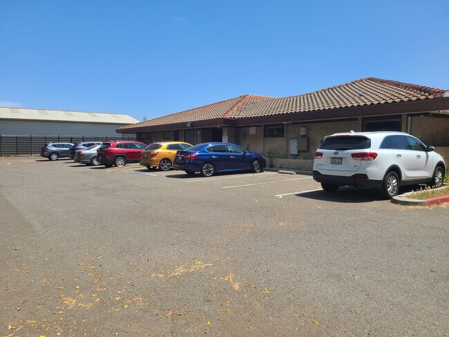
Property Record
7240 E Southgate Dr, Sacramento, CA 95823


NEARBY LISTINGS FOR SALE OR LEASE
Property Detail
7240 E Southgate Dr
Sacramento--Roseville--Arden-Arcade, CA
Southgate East
050-0470-023
LOTS 7 & 8 SOUTHGATE EAST EXC S 58 FT LOT 8
Religious
Sacramento
X
California
06067C0302H
7,8
2024
1.02 AC
2025
South Sacramento
005002
Sacramento
9,868 SF
DEMOGRAPHICS near 7240 E Southgate Dr
1 Mile
3 Mile
5 Mile
2024 Total Population
23,541
188,261
391,864
2029 Population
23,719
189,293
394,277
Pop Growth 2024-2029
+ 0.76%
+ 0.55%
+ 0.62%
Average Age
36
36
38
2024 Total Households
7,149
56,534
129,476
HH Growth 2024-2029
+ 0.74%
+ 0.50%
+ 0.63%
Median Household Inc
$47,313
$55,971
$69,869
Avg Household Size
3.10
3.20
2.90
2024 Avg HH Vehicles
2.00
2.00
2.00
Median Home Value
$310,211
$328,094
$417,122
Median Year Built
1970
1974
1977
Nearby Places
Map Layers
Map Styles
 Street
 Aerial
- Restaurants
- Banks
- Shops
- Fitness
- Groceries
PUBLIC TRANSPORTATION
COMMUTER RAIL
DRIVE
WALK
Distance
15 min
8.8 mi
AIRPORT
Sacramento International
DRIVE
WALK
Distance
Sacramento International
29 min
19.6 mi
SALE & LEASE HISTORY
LISTING DATE
SALE/LEASE

Oct 16, 2018
For Lease
Jun 13, 2017
For Lease
Jun 07, 2023
For Sale
Nearby Properties
Address
Land Use
TOTAL SIZE
Lot Size
Zoning
Address
Land Use
TOTAL SIZE
Lot Size
Zoning
728,235 SF
29.15 AC
H-R
Address
Land Use
TOTAL SIZE
Lot Size
Zoning
45.93 AC
M-2S
Address
Land Use
TOTAL SIZE
Lot Size
Zoning
169,610 SF
11.49 AC
H-PUD
Address
Land Use
TOTAL SIZE
Lot Size
Zoning
187,080 SF
10.01 AC
SPA M-1
Address
Land Use
TOTAL SIZE
Lot Size
Zoning
40.67 AC
M-2-SPD
Address
Land Use
TOTAL SIZE
Lot Size
Zoning
198,112 SF
19.62 AC
M-1 M-1 (N
Address
Land Use
TOTAL SIZE
Lot Size
Zoning
7.55 AC
SPA
Address
Land Use
TOTAL SIZE
Lot Size
Zoning
281,404 SF
21.43 AC
M-2
Address
Land Use
TOTAL SIZE
Lot Size
Zoning
53,386 SF
7.75 AC
C-2-SPD
Address
Land Use
TOTAL SIZE
Lot Size
Zoning
249,868 SF
15.23 AC
R-2B-R
Address
Land Use
TOTAL SIZE
Lot Size
Zoning
319,485 SF
16.35 AC
M-2S
Address
Land Use
TOTAL SIZE
Lot Size
Zoning
213,445 SF
18.25 AC
SC
Address
Land Use
TOTAL SIZE
Lot Size
Zoning
158,710 SF
14.02 AC
M-1 (NPA)
Address
Land Use
TOTAL SIZE
Lot Size
Zoning
138,779 SF
44.77 AC
M-2S
Address
Land Use
TOTAL SIZE
Lot Size
Zoning
120,868 SF
53.03 AC
SPA
Address
Land Use
TOTAL SIZE
Lot Size
Zoning
55,344 SF
4.75 AC
M-2S
Address
Land Use
TOTAL SIZE
Lot Size
Zoning
86,094 SF
6.17 AC
H-PUD
Address
Land Use
TOTAL SIZE
Lot Size
Zoning
58.59 AC
R-1
Address
Land Use
TOTAL SIZE
Lot Size
Zoning
135,408 SF
13.31 AC
SC
Address
Land Use
TOTAL SIZE
Lot Size
Zoning
5.29 AC
M-2S
Address
Land Use
TOTAL SIZE
Lot Size
Zoning
144,849 SF
5.72 AC
R-3
Address
Land Use
TOTAL SIZE
Lot Size
Zoning
69,411 SF
7.21 AC
OB
Address
Land Use
TOTAL SIZE
Lot Size
Zoning
109,532 SF
5.03 AC
R-3
Address
Land Use
TOTAL SIZE
Lot Size
Zoning
50,729 SF
12.30 AC
H-R
Address
Land Use
TOTAL SIZE
Lot Size
Zoning
131,893 SF
12.38 AC
SC-PUD
Address
Land Use
TOTAL SIZE
Lot Size
Zoning
91,586 SF
6.03 AC
R-3-R
Address
Land Use
TOTAL SIZE
Lot Size
Zoning
95,427 SF
7.07 AC
LC
Address
Land Use
TOTAL SIZE
Lot Size
Zoning
100,704 SF
5.63 AC
RD-20
Address
Land Use
TOTAL SIZE
Lot Size
Zoning
162,259 SF
12.73 AC
R-3
Address
Land Use
TOTAL SIZE
Lot Size
Zoning
100,787 SF
8.78 AC
SPA
The World's #1 Commercial Real Estate Marketplace
Connect with us
© 2025 CoStar Group
The information above has been obtained from sources believed reliable. While we do not doubt its accuracy we have not verified it and make no guarantee, warranty or representation about it. It is your responsibility to independently confirm its accuracy and completeness. Any projections, opinions, assumptions, or estimates used are for example only and do not represent the current or future performance of the property. The value of this transaction to you depends on tax and other factors which should be evaluated by your tax, financial, and legal advisors. You and your advisors should conduct a careful, independent investigation of the property to determine to your satisfaction the suitability of the property for your needs.