Property Record
730 10Th St, Portsmouth, OH 45662
NEARBY LISTINGS FOR SALE OR LEASE
-
-
View all Portsmouth listings for sale on LoopNet.com
Property Detail
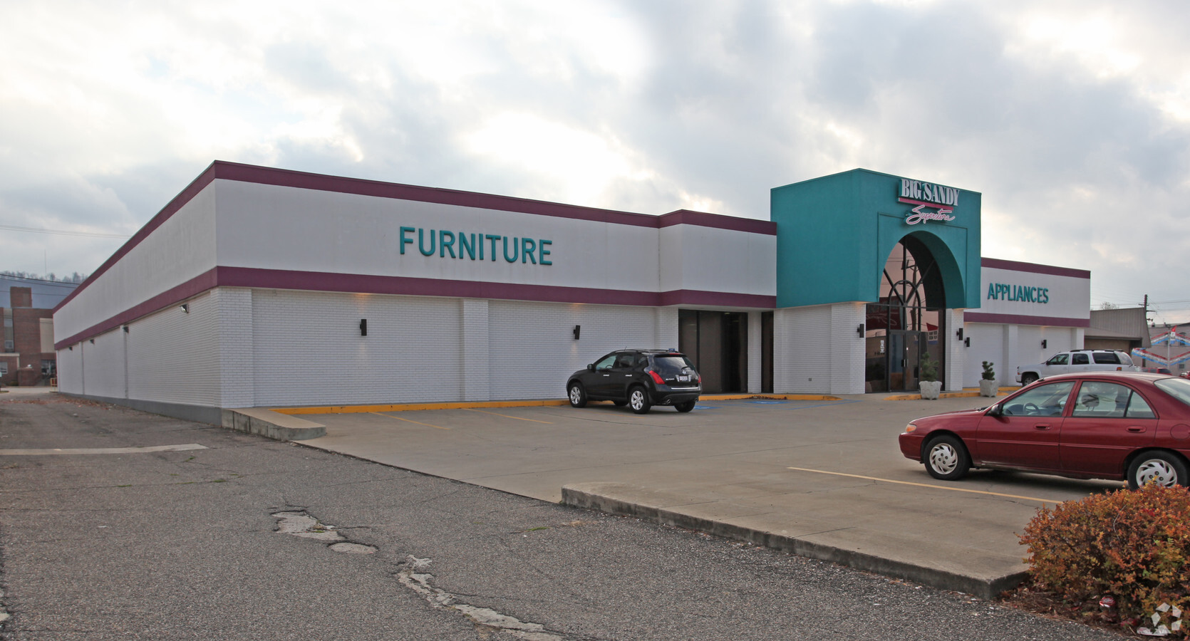
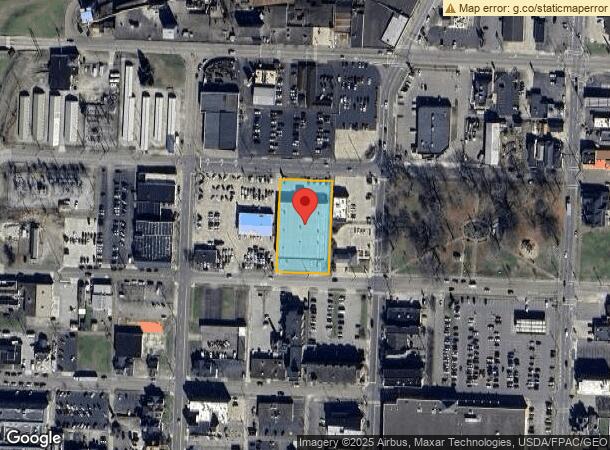
730 10Th St
Portsmouth, OH
Barr Addition
29-0060.000
BARR + VAC ALLEY 280.50 X 159 LOT 245-246-247-233-234-235 MAP 23-002 730 10TH ST
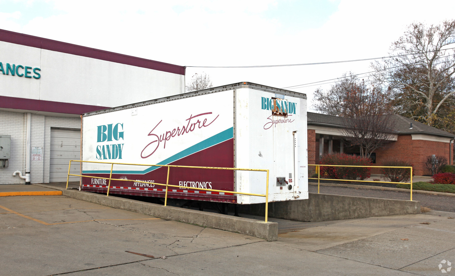
Storebuilding
Scioto
X
Ohio
39145C0401F
245-246
2024
1.02 AC
2024
Ohio South Area
003600
Other Market Areas
DEMOGRAPHICS near 730 10Th St
1 Mile
3 Mile
5 Mile
2024 Total Population
6,090
20,397
30,011
2029 Population
6,005
19,966
29,342
Pop Growth 2024-2029
(1.40%)
(2.11%)
(2.23%)
Average Age
38
40
41
2024 Total Households
2,440
8,599
12,630
HH Growth 2024-2029
(1.02%)
(2.08%)
(2.22%)
Median Household Inc
$19,984
$28,964
$30,704
Avg Household Size
2.00
2.20
2.20
2024 Avg HH Vehicles
1.00
2.00
2.00
Median Home Value
$66,195
$78,263
$82,533
Median Year Built
1948
1952
1956
Nearby Places
- Restaurants
- Banks
- Shops
- Fitness
- Groceries
PUBLIC TRANSPORTATION
COMMUTER RAIL
South Portsmouth Amtrak (Cardinal - Amtrak)
DRIVE
WALK
Distance
South Portsmouth Amtrak (Cardinal - Amtrak)
4 min
3.2 mi
Freight Ports
Port of Toledo
DRIVE
WALK
Distance
Port of Toledo
306 min
227.4 mi
Nearby Properties
Address
Land Use
TOTAL SIZE
Lot Size
Zoning
Address
Land Use
TOTAL SIZE
Lot Size
Zoning
15.67 AC
Address
Land Use
TOTAL SIZE
Lot Size
Zoning
3.57 AC
Address
Land Use
TOTAL SIZE
Lot Size
Zoning
0.26 AC
Address
Land Use
TOTAL SIZE
Lot Size
Zoning
0.30 AC
Address
Land Use
TOTAL SIZE
Lot Size
Zoning
2.47 AC
Address
Land Use
TOTAL SIZE
Lot Size
Zoning
9.09 AC
Address
Land Use
TOTAL SIZE
Lot Size
Zoning
4.17 AC
Address
Land Use
TOTAL SIZE
Lot Size
Zoning
11.26 AC
Address
Land Use
TOTAL SIZE
Lot Size
Zoning
Address
Land Use
TOTAL SIZE
Lot Size
Zoning
2.70 AC
Address
Land Use
TOTAL SIZE
Lot Size
Zoning
0.91 AC
Address
Land Use
TOTAL SIZE
Lot Size
Zoning
16.98 AC
Address
Land Use
TOTAL SIZE
Lot Size
Zoning
1.18 AC
Address
Land Use
TOTAL SIZE
Lot Size
Zoning
17,946 SF
2.33 AC
Address
Land Use
TOTAL SIZE
Lot Size
Zoning
1.58 AC
Address
Land Use
TOTAL SIZE
Lot Size
Zoning
Address
Land Use
TOTAL SIZE
Lot Size
Zoning
0.12 AC
Address
Land Use
TOTAL SIZE
Lot Size
Zoning
1.56 AC
Address
Land Use
TOTAL SIZE
Lot Size
Zoning
0.25 AC
Address
Land Use
TOTAL SIZE
Lot Size
Zoning
3.08 AC
Address
Land Use
TOTAL SIZE
Lot Size
Zoning
2.80 AC
Address
Land Use
TOTAL SIZE
Lot Size
Zoning
Address
Land Use
TOTAL SIZE
Lot Size
Zoning
8.04 AC
Address
Land Use
TOTAL SIZE
Lot Size
Zoning
6.37 AC
Address
Land Use
TOTAL SIZE
Lot Size
Zoning
1.82 AC
Address
Land Use
TOTAL SIZE
Lot Size
Zoning
1.91 AC
Address
Land Use
TOTAL SIZE
Lot Size
Zoning
25,200 SF
10 AC
Address
Land Use
TOTAL SIZE
Lot Size
Zoning
1.52 AC
Address
Land Use
TOTAL SIZE
Lot Size
Zoning
16.45 AC
Address
Land Use
TOTAL SIZE
Lot Size
Zoning
0.88 AC
The World's #1 Commercial Real Estate Marketplace
Connect with us
© 2025 CoStar Group
The information above has been obtained from sources believed reliable. While we do not doubt its accuracy we have not verified it and make no guarantee, warranty or representation about it. It is your responsibility to independently confirm its accuracy and completeness. Any projections, opinions, assumptions, or estimates used are for example only and do not represent the current or future performance of the property. The value of this transaction to you depends on tax and other factors which should be evaluated by your tax, financial, and legal advisors. You and your advisors should conduct a careful, independent investigation of the property to determine to your satisfaction the suitability of the property for your needs.