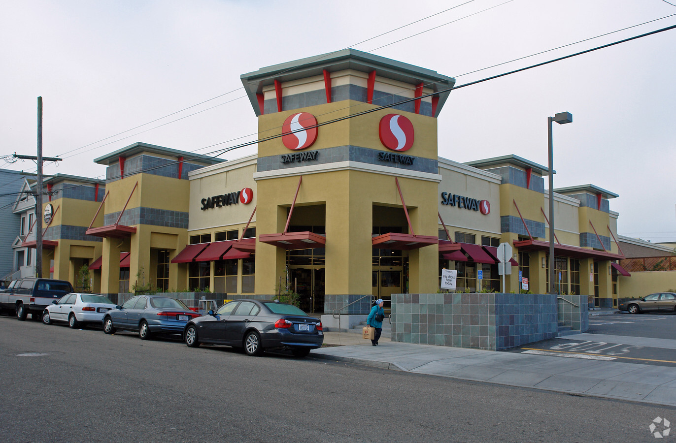
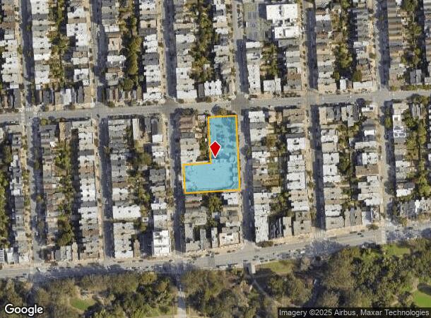
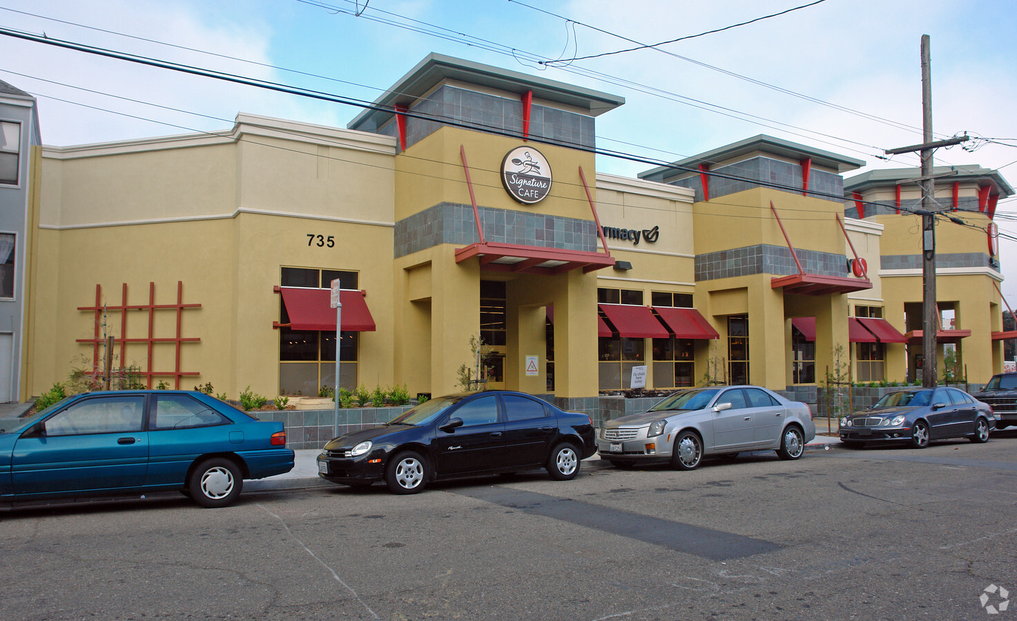
Property Record
735 7Th Ave, San Francisco, CA 94118
NEARBY LISTINGS FOR SALE OR LEASE
Property Detail
735 7Th Ave
San Francisco-Redwood City-South San Francisco, CA
Outside Land Bl #387
1650-036
San Francisco
Storemultistory
California
2023
36
2023
1.24 AC
045202
West of Van Ness
27,725 SF
San Francisco
DEMOGRAPHICS near 735 7Th Ave
1 Mile
3 Mile
5 Mile
2024 Total Population
61,497
438,680
767,868
2029 Population
57,257
406,420
710,513
Pop Growth 2024-2029
(6.89%)
(7.35%)
(7.47%)
Average Age
41
43
43
2024 Total Households
25,983
199,245
329,884
HH Growth 2024-2029
(7.47%)
(7.83%)
(7.81%)
Median Household Inc
$134,182
$133,823
$128,028
Avg Household Size
2.20
2.10
2.20
2024 Avg HH Vehicles
1.00
1.00
1.00
Median Home Value
$1,115,928
$1,114,243
$1,101,723
Median Year Built
1947
1948
1949
Nearby Places
- Restaurants
- Banks
- Shops
- Fitness
- Groceries
PUBLIC TRANSPORTATION
TRANSIT/SUBWAY
9Th Ave & Irving St (N Judah - San Francisco Municipal Railway (MUNI Metro))
DRIVE
WALK
Distance
9Th Ave & Irving St (N Judah - San Francisco Municipal Railway (MUNI Metro))
5 min
18 min
1.0 mi
Irving And 4Th Avenue (N Judah - San Francisco Municipal Railway (MUNI Metro))
DRIVE
WALK
Distance
Irving And 4Th Avenue (N Judah - San Francisco Municipal Railway (MUNI Metro))
4 min
20 min
1.1 mi
Irving St & 7Th Ave (N Judah - San Francisco Municipal Railway (MUNI Metro))
DRIVE
WALK
Distance
Irving St & 7Th Ave (N Judah - San Francisco Municipal Railway (MUNI Metro))
4 min
20 min
1.1 mi
COMMUTER RAIL
San Francisco 4Th & King (Caltrain - Caltrain (Caltrain))
DRIVE
WALK
Distance
San Francisco 4Th & King (Caltrain - Caltrain (Caltrain))
11 min
5.1 mi
22Nd Street (Caltrain - Caltrain (Caltrain))
DRIVE
WALK
Distance
22Nd Street (Caltrain - Caltrain (Caltrain))
13 min
5.9 mi
AIRPORT
San Francisco International
DRIVE
WALK
Distance
San Francisco International
27 min
16.0 mi
Metro Oakland International
DRIVE
WALK
Distance
Metro Oakland International
38 min
23.5 mi
Freight Ports
Port of San Francisco
DRIVE
WALK
Distance
Port of San Francisco
13 min
5.2 mi
Nearby Properties
Address
Land Use
TOTAL SIZE
Lot Size
Zoning
Address
Land Use
TOTAL SIZE
Lot Size
Zoning
1.52 AC
C3G
Address
Land Use
TOTAL SIZE
Lot Size
Zoning
291,522 SF
6.66 AC
CM
Address
Land Use
TOTAL SIZE
Lot Size
Zoning
24.37 AC
Address
Land Use
TOTAL SIZE
Lot Size
Zoning
342,727 SF
1.36 AC
C3G
Address
Land Use
TOTAL SIZE
Lot Size
Zoning
2.93 AC
Address
Land Use
TOTAL SIZE
Lot Size
Zoning
718 SF
18.55 AC
RH2
Address
Land Use
TOTAL SIZE
Lot Size
Zoning
496,104 SF
0.83 AC
Address
Land Use
TOTAL SIZE
Lot Size
Zoning
332,221 SF
1.17 AC
Address
Land Use
TOTAL SIZE
Lot Size
Zoning
4.41 AC
RH-3/RM-2
Address
Land Use
TOTAL SIZE
Lot Size
Zoning
450,000 SF
1.07 AC
C3G
Address
Land Use
TOTAL SIZE
Lot Size
Zoning
337,664 SF
0.36 AC
C3G
Address
Land Use
TOTAL SIZE
Lot Size
Zoning
409,895 SF
7.20 AC
RH3
Address
Land Use
TOTAL SIZE
Lot Size
Zoning
419,790 SF
3 AC
M1
Address
Land Use
TOTAL SIZE
Lot Size
Zoning
213,553 SF
0.46 AC
C3G
Address
Land Use
TOTAL SIZE
Lot Size
Zoning
741,667 SF
1.96 AC
C3G
Address
Land Use
TOTAL SIZE
Lot Size
Zoning
2.40 AC
NC3
Address
Land Use
TOTAL SIZE
Lot Size
Zoning
241,907 SF
0.82 AC
C3G
Address
Land Use
TOTAL SIZE
Lot Size
Zoning
1,320,000 SF
3.01 AC
C3G
Address
Land Use
TOTAL SIZE
Lot Size
Zoning
250,843 SF
6.62 AC
NC3
Address
Land Use
TOTAL SIZE
Lot Size
Zoning
1.35 AC
Address
Land Use
TOTAL SIZE
Lot Size
Zoning
1.68 AC
RM2
Address
Land Use
TOTAL SIZE
Lot Size
Zoning
400,598 SF
1.59 AC
RC4
Address
Land Use
TOTAL SIZE
Lot Size
Zoning
3 AC
C3G
Address
Land Use
TOTAL SIZE
Lot Size
Zoning
Address
Land Use
TOTAL SIZE
Lot Size
Zoning
194,031 SF
0.63 AC
C3G
Address
Land Use
TOTAL SIZE
Lot Size
Zoning
225,851 SF
1.19 AC
NCT1
Address
Land Use
TOTAL SIZE
Lot Size
Zoning
314,600 SF
0.62 AC
C3G
Address
Land Use
TOTAL SIZE
Lot Size
Zoning
162,220 SF
0.51 AC
C3G
Address
Land Use
TOTAL SIZE
Lot Size
Zoning
309,000 SF
0.34 AC
C3G
Address
Land Use
TOTAL SIZE
Lot Size
Zoning
17.91 AC
RH-2
The World's #1 Commercial Real Estate Marketplace
Connect with us
© 2025 CoStar Group
The information above has been obtained from sources believed reliable. While we do not doubt its accuracy we have not verified it and make no guarantee, warranty or representation about it. It is your responsibility to independently confirm its accuracy and completeness. Any projections, opinions, assumptions, or estimates used are for example only and do not represent the current or future performance of the property. The value of this transaction to you depends on tax and other factors which should be evaluated by your tax, financial, and legal advisors. You and your advisors should conduct a careful, independent investigation of the property to determine to your satisfaction the suitability of the property for your needs.