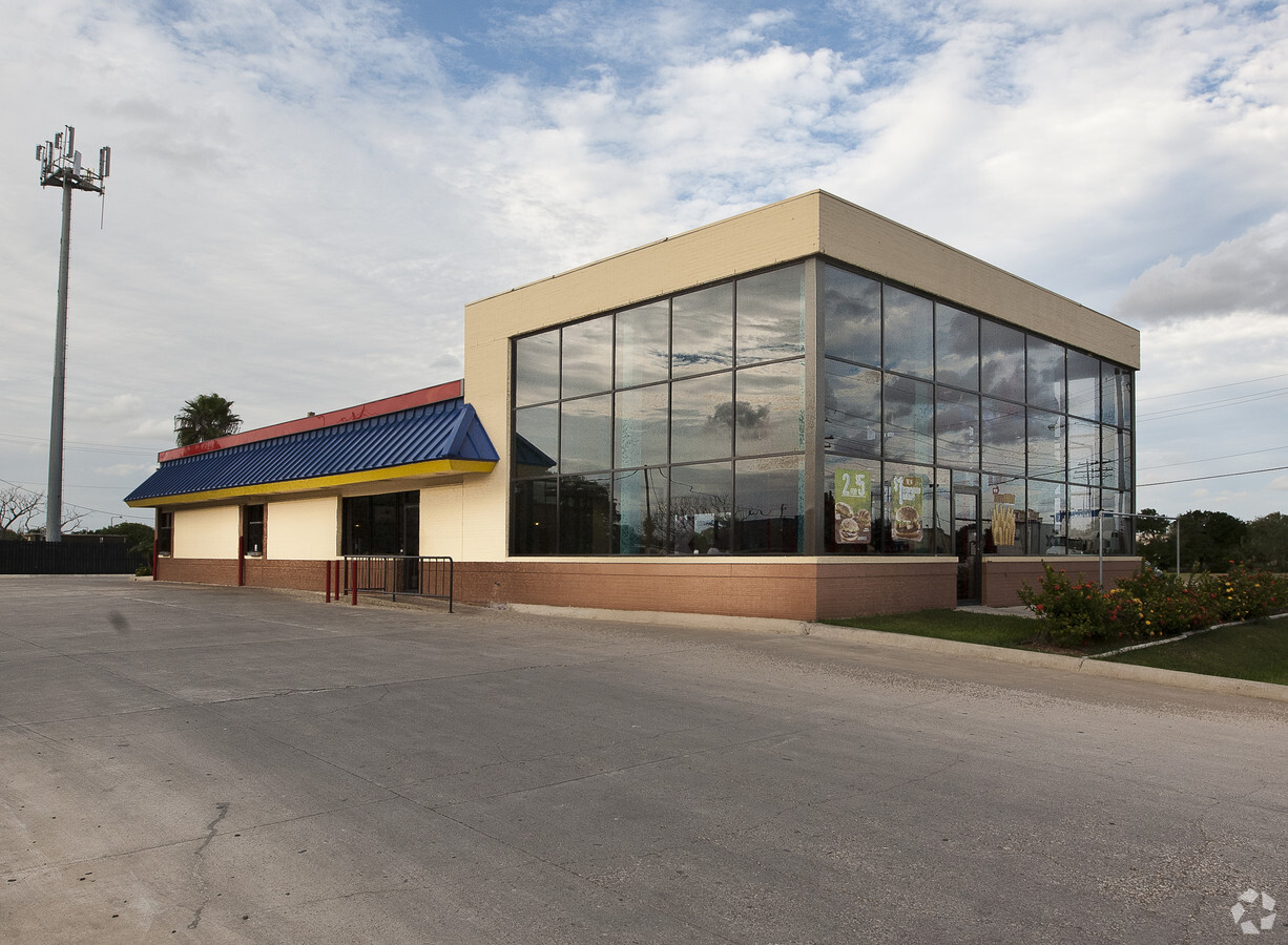
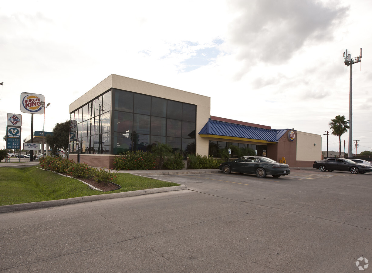
Property Record
7411 Padre Island Hwy, Brownsville, TX 78521
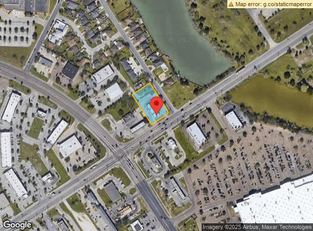
NEARBY LISTINGS FOR SALE OR LEASE
Property Detail
7411 Padre Island Hwy
Brownsville-Harlingen, TX
Madden Resubdivision
765210-0010-002000
BROWNSVILLE - MADDEN RESUB LOT 2 BLK 1 .815 ACRES
Commercialnec
Cameron
X
Texas
48061C0585F
2
2024
0.82 AC
2024
Greater Brownsville
012607
Brownsville/Harlingen
4,240 SF
DEMOGRAPHICS near 7411 Padre Island Hwy
1 Mile
3 Mile
5 Mile
2024 Total Population
10,211
55,933
138,612
2029 Population
10,582
57,895
142,241
Pop Growth 2024-2029
+ 3.63%
+ 3.51%
+ 2.62%
Average Age
33
34
35
2024 Total Households
2,871
16,775
42,199
HH Growth 2024-2029
+ 3.76%
+ 3.57%
+ 2.64%
Median Household Inc
$34,145
$43,981
$40,663
Avg Household Size
3.40
3.30
3.20
2024 Avg HH Vehicles
2.00
2.00
2.00
Median Home Value
$71,134
$89,825
$89,964
Median Year Built
1997
1997
1992
Nearby Places
- Restaurants
- Banks
- Shops
- Fitness
- Groceries
PUBLIC TRANSPORTATION
AIRPORT
Brownsville/South Padre Island International
DRIVE
WALK
Distance
Brownsville/South Padre Island International
6 min
3.3 mi
Valley International
DRIVE
WALK
Distance
Valley International
37 min
28.7 mi
Freight Ports
Port of Brownsville
DRIVE
WALK
Distance
Port of Brownsville
2 min
1.2 mi
Nearby Properties
Address
Land Use
TOTAL SIZE
Lot Size
Zoning
Address
Land Use
TOTAL SIZE
Lot Size
Zoning
167,737 SF
29.87 AC
Address
Land Use
TOTAL SIZE
Lot Size
Zoning
286,243 SF
19.21 AC
C
Address
Land Use
TOTAL SIZE
Lot Size
Zoning
145,240 SF
17.49 AC
Address
Land Use
TOTAL SIZE
Lot Size
Zoning
392,622 SF
55 AC
I
Address
Land Use
TOTAL SIZE
Lot Size
Zoning
115,463 SF
22.09 AC
Address
Land Use
TOTAL SIZE
Lot Size
Zoning
120,166 SF
12.32 AC
Address
Land Use
TOTAL SIZE
Lot Size
Zoning
112,263 SF
9.66 AC
Address
Land Use
TOTAL SIZE
Lot Size
Zoning
87,909 SF
12 AC
Address
Land Use
TOTAL SIZE
Lot Size
Zoning
98,740 SF
15.56 AC
Address
Land Use
TOTAL SIZE
Lot Size
Zoning
81,191 SF
19.56 AC
Address
Land Use
TOTAL SIZE
Lot Size
Zoning
88,256 SF
18.16 AC
Address
Land Use
TOTAL SIZE
Lot Size
Zoning
238,221 SF
27.02 AC
Address
Land Use
TOTAL SIZE
Lot Size
Zoning
195,810 SF
26.95 AC
Address
Land Use
TOTAL SIZE
Lot Size
Zoning
299,792 SF
12.88 AC
C
Address
Land Use
TOTAL SIZE
Lot Size
Zoning
137,228 SF
18.43 AC
A-U
Address
Land Use
TOTAL SIZE
Lot Size
Zoning
96,824 SF
7.83 AC
Address
Land Use
TOTAL SIZE
Lot Size
Zoning
462.60 AC
Address
Land Use
TOTAL SIZE
Lot Size
Zoning
0.17 AC
Address
Land Use
TOTAL SIZE
Lot Size
Zoning
102,440 SF
22.88 AC
Address
Land Use
TOTAL SIZE
Lot Size
Zoning
151,872 SF
Address
Land Use
TOTAL SIZE
Lot Size
Zoning
189,213 SF
10.40 AC
C
Address
Land Use
TOTAL SIZE
Lot Size
Zoning
109,075 SF
10.45 AC
C
Address
Land Use
TOTAL SIZE
Lot Size
Zoning
130,292 SF
19.23 AC
Address
Land Use
TOTAL SIZE
Lot Size
Zoning
48,760 SF
7 AC
C
Address
Land Use
TOTAL SIZE
Lot Size
Zoning
61,038 SF
6 AC
C
Address
Land Use
TOTAL SIZE
Lot Size
Zoning
141,320 SF
10.01 AC
B
Address
Land Use
TOTAL SIZE
Lot Size
Zoning
67,743 SF
6.32 AC
A-C
Address
Land Use
TOTAL SIZE
Lot Size
Zoning
154,656 SF
11.40 AC
C
Address
Land Use
TOTAL SIZE
Lot Size
Zoning
101,581 SF
4.14 AC
Address
Land Use
TOTAL SIZE
Lot Size
Zoning
46,987 SF
10.28 AC
The World's #1 Commercial Real Estate Marketplace
Connect with us
© 2025 CoStar Group
The information above has been obtained from sources believed reliable. While we do not doubt its accuracy we have not verified it and make no guarantee, warranty or representation about it. It is your responsibility to independently confirm its accuracy and completeness. Any projections, opinions, assumptions, or estimates used are for example only and do not represent the current or future performance of the property. The value of this transaction to you depends on tax and other factors which should be evaluated by your tax, financial, and legal advisors. You and your advisors should conduct a careful, independent investigation of the property to determine to your satisfaction the suitability of the property for your needs.