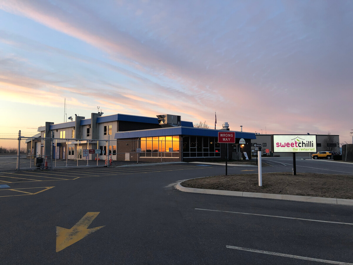
Property Record
75 Airport Rd, Augusta, ME 04330
NEARBY LISTINGS FOR SALE OR LEASE
Property Detail
75 Airport Rd
Stateproperty
Kennebec
X
Maine
23011C0508D
376.22 AC
2024
Maine South & Augusta
2023
Other Market Areas
010300
Augusta-Waterville, ME
11,040 SF
AUGU-000009-000005
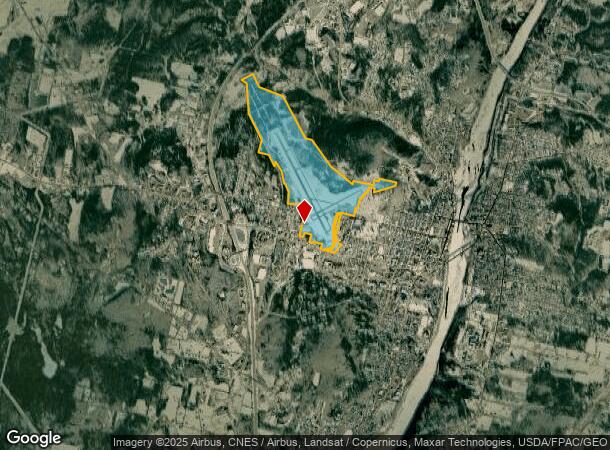
DEMOGRAPHICS near 75 Airport Rd
1 Mile
3 Mile
5 Mile
2024 Total Population
4,631
18,534
26,260
2029 Population
4,847
19,336
27,369
Pop Growth 2024-2029
+ 4.66%
+ 4.33%
+ 4.22%
Average Age
43
44
44
2024 Total Households
2,360
8,914
12,313
HH Growth 2024-2029
+ 4.87%
+ 4.48%
+ 4.38%
Median Household Inc
$38,518
$43,578
$47,429
Avg Household Size
1.80
1.90
2.00
2024 Avg HH Vehicles
1.00
1.00
1.00
Median Home Value
$155,199
$164,307
$174,007
Median Year Built
1957
1958
1967
Nearby Places
- Restaurants
- Banks
- Shops
- Fitness
- Groceries
SALE & LEASE HISTORY
LISTING DATE
SALE/LEASE

Feb 22, 2021
For Lease
Nearby Properties
Address
Land Use
TOTAL SIZE
Lot Size
Zoning
Address
Land Use
TOTAL SIZE
Lot Size
Zoning
99,980 SF
11.31 AC
Address
Land Use
TOTAL SIZE
Lot Size
Zoning
150.24 AC
Address
Land Use
TOTAL SIZE
Lot Size
Zoning
82,828 SF
50.64 AC
Address
Land Use
TOTAL SIZE
Lot Size
Zoning
34,330 SF
16.19 AC
Address
Land Use
TOTAL SIZE
Lot Size
Zoning
35,867 SF
0.04 AC
Address
Land Use
TOTAL SIZE
Lot Size
Zoning
88,451 SF
24.41 AC
Address
Land Use
TOTAL SIZE
Lot Size
Zoning
99,295 SF
7.25 AC
Address
Land Use
TOTAL SIZE
Lot Size
Zoning
102,445 SF
43.40 AC
Address
Land Use
TOTAL SIZE
Lot Size
Zoning
103,168 SF
3.36 AC
Address
Land Use
TOTAL SIZE
Lot Size
Zoning
3.75 AC
Address
Land Use
TOTAL SIZE
Lot Size
Zoning
1,414 SF
144 AC
Address
Land Use
TOTAL SIZE
Lot Size
Zoning
204,400 SF
7.40 AC
Address
Land Use
TOTAL SIZE
Lot Size
Zoning
203,962 SF
18.60 AC
Address
Land Use
TOTAL SIZE
Lot Size
Zoning
124,422 SF
6.30 AC
Address
Land Use
TOTAL SIZE
Lot Size
Zoning
20,700 SF
14.46 AC
Address
Land Use
TOTAL SIZE
Lot Size
Zoning
139,383 SF
18.32 AC
Address
Land Use
TOTAL SIZE
Lot Size
Zoning
127,056 SF
14.44 AC
Address
Land Use
TOTAL SIZE
Lot Size
Zoning
116,149 SF
11.62 AC
Address
Land Use
TOTAL SIZE
Lot Size
Zoning
8,572 SF
13.92 AC
Address
Land Use
TOTAL SIZE
Lot Size
Zoning
24 AC
CS
Address
Land Use
TOTAL SIZE
Lot Size
Zoning
54,000 SF
13.91 AC
Address
Land Use
TOTAL SIZE
Lot Size
Zoning
90,092 SF
10.23 AC
Address
Land Use
TOTAL SIZE
Lot Size
Zoning
9,881 SF
21 AC
Address
Land Use
TOTAL SIZE
Lot Size
Zoning
172,458 SF
3.31 AC
Address
Land Use
TOTAL SIZE
Lot Size
Zoning
193,877 SF
Address
Land Use
TOTAL SIZE
Lot Size
Zoning
0.26 AC
Address
Land Use
TOTAL SIZE
Lot Size
Zoning
94,766 SF
3.37 AC
Address
Land Use
TOTAL SIZE
Lot Size
Zoning
66,148 SF
15.26 AC
Address
Land Use
TOTAL SIZE
Lot Size
Zoning
24.08 AC
The World's #1 Commercial Real Estate Marketplace
Connect with us
© 2025 CoStar Group
The information above has been obtained from sources believed reliable. While we do not doubt its accuracy we have not verified it and make no guarantee, warranty or representation about it. It is your responsibility to independently confirm its accuracy and completeness. Any projections, opinions, assumptions, or estimates used are for example only and do not represent the current or future performance of the property. The value of this transaction to you depends on tax and other factors which should be evaluated by your tax, financial, and legal advisors. You and your advisors should conduct a careful, independent investigation of the property to determine to your satisfaction the suitability of the property for your needs.