Property Record
7507 Sw 44Th St, Oklahoma City, OK 73179


NEARBY LISTINGS FOR SALE OR LEASE
Property Detail
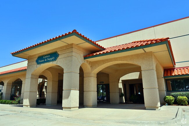
7507 Sw 44Th St
143505000
Unpltd Pt Sec 17 11N 4W
Warehouse
UNPLTD PT SEC 17 11N 4W 000 000 PT SE4 SEC 17 11N 4W BEG SW/C SE4 TH N2654.75FT E922.02FT S2072.60FT RIGHT ON CURVE 195.17FT SW109.59FT RIGHT ON CURVE 195.17FT W165.74FT S245.32FT W423.77FT TO BEG SUBJ TO ESMTS & R/W OF RECORD
AE
Oklahoma
40027C0025J
Oklahoma
2023
52.69 AC
2024
Southwest
108604
Oklahoma City
720,640 SF
Oklahoma City, OK
DEMOGRAPHICS near 7507 Sw 44Th St
1 Mile
3 Mile
5 Mile
2024 Total Population
700
20,976
114,414
2029 Population
738
23,501
125,694
Pop Growth 2024-2029
+ 5.43%
+ 12.04%
+ 9.86%
Average Age
37
36
35
2024 Total Households
280
7,071
41,228
HH Growth 2024-2029
+ 5.36%
+ 12.02%
+ 10.07%
Median Household Inc
$71,015
$81,979
$53,358
Avg Household Size
2.50
2.80
2.70
2024 Avg HH Vehicles
2.00
2.00
2.00
Median Home Value
$159,790
$199,320
$154,159
Median Year Built
1993
2005
1978
Nearby Places
Map Layers
Map Styles
 Street
 Aerial
- Restaurants
- Banks
- Shops
- Fitness
- Groceries
PUBLIC TRANSPORTATION
AIRPORT
Will Rogers World
DRIVE
WALK
Distance
Will Rogers World
15 min
5.6 mi
Freight Ports
Tulsa Port Of Catoosa
DRIVE
WALK
Distance
Tulsa Port Of Catoosa
150 min
134.4 mi
Nearby Properties
Address
Land Use
TOTAL SIZE
Lot Size
Zoning
Address
Land Use
TOTAL SIZE
Lot Size
Zoning
1,976,300 SF
217.95 AC
I-2
Address
Land Use
TOTAL SIZE
Lot Size
Zoning
1,953,545 SF
111.96 AC
PUD
Address
Land Use
TOTAL SIZE
Lot Size
Zoning
1,563,794 SF
127.94 AC
PUD
Address
Land Use
TOTAL SIZE
Lot Size
Zoning
388,082 SF
34.03 AC
I-2
Address
Land Use
TOTAL SIZE
Lot Size
Zoning
52,170 SF
14.24 AC
Address
Land Use
TOTAL SIZE
Lot Size
Zoning
2,141,947 SF
98.48 AC
I-2
Address
Land Use
TOTAL SIZE
Lot Size
Zoning
653,359 SF
142.11 AC
I-2
Address
Land Use
TOTAL SIZE
Lot Size
Zoning
1,013,603 SF
66.29 AC
PUD
Address
Land Use
TOTAL SIZE
Lot Size
Zoning
647,520 SF
28.23 AC
PUD
Address
Land Use
TOTAL SIZE
Lot Size
Zoning
784,972 SF
68.99 AC
I-2
Address
Land Use
TOTAL SIZE
Lot Size
Zoning
195,412 SF
4.42 AC
I-1
Address
Land Use
TOTAL SIZE
Lot Size
Zoning
1,194,497 SF
89.98 AC
I-2
Address
Land Use
TOTAL SIZE
Lot Size
Zoning
300,000 SF
123.06 AC
R-1
Address
Land Use
TOTAL SIZE
Lot Size
Zoning
259,726 SF
19.94 AC
PUD
Address
Land Use
TOTAL SIZE
Lot Size
Zoning
211,626 SF
12.67 AC
PUD
Address
Land Use
TOTAL SIZE
Lot Size
Zoning
279,224 SF
18.75 AC
PUD
Address
Land Use
TOTAL SIZE
Lot Size
Zoning
192,771 SF
11.20 AC
I-3
Address
Land Use
TOTAL SIZE
Lot Size
Zoning
143,450 SF
21.45 AC
Address
Land Use
TOTAL SIZE
Lot Size
Zoning
305,154 SF
33.30 AC
I-2
Address
Land Use
TOTAL SIZE
Lot Size
Zoning
538,787 SF
34.39 AC
I-2
Address
Land Use
TOTAL SIZE
Lot Size
Zoning
215,392 SF
63.71 AC
I-2
Address
Land Use
TOTAL SIZE
Lot Size
Zoning
9.28 AC
I-2
Address
Land Use
TOTAL SIZE
Lot Size
Zoning
615,435 SF
35.60 AC
I-3
Address
Land Use
TOTAL SIZE
Lot Size
Zoning
256,500 SF
19.46 AC
I-3
Address
Land Use
TOTAL SIZE
Lot Size
Zoning
257,100 SF
33.19 AC
I-2
Address
Land Use
TOTAL SIZE
Lot Size
Zoning
223,600 SF
25.57 AC
I-2
Address
Land Use
TOTAL SIZE
Lot Size
Zoning
124,208 SF
21.48 AC
I-2
Address
Land Use
TOTAL SIZE
Lot Size
Zoning
89,152 SF
29.84 AC
PUD
Address
Land Use
TOTAL SIZE
Lot Size
Zoning
422,608 SF
24.97 AC
I-3
The World's #1 Commercial Real Estate Marketplace
Connect with us
© 2025 CoStar Group
The information above has been obtained from sources believed reliable. While we do not doubt its accuracy we have not verified it and make no guarantee, warranty or representation about it. It is your responsibility to independently confirm its accuracy and completeness. Any projections, opinions, assumptions, or estimates used are for example only and do not represent the current or future performance of the property. The value of this transaction to you depends on tax and other factors which should be evaluated by your tax, financial, and legal advisors. You and your advisors should conduct a careful, independent investigation of the property to determine to your satisfaction the suitability of the property for your needs.