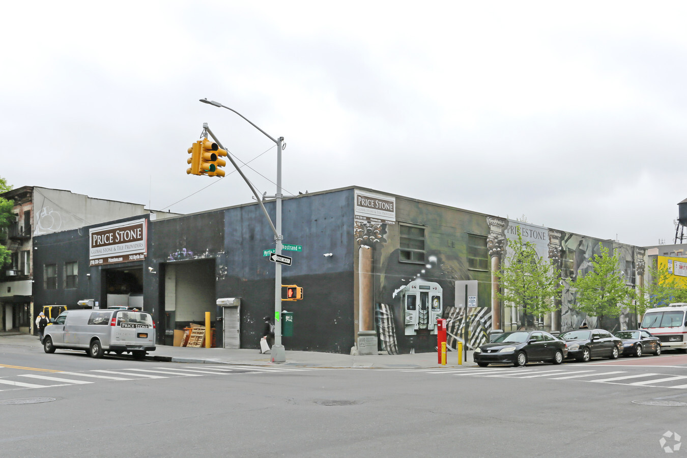
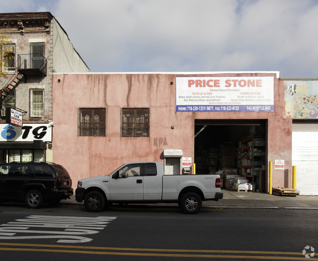
Property Record
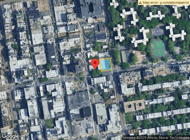
743 Myrtle Ave, Brooklyn, NY 11205
NEARBY LISTINGS FOR SALE OR LEASE
Property Detail
743 Myrtle Ave
01737-0035
DOCID-2021120700979002
Industrialgeneral
Kings
X
New York
3604970204F
35
2024
0.24 AC
2024
North Brooklyn
123700
Long Island (New York)
10,388 SF
New York-Jersey City-White Plains, NY-NJ
DEMOGRAPHICS near 743 Myrtle Ave
1 Mile
3 Mile
5 Mile
2024 Total Population
211,143
1,307,737
2,939,879
2029 Population
201,385
1,235,870
2,757,098
Pop Growth 2024-2029
(4.62%)
(5.50%)
(6.22%)
Average Age
34
38
39
2024 Total Households
74,055
537,043
1,201,987
HH Growth 2024-2029
(5.31%)
(5.94%)
(6.46%)
Median Household Inc
$60,873
$79,041
$82,844
Avg Household Size
2.70
2.30
2.30
2024 Avg HH Vehicles
.00
.00
.00
Median Home Value
$945,405
$987,856
$866,951
Median Year Built
1955
1948
1949
Nearby Places
- Restaurants
- Banks
- Shops
- Fitness
- Groceries
PUBLIC TRANSPORTATION
TRANSIT/SUBWAY
Myrtle-Willoughby Avenues (G - New York MTA Subway (The Subway))
DRIVE
WALK
Distance
Myrtle-Willoughby Avenues (G - New York MTA Subway (The Subway))
1 min
5 min
0.3 mi
Bedford-Nostrand Avenues (G - New York MTA Subway (The Subway))
DRIVE
WALK
Distance
Bedford-Nostrand Avenues (G - New York MTA Subway (The Subway))
2 min
9 min
0.5 mi
Flushing Avenue (G Line) (G - New York MTA Subway (The Subway))
DRIVE
WALK
Distance
Flushing Avenue (G Line) (G - New York MTA Subway (The Subway))
2 min
10 min
0.6 mi
Classon Avenue (G - New York MTA Subway (The Subway))
DRIVE
WALK
Distance
Classon Avenue (G - New York MTA Subway (The Subway))
3 min
14 min
0.8 mi
Lorimer Street (J,M Line) (J - New York MTA Subway (The Subway), M - New York MTA Subway (The Subway))
DRIVE
WALK
Distance
Lorimer Street (J,M Line) (J - New York MTA Subway (The Subway), M - New York MTA Subway (The Subway))
3 min
16 min
0.9 mi
COMMUTER RAIL
Nostrand Avenue Station (Far Rockaway Branch - Long Island Rail Road, Hempstead Branch - Long Island Rail Road, Long Beach Branch - Long Island Rail Road, West Hempstead Branch - Long Island Rail Road)
DRIVE
WALK
Distance
Nostrand Avenue Station (Far Rockaway Branch - Long Island Rail Road, Hempstead Branch - Long Island Rail Road, Long Beach Branch - Long Island Rail Road, West Hempstead Branch - Long Island Rail Road)
4 min
1.3 mi
Atlantic Terminal (Babylon Branch - Long Island Rail Road, City Terminal Zone - Long Island Rail Road, Hempstead Branch - Long Island Rail Road, West Hempstead Branch - Long Island Rail Road)
DRIVE
WALK
Distance
Atlantic Terminal (Babylon Branch - Long Island Rail Road, City Terminal Zone - Long Island Rail Road, Hempstead Branch - Long Island Rail Road, West Hempstead Branch - Long Island Rail Road)
6 min
2.2 mi
AIRPORT
Laguardia
DRIVE
WALK
Distance
Laguardia
17 min
8.7 mi
John F Kennedy International
DRIVE
WALK
Distance
John F Kennedy International
23 min
12.9 mi
Newark Liberty International
DRIVE
WALK
Distance
Newark Liberty International
27 min
15.8 mi
Freight Ports
NY - Red Hook Container Terminal
DRIVE
WALK
Distance
NY - Red Hook Container Terminal
9 min
4.1 mi
SALE & LEASE HISTORY
LISTING DATE
SALE/LEASE

Sep 25, 2016
For Lease
Sep 24, 2016
For Sale
Nearby Properties
Address
Land Use
TOTAL SIZE
Lot Size
Zoning
Address
Land Use
TOTAL SIZE
Lot Size
Zoning
8,462,176 SF
61.41 AC
R7-2
Address
Land Use
TOTAL SIZE
Lot Size
Zoning
2,812,739 SF
2.10 AC
C5-3
Address
Land Use
TOTAL SIZE
Lot Size
Zoning
1,104,505 SF
2.32 AC
C4-7
Address
Land Use
TOTAL SIZE
Lot Size
Zoning
7,064,736 SF
147.61 AC
M3-1
Address
Land Use
TOTAL SIZE
Lot Size
Zoning
1,653,794 SF
3.14 AC
C6-4
Address
Land Use
TOTAL SIZE
Lot Size
Zoning
1,617,206 SF
1.23 AC
C5-5
Address
Land Use
TOTAL SIZE
Lot Size
Zoning
1,075,808 SF
1.12 AC
C5-5
Address
Land Use
TOTAL SIZE
Lot Size
Zoning
758 SF
1.45 AC
PARK
Address
Land Use
TOTAL SIZE
Lot Size
Zoning
1,503,150 SF
20.47 AC
R5
Address
Land Use
TOTAL SIZE
Lot Size
Zoning
393.54 AC
PARK
Address
Land Use
TOTAL SIZE
Lot Size
Zoning
577,381 SF
3.19 AC
R6
Address
Land Use
TOTAL SIZE
Lot Size
Zoning
942,992 SF
2.22 AC
R7-1
Address
Land Use
TOTAL SIZE
Lot Size
Zoning
2,948,300 SF
27.71 AC
R7-2
Address
Land Use
TOTAL SIZE
Lot Size
Zoning
1,079,361 SF
1.07 AC
C5-3
Address
Land Use
TOTAL SIZE
Lot Size
Zoning
1,330,743 SF
2.20 AC
C6-4
Address
Land Use
TOTAL SIZE
Lot Size
Zoning
943,802 SF
0.97 AC
C6-9
Address
Land Use
TOTAL SIZE
Lot Size
Zoning
990,250 SF
1.12 AC
C6-9
Address
Land Use
TOTAL SIZE
Lot Size
Zoning
296,915 SF
0.31 AC
C5-3
Address
Land Use
TOTAL SIZE
Lot Size
Zoning
830,879 SF
1 AC
C5-4
Address
Land Use
TOTAL SIZE
Lot Size
Zoning
383,249 SF
1.32 AC
R6
Address
Land Use
TOTAL SIZE
Lot Size
Zoning
783,137 SF
0.79 AC
C64.5
Address
Land Use
TOTAL SIZE
Lot Size
Zoning
835,231 SF
11.32 AC
R6
Address
Land Use
TOTAL SIZE
Lot Size
Zoning
449,695 SF
0.60 AC
C6-2
Address
Land Use
TOTAL SIZE
Lot Size
Zoning
1,106,962 SF
3.98 AC
C6-4
Address
Land Use
TOTAL SIZE
Lot Size
Zoning
869,038 SF
1.53 AC
M1-1
Address
Land Use
TOTAL SIZE
Lot Size
Zoning
1,658,649 SF
15.93 AC
R7-2
Address
Land Use
TOTAL SIZE
Lot Size
Zoning
813,363 SF
3.50 AC
C6-4
Address
Land Use
TOTAL SIZE
Lot Size
Zoning
1,061,228 SF
8.86 AC
R5
Address
Land Use
TOTAL SIZE
Lot Size
Zoning
798,819 SF
2.57 AC
R6
Address
Land Use
TOTAL SIZE
Lot Size
Zoning
579,404 SF
11.20 AC
R6
The World's #1 Commercial Real Estate Marketplace
Connect with us
© 2025 CoStar Group
The information above has been obtained from sources believed reliable. While we do not doubt its accuracy we have not verified it and make no guarantee, warranty or representation about it. It is your responsibility to independently confirm its accuracy and completeness. Any projections, opinions, assumptions, or estimates used are for example only and do not represent the current or future performance of the property. The value of this transaction to you depends on tax and other factors which should be evaluated by your tax, financial, and legal advisors. You and your advisors should conduct a careful, independent investigation of the property to determine to your satisfaction the suitability of the property for your needs.