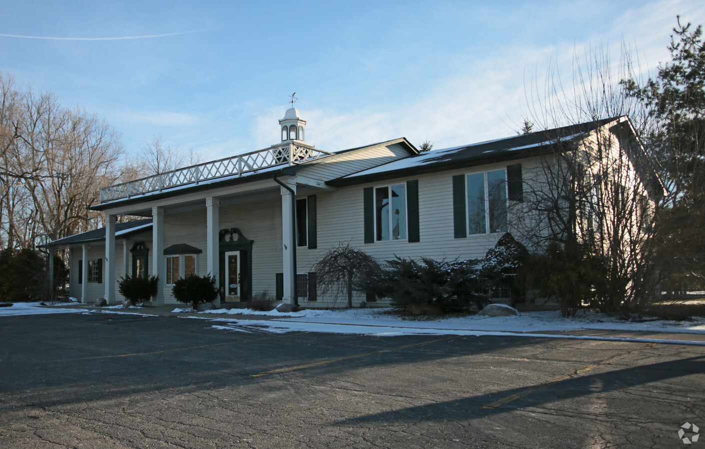
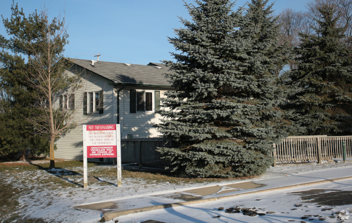
Property Record
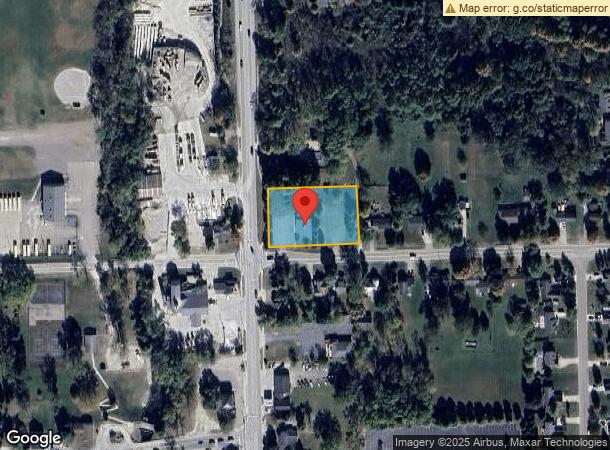
7523 S State Rd, Goodrich, MI 48438

NEARBY LISTINGS FOR SALE OR LEASE
Property Detail
7523 S State Rd
02-15-400-010
S 200 FT OF W 300 FT OF ALL THAT PART OF SE 1/4 LYING E OF STATE RD SEC 15 T6N R8E
Commercialnec
Genesee
X
Michigan
26049C0342D
1.38 AC
2024
Flint
2024
Detroit
013402
Flint, MI
4,104 SF
DEMOGRAPHICS near 7523 S State Rd
1 Mile
3 Mile
5 Mile
2024 Total Population
1,731
5,942
20,190
2029 Population
1,672
5,746
19,682
Pop Growth 2024-2029
(3.41%)
(3.30%)
(2.52%)
Average Age
40
42
42
2024 Total Households
610
2,097
7,555
HH Growth 2024-2029
(3.44%)
(3.34%)
(2.37%)
Median Household Inc
$93,506
$104,648
$96,845
Avg Household Size
2.70
2.80
2.60
2024 Avg HH Vehicles
2.00
2.00
2.00
Median Home Value
$251,157
$292,015
$291,879
Median Year Built
1991
1983
1985
Nearby Places
- Restaurants
- Banks
- Shops
- Fitness
- Groceries
PUBLIC TRANSPORTATION
AIRPORT
Bishop International
DRIVE
WALK
Distance
Bishop International
38 min
23.9 mi
Freight Ports
Port of Toledo
DRIVE
WALK
Distance
Port of Toledo
133 min
100.0 mi
Nearby Properties
Address
Land Use
TOTAL SIZE
Lot Size
Zoning
Address
Land Use
TOTAL SIZE
Lot Size
Zoning
58,215 SF
7.99 AC
C-2
Address
Land Use
TOTAL SIZE
Lot Size
Zoning
12,760 SF
16 AC
VILLAG
Address
Land Use
TOTAL SIZE
Lot Size
Zoning
74,450 SF
13.20 AC
M-1
Address
Land Use
TOTAL SIZE
Lot Size
Zoning
319.43 AC
REC
Address
Land Use
TOTAL SIZE
Lot Size
Zoning
28,288 SF
4.98 AC
VILLAG
Address
Land Use
TOTAL SIZE
Lot Size
Zoning
22,738 SF
147.75 AC
RSA
Address
Land Use
TOTAL SIZE
Lot Size
Zoning
54,720 SF
34.70 AC
VILLAG
Address
Land Use
TOTAL SIZE
Lot Size
Zoning
27,733 SF
4.56 AC
M-1
Address
Land Use
TOTAL SIZE
Lot Size
Zoning
24,311 SF
10 AC
VILLAG
Address
Land Use
TOTAL SIZE
Lot Size
Zoning
43,036 SF
24.96 AC
M-1
Address
Land Use
TOTAL SIZE
Lot Size
Zoning
12,958 SF
1.30 AC
VILLAG
Address
Land Use
TOTAL SIZE
Lot Size
Zoning
12,202 SF
0.83 AC
VILLAG
Address
Land Use
TOTAL SIZE
Lot Size
Zoning
12,696 SF
110.42 AC
VILLAG
Address
Land Use
TOTAL SIZE
Lot Size
Zoning
5,292 SF
0.73 AC
VILLAG
Address
Land Use
TOTAL SIZE
Lot Size
Zoning
9,840 SF
1.21 AC
VILLAG
Address
Land Use
TOTAL SIZE
Lot Size
Zoning
2,227 SF
20.44 AC
AR
Address
Land Use
TOTAL SIZE
Lot Size
Zoning
17,642 SF
1.67 AC
VILLAG
Address
Land Use
TOTAL SIZE
Lot Size
Zoning
22,076 SF
5.06 AC
VILLAG
Address
Land Use
TOTAL SIZE
Lot Size
Zoning
12,057 SF
0.86 AC
VILLAG
Address
Land Use
TOTAL SIZE
Lot Size
Zoning
6,000 SF
0.85 AC
VILLAG
Address
Land Use
TOTAL SIZE
Lot Size
Zoning
3,096 SF
4.68 AC
VILLAG
Address
Land Use
TOTAL SIZE
Lot Size
Zoning
241.34 AC
RA
Address
Land Use
TOTAL SIZE
Lot Size
Zoning
3,421 SF
2.14 AC
VILLAG
Address
Land Use
TOTAL SIZE
Lot Size
Zoning
4,960 SF
0.40 AC
VILLAG
Address
Land Use
TOTAL SIZE
Lot Size
Zoning
3,682 SF
0.32 AC
VILLAG
Address
Land Use
TOTAL SIZE
Lot Size
Zoning
6,080 SF
6.44 AC
C-3
Address
Land Use
TOTAL SIZE
Lot Size
Zoning
2,903 SF
0.99 AC
VILLAG
Address
Land Use
TOTAL SIZE
Lot Size
Zoning
6,000 SF
6.45 AC
C-2
Address
Land Use
TOTAL SIZE
Lot Size
Zoning
13.77 AC
Address
Land Use
TOTAL SIZE
Lot Size
Zoning
12,610 SF
0.50 AC
VILLAG
The World's #1 Commercial Real Estate Marketplace
Connect with us
© 2025 CoStar Group
The information above has been obtained from sources believed reliable. While we do not doubt its accuracy we have not verified it and make no guarantee, warranty or representation about it. It is your responsibility to independently confirm its accuracy and completeness. Any projections, opinions, assumptions, or estimates used are for example only and do not represent the current or future performance of the property. The value of this transaction to you depends on tax and other factors which should be evaluated by your tax, financial, and legal advisors. You and your advisors should conduct a careful, independent investigation of the property to determine to your satisfaction the suitability of the property for your needs.