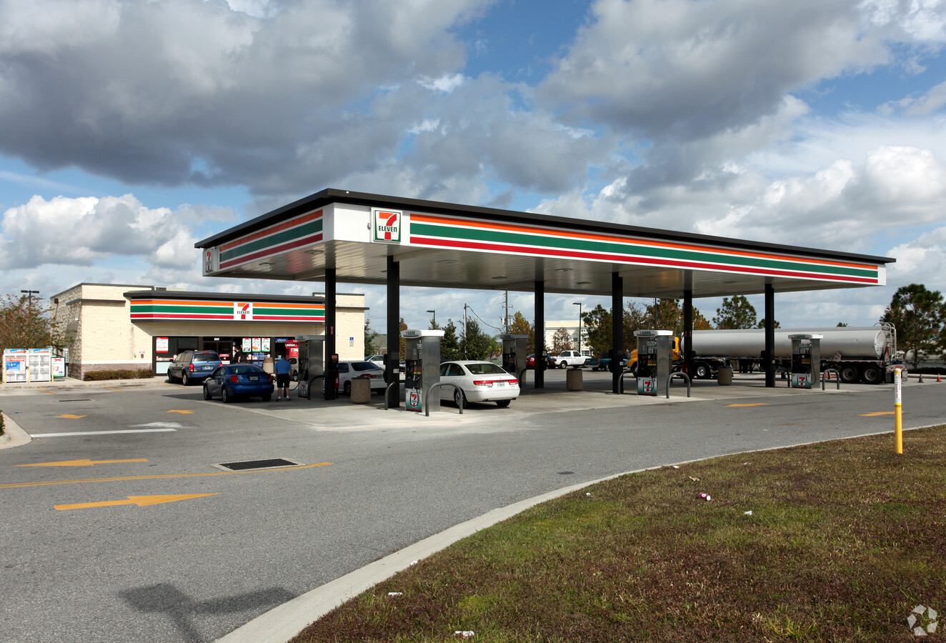
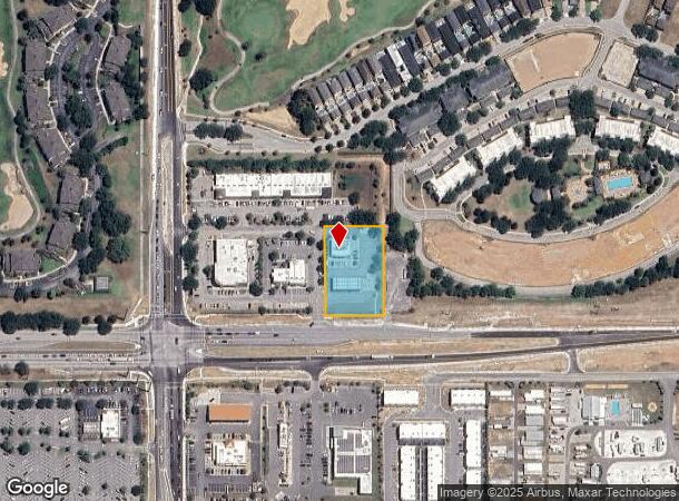
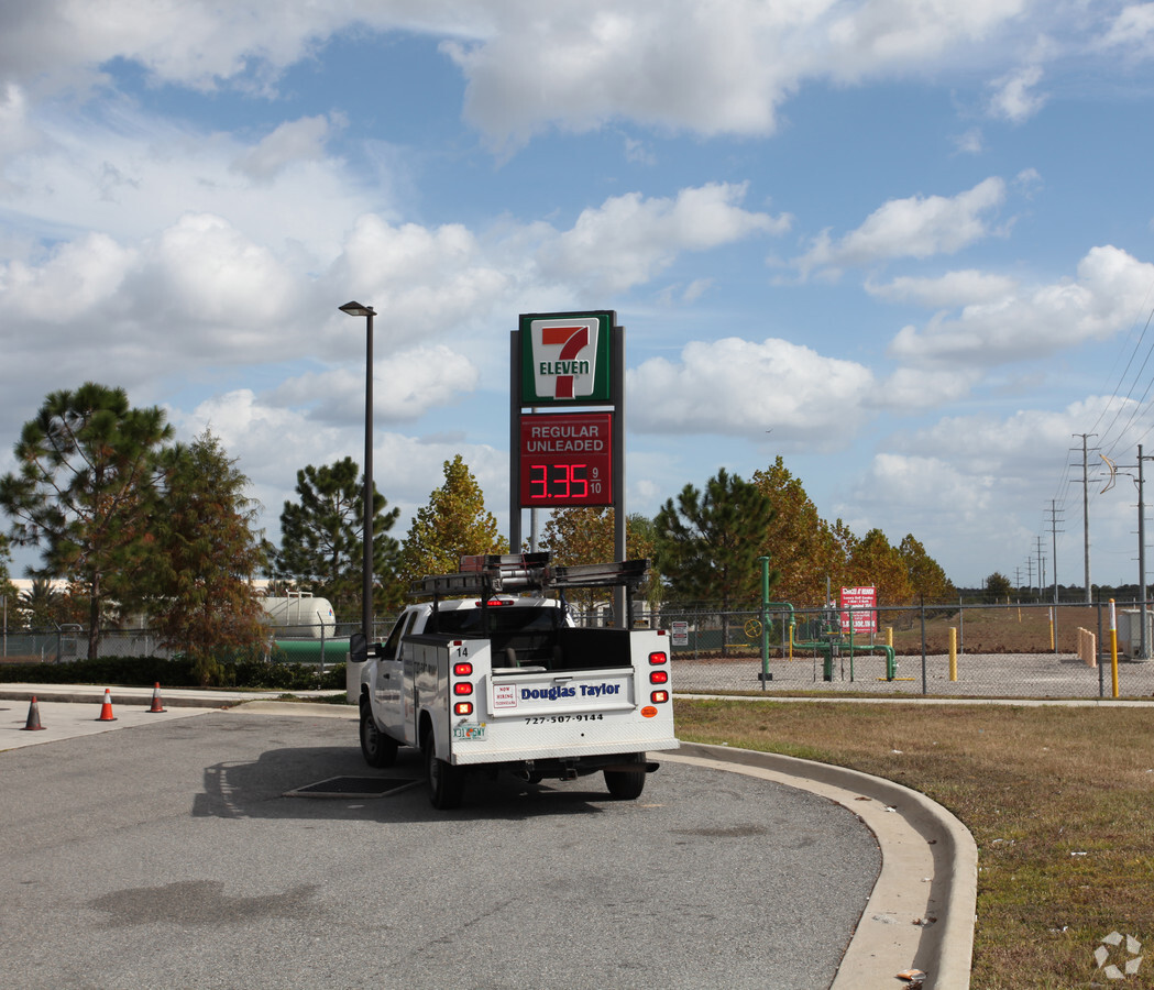
Property Record
7525 Osceola Polk Line Rd, Davenport, FL 33896

NEARBY LISTINGS FOR SALE OR LEASE
Property Detail
7525 Osceola Polk Line Rd
Orlando-Kissimmee-Sanford, FL
Lake Wilson Pointe
35-25-27-2566-0001-0030
LAKE WILSON POINTE PB 18 PG 185-186 LOT 3
Storebuilding
Osceola
X
Florida
12105C0125H
3
2023
1.16 AC
2024
Osceola Outlying
040801
Orlando
7,019 SF
DEMOGRAPHICS near 7525 Osceola Polk Line Rd
1 Mile
3 Mile
5 Mile
2024 Total Population
7,499
38,788
92,341
2029 Population
9,343
48,724
115,703
Pop Growth 2024-2029
+ 24.59%
+ 25.62%
+ 25.30%
Average Age
37
38
39
2024 Total Households
2,890
14,267
34,146
HH Growth 2024-2029
+ 24.46%
+ 25.53%
+ 25.25%
Median Household Inc
$57,370
$64,786
$70,576
Avg Household Size
2.50
2.70
2.70
2024 Avg HH Vehicles
2.00
2.00
2.00
Median Home Value
$288,635
$278,861
$286,896
Median Year Built
2005
2007
2007
Nearby Places
- Restaurants
- Banks
- Shops
- Fitness
- Groceries
PUBLIC TRANSPORTATION
COMMUTER RAIL
Poinciana (SunRail - Florida Department of Transportation)
DRIVE
WALK
Distance
Poinciana (SunRail - Florida Department of Transportation)
11 min
7.1 mi
AIRPORT
Orlando International
DRIVE
WALK
Distance
Orlando International
37 min
27.4 mi
Freight Ports
Port of Tampa Bay
DRIVE
WALK
Distance
Port of Tampa Bay
73 min
61.1 mi
SALE & LEASE HISTORY
LISTING DATE
SALE/LEASE

Jul 27, 2017
For Sale
Feb 21, 2018
For Sale
Aug 10, 2017
For Sale
Nearby Properties
Address
Land Use
TOTAL SIZE
Lot Size
Zoning
Address
Land Use
TOTAL SIZE
Lot Size
Zoning
736,399 SF
23.59 AC
OPD
Address
Land Use
TOTAL SIZE
Lot Size
Zoning
295,034 SF
14.25 AC
Address
Land Use
TOTAL SIZE
Lot Size
Zoning
417,544 SF
62.60 AC
Address
Land Use
TOTAL SIZE
Lot Size
Zoning
422,457 SF
17.46 AC
Address
Land Use
TOTAL SIZE
Lot Size
Zoning
357,007 SF
8.24 AC
Address
Land Use
TOTAL SIZE
Lot Size
Zoning
352,892 SF
19.23 AC
Address
Land Use
TOTAL SIZE
Lot Size
Zoning
329,700 SF
12.09 AC
Address
Land Use
TOTAL SIZE
Lot Size
Zoning
355,791 SF
28.19 AC
OPD
Address
Land Use
TOTAL SIZE
Lot Size
Zoning
358,576 SF
27.34 AC
OPD
Address
Land Use
TOTAL SIZE
Lot Size
Zoning
412,886 SF
10.72 AC
Address
Land Use
TOTAL SIZE
Lot Size
Zoning
597,078 SF
51.33 AC
Address
Land Use
TOTAL SIZE
Lot Size
Zoning
307,953 SF
16.20 AC
Address
Land Use
TOTAL SIZE
Lot Size
Zoning
434,866 SF
27.87 AC
Address
Land Use
TOTAL SIZE
Lot Size
Zoning
425,752 SF
19.52 AC
Address
Land Use
TOTAL SIZE
Lot Size
Zoning
256,589 SF
15.36 AC
OPD
Address
Land Use
TOTAL SIZE
Lot Size
Zoning
480,104 SF
12.37 AC
Address
Land Use
TOTAL SIZE
Lot Size
Zoning
216,296 SF
16.37 AC
Address
Land Use
TOTAL SIZE
Lot Size
Zoning
236,745 SF
26.56 AC
Address
Land Use
TOTAL SIZE
Lot Size
Zoning
143,427 SF
19.22 AC
Address
Land Use
TOTAL SIZE
Lot Size
Zoning
164,106 SF
7.13 AC
Address
Land Use
TOTAL SIZE
Lot Size
Zoning
228,683 SF
13.54 AC
RC
Address
Land Use
TOTAL SIZE
Lot Size
Zoning
108,948 SF
10.62 AC
OPD
Address
Land Use
TOTAL SIZE
Lot Size
Zoning
210,404 SF
45.84 AC
OPUD
Address
Land Use
TOTAL SIZE
Lot Size
Zoning
88,884 SF
3.34 AC
Address
Land Use
TOTAL SIZE
Lot Size
Zoning
41,812 SF
162.70 AC
OAC
Address
Land Use
TOTAL SIZE
Lot Size
Zoning
70.52 AC
OPUD
Address
Land Use
TOTAL SIZE
Lot Size
Zoning
98,712 SF
11.90 AC
Address
Land Use
TOTAL SIZE
Lot Size
Zoning
87,848 SF
14.44 AC
OAC
Address
Land Use
TOTAL SIZE
Lot Size
Zoning
62,808 SF
7.08 AC
OPD
Address
Land Use
TOTAL SIZE
Lot Size
Zoning
41,516 SF
19.59 AC
OPD
The World's #1 Commercial Real Estate Marketplace
Connect with us
© 2025 CoStar Group
The information above has been obtained from sources believed reliable. While we do not doubt its accuracy we have not verified it and make no guarantee, warranty or representation about it. It is your responsibility to independently confirm its accuracy and completeness. Any projections, opinions, assumptions, or estimates used are for example only and do not represent the current or future performance of the property. The value of this transaction to you depends on tax and other factors which should be evaluated by your tax, financial, and legal advisors. You and your advisors should conduct a careful, independent investigation of the property to determine to your satisfaction the suitability of the property for your needs.