Property Record
760 Image Way, Orange City, FL 32763
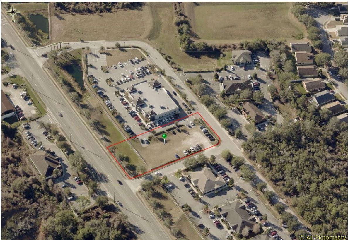


This Property Is For Sale
NEARBY LISTINGS FOR SALE OR LEASE
-
-
-
-
-
NEQ VETERANS MEMORIAL PKWY @ HARLEY STRICKLAND BLVD
Orange City, FL 32763
Rent Upon Request
1.08 - 12.29 AC Lot
Land
-
-
-
-
-
-
View all Orange City listings for sale on LoopNet.com
Property Detail
760 Image Way
Deltona-Daytona Beach-Ormond Beach, FL
Orange City Village Center Mb
8026-20-00-0130
LOT 13 EXC S 39 FT ORANGE CITY VILLAGE CENTER MB 53 PG 101 PER OR 6640 PG 1310
Commercialacreage
Volusia
X
Florida
12127C0620K
13
2023
1.01 AC
2024
Deltona
090905
Deltona/Daytona Beach
DEMOGRAPHICS near 760 Image Way
1 Mile
3 Mile
5 Mile
2024 Total Population
5,611
54,061
101,643
2029 Population
6,120
59,443
111,890
Pop Growth 2024-2029
+ 9.07%
+ 9.96%
+ 10.08%
Average Age
43
42
42
2024 Total Households
2,125
21,065
38,918
HH Growth 2024-2029
+ 9.18%
+ 10.09%
+ 10.19%
Median Household Inc
$85,346
$60,981
$64,049
Avg Household Size
2.60
2.50
2.50
2024 Avg HH Vehicles
2.00
2.00
2.00
Median Home Value
$268,062
$228,303
$229,349
Median Year Built
1995
1987
1988
Nearby Places
- Restaurants
- Banks
- Shops
- Fitness
- Groceries
PUBLIC TRANSPORTATION
COMMUTER RAIL
Debary (SunRail - Florida Department of Transportation)
DRIVE
WALK
Distance
Debary (SunRail - Florida Department of Transportation)
10 min
5.0 mi
AIRPORT
Orlando Sanford International
DRIVE
WALK
Distance
Orlando Sanford International
30 min
16.3 mi
Daytona Beach International
DRIVE
WALK
Distance
Daytona Beach International
35 min
26.9 mi
Freight Ports
Port Canaveral
DRIVE
WALK
Distance
Port Canaveral
96 min
78.5 mi
Nearby Properties
Address
Land Use
TOTAL SIZE
Lot Size
Zoning
Address
Land Use
TOTAL SIZE
Lot Size
Zoning
485,392 SF
69.83 AC
ROW
Address
Land Use
TOTAL SIZE
Lot Size
Zoning
409,021 SF
38.53 AC
ROW
Address
Land Use
TOTAL SIZE
Lot Size
Zoning
390,347 SF
4.10 AC
Address
Land Use
TOTAL SIZE
Lot Size
Zoning
299,423 SF
90.47 AC
12R1
Address
Land Use
TOTAL SIZE
Lot Size
Zoning
258,869 SF
38.34 AC
P
Address
Land Use
TOTAL SIZE
Lot Size
Zoning
232,605 SF
15.03 AC
12B4
Address
Land Use
TOTAL SIZE
Lot Size
Zoning
221,429 SF
25.84 AC
Address
Land Use
TOTAL SIZE
Lot Size
Zoning
212,959 SF
65.31 AC
MPUDE
Address
Land Use
TOTAL SIZE
Lot Size
Zoning
9,460 SF
208.56 AC
Address
Land Use
TOTAL SIZE
Lot Size
Zoning
136,761 SF
17.76 AC
Address
Land Use
TOTAL SIZE
Lot Size
Zoning
170,850 SF
17.82 AC
Address
Land Use
TOTAL SIZE
Lot Size
Zoning
213,506 SF
21 AC
12R2
Address
Land Use
TOTAL SIZE
Lot Size
Zoning
11,016 SF
13 AC
01MH1
Address
Land Use
TOTAL SIZE
Lot Size
Zoning
174,640 SF
13.46 AC
Address
Land Use
TOTAL SIZE
Lot Size
Zoning
193,964 SF
23.50 AC
Address
Land Use
TOTAL SIZE
Lot Size
Zoning
4,684 SF
1.14 AC
12MH1
Address
Land Use
TOTAL SIZE
Lot Size
Zoning
121,380 SF
2.33 AC
Address
Land Use
TOTAL SIZE
Lot Size
Zoning
11,509 SF
10 AC
01MH1
Address
Land Use
TOTAL SIZE
Lot Size
Zoning
135,845 SF
18.34 AC
Address
Land Use
TOTAL SIZE
Lot Size
Zoning
123,193 SF
20 AC
01A3
Address
Land Use
TOTAL SIZE
Lot Size
Zoning
117,406 SF
17.58 AC
Address
Land Use
TOTAL SIZE
Lot Size
Zoning
169,634 SF
12.97 AC
01B
Address
Land Use
TOTAL SIZE
Lot Size
Zoning
147,759 SF
19.64 AC
Address
Land Use
TOTAL SIZE
Lot Size
Zoning
229,109 SF
11.54 AC
Address
Land Use
TOTAL SIZE
Lot Size
Zoning
214,666 SF
9 AC
Address
Land Use
TOTAL SIZE
Lot Size
Zoning
44,975 SF
7.98 AC
Address
Land Use
TOTAL SIZE
Lot Size
Zoning
113,782 SF
18.52 AC
P
Address
Land Use
TOTAL SIZE
Lot Size
Zoning
115,271 SF
17.08 AC
R4
Address
Land Use
TOTAL SIZE
Lot Size
Zoning
139,919 SF
7.20 AC
MPUD
Address
Land Use
TOTAL SIZE
Lot Size
Zoning
111,512 SF
18.91 AC
B4
The World's #1 Commercial Real Estate Marketplace
Connect with us
© 2025 CoStar Group
The information above has been obtained from sources believed reliable. While we do not doubt its accuracy we have not verified it and make no guarantee, warranty or representation about it. It is your responsibility to independently confirm its accuracy and completeness. Any projections, opinions, assumptions, or estimates used are for example only and do not represent the current or future performance of the property. The value of this transaction to you depends on tax and other factors which should be evaluated by your tax, financial, and legal advisors. You and your advisors should conduct a careful, independent investigation of the property to determine to your satisfaction the suitability of the property for your needs.