Property Record
7620 Hub Pkwy, Cleveland, OH 44125
NEARBY LISTINGS FOR SALE OR LEASE
Property Detail
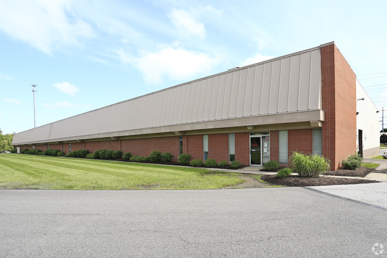
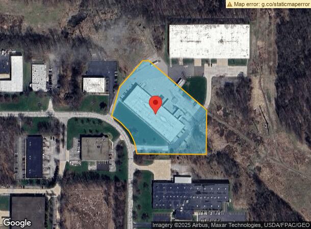
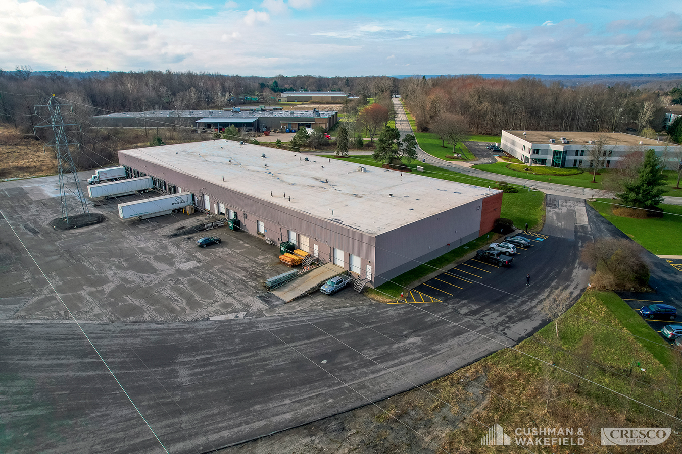
7620 Hub Pkwy
Cleveland-Elyria, OH
Hub Park
573-19-004
1 NP 432.57FT SP
Multitenantindustrial
Cuyahoga
X
Ohio
39153C0030F
1
2024
4.74 AC
2024
Brecksville/Vly View
192900
Cleveland
44,640 SF
DEMOGRAPHICS near 7620 Hub Pkwy
1 Mile
3 Mile
5 Mile
2024 Total Population
701
31,858
121,404
2029 Population
675
31,229
118,503
Pop Growth 2024-2029
(3.71%)
(1.97%)
(2.39%)
Average Age
49
44
43
2024 Total Households
287
13,758
51,842
HH Growth 2024-2029
(4.18%)
(1.99%)
(2.50%)
Median Household Inc
$110,267
$63,075
$62,583
Avg Household Size
2.40
2.30
2.30
2024 Avg HH Vehicles
2.00
2.00
2.00
Median Home Value
$275,724
$198,238
$164,051
Median Year Built
1980
1965
1960
Nearby Places
- Restaurants
- Banks
- Shops
- Fitness
- Groceries
PUBLIC TRANSPORTATION
AIRPORT
Cleveland Hopkins International
DRIVE
WALK
Distance
Cleveland Hopkins International
27 min
19.2 mi
Akron-Canton Regional
DRIVE
WALK
Distance
Akron-Canton Regional
48 min
36.6 mi
SALE & LEASE HISTORY
LISTING DATE
SALE/LEASE

May 09, 2019
For Lease
Feb 08, 2018
For Sale
Aug 27, 2018
For Lease
Apr 28, 2017
For Lease
Apr 26, 2022
For Lease
Apr 12, 2022
For Lease
Nearby Properties
Address
Land Use
TOTAL SIZE
Lot Size
Zoning
Address
Land Use
TOTAL SIZE
Lot Size
Zoning
376,124 SF
71.73 AC
Address
Land Use
TOTAL SIZE
Lot Size
Zoning
307,703 SF
47.05 AC
U-5
Address
Land Use
TOTAL SIZE
Lot Size
Zoning
228,253 SF
32.51 AC
C-F
Address
Land Use
TOTAL SIZE
Lot Size
Zoning
227,141 SF
23.76 AC
U-4
Address
Land Use
TOTAL SIZE
Lot Size
Zoning
260,000 SF
38.18 AC
U-5A
Address
Land Use
TOTAL SIZE
Lot Size
Zoning
137,795 SF
37.09 AC
R-4
Address
Land Use
TOTAL SIZE
Lot Size
Zoning
65,108 SF
24.93 AC
I/O
Address
Land Use
TOTAL SIZE
Lot Size
Zoning
350,592 SF
25.29 AC
O/I
Address
Land Use
TOTAL SIZE
Lot Size
Zoning
37.77 AC
U-5A
Address
Land Use
TOTAL SIZE
Lot Size
Zoning
718,431 SF
18.75 AC
O/I
Address
Land Use
TOTAL SIZE
Lot Size
Zoning
56,002 SF
6.76 AC
U-5
Address
Land Use
TOTAL SIZE
Lot Size
Zoning
127,224 SF
10 AC
IG
Address
Land Use
TOTAL SIZE
Lot Size
Zoning
148,264 SF
13.20 AC
U-5A
Address
Land Use
TOTAL SIZE
Lot Size
Zoning
136,516 SF
19.64 AC
IG
Address
Land Use
TOTAL SIZE
Lot Size
Zoning
158,824 SF
27.38 AC
U-8
Address
Land Use
TOTAL SIZE
Lot Size
Zoning
19.98 AC
R2
Address
Land Use
TOTAL SIZE
Lot Size
Zoning
127,930 SF
8.08 AC
Address
Land Use
TOTAL SIZE
Lot Size
Zoning
30.90 AC
IG
Address
Land Use
TOTAL SIZE
Lot Size
Zoning
116,800 SF
10 AC
IG
Address
Land Use
TOTAL SIZE
Lot Size
Zoning
348,733 SF
14.01 AC
O/I
Address
Land Use
TOTAL SIZE
Lot Size
Zoning
222,528 SF
12.86 AC
IG
Address
Land Use
TOTAL SIZE
Lot Size
Zoning
67,533 SF
3.15 AC
U-8
Address
Land Use
TOTAL SIZE
Lot Size
Zoning
203,400 SF
27.93 AC
IG
Address
Land Use
TOTAL SIZE
Lot Size
Zoning
94,883 SF
5.52 AC
CRL
Address
Land Use
TOTAL SIZE
Lot Size
Zoning
32,640 SF
6.90 AC
Address
Land Use
TOTAL SIZE
Lot Size
Zoning
8,760 SF
7.99 AC
R-4
Address
Land Use
TOTAL SIZE
Lot Size
Zoning
32,720 SF
7.85 AC
R-4
Address
Land Use
TOTAL SIZE
Lot Size
Zoning
172,257 SF
0.23 AC
O/I
Address
Land Use
TOTAL SIZE
Lot Size
Zoning
83,809 SF
9.27 AC
U-4
Address
Land Use
TOTAL SIZE
Lot Size
Zoning
135.02 AC
1F-3
The World's #1 Commercial Real Estate Marketplace
Connect with us
© 2025 CoStar Group
The information above has been obtained from sources believed reliable. While we do not doubt its accuracy we have not verified it and make no guarantee, warranty or representation about it. It is your responsibility to independently confirm its accuracy and completeness. Any projections, opinions, assumptions, or estimates used are for example only and do not represent the current or future performance of the property. The value of this transaction to you depends on tax and other factors which should be evaluated by your tax, financial, and legal advisors. You and your advisors should conduct a careful, independent investigation of the property to determine to your satisfaction the suitability of the property for your needs.