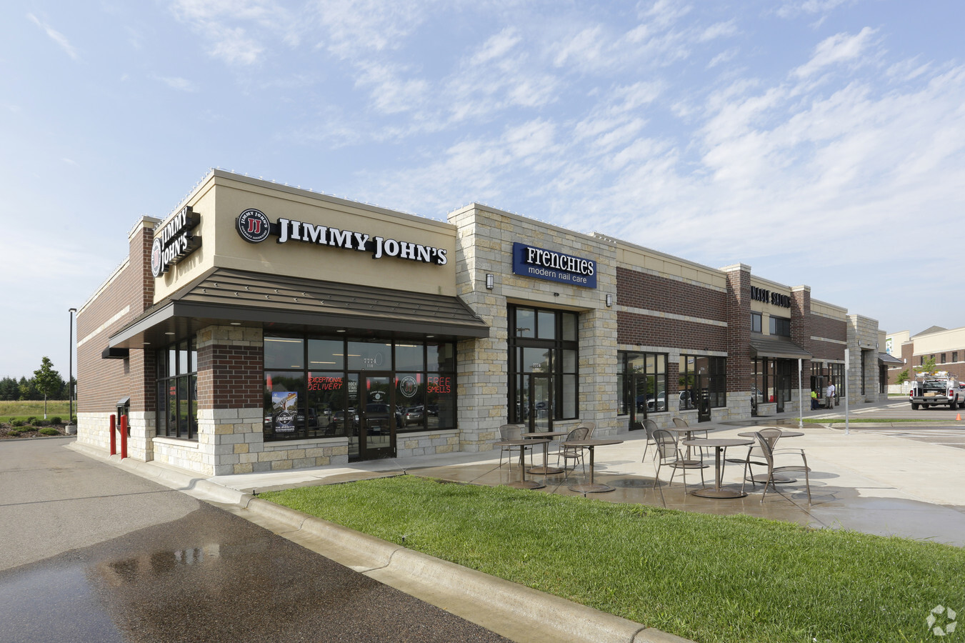
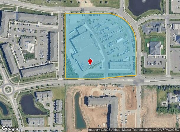
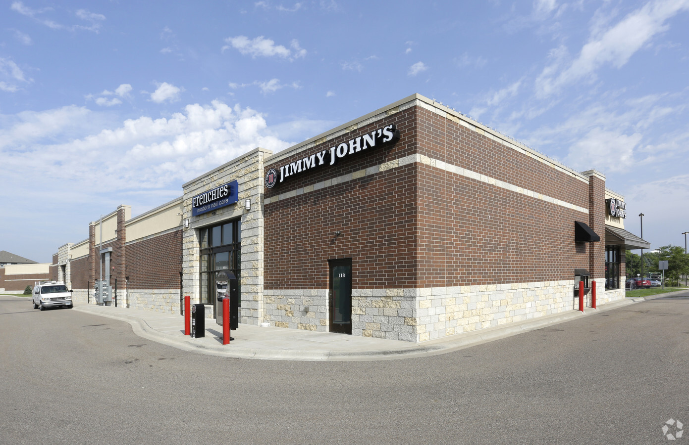
Property Record
7760 Hargis Pkwy, Saint Paul, MN 55129
NEARBY LISTINGS FOR SALE OR LEASE
Property Detail
7760 Hargis Pkwy
Minneapolis-St. Paul-Bloomington, MN-WI
Bielenberg Gardens
29-028-21-11-0010
BLOCK 1 LOT 1 SUBDIVISIONCD 2861 SUBDIVISIONNAME BIELENBERG GARDENS
Commercialnec
Washington
X
Minnesota
27123C0140G
1
2024
8.88 AC
2023
Woodbury
071019
Minneapolis/St Paul
83,337 SF
DEMOGRAPHICS near 7760 Hargis Pkwy
1 Mile
3 Mile
5 Mile
2024 Total Population
7,760
57,986
160,112
2029 Population
8,526
63,261
171,256
Pop Growth 2024-2029
+ 9.87%
+ 9.10%
+ 6.96%
Average Age
41
39
38
2024 Total Households
2,880
20,753
58,171
HH Growth 2024-2029
+ 10.42%
+ 9.17%
+ 6.95%
Median Household Inc
$124,474
$118,454
$102,882
Avg Household Size
2.60
2.70
2.70
2024 Avg HH Vehicles
2.00
2.00
2.00
Median Home Value
$403,776
$405,159
$353,272
Median Year Built
2001
1994
1991
Nearby Places
- Restaurants
- Banks
- Shops
- Fitness
- Groceries
PUBLIC TRANSPORTATION
AIRPORT
Minneapolis-St Paul International/Wold-Chamberlain
DRIVE
WALK
Distance
Minneapolis-St Paul International/Wold-Chamberlain
26 min
15.9 mi
Freight Ports
Port Milwaukee
DRIVE
WALK
Distance
Port Milwaukee
359 min
325.6 mi
SALE & LEASE HISTORY
LISTING DATE
SALE/LEASE

Oct 19, 2018
For Lease
Nearby Properties
Address
Land Use
TOTAL SIZE
Lot Size
Zoning
Address
Land Use
TOTAL SIZE
Lot Size
Zoning
114,777 SF
22.45 AC
Address
Land Use
TOTAL SIZE
Lot Size
Zoning
300,591 SF
62.48 AC
Address
Land Use
TOTAL SIZE
Lot Size
Zoning
243,476 SF
14.87 AC
Address
Land Use
TOTAL SIZE
Lot Size
Zoning
15.10 AC
Address
Land Use
TOTAL SIZE
Lot Size
Zoning
9.90 AC
Address
Land Use
TOTAL SIZE
Lot Size
Zoning
296,529 SF
31.80 AC
Address
Land Use
TOTAL SIZE
Lot Size
Zoning
3.63 AC
Address
Land Use
TOTAL SIZE
Lot Size
Zoning
5.77 AC
Address
Land Use
TOTAL SIZE
Lot Size
Zoning
190,833 SF
117.93 AC
Address
Land Use
TOTAL SIZE
Lot Size
Zoning
196,078 SF
31.29 AC
Address
Land Use
TOTAL SIZE
Lot Size
Zoning
551,440 SF
25.40 AC
Address
Land Use
TOTAL SIZE
Lot Size
Zoning
230,892 SF
43.62 AC
Address
Land Use
TOTAL SIZE
Lot Size
Zoning
77,566 SF
40 AC
Address
Land Use
TOTAL SIZE
Lot Size
Zoning
121,705 SF
35 AC
Address
Land Use
TOTAL SIZE
Lot Size
Zoning
78,278 SF
4.08 AC
Address
Land Use
TOTAL SIZE
Lot Size
Zoning
80,019 SF
10.21 AC
Address
Land Use
TOTAL SIZE
Lot Size
Zoning
52,294 SF
6.47 AC
Address
Land Use
TOTAL SIZE
Lot Size
Zoning
343,282 SF
10.79 AC
Address
Land Use
TOTAL SIZE
Lot Size
Zoning
42,342 SF
31.07 AC
Address
Land Use
TOTAL SIZE
Lot Size
Zoning
244,431 SF
Address
Land Use
TOTAL SIZE
Lot Size
Zoning
106,894 SF
5.88 AC
Address
Land Use
TOTAL SIZE
Lot Size
Zoning
50,246 SF
4.21 AC
Address
Land Use
TOTAL SIZE
Lot Size
Zoning
94,822 SF
34.92 AC
Address
Land Use
TOTAL SIZE
Lot Size
Zoning
123,226 SF
9.50 AC
Address
Land Use
TOTAL SIZE
Lot Size
Zoning
48,625 SF
4.73 AC
Address
Land Use
TOTAL SIZE
Lot Size
Zoning
97,205 SF
29.22 AC
Address
Land Use
TOTAL SIZE
Lot Size
Zoning
38,488 SF
3.30 AC
Address
Land Use
TOTAL SIZE
Lot Size
Zoning
64,742 SF
3.56 AC
Address
Land Use
TOTAL SIZE
Lot Size
Zoning
70,534 SF
6.89 AC
The World's #1 Commercial Real Estate Marketplace
Connect with us
© 2025 CoStar Group
The information above has been obtained from sources believed reliable. While we do not doubt its accuracy we have not verified it and make no guarantee, warranty or representation about it. It is your responsibility to independently confirm its accuracy and completeness. Any projections, opinions, assumptions, or estimates used are for example only and do not represent the current or future performance of the property. The value of this transaction to you depends on tax and other factors which should be evaluated by your tax, financial, and legal advisors. You and your advisors should conduct a careful, independent investigation of the property to determine to your satisfaction the suitability of the property for your needs.