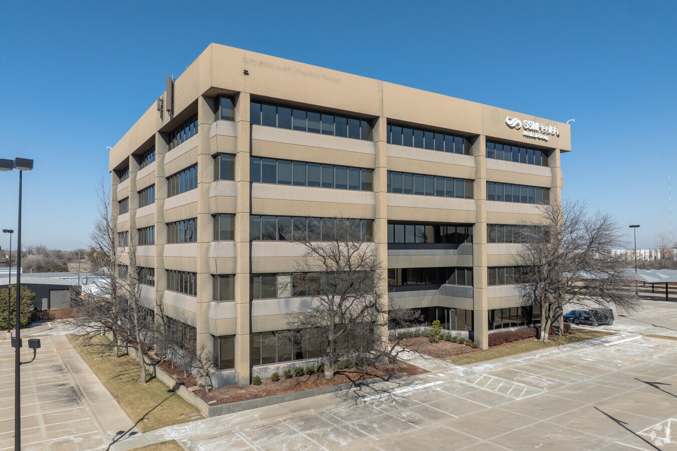
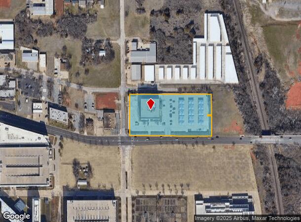
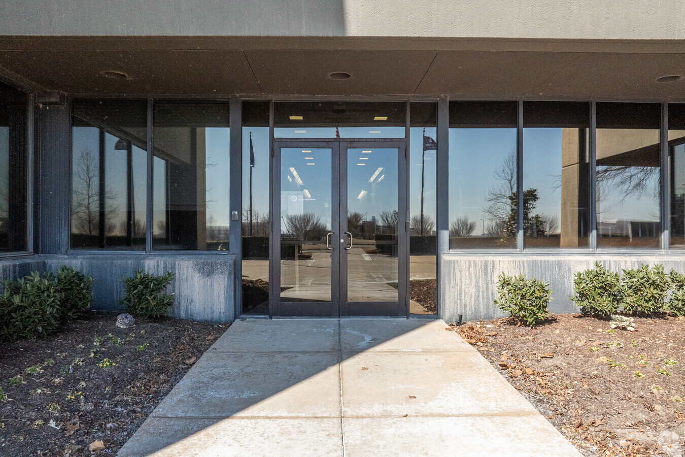
Property Record
777 Nw 63Rd St, Oklahoma City, OK 73116
Current Lease Availabilities
NEARBY LISTINGS FOR SALE OR LEASE
Property Detail
777 Nw 63Rd St
Oklahoma City, OK
Burtons Sub Blk 133/138 N Oc
073778460
BURTONS SUB BLK 133/138 N OC 008 000 LOTS 11 THRU 30 & PT OF LOTS 31 THRU 49 & PT OF VAC ALLEY IN BLK 8 ALL DESCRIBED AS BEG AT NW/C LT 30 BLK 8 TH E500FT S134FT W25FT S117.10FT TO N R/W LINE NW 63RD ST TH W175FT TH ALONG N R/W W50FT W50FT W100FT W10
Taxexempt
Oklahoma
X
Oklahoma
40109C0170H
10-50
2023
6.10 AC
2023
North
106200
Oklahoma City
70,368 SF
DEMOGRAPHICS near 777 Nw 63Rd St
1 Mile
3 Mile
5 Mile
2024 Total Population
3,041
66,333
177,707
2029 Population
3,120
68,204
183,150
Pop Growth 2024-2029
+ 2.60%
+ 2.82%
+ 3.06%
Average Age
44
39
38
2024 Total Households
1,455
30,614
82,070
HH Growth 2024-2029
+ 2.61%
+ 2.87%
+ 3.17%
Median Household Inc
$81,871
$53,685
$50,803
Avg Household Size
2.10
2.10
2.10
2024 Avg HH Vehicles
2.00
2.00
2.00
Median Home Value
$292,770
$199,012
$177,862
Median Year Built
1959
1958
1963
Nearby Places
- Restaurants
- Banks
- Shops
- Fitness
- Groceries
PUBLIC TRANSPORTATION
COMMUTER RAIL
Oklahoma City (Heartland Flyer - Amtrak)
DRIVE
WALK
Distance
Oklahoma City (Heartland Flyer - Amtrak)
10 min
5.8 mi
AIRPORT
Will Rogers World
DRIVE
WALK
Distance
Will Rogers World
25 min
13.9 mi
Freight Ports
Tulsa Port Of Catoosa
DRIVE
WALK
Distance
Tulsa Port Of Catoosa
131 min
120.1 mi
Nearby Properties
Address
Land Use
TOTAL SIZE
Lot Size
Zoning
Address
Land Use
TOTAL SIZE
Lot Size
Zoning
233,053 SF
18.93 AC
Address
Land Use
TOTAL SIZE
Lot Size
Zoning
819,976 SF
21.87 AC
Address
Land Use
TOTAL SIZE
Lot Size
Zoning
442,553 SF
58.86 AC
Address
Land Use
TOTAL SIZE
Lot Size
Zoning
777,727 SF
54.25 AC
I-2
Address
Land Use
TOTAL SIZE
Lot Size
Zoning
467,216 SF
66.90 AC
Address
Land Use
TOTAL SIZE
Lot Size
Zoning
58,071 SF
4.15 AC
Address
Land Use
TOTAL SIZE
Lot Size
Zoning
327,248 SF
14.22 AC
Address
Land Use
TOTAL SIZE
Lot Size
Zoning
294,583 SF
20.14 AC
Address
Land Use
TOTAL SIZE
Lot Size
Zoning
430,092 SF
52.05 AC
Address
Land Use
TOTAL SIZE
Lot Size
Zoning
202,147 SF
44.36 AC
Address
Land Use
TOTAL SIZE
Lot Size
Zoning
485,764 SF
6.05 AC
Address
Land Use
TOTAL SIZE
Lot Size
Zoning
452,123 SF
5.64 AC
O-2
Address
Land Use
TOTAL SIZE
Lot Size
Zoning
10,922 SF
1.04 AC
Address
Land Use
TOTAL SIZE
Lot Size
Zoning
377,880 SF
24.34 AC
Address
Land Use
TOTAL SIZE
Lot Size
Zoning
258,381 SF
2.54 AC
PUD
Address
Land Use
TOTAL SIZE
Lot Size
Zoning
254,126 SF
2.11 AC
SPUD
Address
Land Use
TOTAL SIZE
Lot Size
Zoning
105,426 SF
15.58 AC
Address
Land Use
TOTAL SIZE
Lot Size
Zoning
681,708 SF
20.54 AC
Address
Land Use
TOTAL SIZE
Lot Size
Zoning
244,699 SF
35.50 AC
Address
Land Use
TOTAL SIZE
Lot Size
Zoning
160,389 SF
16.48 AC
Address
Land Use
TOTAL SIZE
Lot Size
Zoning
436,316 SF
5.23 AC
I-1
Address
Land Use
TOTAL SIZE
Lot Size
Zoning
189,504 SF
5.74 AC
Address
Land Use
TOTAL SIZE
Lot Size
Zoning
285,771 SF
8.64 AC
Address
Land Use
TOTAL SIZE
Lot Size
Zoning
147,511 SF
2.84 AC
Address
Land Use
TOTAL SIZE
Lot Size
Zoning
198,422 SF
4.16 AC
O-2
Address
Land Use
TOTAL SIZE
Lot Size
Zoning
1 SF
3.72 AC
Address
Land Use
TOTAL SIZE
Lot Size
Zoning
167,057 SF
2.62 AC
PUD
Address
Land Use
TOTAL SIZE
Lot Size
Zoning
142,592 SF
6.60 AC
Address
Land Use
TOTAL SIZE
Lot Size
Zoning
39,883 SF
2.35 AC
Address
Land Use
TOTAL SIZE
Lot Size
Zoning
70,284 SF
9.40 AC
The World's #1 Commercial Real Estate Marketplace
Connect with us
© 2025 CoStar Group
The information above has been obtained from sources believed reliable. While we do not doubt its accuracy we have not verified it and make no guarantee, warranty or representation about it. It is your responsibility to independently confirm its accuracy and completeness. Any projections, opinions, assumptions, or estimates used are for example only and do not represent the current or future performance of the property. The value of this transaction to you depends on tax and other factors which should be evaluated by your tax, financial, and legal advisors. You and your advisors should conduct a careful, independent investigation of the property to determine to your satisfaction the suitability of the property for your needs.