Property Record
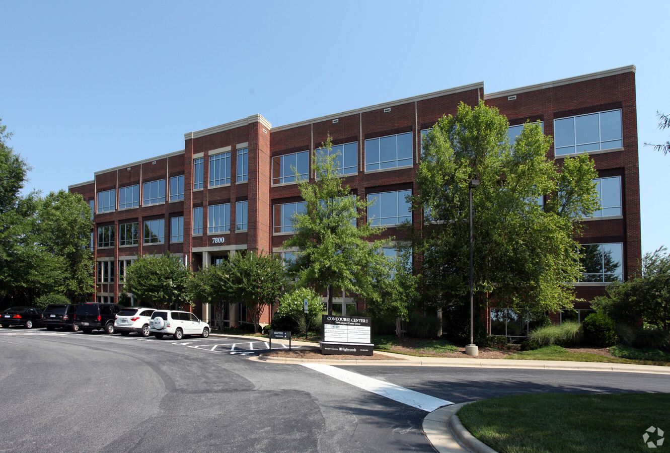
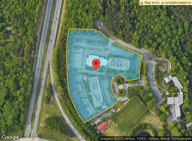
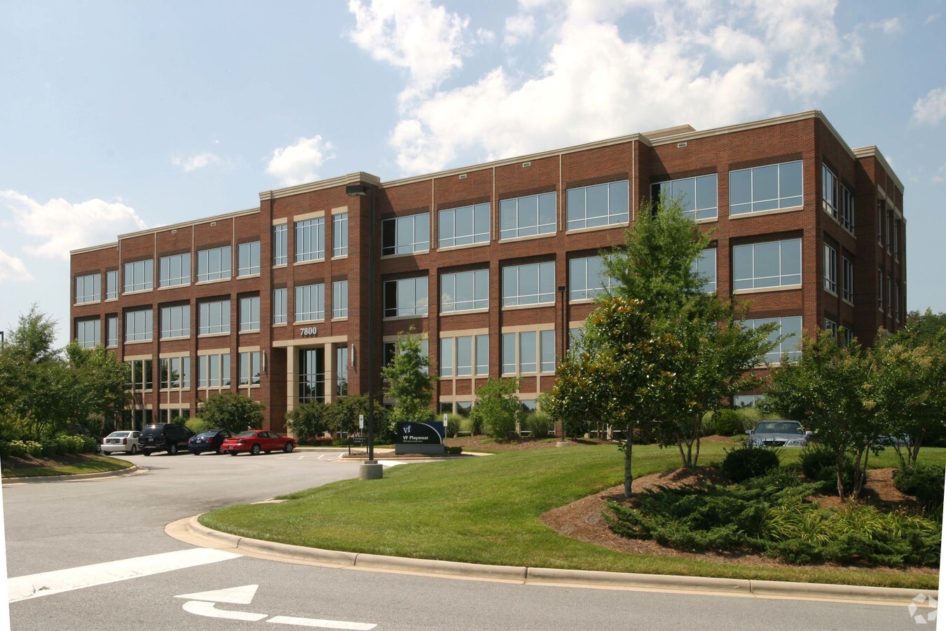
7800 Airport Center Dr, Greensboro, NC 27409
NEARBY LISTINGS FOR SALE OR LEASE
Property Detail
7800 Airport Center Dr
Greensboro-High Point, NC
Concourse
0097827
10.56AC LOT B-1 PB 150-72 CONCOURSE
Publicschool
Guilford
X
North Carolina
3710781600J
b-1
2023
10.56 AC
2023
Airport/W Guilford County
016008
Greensboro/Winston-Salem
90,936 SF
DEMOGRAPHICS near 7800 Airport Center Dr
1 Mile
3 Mile
5 Mile
2024 Total Population
2,278
15,149
66,489
2029 Population
2,351
15,271
66,683
Pop Growth 2024-2029
+ 3.20%
+ 0.81%
+ 0.29%
Average Age
39
39
40
2024 Total Households
898
5,998
28,578
HH Growth 2024-2029
+ 3.12%
+ 0.85%
+ 0.25%
Median Household Inc
$76,042
$83,397
$73,915
Avg Household Size
2.50
2.50
2.30
2024 Avg HH Vehicles
2.00
2.00
2.00
Median Home Value
$243,811
$257,024
$252,881
Median Year Built
2006
1995
1994
Nearby Places
- Restaurants
- Banks
- Shops
- Fitness
- Groceries
PUBLIC TRANSPORTATION
AIRPORT
Piedmont Triad International
DRIVE
WALK
Distance
Piedmont Triad International
15 min
5.7 mi
Freight Ports
Virginia Port Authority - Richmond
DRIVE
WALK
Distance
Virginia Port Authority - Richmond
244 min
210.5 mi
Nearby Properties
Address
Land Use
TOTAL SIZE
Lot Size
Zoning
Address
Land Use
TOTAL SIZE
Lot Size
Zoning
404,766 SF
153.35 AC
AR
Address
Land Use
TOTAL SIZE
Lot Size
Zoning
410,298 SF
33.10 AC
CU-RM-12
Address
Land Use
TOTAL SIZE
Lot Size
Zoning
691,408 SF
58.69 AC
LI
Address
Land Use
TOTAL SIZE
Lot Size
Zoning
340,508 SF
15.45 AC
RM-26
Address
Land Use
TOTAL SIZE
Lot Size
Zoning
186,200 SF
10.58 AC
LI
Address
Land Use
TOTAL SIZE
Lot Size
Zoning
509,216 SF
40.85 AC
LI
Address
Land Use
TOTAL SIZE
Lot Size
Zoning
428,867 SF
76.65 AC
CU-LI
Address
Land Use
TOTAL SIZE
Lot Size
Zoning
362,708 SF
56.81 AC
LI
Address
Land Use
TOTAL SIZE
Lot Size
Zoning
325.42 AC
AR
Address
Land Use
TOTAL SIZE
Lot Size
Zoning
341,000 SF
29.55 AC
CD-LI
Address
Land Use
TOTAL SIZE
Lot Size
Zoning
543,123 SF
24.66 AC
BP
Address
Land Use
TOTAL SIZE
Lot Size
Zoning
217,000 SF
16.58 AC
AG
Address
Land Use
TOTAL SIZE
Lot Size
Zoning
267,381 SF
18.98 AC
RM-12
Address
Land Use
TOTAL SIZE
Lot Size
Zoning
161,975 SF
20.66 AC
BP
Address
Land Use
TOTAL SIZE
Lot Size
Zoning
266,928 SF
22.44 AC
PUD
Address
Land Use
TOTAL SIZE
Lot Size
Zoning
134,781 SF
140.63 AC
AR
Address
Land Use
TOTAL SIZE
Lot Size
Zoning
209,128 SF
17.45 AC
PD-R
Address
Land Use
TOTAL SIZE
Lot Size
Zoning
112,728 SF
9.18 AC
BP
Address
Land Use
TOTAL SIZE
Lot Size
Zoning
66,780 SF
16.64 AC
CU-LI
Address
Land Use
TOTAL SIZE
Lot Size
Zoning
171,955 SF
6.16 AC
BP
Address
Land Use
TOTAL SIZE
Lot Size
Zoning
254,857 SF
82.98 AC
PI
Address
Land Use
TOTAL SIZE
Lot Size
Zoning
185,310 SF
14.37 AC
CU-LI
Address
Land Use
TOTAL SIZE
Lot Size
Zoning
100,733 SF
7.63 AC
BP
Address
Land Use
TOTAL SIZE
Lot Size
Zoning
95,521 SF
4.41 AC
CD-C-M
Address
Land Use
TOTAL SIZE
Lot Size
Zoning
292,513 SF
23.84 AC
HI
Address
Land Use
TOTAL SIZE
Lot Size
Zoning
218,724 SF
33.96 AC
CU-LI
Address
Land Use
TOTAL SIZE
Lot Size
Zoning
316,092 SF
16.10 AC
LI
Address
Land Use
TOTAL SIZE
Lot Size
Zoning
121,396 SF
23.67 AC
BP
Address
Land Use
TOTAL SIZE
Lot Size
Zoning
140,587 SF
9.88 AC
BP
The World's #1 Commercial Real Estate Marketplace
Connect with us
© 2025 CoStar Group
The information above has been obtained from sources believed reliable. While we do not doubt its accuracy we have not verified it and make no guarantee, warranty or representation about it. It is your responsibility to independently confirm its accuracy and completeness. Any projections, opinions, assumptions, or estimates used are for example only and do not represent the current or future performance of the property. The value of this transaction to you depends on tax and other factors which should be evaluated by your tax, financial, and legal advisors. You and your advisors should conduct a careful, independent investigation of the property to determine to your satisfaction the suitability of the property for your needs.