Property Record
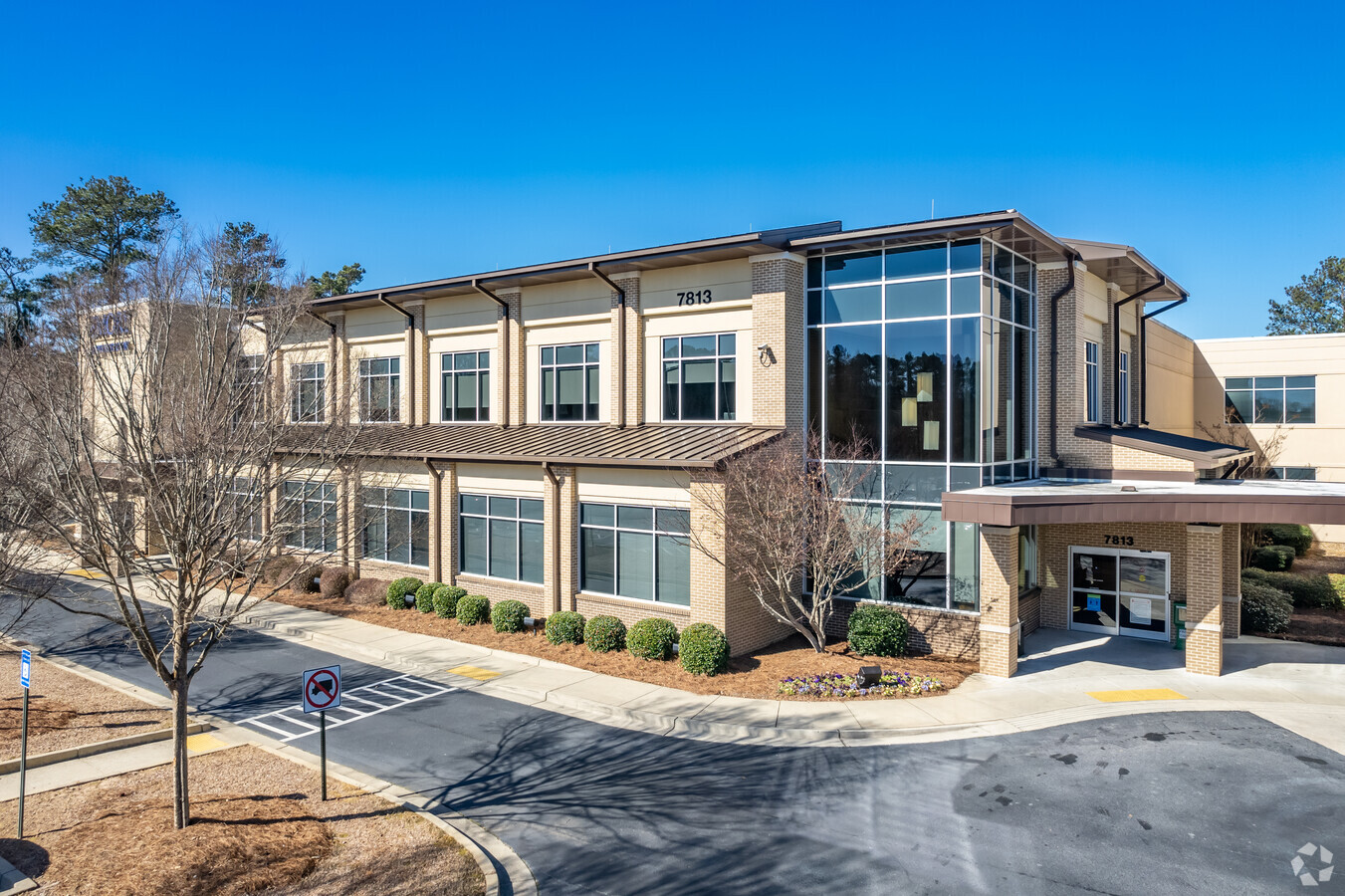
7813 Spivey Station Blvd, Jonesboro, GA 30236


NEARBY LISTINGS FOR SALE OR LEASE
Property Detail
7813 Spivey Station Blvd
Atlanta-Sandy Springs-Roswell, GA
Spivey Station Final
12-0044B-00A-005
COMMERCIAL
Medicalbuilding
Clayton
X
Georgia
13063C0091F
44
2024
2.98 AC
2024
North Clayton/Airport
040615
Atlanta
49,500 SF
DEMOGRAPHICS near 7813 Spivey Station Blvd
1 Mile
3 Mile
5 Mile
2024 Total Population
6,086
55,785
157,711
2029 Population
6,109
56,229
160,087
Pop Growth 2024-2029
+ 0.38%
+ 0.80%
+ 1.51%
Average Age
43
38
37
2024 Total Households
2,101
20,649
56,333
HH Growth 2024-2029
+ 0.48%
+ 0.78%
+ 1.62%
Median Household Inc
$76,599
$63,681
$56,616
Avg Household Size
2.80
2.60
2.70
2024 Avg HH Vehicles
2.00
2.00
2.00
Median Home Value
$237,522
$200,589
$184,078
Median Year Built
1990
1991
1990
Nearby Places
- Restaurants
- Banks
- Shops
- Fitness
- Groceries
PUBLIC TRANSPORTATION
AIRPORT
Hartsfield - Jackson Atlanta International
DRIVE
WALK
Distance
Hartsfield - Jackson Atlanta International
22 min
14.7 mi
Freight Ports
Georgia Ports - Savannah
DRIVE
WALK
Distance
Georgia Ports - Savannah
259 min
231.6 mi
SALE & LEASE HISTORY
LISTING DATE
SALE/LEASE

Nov 12, 2018
For Lease
Feb 01, 2018
For Lease
Dec 21, 2016
For Lease
Nearby Properties
Address
Land Use
TOTAL SIZE
Lot Size
Zoning
Address
Land Use
TOTAL SIZE
Lot Size
Zoning
368 SF
42.85 AC
RM
Address
Land Use
TOTAL SIZE
Lot Size
Zoning
250 SF
31.25 AC
RM
Address
Land Use
TOTAL SIZE
Lot Size
Zoning
284 SF
29 AC
RM
Address
Land Use
TOTAL SIZE
Lot Size
Zoning
18,143 SF
30 AC
PD
Address
Land Use
TOTAL SIZE
Lot Size
Zoning
29,520 SF
31.82 AC
C3
Address
Land Use
TOTAL SIZE
Lot Size
Zoning
330 SF
33.30 AC
RM
Address
Land Use
TOTAL SIZE
Lot Size
Zoning
216 SF
31.17 AC
RM
Address
Land Use
TOTAL SIZE
Lot Size
Zoning
217,289 SF
52.12 AC
OI
Address
Land Use
TOTAL SIZE
Lot Size
Zoning
18.12 AC
MXR
Address
Land Use
TOTAL SIZE
Lot Size
Zoning
200 SF
19.94 AC
RM
Address
Land Use
TOTAL SIZE
Lot Size
Zoning
200 SF
23.02 AC
RM
Address
Land Use
TOTAL SIZE
Lot Size
Zoning
200 SF
20.23 AC
RM
Address
Land Use
TOTAL SIZE
Lot Size
Zoning
194,682 SF
27.80 AC
OI
Address
Land Use
TOTAL SIZE
Lot Size
Zoning
260 SF
33.31 AC
MXR
Address
Land Use
TOTAL SIZE
Lot Size
Zoning
707,780 SF
85.14 AC
MXI
Address
Land Use
TOTAL SIZE
Lot Size
Zoning
20.65 AC
RM
Address
Land Use
TOTAL SIZE
Lot Size
Zoning
87,449 SF
14 AC
MC
Address
Land Use
TOTAL SIZE
Lot Size
Zoning
346 SF
34.53 AC
RM
Address
Land Use
TOTAL SIZE
Lot Size
Zoning
200 SF
22 AC
RM
Address
Land Use
TOTAL SIZE
Lot Size
Zoning
123,842 SF
31.53 AC
RS110
Address
Land Use
TOTAL SIZE
Lot Size
Zoning
200 SF
18.36 AC
RM
Address
Land Use
TOTAL SIZE
Lot Size
Zoning
1,140 SF
187.84 AC
MX
Address
Land Use
TOTAL SIZE
Lot Size
Zoning
200 SF
25 AC
RM
Address
Land Use
TOTAL SIZE
Lot Size
Zoning
188 SF
28.36 AC
RM
Address
Land Use
TOTAL SIZE
Lot Size
Zoning
200 SF
19 AC
RM
Address
Land Use
TOTAL SIZE
Lot Size
Zoning
525 SF
103.20 AC
RM
Address
Land Use
TOTAL SIZE
Lot Size
Zoning
351,207 SF
20 AC
HI
Address
Land Use
TOTAL SIZE
Lot Size
Zoning
180 SF
30 AC
RM
Address
Land Use
TOTAL SIZE
Lot Size
Zoning
182 SF
19.46 AC
RM
Address
Land Use
TOTAL SIZE
Lot Size
Zoning
84,230 SF
11.56 AC
MCD
The World's #1 Commercial Real Estate Marketplace
Connect with us
© 2025 CoStar Group
The information above has been obtained from sources believed reliable. While we do not doubt its accuracy we have not verified it and make no guarantee, warranty or representation about it. It is your responsibility to independently confirm its accuracy and completeness. Any projections, opinions, assumptions, or estimates used are for example only and do not represent the current or future performance of the property. The value of this transaction to you depends on tax and other factors which should be evaluated by your tax, financial, and legal advisors. You and your advisors should conduct a careful, independent investigation of the property to determine to your satisfaction the suitability of the property for your needs.