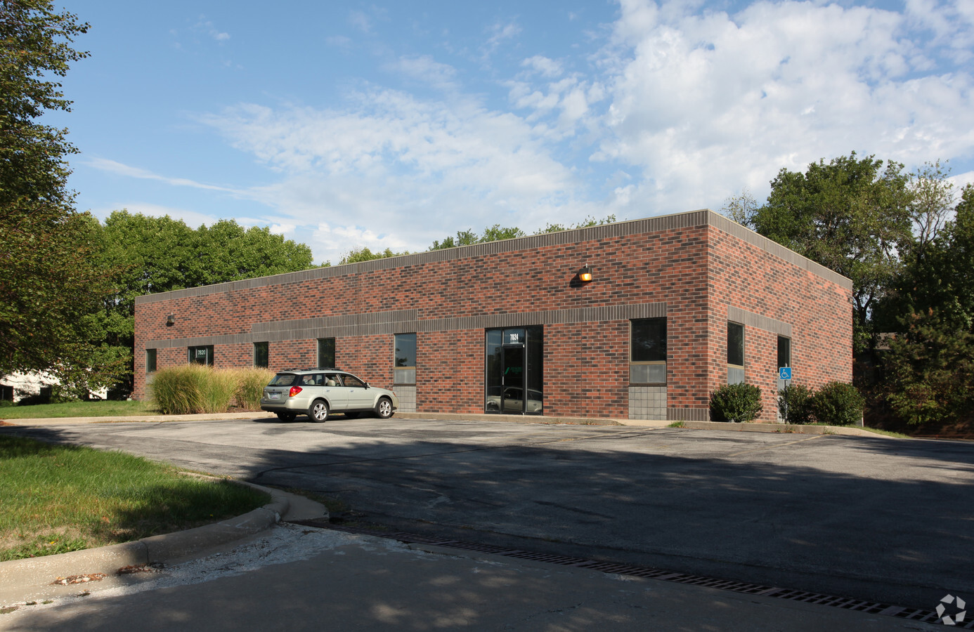
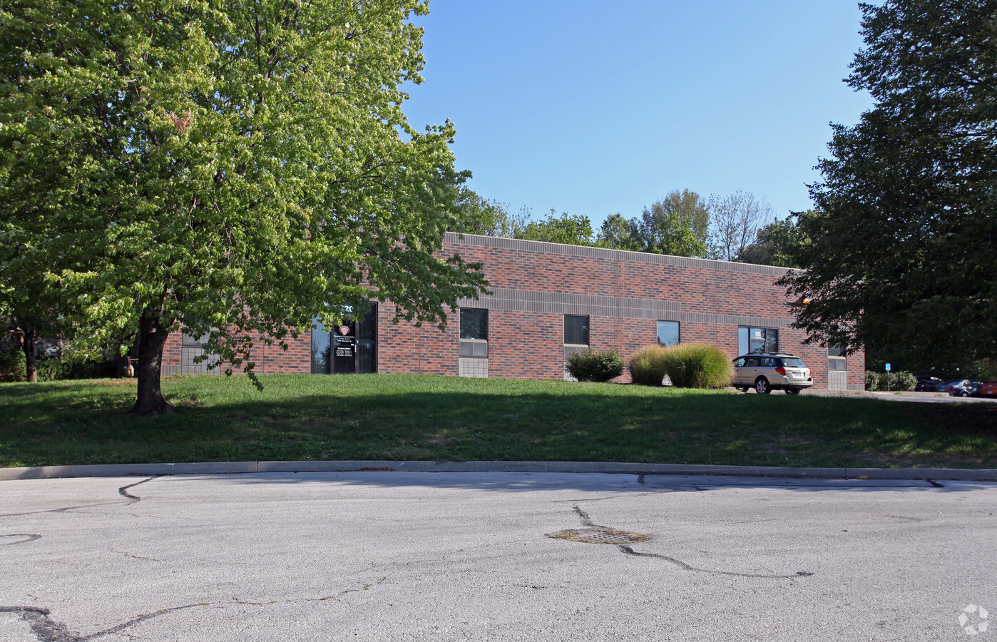
Property Record
7820 Barton St, Overland Park, KS 66214
NEARBY LISTINGS FOR SALE OR LEASE
Property Detail
7820 Barton St
Kansas City, MO-KS
79Th Street Business Park
IP67000000-0008A
Johnson
Warehouse
Kansas
X
0.90 AC
20091C0037G
Lenexa
6,097 SF
Kansas City
DEMOGRAPHICS near 7820 Barton St
1 Mile
3 Mile
5 Mile
2024 Total Population
13,856
103,582
223,661
2029 Population
14,497
107,617
231,952
Pop Growth 2024-2029
+ 4.63%
+ 3.90%
+ 3.71%
Average Age
37
40
41
2024 Total Households
6,569
44,876
98,556
HH Growth 2024-2029
+ 4.64%
+ 4.07%
+ 3.91%
Median Household Inc
$57,113
$72,921
$77,838
Avg Household Size
2.10
2.20
2.20
2024 Avg HH Vehicles
2.00
2.00
2.00
Median Home Value
$245,110
$252,886
$277,088
Median Year Built
1977
1973
1974
Nearby Places
- Restaurants
- Banks
- Shops
- Fitness
- Groceries
PUBLIC TRANSPORTATION
AIRPORT
Kansas City International
DRIVE
WALK
Distance
Kansas City International
40 min
29.8 mi
Freight Ports
Tulsa Port Of Catoosa
DRIVE
WALK
Distance
Tulsa Port Of Catoosa
255 min
227.7 mi
SALE & LEASE HISTORY
LISTING DATE
SALE/LEASE

Oct 14, 2024
For Sale
Nearby Properties
Address
Land Use
TOTAL SIZE
Lot Size
Zoning
Address
Land Use
TOTAL SIZE
Lot Size
Zoning
857,568 SF
38.48 AC
PUD-G
Address
Land Use
TOTAL SIZE
Lot Size
Zoning
740,953 SF
88.91 AC
RP5
Address
Land Use
TOTAL SIZE
Lot Size
Zoning
279,588 SF
19.50 AC
RP5
Address
Land Use
TOTAL SIZE
Lot Size
Zoning
203,079 SF
8.10 AC
BP2
Address
Land Use
TOTAL SIZE
Lot Size
Zoning
202,842 SF
10.20 AC
PD
Address
Land Use
TOTAL SIZE
Lot Size
Zoning
234,968 SF
37.40 AC
R-1
Address
Land Use
TOTAL SIZE
Lot Size
Zoning
133,505 SF
16.41 AC
R-1
Address
Land Use
TOTAL SIZE
Lot Size
Zoning
166,039 SF
35.38 AC
R-1
Address
Land Use
TOTAL SIZE
Lot Size
Zoning
120,492 SF
10 AC
R1
Address
Land Use
TOTAL SIZE
Lot Size
Zoning
96,501 SF
6.49 AC
Address
Land Use
TOTAL SIZE
Lot Size
Zoning
146,143 SF
10.59 AC
CP-2
Address
Land Use
TOTAL SIZE
Lot Size
Zoning
411,435 SF
17.41 AC
CP-2
Address
Land Use
TOTAL SIZE
Lot Size
Zoning
89,477 SF
16.45 AC
R-1
Address
Land Use
TOTAL SIZE
Lot Size
Zoning
79,437 SF
4.12 AC
DFD
Address
Land Use
TOTAL SIZE
Lot Size
Zoning
72,994 SF
7.98 AC
RP3
Address
Land Use
TOTAL SIZE
Lot Size
Zoning
63,471 SF
7.36 AC
PARK
Address
Land Use
TOTAL SIZE
Lot Size
Zoning
139,880 SF
17.18 AC
R1
Address
Land Use
TOTAL SIZE
Lot Size
Zoning
85,940 SF
9.08 AC
RGA
Address
Land Use
TOTAL SIZE
Lot Size
Zoning
49,282 SF
11.89 AC
RP1
Address
Land Use
TOTAL SIZE
Lot Size
Zoning
85,703 SF
7.84 AC
R-1
Address
Land Use
TOTAL SIZE
Lot Size
Zoning
81,361 SF
3.81 AC
AG
Address
Land Use
TOTAL SIZE
Lot Size
Zoning
89,002 SF
8.77 AC
R-1
Address
Land Use
TOTAL SIZE
Lot Size
Zoning
79,737 SF
11.90 AC
R-1
Address
Land Use
TOTAL SIZE
Lot Size
Zoning
95,736 SF
15.76 AC
R-1
Address
Land Use
TOTAL SIZE
Lot Size
Zoning
37,499 SF
3.72 AC
PUD-G
Address
Land Use
TOTAL SIZE
Lot Size
Zoning
88,866 SF
21.54 AC
RS
Address
Land Use
TOTAL SIZE
Lot Size
Zoning
138,294 SF
9.66 AC
R-1
Address
Land Use
TOTAL SIZE
Lot Size
Zoning
85,469 SF
10.32 AC
CPO
Address
Land Use
TOTAL SIZE
Lot Size
Zoning
70,952 SF
9.98 AC
R-1
Address
Land Use
TOTAL SIZE
Lot Size
Zoning
82,035 SF
8.49 AC
R-1
The World's #1 Commercial Real Estate Marketplace
Connect with us
© 2025 CoStar Group
The information above has been obtained from sources believed reliable. While we do not doubt its accuracy we have not verified it and make no guarantee, warranty or representation about it. It is your responsibility to independently confirm its accuracy and completeness. Any projections, opinions, assumptions, or estimates used are for example only and do not represent the current or future performance of the property. The value of this transaction to you depends on tax and other factors which should be evaluated by your tax, financial, and legal advisors. You and your advisors should conduct a careful, independent investigation of the property to determine to your satisfaction the suitability of the property for your needs.