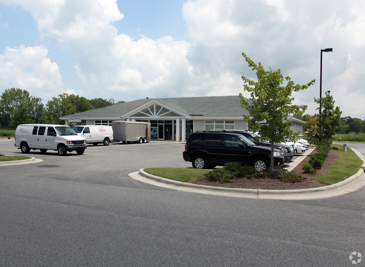
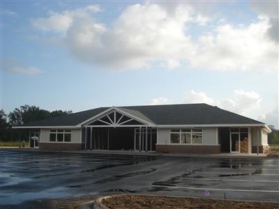
Property Record
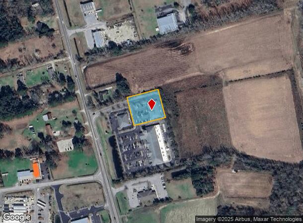
7864 Us Hwy 117 S, Rocky Point, NC 28457
NEARBY LISTINGS FOR SALE OR LEASE
-
-
View all Rocky Point listings for sale on LoopNet.com
Property Detail
7864 Us Hwy 117 S
3235-74-7654-0000
Rocky Medical Pavilion
Medicalbuilding
L2C PB 42/97 ROCKY POINT MED PAVILION SURVEY
X
Pender
3720322400J
North Carolina
2024
1.03 AC
2024
West Pender County
920601
Wilmington
6,296 SF
Wilmington, NC
DEMOGRAPHICS near 7864 Us Hwy 117 S
1 Mile
3 Mile
5 Mile
2024 Total Population
703
3,985
10,869
2029 Population
857
4,845
13,205
Pop Growth 2024-2029
+ 21.91%
+ 21.58%
+ 21.49%
Average Age
40
40
40
2024 Total Households
256
1,454
3,982
HH Growth 2024-2029
+ 22.27%
+ 21.73%
+ 21.70%
Median Household Inc
$36,428
$44,782
$53,740
Avg Household Size
2.70
2.70
2.70
2024 Avg HH Vehicles
2.00
2.00
2.00
Median Home Value
$186,065
$199,856
$213,431
Median Year Built
1993
1994
1996
Nearby Places
- Restaurants
- Banks
- Shops
- Fitness
- Groceries
PUBLIC TRANSPORTATION
AIRPORT
Wilmington International
DRIVE
WALK
Distance
Wilmington International
24 min
13.5 mi
Freight Ports
Port of Wilmington
DRIVE
WALK
Distance
Port of Wilmington
32 min
22.3 mi
Nearby Properties
Address
Land Use
TOTAL SIZE
Lot Size
Zoning
Address
Land Use
TOTAL SIZE
Lot Size
Zoning
110,024 SF
241.42 AC
SEEMAP
Address
Land Use
TOTAL SIZE
Lot Size
Zoning
7,312 SF
12.30 AC
RT
Address
Land Use
TOTAL SIZE
Lot Size
Zoning
1,120 SF
106.68 AC
SEEMAP
Address
Land Use
TOTAL SIZE
Lot Size
Zoning
1,324.37 AC
RA
Address
Land Use
TOTAL SIZE
Lot Size
Zoning
2,007.70 AC
SEEMAP
Address
Land Use
TOTAL SIZE
Lot Size
Zoning
775.28 AC
SEEMAP
Address
Land Use
TOTAL SIZE
Lot Size
Zoning
22,684 SF
3 AC
B2
Address
Land Use
TOTAL SIZE
Lot Size
Zoning
27,322 SF
3.80 AC
B2
Address
Land Use
TOTAL SIZE
Lot Size
Zoning
25,371 SF
55.80 AC
SEEMAP
Address
Land Use
TOTAL SIZE
Lot Size
Zoning
800 SF
20.22 AC
B2
Address
Land Use
TOTAL SIZE
Lot Size
Zoning
916.12 AC
SEEMAP
Address
Land Use
TOTAL SIZE
Lot Size
Zoning
8,422 SF
4.29 AC
B2
Address
Land Use
TOTAL SIZE
Lot Size
Zoning
19,076 SF
3.57 AC
GB
Address
Land Use
TOTAL SIZE
Lot Size
Zoning
1,080 AC
SEEMAP
Address
Land Use
TOTAL SIZE
Lot Size
Zoning
6,416 SF
3.81 AC
B2
Address
Land Use
TOTAL SIZE
Lot Size
Zoning
549.57 AC
SEEMAP
Address
Land Use
TOTAL SIZE
Lot Size
Zoning
15,209 SF
1.79 AC
B2
Address
Land Use
TOTAL SIZE
Lot Size
Zoning
1,032 SF
701.78 AC
SEEMAP
Address
Land Use
TOTAL SIZE
Lot Size
Zoning
610.38 AC
SEEMAP
Address
Land Use
TOTAL SIZE
Lot Size
Zoning
15,000 SF
3.85 AC
B2
Address
Land Use
TOTAL SIZE
Lot Size
Zoning
5,332 SF
2.79 AC
B2
Address
Land Use
TOTAL SIZE
Lot Size
Zoning
701.85 AC
SEEMAP
Address
Land Use
TOTAL SIZE
Lot Size
Zoning
25,275 SF
10.80 AC
GI
Address
Land Use
TOTAL SIZE
Lot Size
Zoning
Address
Land Use
TOTAL SIZE
Lot Size
Zoning
777.87 AC
Address
Land Use
TOTAL SIZE
Lot Size
Zoning
629 AC
SEEMAP
Address
Land Use
TOTAL SIZE
Lot Size
Zoning
7,215 SF
3.42 AC
B2
Address
Land Use
TOTAL SIZE
Lot Size
Zoning
20,000 SF
13.86 AC
IT
Address
Land Use
TOTAL SIZE
Lot Size
Zoning
657.10 AC
SEEMAP
The World's #1 Commercial Real Estate Marketplace
Connect with us
© 2025 CoStar Group
The information above has been obtained from sources believed reliable. While we do not doubt its accuracy we have not verified it and make no guarantee, warranty or representation about it. It is your responsibility to independently confirm its accuracy and completeness. Any projections, opinions, assumptions, or estimates used are for example only and do not represent the current or future performance of the property. The value of this transaction to you depends on tax and other factors which should be evaluated by your tax, financial, and legal advisors. You and your advisors should conduct a careful, independent investigation of the property to determine to your satisfaction the suitability of the property for your needs.