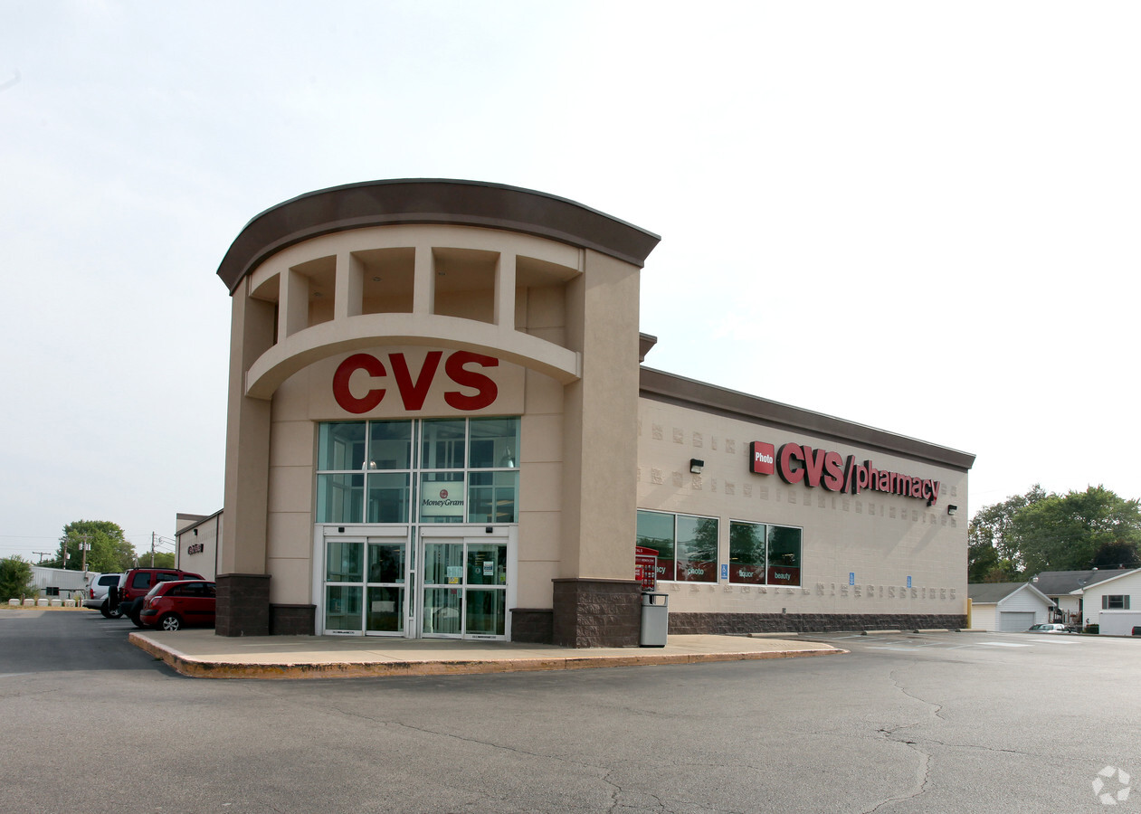
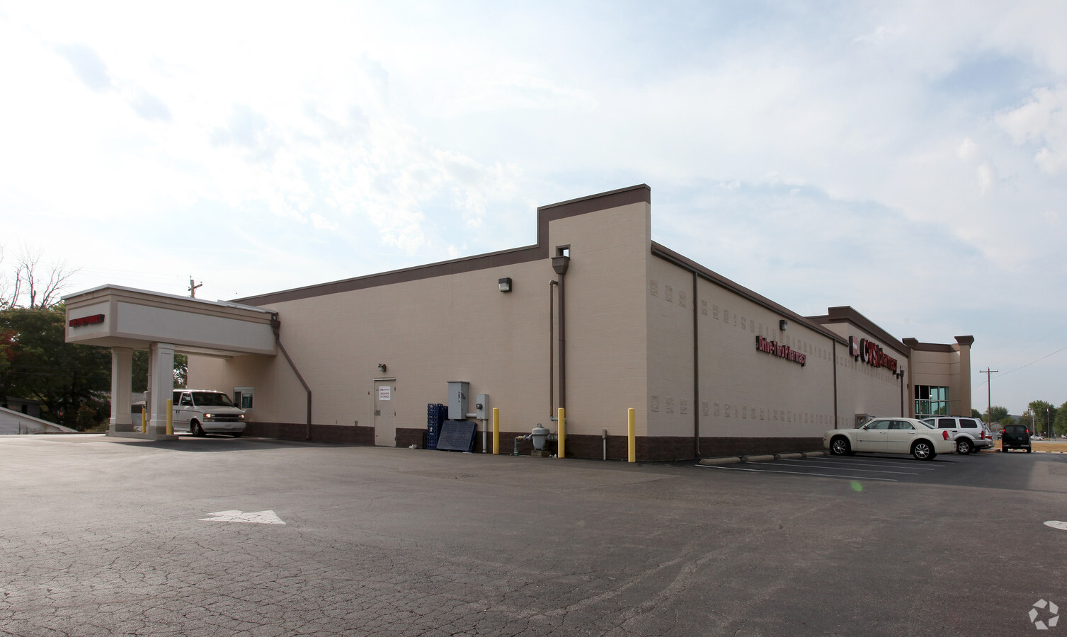
Property Record
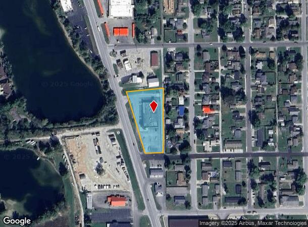
789 State Road 39 Byp S, Martinsville, IN 46151
NEARBY LISTINGS FOR SALE OR LEASE
Property Detail
789 State Road 39 Byp S
Indianapolis-Carmel-Anderson, IN
Davidson
55-13-04-170-005.000-021
PT OUTLOT 1 DAVIDSON SUBDIVISION .84 AC & LOTS 45-47 FRANK HACKER 2ND SUB (EXCEPT .009 AC STATE R/W)
Storebuilding
Morgan
AE
Indiana
18109C0266F
45-47
2023
1.49 AC
2024
Morgan County
510900
Indianapolis
12,119 SF
DEMOGRAPHICS near 789 State Road 39 Byp S
1 Mile
3 Mile
5 Mile
2024 Total Population
7,891
14,980
21,252
2029 Population
8,064
15,278
21,665
Pop Growth 2024-2029
+ 2.19%
+ 1.99%
+ 1.94%
Average Age
40
41
42
2024 Total Households
3,365
6,087
8,475
HH Growth 2024-2029
+ 2.20%
+ 2.00%
+ 1.94%
Median Household Inc
$44,324
$55,667
$62,117
Avg Household Size
2.20
2.40
2.40
2024 Avg HH Vehicles
2.00
2.00
2.00
Median Home Value
$110,533
$145,199
$176,900
Median Year Built
1955
1966
1972
Nearby Places
- Restaurants
- Banks
- Shops
- Fitness
- Groceries
PUBLIC TRANSPORTATION
AIRPORT
Indianapolis International
DRIVE
WALK
Distance
Indianapolis International
37 min
26.6 mi
Freight Ports
Virginia Port Authority - Richmond
DRIVE
WALK
Distance
Virginia Port Authority - Richmond
1 min
506.0 mi
SALE & LEASE HISTORY
LISTING DATE
SALE/LEASE

Sep 19, 2017
For Sale
Oct 03, 2016
For Sale
Jun 19, 2018
For Sale
Nearby Properties
Address
Land Use
TOTAL SIZE
Lot Size
Zoning
Address
Land Use
TOTAL SIZE
Lot Size
Zoning
165,182 SF
11.70 AC
Address
Land Use
TOTAL SIZE
Lot Size
Zoning
59,126 SF
6.78 AC
Address
Land Use
TOTAL SIZE
Lot Size
Zoning
35,704 SF
9.26 AC
Address
Land Use
TOTAL SIZE
Lot Size
Zoning
86,173 SF
7.59 AC
Address
Land Use
TOTAL SIZE
Lot Size
Zoning
203,634 SF
26.06 AC
Address
Land Use
TOTAL SIZE
Lot Size
Zoning
16,270 SF
7.10 AC
Address
Land Use
TOTAL SIZE
Lot Size
Zoning
44,380 SF
8 AC
Address
Land Use
TOTAL SIZE
Lot Size
Zoning
20,600 SF
13.83 AC
Address
Land Use
TOTAL SIZE
Lot Size
Zoning
41,364 SF
1.82 AC
Address
Land Use
TOTAL SIZE
Lot Size
Zoning
197,739 SF
16.55 AC
Address
Land Use
TOTAL SIZE
Lot Size
Zoning
Address
Land Use
TOTAL SIZE
Lot Size
Zoning
10,650 SF
5.70 AC
Address
Land Use
TOTAL SIZE
Lot Size
Zoning
14,476 SF
2.13 AC
Address
Land Use
TOTAL SIZE
Lot Size
Zoning
Address
Land Use
TOTAL SIZE
Lot Size
Zoning
30,060 SF
5.85 AC
Address
Land Use
TOTAL SIZE
Lot Size
Zoning
34,309 SF
3.39 AC
Address
Land Use
TOTAL SIZE
Lot Size
Zoning
11,272 SF
3.30 AC
Address
Land Use
TOTAL SIZE
Lot Size
Zoning
13,832 SF
5 AC
Address
Land Use
TOTAL SIZE
Lot Size
Zoning
25,004 SF
0.67 AC
Address
Land Use
TOTAL SIZE
Lot Size
Zoning
3,672 SF
8.10 AC
Address
Land Use
TOTAL SIZE
Lot Size
Zoning
Address
Land Use
TOTAL SIZE
Lot Size
Zoning
9,603 SF
1.83 AC
Address
Land Use
TOTAL SIZE
Lot Size
Zoning
17,545 SF
5.25 AC
Address
Land Use
TOTAL SIZE
Lot Size
Zoning
Address
Land Use
TOTAL SIZE
Lot Size
Zoning
23,483 SF
6.57 AC
Address
Land Use
TOTAL SIZE
Lot Size
Zoning
42,133 SF
1.10 AC
Address
Land Use
TOTAL SIZE
Lot Size
Zoning
12,237 SF
2.78 AC
Address
Land Use
TOTAL SIZE
Lot Size
Zoning
0.87 AC
Address
Land Use
TOTAL SIZE
Lot Size
Zoning
28,700 SF
2.94 AC
The World's #1 Commercial Real Estate Marketplace
Connect with us
© 2025 CoStar Group
The information above has been obtained from sources believed reliable. While we do not doubt its accuracy we have not verified it and make no guarantee, warranty or representation about it. It is your responsibility to independently confirm its accuracy and completeness. Any projections, opinions, assumptions, or estimates used are for example only and do not represent the current or future performance of the property. The value of this transaction to you depends on tax and other factors which should be evaluated by your tax, financial, and legal advisors. You and your advisors should conduct a careful, independent investigation of the property to determine to your satisfaction the suitability of the property for your needs.