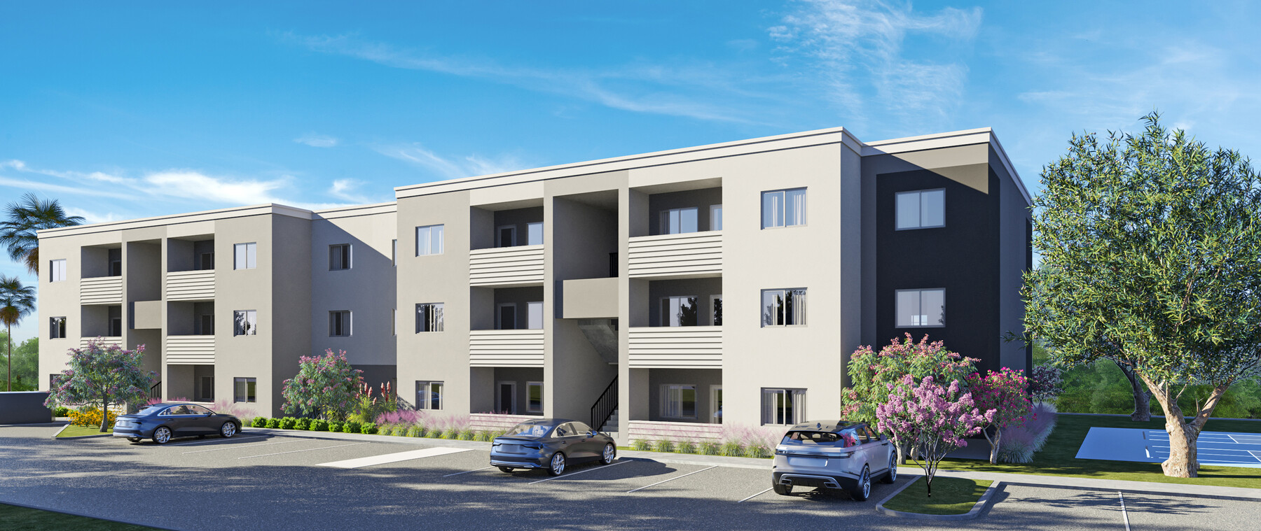
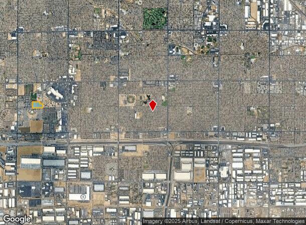
Property Record
8000 W Encanto Blvd, Phoenix, AZ 85035


NEARBY LISTINGS FOR SALE OR LEASE
-
-
-
-
-
-
-
-
-
NWC Of 77th And Indian School Rd @ W Indian School Rd
Phoenix, AZ 85033
$1,689,715
2.36 AC Lots
Land
-
-
-
View all Phoenix listings for sale on LoopNet.com
Property Detail
8000 W Encanto Blvd
102-38-003C
S2 SE4 NW4 SEC 35 EX E 33F & EX S 33F & EX TRI IN SE COR & EX ANY PT LY WI-IN P/F 87-023264 & ALSO EX ANY PT LY WI/IN P/F 98-0784599 & EX ANY POR LY WI/IN FOL DESC COM AT THE N4 COR SEC 35 TH S 1980.03F TH S 88D 04M W 42.20F POB TH S 22D 16M W 8.57F
Farms
Maricopa
X
Arizona
04013C2180L
14.08 AC
2024
Glendale
2025
Phoenix
112502
Phoenix-Mesa-Scottsdale, AZ
DEMOGRAPHICS near 8000 W Encanto Blvd
1 Mile
3 Mile
5 Mile
2024 Total Population
20,230
154,179
390,488
2029 Population
21,669
166,094
421,874
Pop Growth 2024-2029
+ 7.11%
+ 7.73%
+ 8.04%
Average Age
32
32
33
2024 Total Households
6,073
42,555
111,266
HH Growth 2024-2029
+ 7.11%
+ 7.81%
+ 8.25%
Median Household Inc
$57,858
$55,431
$60,116
Avg Household Size
3.30
3.50
3.40
2024 Avg HH Vehicles
2.00
2.00
2.00
Median Home Value
$233,644
$235,819
$261,445
Median Year Built
1992
1983
1988
Nearby Places
- Restaurants
- Banks
- Shops
- Fitness
- Groceries
PUBLIC TRANSPORTATION
AIRPORT
Phoenix Sky Harbor International
DRIVE
WALK
Distance
Phoenix Sky Harbor International
21 min
13.8 mi
Freight Ports
Port of San Diego
DRIVE
WALK
Distance
Port of San Diego
388 min
348.3 mi
Nearby Properties
Address
Land Use
TOTAL SIZE
Lot Size
Zoning
Address
Land Use
TOTAL SIZE
Lot Size
Zoning
1,539,348 SF
143.97 AC
A-1
Address
Land Use
TOTAL SIZE
Lot Size
Zoning
1,377,683 SF
72.08 AC
I-1
Address
Land Use
TOTAL SIZE
Lot Size
Zoning
1,267,497 SF
70.43 AC
A1
Address
Land Use
TOTAL SIZE
Lot Size
Zoning
1,205,743 SF
59.34 AC
I-1
Address
Land Use
TOTAL SIZE
Lot Size
Zoning
1,100,500 SF
57.61 AC
PUD
Address
Land Use
TOTAL SIZE
Lot Size
Zoning
1,063,188 SF
59.94 AC
Address
Land Use
TOTAL SIZE
Lot Size
Zoning
1,009,390 SF
44.22 AC
A1
Address
Land Use
TOTAL SIZE
Lot Size
Zoning
281,038 SF
7.71 AC
Address
Land Use
TOTAL SIZE
Lot Size
Zoning
348,753 SF
19.36 AC
R-6
Address
Land Use
TOTAL SIZE
Lot Size
Zoning
750,037 SF
49.40 AC
I1
Address
Land Use
TOTAL SIZE
Lot Size
Zoning
569,517 SF
35.28 AC
PUD
Address
Land Use
TOTAL SIZE
Lot Size
Zoning
659,834 SF
42.04 AC
R-6
Address
Land Use
TOTAL SIZE
Lot Size
Zoning
351,903 SF
29.12 AC
A1
Address
Land Use
TOTAL SIZE
Lot Size
Zoning
436,817 SF
23.21 AC
I-P
Address
Land Use
TOTAL SIZE
Lot Size
Zoning
580,382 SF
31.77 AC
PAD
Address
Land Use
TOTAL SIZE
Lot Size
Zoning
316,386 SF
45.04 AC
R16
Address
Land Use
TOTAL SIZE
Lot Size
Zoning
592,330 SF
36.89 AC
I-2
Address
Land Use
TOTAL SIZE
Lot Size
Zoning
350,874 SF
28.66 AC
C-C
Address
Land Use
TOTAL SIZE
Lot Size
Zoning
660,807 SF
31.44 AC
PAD-14
Address
Land Use
TOTAL SIZE
Lot Size
Zoning
554,011 SF
26.10 AC
I-P
Address
Land Use
TOTAL SIZE
Lot Size
Zoning
169,155 SF
32.84 AC
R-35
Address
Land Use
TOTAL SIZE
Lot Size
Zoning
532,713 SF
27.31 AC
Address
Land Use
TOTAL SIZE
Lot Size
Zoning
498,064 SF
12.92 AC
C-N
Address
Land Use
TOTAL SIZE
Lot Size
Zoning
874,407 SF
38.57 AC
I-P
Address
Land Use
TOTAL SIZE
Lot Size
Zoning
587,158 SF
36.22 AC
I-P
Address
Land Use
TOTAL SIZE
Lot Size
Zoning
456,484 SF
29.69 AC
I-1
Address
Land Use
TOTAL SIZE
Lot Size
Zoning
335,440 SF
21.67 AC
Address
Land Use
TOTAL SIZE
Lot Size
Zoning
543,745 SF
31.09 AC
I-1
Address
Land Use
TOTAL SIZE
Lot Size
Zoning
454,368 SF
23.36 AC
I-1
Address
Land Use
TOTAL SIZE
Lot Size
Zoning
74,208 SF
7.25 AC
I-P
The World's #1 Commercial Real Estate Marketplace
Connect with us
© 2025 CoStar Group
The information above has been obtained from sources believed reliable. While we do not doubt its accuracy we have not verified it and make no guarantee, warranty or representation about it. It is your responsibility to independently confirm its accuracy and completeness. Any projections, opinions, assumptions, or estimates used are for example only and do not represent the current or future performance of the property. The value of this transaction to you depends on tax and other factors which should be evaluated by your tax, financial, and legal advisors. You and your advisors should conduct a careful, independent investigation of the property to determine to your satisfaction the suitability of the property for your needs.