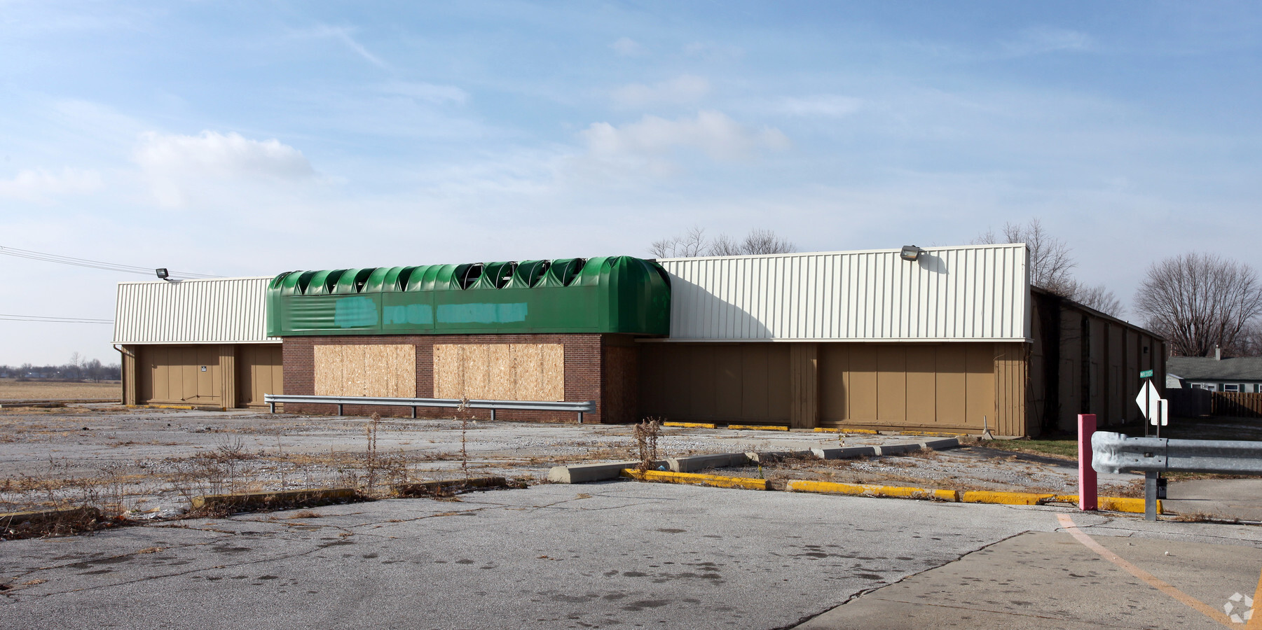
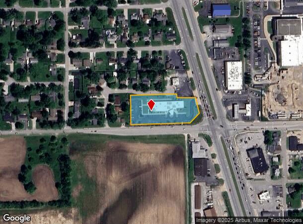
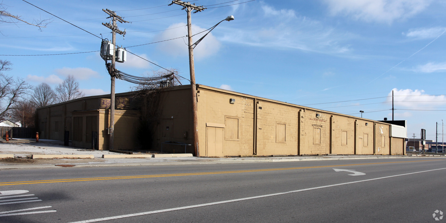
Property Record
8 N Us Highway 31, Whiteland, IN 46184
NEARBY LISTINGS FOR SALE OR LEASE
Property Detail
8 N Us Highway 31
41-05-21-043-004.000-028
W SE S21 T13 R4 & E SE S21 T13 R4
Medicalbuilding
Johnson
X
Indiana
18081C0137D
1.82 AC
0
Far South Johnson Cty
2024
Indianapolis
610502
Indianapolis-Carmel-Anderson, IN
11,000 SF
DEMOGRAPHICS near 8 N Us Highway 31
1 Mile
3 Mile
5 Mile
2024 Total Population
8,242
27,782
87,626
2029 Population
8,871
29,711
93,587
Pop Growth 2024-2029
+ 7.63%
+ 6.94%
+ 6.80%
Average Age
39
37
38
2024 Total Households
2,998
9,725
32,593
HH Growth 2024-2029
+ 7.74%
+ 7.11%
+ 6.98%
Median Household Inc
$74,420
$81,281
$77,541
Avg Household Size
2.70
2.80
2.60
2024 Avg HH Vehicles
2.00
2.00
2.00
Median Home Value
$153,430
$175,145
$210,362
Median Year Built
1988
1997
1996
Nearby Places
- Restaurants
- Banks
- Shops
- Fitness
- Groceries
PUBLIC TRANSPORTATION
AIRPORT
Indianapolis International
DRIVE
WALK
Distance
Indianapolis International
43 min
25.4 mi
Freight Ports
Port of Toledo
DRIVE
WALK
Distance
Port of Toledo
291 min
242.6 mi
Nearby Properties
Address
Land Use
TOTAL SIZE
Lot Size
Zoning
Address
Land Use
TOTAL SIZE
Lot Size
Zoning
1,103,760 SF
84.07 AC
Address
Land Use
TOTAL SIZE
Lot Size
Zoning
984,410 SF
73.31 AC
Address
Land Use
TOTAL SIZE
Lot Size
Zoning
1,057,350 SF
60.62 AC
Address
Land Use
TOTAL SIZE
Lot Size
Zoning
845,880 SF
45.31 AC
Address
Land Use
TOTAL SIZE
Lot Size
Zoning
997,650 SF
67.25 AC
Address
Land Use
TOTAL SIZE
Lot Size
Zoning
826,800 SF
62.89 AC
Address
Land Use
TOTAL SIZE
Lot Size
Zoning
588,200 SF
44.31 AC
Address
Land Use
TOTAL SIZE
Lot Size
Zoning
530,400 SF
29.63 AC
Address
Land Use
TOTAL SIZE
Lot Size
Zoning
232,709 SF
51.30 AC
Address
Land Use
TOTAL SIZE
Lot Size
Zoning
145,921 SF
8.52 AC
Address
Land Use
TOTAL SIZE
Lot Size
Zoning
56,100 SF
50.05 AC
Address
Land Use
TOTAL SIZE
Lot Size
Zoning
130,440 SF
10.05 AC
Address
Land Use
TOTAL SIZE
Lot Size
Zoning
114,852 SF
8.50 AC
Address
Land Use
TOTAL SIZE
Lot Size
Zoning
2,008 SF
9.86 AC
Address
Land Use
TOTAL SIZE
Lot Size
Zoning
58,711 SF
13.71 AC
Address
Land Use
TOTAL SIZE
Lot Size
Zoning
178,880 SF
9.03 AC
Address
Land Use
TOTAL SIZE
Lot Size
Zoning
136,760 SF
31.47 AC
Address
Land Use
TOTAL SIZE
Lot Size
Zoning
168,480 SF
8.42 AC
Address
Land Use
TOTAL SIZE
Lot Size
Zoning
290,449 SF
22.82 AC
Address
Land Use
TOTAL SIZE
Lot Size
Zoning
1,583 SF
9.35 AC
Address
Land Use
TOTAL SIZE
Lot Size
Zoning
88,000 SF
26.01 AC
Address
Land Use
TOTAL SIZE
Lot Size
Zoning
1,589 SF
8.11 AC
Address
Land Use
TOTAL SIZE
Lot Size
Zoning
88,925 SF
11.24 AC
Address
Land Use
TOTAL SIZE
Lot Size
Zoning
100,672 SF
25.32 AC
Address
Land Use
TOTAL SIZE
Lot Size
Zoning
160,700 SF
25.56 AC
Address
Land Use
TOTAL SIZE
Lot Size
Zoning
17,021 SF
30.20 AC
B2
Address
Land Use
TOTAL SIZE
Lot Size
Zoning
65,600 SF
8.22 AC
Address
Land Use
TOTAL SIZE
Lot Size
Zoning
68,423 SF
41.73 AC
Address
Land Use
TOTAL SIZE
Lot Size
Zoning
10,456 SF
9.29 AC
B2
Address
Land Use
TOTAL SIZE
Lot Size
Zoning
9,390 SF
3.05 AC
The World's #1 Commercial Real Estate Marketplace
Connect with us
© 2025 CoStar Group
The information above has been obtained from sources believed reliable. While we do not doubt its accuracy we have not verified it and make no guarantee, warranty or representation about it. It is your responsibility to independently confirm its accuracy and completeness. Any projections, opinions, assumptions, or estimates used are for example only and do not represent the current or future performance of the property. The value of this transaction to you depends on tax and other factors which should be evaluated by your tax, financial, and legal advisors. You and your advisors should conduct a careful, independent investigation of the property to determine to your satisfaction the suitability of the property for your needs.