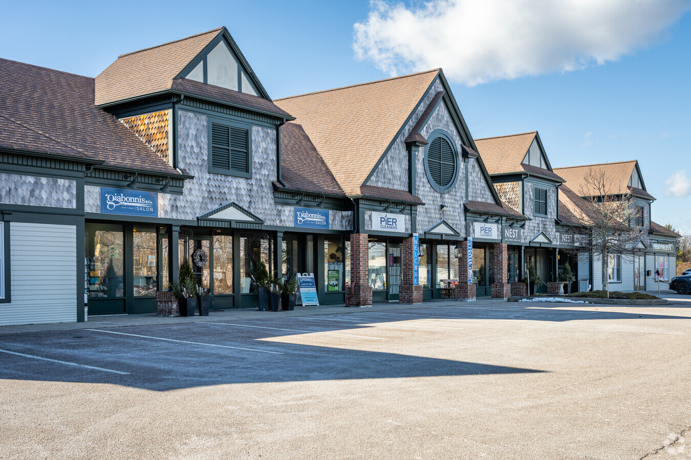
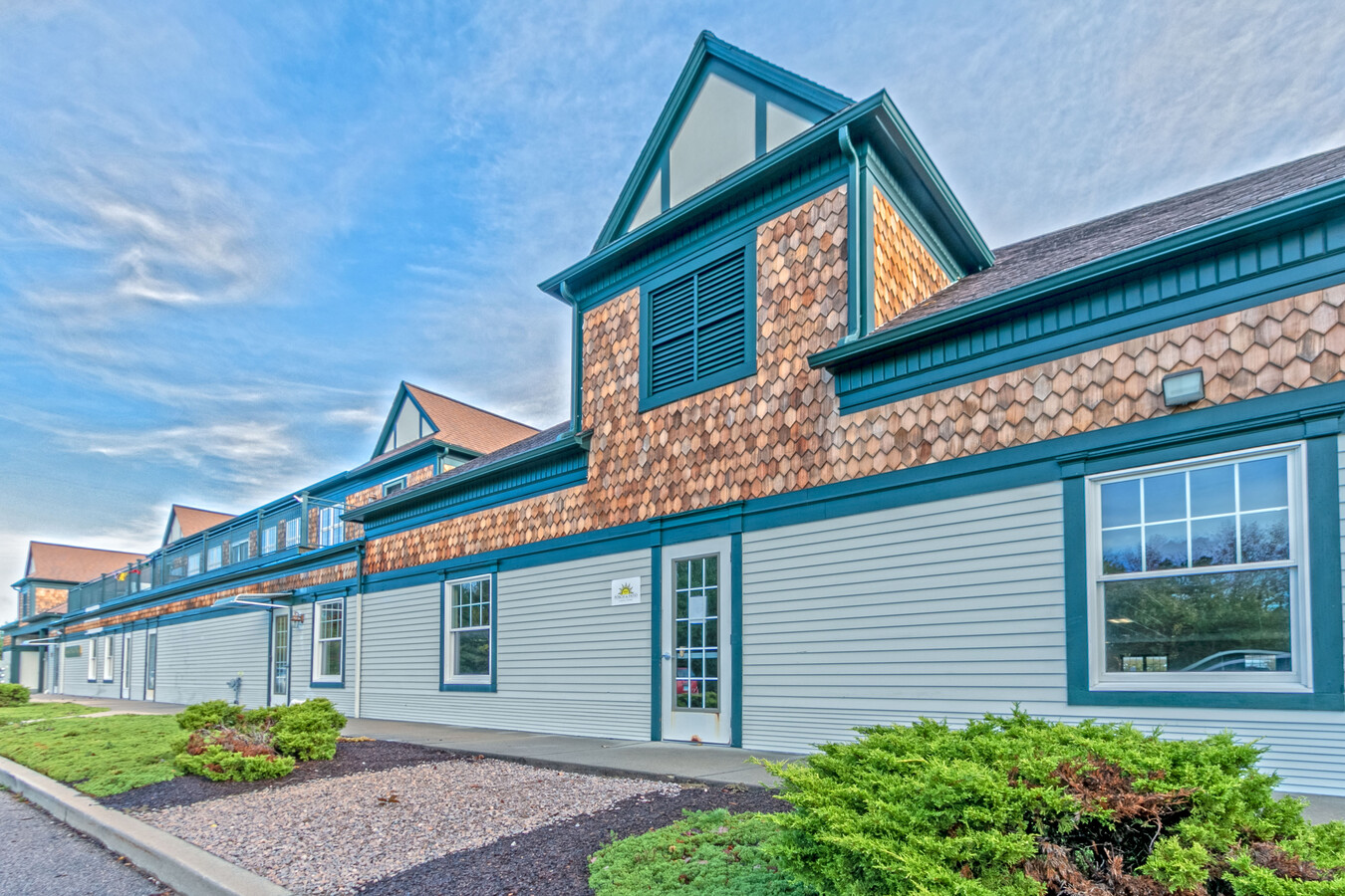
Property Record
80 Stonington Cmns, Stonington, CT 06378
NEARBY LISTINGS FOR SALE OR LEASE
Property Detail
80 Stonington Cmns
STON-000153-000003-000001
New London
Commercialbuilding
Connecticut
X
66
09011C0551J
3.26 AC
2024
SE New London
2024
Hartford
696500
Norwich-New London, CT
22,538 SF
DEMOGRAPHICS near 80 Stonington Cmns
1 Mile
3 Mile
5 Mile
2024 Total Population
2,214
16,342
27,773
2029 Population
2,262
16,562
28,102
Pop Growth 2024-2029
+ 2.17%
+ 1.35%
+ 1.18%
Average Age
50
50
48
2024 Total Households
1,027
7,312
12,215
HH Growth 2024-2029
+ 2.14%
+ 1.22%
+ 1.16%
Median Household Inc
$117,125
$111,593
$102,223
Avg Household Size
2.00
2.10
2.20
2024 Avg HH Vehicles
2.00
2.00
2.00
Median Home Value
$585,670
$439,214
$397,820
Median Year Built
1954
1962
1969
Nearby Places
- Restaurants
- Banks
- Shops
- Fitness
- Groceries
PUBLIC TRANSPORTATION
COMMUTER RAIL
Mystic Amtrak (Northeast Regional - Amtrak)
DRIVE
WALK
Distance
Mystic Amtrak (Northeast Regional - Amtrak)
1 min
16 min
0.8 mi
Westerly Amtrak Station (Northeast Regional - Amtrak)
DRIVE
WALK
Distance
Westerly Amtrak Station (Northeast Regional - Amtrak)
12 min
7.7 mi
Freight Ports
Port of Davisville, RI
DRIVE
WALK
Distance
Port of Davisville, RI
61 min
45.2 mi
SALE & LEASE HISTORY
LISTING DATE
SALE/LEASE

Oct 03, 2017
For Lease
Nov 07, 2019
For Sale
Mar 30, 2020
For Lease
Aug 08, 2024
For Sale
Nearby Properties
Address
Land Use
TOTAL SIZE
Lot Size
Zoning
Address
Land Use
TOTAL SIZE
Lot Size
Zoning
18.02 AC
RM-15
Address
Land Use
TOTAL SIZE
Lot Size
Zoning
32.59 AC
RA-40
Address
Land Use
TOTAL SIZE
Lot Size
Zoning
18.17 AC
TC-80
Address
Land Use
TOTAL SIZE
Lot Size
Zoning
138,366 SF
11.20 AC
GDD
Address
Land Use
TOTAL SIZE
Lot Size
Zoning
74,433 SF
47.37 AC
RS-20
Address
Land Use
TOTAL SIZE
Lot Size
Zoning
74,328 SF
19.50 AC
RR-80
Address
Land Use
TOTAL SIZE
Lot Size
Zoning
45,795 SF
5.60 AC
GDD
Address
Land Use
TOTAL SIZE
Lot Size
Zoning
39,667 SF
8.41 AC
RS-20
Address
Land Use
TOTAL SIZE
Lot Size
Zoning
120,243 SF
9.06 AC
TC-80
Address
Land Use
TOTAL SIZE
Lot Size
Zoning
40.80 AC
M-1
Address
Land Use
TOTAL SIZE
Lot Size
Zoning
7.35 AC
TC-80
Address
Land Use
TOTAL SIZE
Lot Size
Zoning
85,073 SF
17.60 AC
RA-20
Address
Land Use
TOTAL SIZE
Lot Size
Zoning
7.40 AC
M-1
Address
Land Use
TOTAL SIZE
Lot Size
Zoning
59,024 SF
3.24 AC
RS-12
Address
Land Use
TOTAL SIZE
Lot Size
Zoning
68,206 SF
6.40 AC
M-1
Address
Land Use
TOTAL SIZE
Lot Size
Zoning
55,089 SF
2.63 AC
GC-60
Address
Land Use
TOTAL SIZE
Lot Size
Zoning
46,652 SF
12.23 AC
RC-120
Address
Land Use
TOTAL SIZE
Lot Size
Zoning
14.50 AC
GC-60
Address
Land Use
TOTAL SIZE
Lot Size
Zoning
0.77 AC
DB-5
Address
Land Use
TOTAL SIZE
Lot Size
Zoning
74,984 SF
15.63 AC
M-1
Address
Land Use
TOTAL SIZE
Lot Size
Zoning
35,520 SF
1.61 AC
MDD
Address
Land Use
TOTAL SIZE
Lot Size
Zoning
5,200 SF
7.12 AC
R-20
Address
Land Use
TOTAL SIZE
Lot Size
Zoning
3,072 SF
4.79 AC
WC
Address
Land Use
TOTAL SIZE
Lot Size
Zoning
48.70 AC
GB-130
Address
Land Use
TOTAL SIZE
Lot Size
Zoning
7,500 SF
2.87 AC
MC-80
Address
Land Use
TOTAL SIZE
Lot Size
Zoning
4.88 AC
TC-80
Address
Land Use
TOTAL SIZE
Lot Size
Zoning
51,929 SF
77.39 AC
RU-80
Address
Land Use
TOTAL SIZE
Lot Size
Zoning
138,366 SF
5.81 AC
GDD
Address
Land Use
TOTAL SIZE
Lot Size
Zoning
11,858 SF
GB-130
Address
Land Use
TOTAL SIZE
Lot Size
Zoning
3.50 AC
RC-120
The World's #1 Commercial Real Estate Marketplace
Connect with us
© 2025 CoStar Group
The information above has been obtained from sources believed reliable. While we do not doubt its accuracy we have not verified it and make no guarantee, warranty or representation about it. It is your responsibility to independently confirm its accuracy and completeness. Any projections, opinions, assumptions, or estimates used are for example only and do not represent the current or future performance of the property. The value of this transaction to you depends on tax and other factors which should be evaluated by your tax, financial, and legal advisors. You and your advisors should conduct a careful, independent investigation of the property to determine to your satisfaction the suitability of the property for your needs.