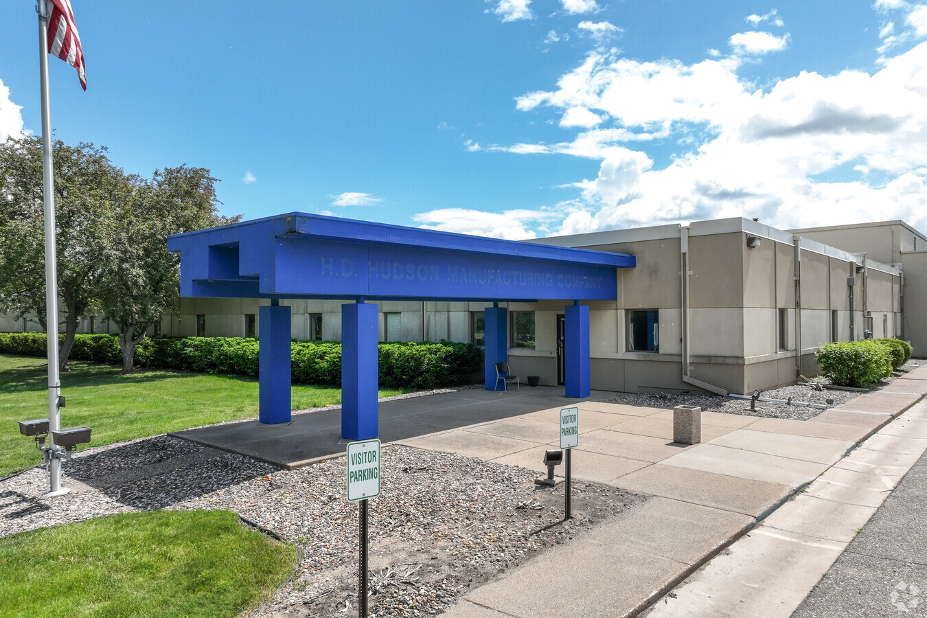
Property Record
800 10Th St E, Hastings, MN 55033

Current Lease Availabilities
NEARBY LISTINGS FOR SALE OR LEASE
Property Detail
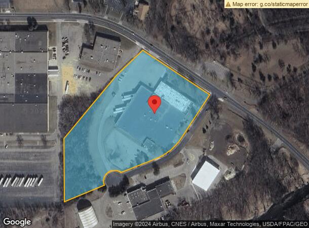
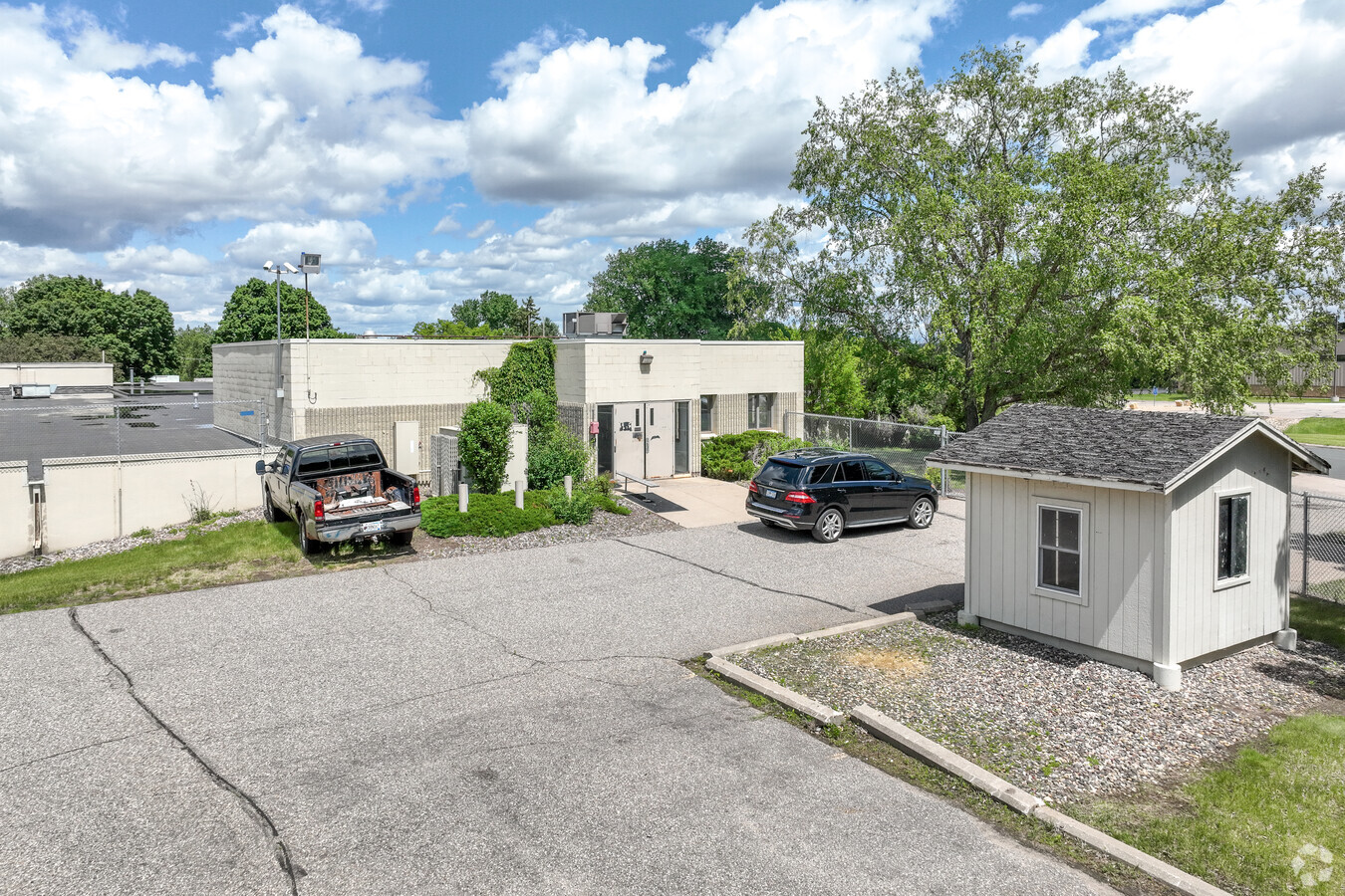
800 10Th St E
Minneapolis-St. Paul-Bloomington, MN-WI
Profile Addition
19-58800-01-010
PROFILE ADDITION 1 1
Industrialgeneral
Dakota
X
Minnesota
27037C0277E
10
2024
7.96 AC
2023
South Central
061109
Minneapolis/St Paul
98,580 SF
DEMOGRAPHICS near 800 10Th St E
1 Mile
3 Mile
5 Mile
2024 Total Population
3,968
27,027
31,559
2029 Population
4,056
27,677
32,402
Pop Growth 2024-2029
+ 2.22%
+ 2.41%
+ 2.67%
Average Age
40
42
42
2024 Total Households
1,683
11,053
12,714
HH Growth 2024-2029
+ 2.20%
+ 2.37%
+ 2.63%
Median Household Inc
$85,373
$84,201
$86,847
Avg Household Size
2.30
2.40
2.40
2024 Avg HH Vehicles
2.00
2.00
2.00
Median Home Value
$249,785
$280,419
$288,412
Median Year Built
1960
1983
1984
Nearby Places
- Restaurants
- Banks
- Shops
- Fitness
- Groceries
PUBLIC TRANSPORTATION
AIRPORT
Minneapolis-St Paul International/Wold-Chamberlain
DRIVE
WALK
Distance
Minneapolis-St Paul International/Wold-Chamberlain
35 min
25.8 mi
Freight Ports
Port Milwaukee
DRIVE
WALK
Distance
Port Milwaukee
370 min
333.0 mi
Nearby Properties
Address
Land Use
TOTAL SIZE
Lot Size
Zoning
Address
Land Use
TOTAL SIZE
Lot Size
Zoning
1,451,858 SF
38.56 AC
Address
Land Use
TOTAL SIZE
Lot Size
Zoning
115,394 SF
4.74 AC
Address
Land Use
TOTAL SIZE
Lot Size
Zoning
115,250 SF
1.84 AC
Address
Land Use
TOTAL SIZE
Lot Size
Zoning
135,563 SF
5.86 AC
Address
Land Use
TOTAL SIZE
Lot Size
Zoning
231,675 SF
92.69 AC
Address
Land Use
TOTAL SIZE
Lot Size
Zoning
231,725 SF
21.06 AC
Address
Land Use
TOTAL SIZE
Lot Size
Zoning
94,745 SF
8.91 AC
Address
Land Use
TOTAL SIZE
Lot Size
Zoning
101,769 SF
5.48 AC
Address
Land Use
TOTAL SIZE
Lot Size
Zoning
117,813 SF
5.49 AC
Address
Land Use
TOTAL SIZE
Lot Size
Zoning
84,868 SF
5.85 AC
Address
Land Use
TOTAL SIZE
Lot Size
Zoning
49,205 SF
5.54 AC
Address
Land Use
TOTAL SIZE
Lot Size
Zoning
86,132 SF
2.82 AC
Address
Land Use
TOTAL SIZE
Lot Size
Zoning
88,072 SF
18.46 AC
Address
Land Use
TOTAL SIZE
Lot Size
Zoning
49,091 SF
1.27 AC
Address
Land Use
TOTAL SIZE
Lot Size
Zoning
27,958 SF
5.04 AC
Address
Land Use
TOTAL SIZE
Lot Size
Zoning
4.69 AC
Address
Land Use
TOTAL SIZE
Lot Size
Zoning
3.79 AC
Address
Land Use
TOTAL SIZE
Lot Size
Zoning
58,296 SF
2.87 AC
Address
Land Use
TOTAL SIZE
Lot Size
Zoning
139,140 SF
3.98 AC
Address
Land Use
TOTAL SIZE
Lot Size
Zoning
74,700 SF
12.15 AC
Address
Land Use
TOTAL SIZE
Lot Size
Zoning
60,000 SF
9.82 AC
Address
Land Use
TOTAL SIZE
Lot Size
Zoning
187,654 SF
2.34 AC
Address
Land Use
TOTAL SIZE
Lot Size
Zoning
427,392 SF
54.06 AC
Address
Land Use
TOTAL SIZE
Lot Size
Zoning
983,000 SF
41.68 AC
Address
Land Use
TOTAL SIZE
Lot Size
Zoning
28,112 SF
146.03 AC
Address
Land Use
TOTAL SIZE
Lot Size
Zoning
43,696 SF
8.05 AC
Address
Land Use
TOTAL SIZE
Lot Size
Zoning
125,958 SF
11.06 AC
Address
Land Use
TOTAL SIZE
Lot Size
Zoning
47,963 SF
2.59 AC
Address
Land Use
TOTAL SIZE
Lot Size
Zoning
52,120 SF
3.90 AC
The World's #1 Commercial Real Estate Marketplace
Connect with us
© 2025 CoStar Group
The information above has been obtained from sources believed reliable. While we do not doubt its accuracy we have not verified it and make no guarantee, warranty or representation about it. It is your responsibility to independently confirm its accuracy and completeness. Any projections, opinions, assumptions, or estimates used are for example only and do not represent the current or future performance of the property. The value of this transaction to you depends on tax and other factors which should be evaluated by your tax, financial, and legal advisors. You and your advisors should conduct a careful, independent investigation of the property to determine to your satisfaction the suitability of the property for your needs.