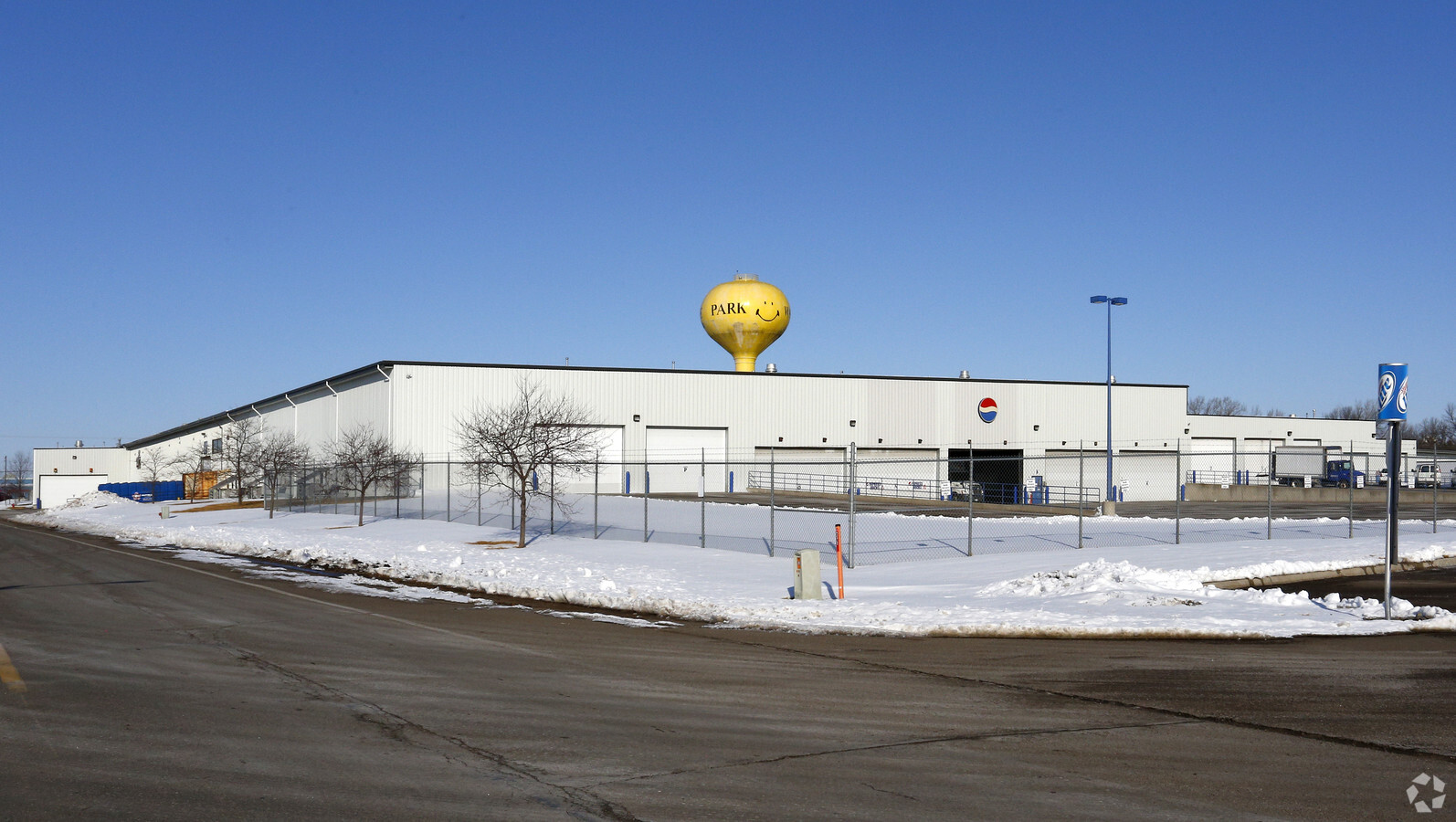
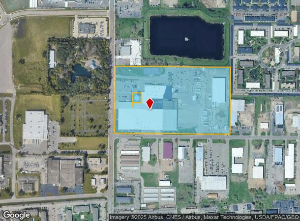
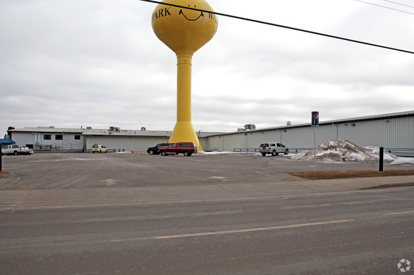
Property Record
801 Sundial Dr, Waite Park, MN 56387
NEARBY LISTINGS FOR SALE OR LEASE
Property Detail
801 Sundial Dr
St. Cloud, MN
Sundial Industrial Park
98.60825.0000
LOTS 1-2-5-6-7-8-9-10 & LOT 3 LESS E 5' & S 42' LOT 4 & E 5' OF N 108' OF LOT 4 BLK 1 SUNDIAL INDUSTRIAL PARK SECTION 17
Publicstorage
Stearns
X
Minnesota
27145C0640E
1-4
2024
21.87 AC
2024
Stearns County
000502
Minneapolis/St Paul
307,466 SF
DEMOGRAPHICS near 801 Sundial Dr
1 Mile
3 Mile
5 Mile
2024 Total Population
7,800
41,217
102,281
2029 Population
8,078
42,748
105,923
Pop Growth 2024-2029
+ 3.56%
+ 3.71%
+ 3.56%
Average Age
39
38
37
2024 Total Households
3,372
17,022
40,373
HH Growth 2024-2029
+ 3.59%
+ 3.80%
+ 3.65%
Median Household Inc
$45,434
$57,146
$54,914
Avg Household Size
2.20
2.30
2.30
2024 Avg HH Vehicles
2.00
2.00
2.00
Median Home Value
$216,667
$189,429
$191,101
Median Year Built
1991
1985
1984
Nearby Places
- Restaurants
- Banks
- Shops
- Fitness
- Groceries
PUBLIC TRANSPORTATION
COMMUTER RAIL
St. Cloud Amtrak Station (Empire Builder - Amtrak)
DRIVE
WALK
Distance
St. Cloud Amtrak Station (Empire Builder - Amtrak)
11 min
5.3 mi
Freight Ports
Port Milwaukee
DRIVE
WALK
Distance
Port Milwaukee
452 min
406.1 mi
Nearby Properties
Address
Land Use
TOTAL SIZE
Lot Size
Zoning
Address
Land Use
TOTAL SIZE
Lot Size
Zoning
38.98 AC
Address
Land Use
TOTAL SIZE
Lot Size
Zoning
113,316 SF
31.99 AC
Address
Land Use
TOTAL SIZE
Lot Size
Zoning
52,983 SF
22 AC
Address
Land Use
TOTAL SIZE
Lot Size
Zoning
70,971 SF
11.40 AC
PUD57
Address
Land Use
TOTAL SIZE
Lot Size
Zoning
125,278 SF
11.01 AC
C5
Address
Land Use
TOTAL SIZE
Lot Size
Zoning
115,298 SF
8.50 AC
R5
Address
Land Use
TOTAL SIZE
Lot Size
Zoning
233,354 SF
7.30 AC
R5
Address
Land Use
TOTAL SIZE
Lot Size
Zoning
113,268 SF
12 AC
PUD32
Address
Land Use
TOTAL SIZE
Lot Size
Zoning
5.34 AC
Address
Land Use
TOTAL SIZE
Lot Size
Zoning
146,285 SF
38.20 AC
Address
Land Use
TOTAL SIZE
Lot Size
Zoning
51.70 AC
PL20B2
Address
Land Use
TOTAL SIZE
Lot Size
Zoning
0.28 AC
I2
Address
Land Use
TOTAL SIZE
Lot Size
Zoning
83,317 SF
6.43 AC
C5
Address
Land Use
TOTAL SIZE
Lot Size
Zoning
44,223 SF
12.32 AC
Address
Land Use
TOTAL SIZE
Lot Size
Zoning
165,878 SF
11.16 AC
PUD56
Address
Land Use
TOTAL SIZE
Lot Size
Zoning
11,700 SF
143.98 AC
Address
Land Use
TOTAL SIZE
Lot Size
Zoning
7.70 AC
Address
Land Use
TOTAL SIZE
Lot Size
Zoning
32,074 SF
7.20 AC
PUD50
Address
Land Use
TOTAL SIZE
Lot Size
Zoning
9,448 SF
5.10 AC
Address
Land Use
TOTAL SIZE
Lot Size
Zoning
5.89 AC
Address
Land Use
TOTAL SIZE
Lot Size
Zoning
80,210 SF
4.54 AC
C5
Address
Land Use
TOTAL SIZE
Lot Size
Zoning
20,450 SF
1 AC
Address
Land Use
TOTAL SIZE
Lot Size
Zoning
90,427 SF
9.40 AC
Address
Land Use
TOTAL SIZE
Lot Size
Zoning
136,500 SF
6.02 AC
R5
Address
Land Use
TOTAL SIZE
Lot Size
Zoning
4.91 AC
Address
Land Use
TOTAL SIZE
Lot Size
Zoning
7.15 AC
Address
Land Use
TOTAL SIZE
Lot Size
Zoning
68,526 SF
19.60 AC
Address
Land Use
TOTAL SIZE
Lot Size
Zoning
4.74 AC
Address
Land Use
TOTAL SIZE
Lot Size
Zoning
121,968 SF
6.49 AC
PUD84
The World's #1 Commercial Real Estate Marketplace
Connect with us
© 2025 CoStar Group
The information above has been obtained from sources believed reliable. While we do not doubt its accuracy we have not verified it and make no guarantee, warranty or representation about it. It is your responsibility to independently confirm its accuracy and completeness. Any projections, opinions, assumptions, or estimates used are for example only and do not represent the current or future performance of the property. The value of this transaction to you depends on tax and other factors which should be evaluated by your tax, financial, and legal advisors. You and your advisors should conduct a careful, independent investigation of the property to determine to your satisfaction the suitability of the property for your needs.