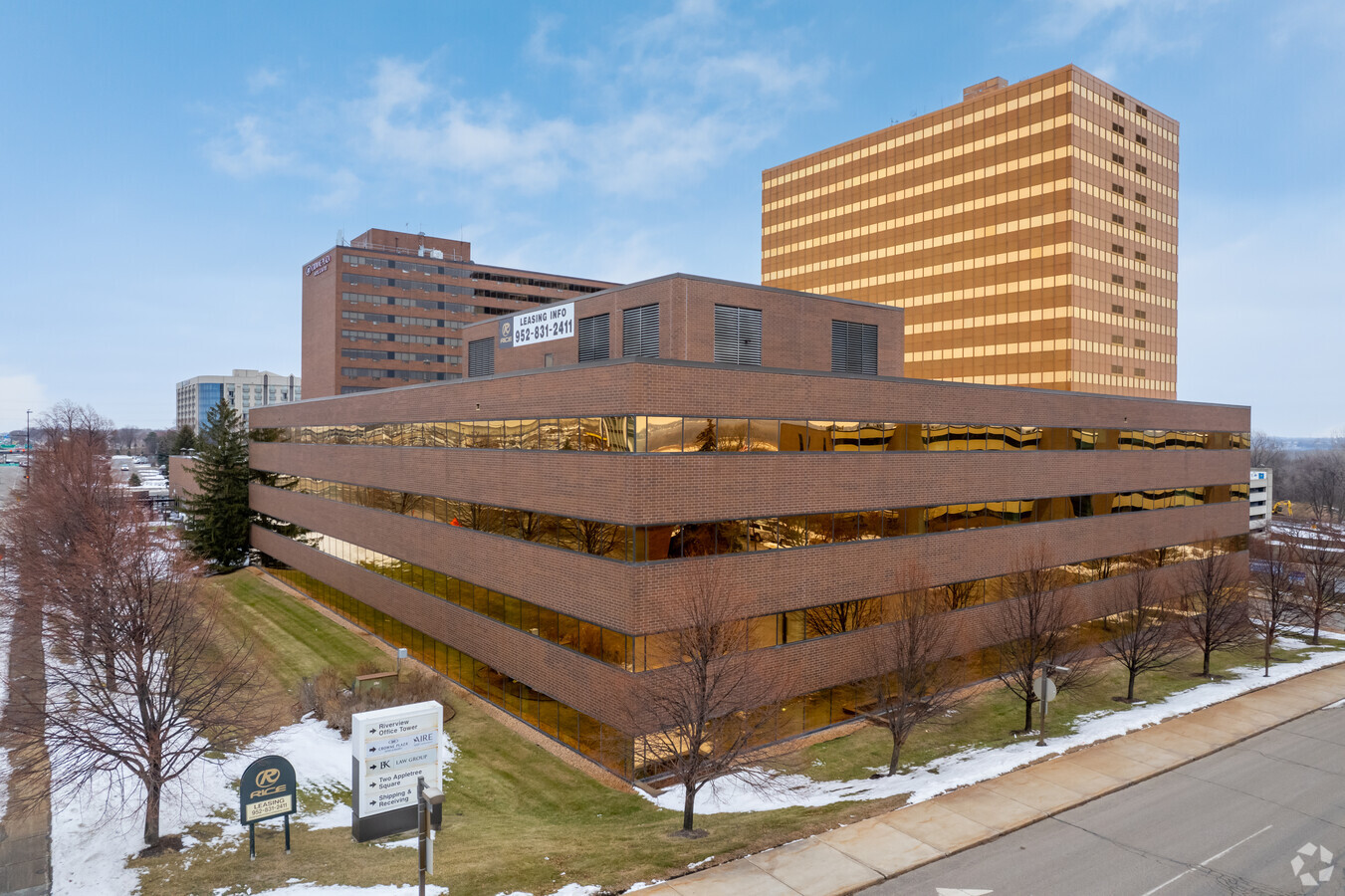
Property Record
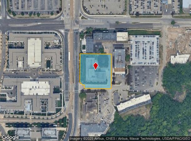
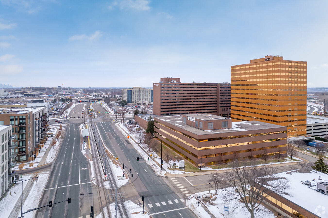
8011 34Th Ave S, Minneapolis, MN 55425
Current Lease Availabilities
NEARBY LISTINGS FOR SALE OR LEASE
Property Detail
8011 34Th Ave S
Minneapolis-St. Paul-Bloomington, MN-WI
Appletree Square 2Nd Addn
06-027-23-24-0011
LOT 006 BLOCK 001 B APPLETREE SQUARE 2ND ADDN EXCEPT LIGHT RAIL TRANSIT IRREGULAR
Commercialnec
Hennepin
X
Minnesota
27053C0476F
6
2024
1.91 AC
2023
I-494 Corridor
0251003009
Minneapolis/St Paul
23,122 SF
DEMOGRAPHICS near 8011 34Th Ave S
1 Mile
3 Mile
5 Mile
2024 Total Population
2,015
48,715
216,239
2029 Population
2,135
48,445
214,721
Pop Growth 2024-2029
+ 5.96%
(0.55%)
(0.70%)
Average Age
42
39
41
2024 Total Households
1,152
19,648
92,978
HH Growth 2024-2029
+ 5.99%
(0.38%)
(0.76%)
Median Household Inc
$96,221
$72,296
$82,188
Avg Household Size
1.70
2.40
2.20
2024 Avg HH Vehicles
1.00
2.00
2.00
Median Home Value
$289,439
$271,241
$317,698
Median Year Built
2010
1965
1966
Nearby Places
- Restaurants
- Banks
- Shops
- Fitness
- Groceries
PUBLIC TRANSPORTATION
TRANSIT/SUBWAY
American Boulevard (Hiawatha Line - Minneapolis-Saint Paul Metro Transit Light Rail)
DRIVE
WALK
Distance
American Boulevard (Hiawatha Line - Minneapolis-Saint Paul Metro Transit Light Rail)
1 min
2 min
0.1 mi
Bloomington Central Station (Hiawatha Line - Minneapolis-Saint Paul Metro Transit Light Rail)
DRIVE
WALK
Distance
Bloomington Central Station (Hiawatha Line - Minneapolis-Saint Paul Metro Transit Light Rail)
1 min
6 min
0.3 mi
28th Avenue Station (Hiawatha Line - Minneapolis-Saint Paul Metro Transit Light Rail)
DRIVE
WALK
Distance
28th Avenue Station (Hiawatha Line - Minneapolis-Saint Paul Metro Transit Light Rail)
3 min
13 min
0.7 mi
AIRPORT
Minneapolis–Saint Paul International
DRIVE
WALK
Distance
Minneapolis–Saint Paul International
4 min
1.7 mi
Freight Ports
Port of Shreveport
DRIVE
WALK
Distance
Port of Shreveport
1 min
864.1 mi
Nearby Properties
Address
Land Use
TOTAL SIZE
Lot Size
Zoning
Address
Land Use
TOTAL SIZE
Lot Size
Zoning
1,233,880 SF
63.49 AC
Address
Land Use
TOTAL SIZE
Lot Size
Zoning
1,341.19 AC
Address
Land Use
TOTAL SIZE
Lot Size
Zoning
4.26 AC
Address
Land Use
TOTAL SIZE
Lot Size
Zoning
3.86 AC
Address
Land Use
TOTAL SIZE
Lot Size
Zoning
78,800 SF
2.12 AC
Address
Land Use
TOTAL SIZE
Lot Size
Zoning
4.20 AC
Address
Land Use
TOTAL SIZE
Lot Size
Zoning
300,663 SF
4.81 AC
Address
Land Use
TOTAL SIZE
Lot Size
Zoning
98,676 SF
8.77 AC
Address
Land Use
TOTAL SIZE
Lot Size
Zoning
114,617 SF
17.68 AC
Address
Land Use
TOTAL SIZE
Lot Size
Zoning
33,246 SF
5.16 AC
Address
Land Use
TOTAL SIZE
Lot Size
Zoning
291,589 SF
6.77 AC
Address
Land Use
TOTAL SIZE
Lot Size
Zoning
192,843 SF
13.32 AC
Address
Land Use
TOTAL SIZE
Lot Size
Zoning
9,344 SF
61.71 AC
Address
Land Use
TOTAL SIZE
Lot Size
Zoning
4.20 AC
Address
Land Use
TOTAL SIZE
Lot Size
Zoning
Address
Land Use
TOTAL SIZE
Lot Size
Zoning
4.20 AC
Address
Land Use
TOTAL SIZE
Lot Size
Zoning
138,826 SF
23.39 AC
Address
Land Use
TOTAL SIZE
Lot Size
Zoning
14,568 SF
14.97 AC
Address
Land Use
TOTAL SIZE
Lot Size
Zoning
2.49 AC
Address
Land Use
TOTAL SIZE
Lot Size
Zoning
47,397 SF
6.78 AC
Address
Land Use
TOTAL SIZE
Lot Size
Zoning
Address
Land Use
TOTAL SIZE
Lot Size
Zoning
34,152 SF
6.11 AC
Address
Land Use
TOTAL SIZE
Lot Size
Zoning
45,360 SF
5.72 AC
Address
Land Use
TOTAL SIZE
Lot Size
Zoning
Address
Land Use
TOTAL SIZE
Lot Size
Zoning
27.48 AC
Address
Land Use
TOTAL SIZE
Lot Size
Zoning
4.29 AC
Address
Land Use
TOTAL SIZE
Lot Size
Zoning
Address
Land Use
TOTAL SIZE
Lot Size
Zoning
5.24 AC
Address
Land Use
TOTAL SIZE
Lot Size
Zoning
3.21 AC
Address
Land Use
TOTAL SIZE
Lot Size
Zoning
The World's #1 Commercial Real Estate Marketplace
Connect with us
© 2025 CoStar Group
The information above has been obtained from sources believed reliable. While we do not doubt its accuracy we have not verified it and make no guarantee, warranty or representation about it. It is your responsibility to independently confirm its accuracy and completeness. Any projections, opinions, assumptions, or estimates used are for example only and do not represent the current or future performance of the property. The value of this transaction to you depends on tax and other factors which should be evaluated by your tax, financial, and legal advisors. You and your advisors should conduct a careful, independent investigation of the property to determine to your satisfaction the suitability of the property for your needs.