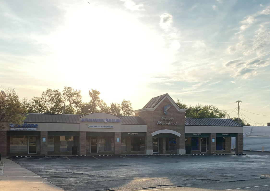
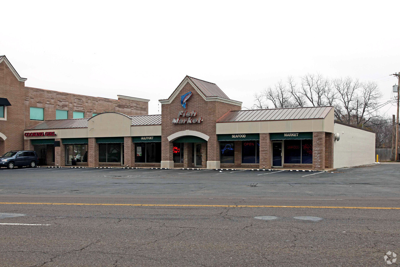
Property Record
8016 N May Ave, Oklahoma City, OK 73120
NEARBY LISTINGS FOR SALE OR LEASE
Property Detail
8016 N May Ave
Oklahoma City, OK
Nichols Hills Suburban Trs To Nichols Hi
087342580
NICHOLS HILLS SUBURBAN TR 106 011
Regionalshoppingcenterormallwithanchorstore
Oklahoma
X
Oklahoma
40109C0165H
11
2023
0.56 AC
2023
North
106403
Oklahoma City
8,000 SF
DEMOGRAPHICS near 8016 N May Ave
1 Mile
3 Mile
5 Mile
2024 Total Population
7,355
73,022
221,634
2029 Population
7,513
74,695
227,416
Pop Growth 2024-2029
+ 2.15%
+ 2.29%
+ 2.61%
Average Age
43
40
39
2024 Total Households
3,579
33,567
99,639
HH Growth 2024-2029
+ 2.21%
+ 2.33%
+ 2.74%
Median Household Inc
$71,267
$59,264
$53,774
Avg Household Size
2.00
2.10
2.10
2024 Avg HH Vehicles
2.00
2.00
2.00
Median Home Value
$283,931
$194,416
$184,620
Median Year Built
1960
1966
1971
Nearby Places
- Restaurants
- Banks
- Shops
- Fitness
- Groceries
PUBLIC TRANSPORTATION
COMMUTER RAIL
Oklahoma City (Heartland Flyer - Amtrak)
DRIVE
WALK
Distance
Oklahoma City (Heartland Flyer - Amtrak)
16 min
8.7 mi
AIRPORT
Will Rogers World
DRIVE
WALK
Distance
Will Rogers World
26 min
13.4 mi
Freight Ports
Tulsa Port Of Catoosa
DRIVE
WALK
Distance
Tulsa Port Of Catoosa
136 min
123.5 mi
SALE & LEASE HISTORY
LISTING DATE
SALE/LEASE

Aug 12, 2022
For Lease
Nearby Properties
Address
Land Use
TOTAL SIZE
Lot Size
Zoning
Address
Land Use
TOTAL SIZE
Lot Size
Zoning
819,976 SF
21.87 AC
Address
Land Use
TOTAL SIZE
Lot Size
Zoning
467,216 SF
66.90 AC
Address
Land Use
TOTAL SIZE
Lot Size
Zoning
312,308 SF
9.76 AC
C-3
Address
Land Use
TOTAL SIZE
Lot Size
Zoning
391,776 SF
10.12 AC
Address
Land Use
TOTAL SIZE
Lot Size
Zoning
294,583 SF
20.14 AC
Address
Land Use
TOTAL SIZE
Lot Size
Zoning
430,092 SF
52.05 AC
Address
Land Use
TOTAL SIZE
Lot Size
Zoning
202,147 SF
44.36 AC
Address
Land Use
TOTAL SIZE
Lot Size
Zoning
485,764 SF
6.05 AC
Address
Land Use
TOTAL SIZE
Lot Size
Zoning
452,123 SF
5.64 AC
O-2
Address
Land Use
TOTAL SIZE
Lot Size
Zoning
10,922 SF
1.04 AC
Address
Land Use
TOTAL SIZE
Lot Size
Zoning
258,381 SF
2.54 AC
PUD
Address
Land Use
TOTAL SIZE
Lot Size
Zoning
28,099 SF
1.21 AC
Address
Land Use
TOTAL SIZE
Lot Size
Zoning
254,126 SF
2.11 AC
SPUD
Address
Land Use
TOTAL SIZE
Lot Size
Zoning
49,950 SF
3.69 AC
Address
Land Use
TOTAL SIZE
Lot Size
Zoning
21,111 SF
2.57 AC
Address
Land Use
TOTAL SIZE
Lot Size
Zoning
347,288 SF
19 AC
Address
Land Use
TOTAL SIZE
Lot Size
Zoning
200,836 SF
10.78 AC
Address
Land Use
TOTAL SIZE
Lot Size
Zoning
34,734 SF
9.07 AC
Address
Land Use
TOTAL SIZE
Lot Size
Zoning
29,274 SF
0.93 AC
C-3
Address
Land Use
TOTAL SIZE
Lot Size
Zoning
681,708 SF
20.54 AC
Address
Land Use
TOTAL SIZE
Lot Size
Zoning
244,699 SF
35.50 AC
Address
Land Use
TOTAL SIZE
Lot Size
Zoning
436,316 SF
5.23 AC
I-1
Address
Land Use
TOTAL SIZE
Lot Size
Zoning
164,880 SF
8.95 AC
Address
Land Use
TOTAL SIZE
Lot Size
Zoning
285,771 SF
8.64 AC
Address
Land Use
TOTAL SIZE
Lot Size
Zoning
60,238 SF
4.93 AC
Address
Land Use
TOTAL SIZE
Lot Size
Zoning
1 SF
3.72 AC
Address
Land Use
TOTAL SIZE
Lot Size
Zoning
327,372 SF
14.79 AC
R-4
Address
Land Use
TOTAL SIZE
Lot Size
Zoning
167,057 SF
2.62 AC
PUD
Address
Land Use
TOTAL SIZE
Lot Size
Zoning
39,883 SF
2.35 AC
Address
Land Use
TOTAL SIZE
Lot Size
Zoning
14,720 SF
0.80 AC
The World's #1 Commercial Real Estate Marketplace
Connect with us
© 2025 CoStar Group
The information above has been obtained from sources believed reliable. While we do not doubt its accuracy we have not verified it and make no guarantee, warranty or representation about it. It is your responsibility to independently confirm its accuracy and completeness. Any projections, opinions, assumptions, or estimates used are for example only and do not represent the current or future performance of the property. The value of this transaction to you depends on tax and other factors which should be evaluated by your tax, financial, and legal advisors. You and your advisors should conduct a careful, independent investigation of the property to determine to your satisfaction the suitability of the property for your needs.