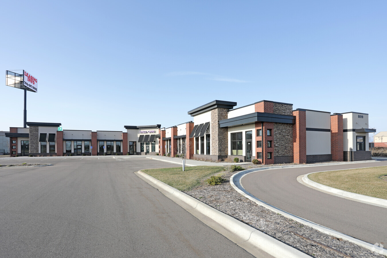
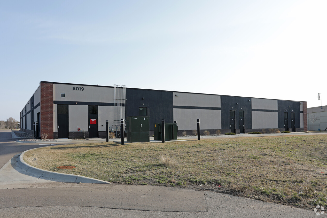
Property Record
8019 146Th Ave Nw, Anoka, MN 55303
NEARBY LISTINGS FOR SALE OR LEASE
-
-
View all Anoka listings for sale on LoopNet.com
Property Detail
8019 146Th Ave Nw
29-32-25-14-0021
West Armstrong Addition
Commercialnec
LOT 2 BLOCK 1 WEST ARMSTRONG ADDITION
X
Anoka
27053C0060F
Minnesota
2024
2
2024
Coon Rapids
050227
Minneapolis/St Paul
15,174 SF
Minneapolis-St. Paul-Bloomington, MN-WI
DEMOGRAPHICS near 8019 146Th Ave Nw
1 Mile
3 Mile
5 Mile
2024 Total Population
4,396
21,998
64,740
2029 Population
4,761
23,147
67,729
Pop Growth 2024-2029
+ 8.30%
+ 5.22%
+ 4.62%
Average Age
34
38
39
2024 Total Households
1,662
7,704
23,500
HH Growth 2024-2029
+ 8.30%
+ 5.24%
+ 4.68%
Median Household Inc
$80,909
$102,564
$102,818
Avg Household Size
2.60
2.80
2.70
2024 Avg HH Vehicles
2.00
2.00
2.00
Median Home Value
$254,116
$332,407
$335,752
Median Year Built
2010
1999
1995
Nearby Places
- Restaurants
- Banks
- Shops
- Fitness
- Groceries
PUBLIC TRANSPORTATION
COMMUTER RAIL
Ramsey Station & Platform (Northstar Commuter Rail - Metro Transit)
DRIVE
WALK
Distance
Ramsey Station & Platform (Northstar Commuter Rail - Metro Transit)
7 min
3.4 mi
Anoka Station (Northstar Corridor - Northstar Commuter Rail)
DRIVE
WALK
Distance
Anoka Station (Northstar Corridor - Northstar Commuter Rail)
8 min
3.7 mi
AIRPORT
Minneapolis-St Paul International/Wold-Chamberlain
DRIVE
WALK
Distance
Minneapolis-St Paul International/Wold-Chamberlain
52 min
36.0 mi
Freight Ports
Port Milwaukee
DRIVE
WALK
Distance
Port Milwaukee
397 min
358.2 mi
Nearby Properties
Address
Land Use
TOTAL SIZE
Lot Size
Zoning
Address
Land Use
TOTAL SIZE
Lot Size
Zoning
3,491 SF
3.03 AC
Address
Land Use
TOTAL SIZE
Lot Size
Zoning
2,400 SF
72.45 AC
Address
Land Use
TOTAL SIZE
Lot Size
Zoning
68,362 SF
Address
Land Use
TOTAL SIZE
Lot Size
Zoning
363,449 SF
82.99 AC
R-1
Address
Land Use
TOTAL SIZE
Lot Size
Zoning
153,964 SF
3.90 AC
Address
Land Use
TOTAL SIZE
Lot Size
Zoning
319,019 SF
17.14 AC
Address
Land Use
TOTAL SIZE
Lot Size
Zoning
140,288 SF
5.12 AC
Address
Land Use
TOTAL SIZE
Lot Size
Zoning
2,011 SF
34 AC
Address
Land Use
TOTAL SIZE
Lot Size
Zoning
343,297 SF
25.42 AC
M-1
Address
Land Use
TOTAL SIZE
Lot Size
Zoning
300,547 SF
19.21 AC
Address
Land Use
TOTAL SIZE
Lot Size
Zoning
382,508 SF
Address
Land Use
TOTAL SIZE
Lot Size
Zoning
298,148 SF
17.70 AC
M-1
Address
Land Use
TOTAL SIZE
Lot Size
Zoning
114,281 SF
3.19 AC
PRD-4
Address
Land Use
TOTAL SIZE
Lot Size
Zoning
118,208 SF
Address
Land Use
TOTAL SIZE
Lot Size
Zoning
319,664 SF
19.62 AC
M-1
Address
Land Use
TOTAL SIZE
Lot Size
Zoning
436,117 SF
17.75 AC
M-1
Address
Land Use
TOTAL SIZE
Lot Size
Zoning
190,285 SF
12.98 AC
Address
Land Use
TOTAL SIZE
Lot Size
Zoning
86,095 SF
19.89 AC
Address
Land Use
TOTAL SIZE
Lot Size
Zoning
100 SF
5.42 AC
R-2
Address
Land Use
TOTAL SIZE
Lot Size
Zoning
98,933 SF
9.61 AC
R-2
Address
Land Use
TOTAL SIZE
Lot Size
Zoning
201,859 SF
9.21 AC
Address
Land Use
TOTAL SIZE
Lot Size
Zoning
111,300 SF
Address
Land Use
TOTAL SIZE
Lot Size
Zoning
60,588 SF
4.56 AC
Address
Land Use
TOTAL SIZE
Lot Size
Zoning
98,770 SF
5.48 AC
R-2
Address
Land Use
TOTAL SIZE
Lot Size
Zoning
83,357 SF
5.35 AC
Address
Land Use
TOTAL SIZE
Lot Size
Zoning
172,332 SF
Address
Land Use
TOTAL SIZE
Lot Size
Zoning
75,262 SF
6.54 AC
Address
Land Use
TOTAL SIZE
Lot Size
Zoning
97,017 SF
2.50 AC
B-1
Address
Land Use
TOTAL SIZE
Lot Size
Zoning
84,201 SF
1.87 AC
Address
Land Use
TOTAL SIZE
Lot Size
Zoning
151,524 SF
18.10 AC
The World's #1 Commercial Real Estate Marketplace
Connect with us
© 2025 CoStar Group
The information above has been obtained from sources believed reliable. While we do not doubt its accuracy we have not verified it and make no guarantee, warranty or representation about it. It is your responsibility to independently confirm its accuracy and completeness. Any projections, opinions, assumptions, or estimates used are for example only and do not represent the current or future performance of the property. The value of this transaction to you depends on tax and other factors which should be evaluated by your tax, financial, and legal advisors. You and your advisors should conduct a careful, independent investigation of the property to determine to your satisfaction the suitability of the property for your needs.