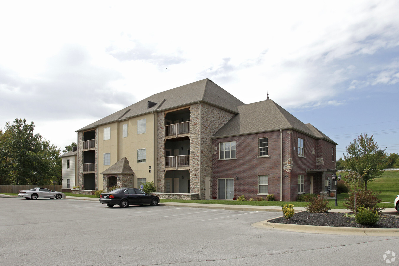
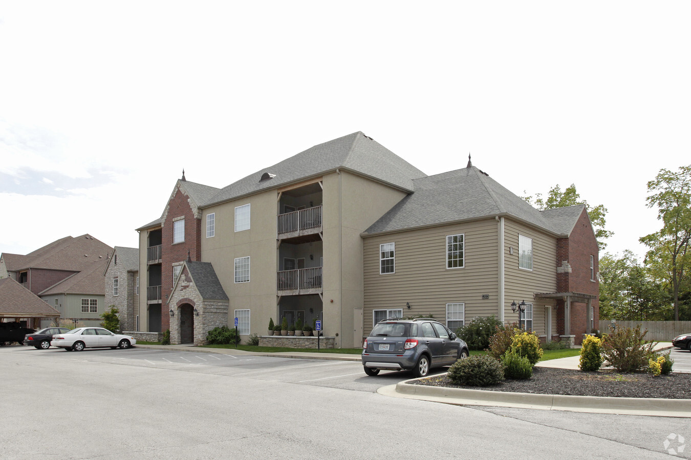
Property Record
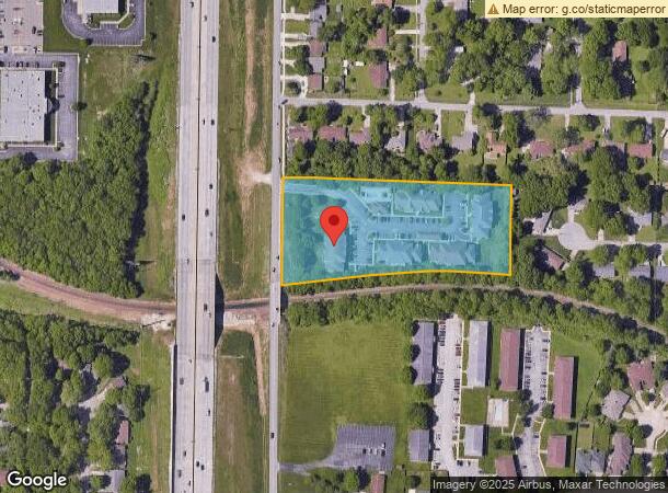
802 S Eastgate Ave, Springfield, MO 65809
NEARBY LISTINGS FOR SALE OR LEASE
Property Detail
802 S Eastgate Ave
12-22-301-090
White Oak Subdivision
Apartment
3 1/2A NW1/4 SW1/4 SW1/4 CONT 3 1/2A N OF RR 22/29/21
X
Greene
29077C0353E
Missouri
2024
3.50 AC
2024
Outlying Greene County
003701
Springfield
73,543 SF
Springfield, MO
DEMOGRAPHICS near 802 S Eastgate Ave
1 Mile
3 Mile
5 Mile
2024 Total Population
6,707
45,817
124,872
2029 Population
7,008
47,492
129,729
Pop Growth 2024-2029
+ 4.49%
+ 3.66%
+ 3.89%
Average Age
42
40
38
2024 Total Households
2,945
20,542
55,549
HH Growth 2024-2029
+ 4.65%
+ 3.83%
+ 4.13%
Median Household Inc
$58,151
$55,565
$46,176
Avg Household Size
2.20
2.10
2.10
2024 Avg HH Vehicles
2.00
2.00
2.00
Median Home Value
$189,164
$218,766
$177,003
Median Year Built
1978
1974
1974
Nearby Places
- Restaurants
- Banks
- Shops
- Fitness
- Groceries
PUBLIC TRANSPORTATION
AIRPORT
Springfield-Branson Ntl
DRIVE
WALK
Distance
Springfield-Branson Ntl
27 min
17.0 mi
Freight Ports
Tulsa Port of Inola
DRIVE
WALK
Distance
Tulsa Port of Inola
201 min
179.4 mi
Nearby Properties
Address
Land Use
TOTAL SIZE
Lot Size
Zoning
Address
Land Use
TOTAL SIZE
Lot Size
Zoning
35.56 AC
INC
Address
Land Use
TOTAL SIZE
Lot Size
Zoning
343,758 SF
29.81 AC
INC
Address
Land Use
TOTAL SIZE
Lot Size
Zoning
162,468 SF
35.77 AC
INC
Address
Land Use
TOTAL SIZE
Lot Size
Zoning
18.35 AC
Address
Land Use
TOTAL SIZE
Lot Size
Zoning
224,730 SF
19.99 AC
INC
Address
Land Use
TOTAL SIZE
Lot Size
Zoning
10.29 AC
INC.
Address
Land Use
TOTAL SIZE
Lot Size
Zoning
24.54 AC
INC.
Address
Land Use
TOTAL SIZE
Lot Size
Zoning
13.88 AC
INC
Address
Land Use
TOTAL SIZE
Lot Size
Zoning
108,153 SF
7.37 AC
INC.
Address
Land Use
TOTAL SIZE
Lot Size
Zoning
805,370 SF
54.30 AC
INC
Address
Land Use
TOTAL SIZE
Lot Size
Zoning
4.63 AC
O-2
Address
Land Use
TOTAL SIZE
Lot Size
Zoning
779,221 SF
45.03 AC
INC
Address
Land Use
TOTAL SIZE
Lot Size
Zoning
17.07 AC
INC.
Address
Land Use
TOTAL SIZE
Lot Size
Zoning
25.51 AC
INC
Address
Land Use
TOTAL SIZE
Lot Size
Zoning
324,341 SF
43 AC
INC
Address
Land Use
TOTAL SIZE
Lot Size
Zoning
2 AC
INC.
Address
Land Use
TOTAL SIZE
Lot Size
Zoning
26,240 SF
2.39 AC
INC.
Address
Land Use
TOTAL SIZE
Lot Size
Zoning
2.69 AC
INC
Address
Land Use
TOTAL SIZE
Lot Size
Zoning
79,586 SF
2.42 AC
INC
Address
Land Use
TOTAL SIZE
Lot Size
Zoning
323,771 SF
31.48 AC
INC
Address
Land Use
TOTAL SIZE
Lot Size
Zoning
66,686 SF
1.91 AC
INC
Address
Land Use
TOTAL SIZE
Lot Size
Zoning
16.73 AC
Address
Land Use
TOTAL SIZE
Lot Size
Zoning
2.96 AC
INC.
Address
Land Use
TOTAL SIZE
Lot Size
Zoning
91,885 SF
13.29 AC
INC
Address
Land Use
TOTAL SIZE
Lot Size
Zoning
29.68 AC
INC
Address
Land Use
TOTAL SIZE
Lot Size
Zoning
7.66 AC
INC
Address
Land Use
TOTAL SIZE
Lot Size
Zoning
129,662 SF
4.49 AC
INC.
Address
Land Use
TOTAL SIZE
Lot Size
Zoning
176,874 SF
40.18 AC
INC
Address
Land Use
TOTAL SIZE
Lot Size
Zoning
216,003 SF
11.25 AC
INC
Address
Land Use
TOTAL SIZE
Lot Size
Zoning
1.44 AC
INC
The World's #1 Commercial Real Estate Marketplace
Connect with us
© 2025 CoStar Group
The information above has been obtained from sources believed reliable. While we do not doubt its accuracy we have not verified it and make no guarantee, warranty or representation about it. It is your responsibility to independently confirm its accuracy and completeness. Any projections, opinions, assumptions, or estimates used are for example only and do not represent the current or future performance of the property. The value of this transaction to you depends on tax and other factors which should be evaluated by your tax, financial, and legal advisors. You and your advisors should conduct a careful, independent investigation of the property to determine to your satisfaction the suitability of the property for your needs.