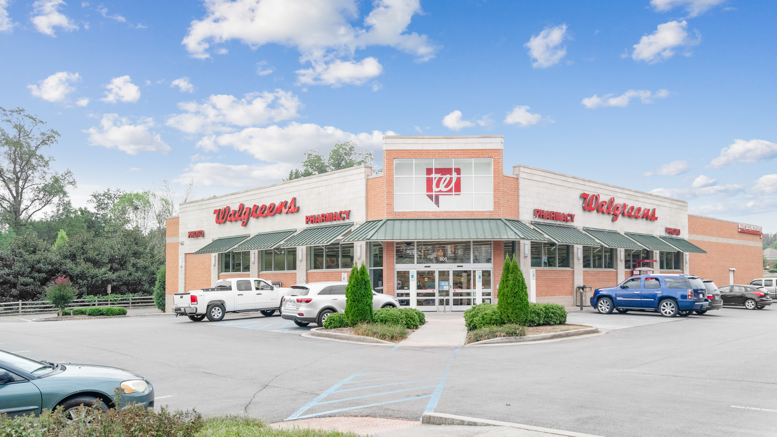
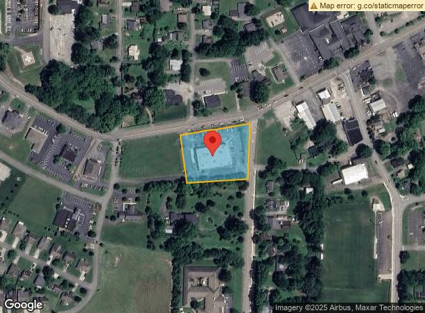
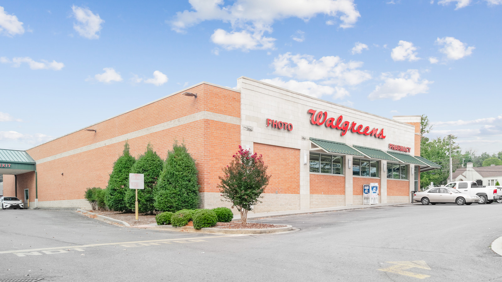
Property Record
805 W Madison Ave, Athens, TN 37303

NEARBY LISTINGS FOR SALE OR LEASE
Property Detail
805 W Madison Ave
065C-C-001.00
DISTRICT: 05 05 063A H 063A 01000 000 WALGREENS, COUNTY AREA: D01
Departmentstore
Mcminn
X
Tennessee
47107C0203D
1
2024
1.64 AC
2024
Tennessee East Area
970402
Other Market Areas
14,764 SF
Athens, TN
DEMOGRAPHICS near 805 W Madison Ave
1 Mile
3 Mile
5 Mile
2024 Total Population
5,462
17,583
24,504
2029 Population
5,864
18,830
26,183
Pop Growth 2024-2029
+ 7.36%
+ 7.09%
+ 6.85%
Average Age
41
40
41
2024 Total Households
2,214
7,148
9,878
HH Growth 2024-2029
+ 7.54%
+ 7.20%
+ 6.94%
Median Household Inc
$45,974
$42,307
$45,782
Avg Household Size
2.30
2.30
2.40
2024 Avg HH Vehicles
2.00
2.00
2.00
Median Home Value
$191,326
$166,730
$171,873
Median Year Built
1980
1978
1981
Nearby Places
- Restaurants
- Banks
- Shops
- Fitness
- Groceries
SALE & LEASE HISTORY
LISTING DATE
SALE/LEASE

Oct 08, 2019
For Sale
May 05, 2021
For Sale
Nearby Properties
Address
Land Use
TOTAL SIZE
Lot Size
Zoning
Address
Land Use
TOTAL SIZE
Lot Size
Zoning
92,432 SF
6.45 AC
Address
Land Use
TOTAL SIZE
Lot Size
Zoning
45,133 SF
34.30 AC
B2
Address
Land Use
TOTAL SIZE
Lot Size
Zoning
219,520 SF
32.63 AC
Address
Land Use
TOTAL SIZE
Lot Size
Zoning
188,415 SF
34.76 AC
Address
Land Use
TOTAL SIZE
Lot Size
Zoning
308,104 SF
56.66 AC
Address
Land Use
TOTAL SIZE
Lot Size
Zoning
7,440 SF
10.23 AC
Address
Land Use
TOTAL SIZE
Lot Size
Zoning
149,960 SF
29.34 AC
Address
Land Use
TOTAL SIZE
Lot Size
Zoning
7,400 SF
12.90 AC
Address
Land Use
TOTAL SIZE
Lot Size
Zoning
55,992 SF
10.63 AC
Address
Land Use
TOTAL SIZE
Lot Size
Zoning
248,237 SF
31.37 AC
Address
Land Use
TOTAL SIZE
Lot Size
Zoning
143,130 SF
9.77 AC
Address
Land Use
TOTAL SIZE
Lot Size
Zoning
58,499 SF
9.55 AC
B2
Address
Land Use
TOTAL SIZE
Lot Size
Zoning
237,234 SF
11.50 AC
I2
Address
Land Use
TOTAL SIZE
Lot Size
Zoning
63,056 SF
1.70 AC
Address
Land Use
TOTAL SIZE
Lot Size
Zoning
29,863 SF
3.41 AC
Address
Land Use
TOTAL SIZE
Lot Size
Zoning
92,092 SF
15.77 AC
Address
Land Use
TOTAL SIZE
Lot Size
Zoning
4,528 SF
9.91 AC
Address
Land Use
TOTAL SIZE
Lot Size
Zoning
45.16 AC
R2
Address
Land Use
TOTAL SIZE
Lot Size
Zoning
106,212 SF
10.48 AC
Address
Land Use
TOTAL SIZE
Lot Size
Zoning
41,114 SF
1.55 AC
B4
Address
Land Use
TOTAL SIZE
Lot Size
Zoning
41,702 SF
4.96 AC
Address
Land Use
TOTAL SIZE
Lot Size
Zoning
23,220 SF
Address
Land Use
TOTAL SIZE
Lot Size
Zoning
19,446 SF
5.10 AC
Address
Land Use
TOTAL SIZE
Lot Size
Zoning
33,854 SF
2.40 AC
Address
Land Use
TOTAL SIZE
Lot Size
Zoning
34,788 SF
1.24 AC
Address
Land Use
TOTAL SIZE
Lot Size
Zoning
63,886 SF
5.31 AC
B2
Address
Land Use
TOTAL SIZE
Lot Size
Zoning
58,255 SF
2.56 AC
Address
Land Use
TOTAL SIZE
Lot Size
Zoning
14,505 SF
4.50 AC
R2
Address
Land Use
TOTAL SIZE
Lot Size
Zoning
17,194 SF
1.74 AC
M1
Address
Land Use
TOTAL SIZE
Lot Size
Zoning
29,750 SF
6.09 AC
B2
The World's #1 Commercial Real Estate Marketplace
Connect with us
© 2025 CoStar Group
The information above has been obtained from sources believed reliable. While we do not doubt its accuracy we have not verified it and make no guarantee, warranty or representation about it. It is your responsibility to independently confirm its accuracy and completeness. Any projections, opinions, assumptions, or estimates used are for example only and do not represent the current or future performance of the property. The value of this transaction to you depends on tax and other factors which should be evaluated by your tax, financial, and legal advisors. You and your advisors should conduct a careful, independent investigation of the property to determine to your satisfaction the suitability of the property for your needs.