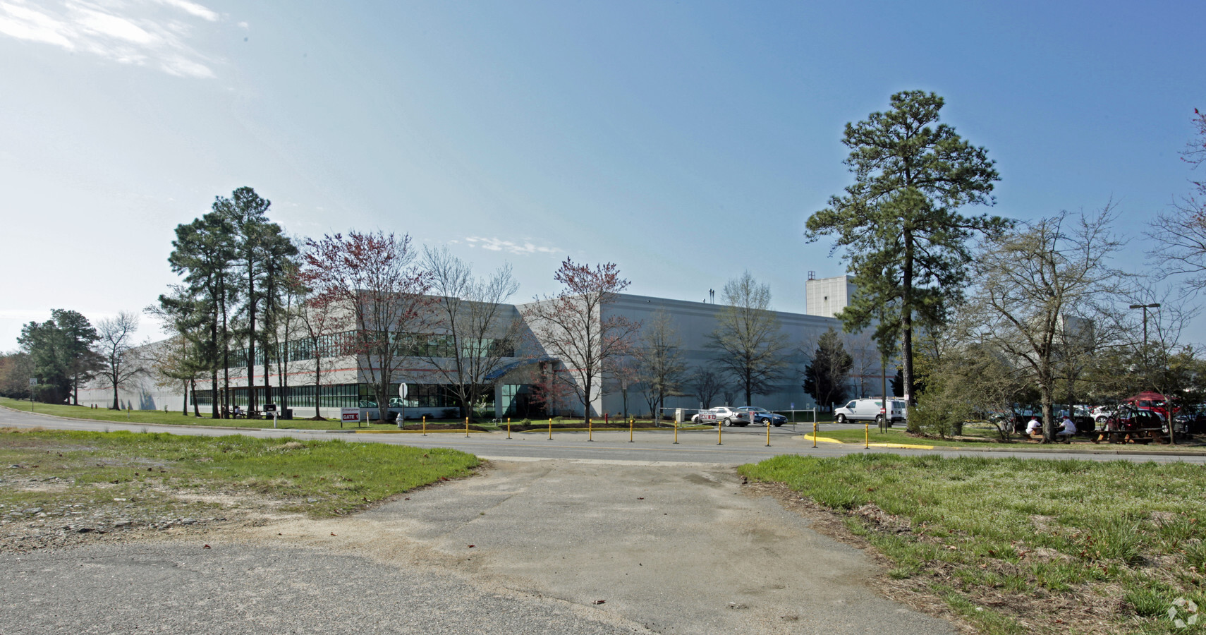
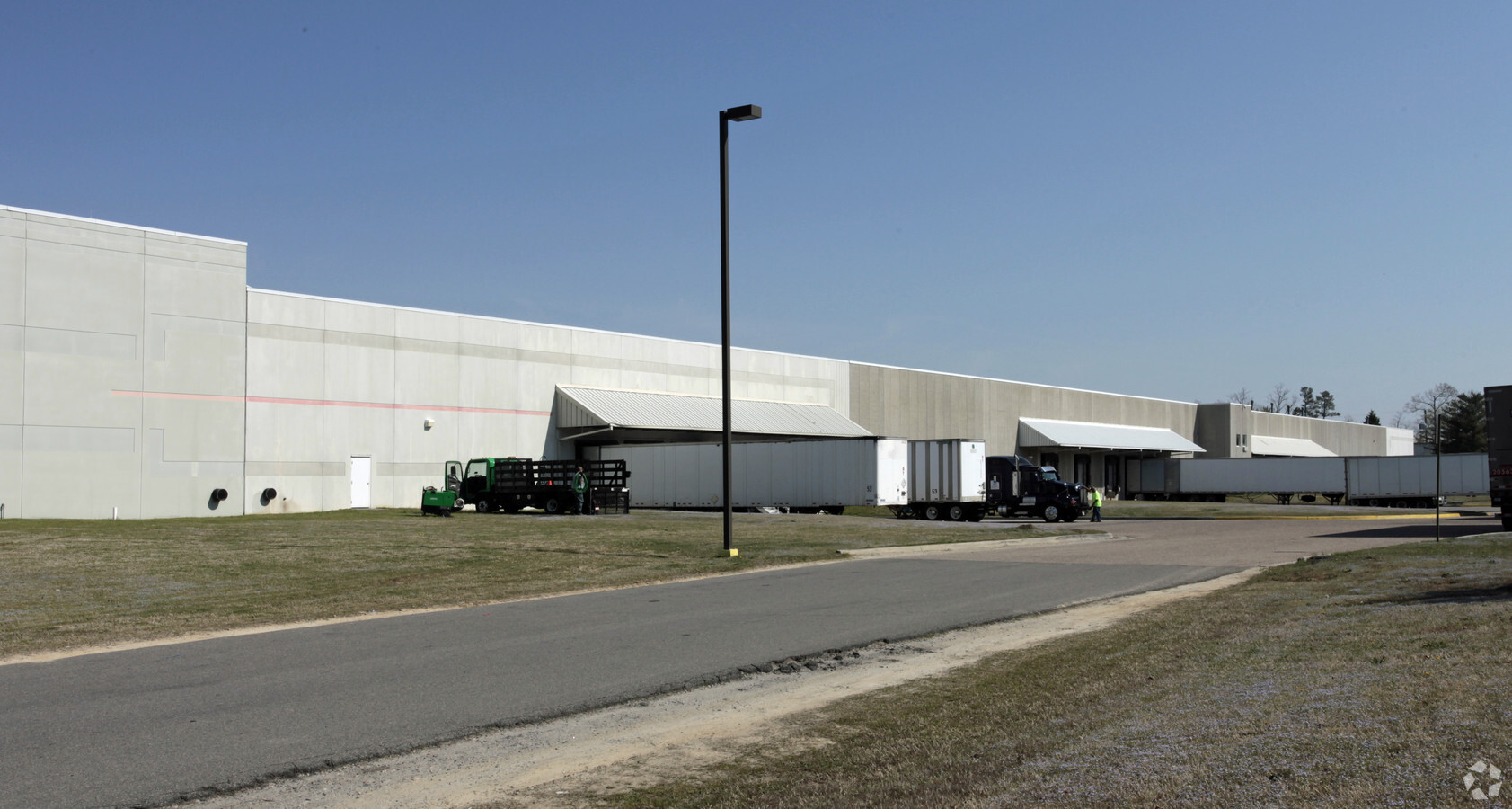
Property Record
8101 Whitepine Rd, North Chesterfield, VA 23237
NEARBY LISTINGS FOR SALE OR LEASE
Property Detail
8101 Whitepine Rd
763-67-38-64-300-000
Chesterfield Airport Ind Park
Heavymanufacturing
S/L WHITEPINE ROAD
X
Chesterfield
51041C0145E
Virginia
2024
12.94 AC
2024
Rt 288 Corridor
100815
Richmond VA
613,315 SF
Richmond, VA
DEMOGRAPHICS near 8101 Whitepine Rd
1 Mile
3 Mile
5 Mile
2024 Total Population
518
30,727
112,403
2029 Population
567
33,582
122,840
Pop Growth 2024-2029
+ 9.46%
+ 9.29%
+ 9.29%
Average Age
38
39
40
2024 Total Households
167
10,847
41,461
HH Growth 2024-2029
+ 9.58%
+ 9.41%
+ 9.44%
Median Household Inc
$91,581
$84,252
$74,445
Avg Household Size
3.10
2.70
2.60
2024 Avg HH Vehicles
3.00
2.00
2.00
Median Home Value
$300,980
$261,888
$265,061
Median Year Built
2002
1987
1987
Nearby Places
- Restaurants
- Banks
- Shops
- Fitness
- Groceries
PUBLIC TRANSPORTATION
AIRPORT
Richmond International
DRIVE
WALK
Distance
Richmond International
33 min
19.4 mi
Freight Ports
Virginia Port Authority - Richmond
DRIVE
WALK
Distance
Virginia Port Authority - Richmond
23 min
11.8 mi
Nearby Properties
Address
Land Use
TOTAL SIZE
Lot Size
Zoning
Address
Land Use
TOTAL SIZE
Lot Size
Zoning
387,548 SF
16.18 AC
C3 - COMMU
Address
Land Use
TOTAL SIZE
Lot Size
Zoning
5.60 AC
A - AGRICU
Address
Land Use
TOTAL SIZE
Lot Size
Zoning
66,118 SF
22.07 AC
A - AGRICU
Address
Land Use
TOTAL SIZE
Lot Size
Zoning
278,193 SF
74.49 AC
A - AGRICU
Address
Land Use
TOTAL SIZE
Lot Size
Zoning
12.42 AC
RTH - RES,
Address
Land Use
TOTAL SIZE
Lot Size
Zoning
8,432 SF
65.59 AC
A - AGRICU
Address
Land Use
TOTAL SIZE
Lot Size
Zoning
16,052 SF
552.02 AC
I1 - LT IN
Address
Land Use
TOTAL SIZE
Lot Size
Zoning
99,934 SF
27.15 AC
A - AGRICU
Address
Land Use
TOTAL SIZE
Lot Size
Zoning
100 SF
10.98 AC
R7 - SINGL
Address
Land Use
TOTAL SIZE
Lot Size
Zoning
10,107 SF
16.21 AC
A - AGRICU
Address
Land Use
TOTAL SIZE
Lot Size
Zoning
40,729 SF
22.64 AC
A - AGRICU
Address
Land Use
TOTAL SIZE
Lot Size
Zoning
100 SF
10.21 AC
R7 - SINGL
Address
Land Use
TOTAL SIZE
Lot Size
Zoning
138,787 SF
21.46 AC
A - AGRICU
Address
Land Use
TOTAL SIZE
Lot Size
Zoning
91,100 SF
18.74 AC
A - AGRICU
Address
Land Use
TOTAL SIZE
Lot Size
Zoning
53,100 SF
37.74 AC
O2 - CORP
Address
Land Use
TOTAL SIZE
Lot Size
Zoning
24,562 SF
48.28 AC
A - AGRICU
Address
Land Use
TOTAL SIZE
Lot Size
Zoning
99,471 SF
19.26 AC
A - AGRICU
Address
Land Use
TOTAL SIZE
Lot Size
Zoning
20,312 SF
12.76 AC
A - AGRICU
Address
Land Use
TOTAL SIZE
Lot Size
Zoning
92,000 SF
5.41 AC
C5 - GEN B
Address
Land Use
TOTAL SIZE
Lot Size
Zoning
78,948 SF
0.63 AC
A - AGRICU
Address
Land Use
TOTAL SIZE
Lot Size
Zoning
68,933 SF
19.84 AC
A - AGRICU
Address
Land Use
TOTAL SIZE
Lot Size
Zoning
119.56 AC
C3 - COMMU
Address
Land Use
TOTAL SIZE
Lot Size
Zoning
50,579 SF
21.31 AC
A - AGRICU
Address
Land Use
TOTAL SIZE
Lot Size
Zoning
91,010 SF
18.36 AC
I1 - LT IN
Address
Land Use
TOTAL SIZE
Lot Size
Zoning
108,000 SF
9.45 AC
I1 - LT IN
Address
Land Use
TOTAL SIZE
Lot Size
Zoning
127,140 SF
22.84 AC
A - AGRICU
Address
Land Use
TOTAL SIZE
Lot Size
Zoning
336 SF
191.77 AC
A - AGRICU
Address
Land Use
TOTAL SIZE
Lot Size
Zoning
28,150 SF
6.54 AC
A - AGRICU
Address
Land Use
TOTAL SIZE
Lot Size
Zoning
41,146 SF
5.67 AC
C3 - COMMU
The World's #1 Commercial Real Estate Marketplace
Connect with us
© 2025 CoStar Group
The information above has been obtained from sources believed reliable. While we do not doubt its accuracy we have not verified it and make no guarantee, warranty or representation about it. It is your responsibility to independently confirm its accuracy and completeness. Any projections, opinions, assumptions, or estimates used are for example only and do not represent the current or future performance of the property. The value of this transaction to you depends on tax and other factors which should be evaluated by your tax, financial, and legal advisors. You and your advisors should conduct a careful, independent investigation of the property to determine to your satisfaction the suitability of the property for your needs.