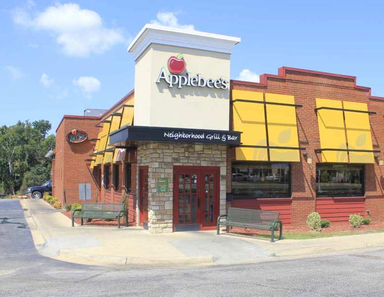
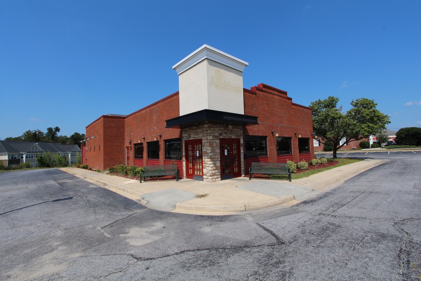
Property Record
811 S Irby St, Florence, SC 29501

NEARBY LISTINGS FOR SALE OR LEASE
Property Detail
811 S Irby St
Florence, SC
Heller & Associates
90089-06-001
Florence
Singlefamilyresidentialassumed
South Carolina
X
1.44 AC
45041C0142E
Other Market Areas
3,724 SF
DEMOGRAPHICS near 811 S Irby St
1 Mile
3 Mile
5 Mile
2024 Total Population
5,399
41,138
70,624
2029 Population
5,467
40,995
70,250
Pop Growth 2024-2029
+ 1.26%
(0.35%)
(0.53%)
Average Age
42
40
40
2024 Total Households
2,423
17,348
29,134
HH Growth 2024-2029
+ 1.77%
(0.29%)
(0.53%)
Median Household Inc
$30,937
$47,034
$53,152
Avg Household Size
2.10
2.30
2.30
2024 Avg HH Vehicles
1.00
2.00
2.00
Median Home Value
$147,106
$160,318
$163,402
Median Year Built
1962
1976
1983
Nearby Places
- Restaurants
- Banks
- Shops
- Fitness
- Groceries
PUBLIC TRANSPORTATION
COMMUTER RAIL
Florence Amtrak Station (Palmetto - Amtrak, Silver Meteor - Amtrak)
DRIVE
WALK
Distance
Florence Amtrak Station (Palmetto - Amtrak, Silver Meteor - Amtrak)
4 min
1.9 mi
Freight Ports
North Charleston Terminal
DRIVE
WALK
Distance
North Charleston Terminal
139 min
101.7 mi
SALE & LEASE HISTORY
LISTING DATE
SALE/LEASE

Sep 29, 2017
For Sale
Sep 28, 2017
For Sale
Nearby Properties
Address
Land Use
TOTAL SIZE
Lot Size
Zoning
Address
Land Use
TOTAL SIZE
Lot Size
Zoning
97,000 SF
50.87 AC
Address
Land Use
TOTAL SIZE
Lot Size
Zoning
8,416 SF
2.10 AC
B4
Address
Land Use
TOTAL SIZE
Lot Size
Zoning
125,000 SF
6.84 AC
B1
Address
Land Use
TOTAL SIZE
Lot Size
Zoning
1,347.68 AC
Address
Land Use
TOTAL SIZE
Lot Size
Zoning
86,950 SF
6.82 AC
B2
Address
Land Use
TOTAL SIZE
Lot Size
Zoning
26.36 AC
B1
Address
Land Use
TOTAL SIZE
Lot Size
Zoning
135,000 SF
10.76 AC
Address
Land Use
TOTAL SIZE
Lot Size
Zoning
134,869 SF
20.08 AC
Address
Land Use
TOTAL SIZE
Lot Size
Zoning
14,438 SF
1.88 AC
Address
Land Use
TOTAL SIZE
Lot Size
Zoning
14,820 SF
0.88 AC
B3
Address
Land Use
TOTAL SIZE
Lot Size
Zoning
71,400 SF
3.71 AC
B3
Address
Land Use
TOTAL SIZE
Lot Size
Zoning
41,834 SF
2.45 AC
Address
Land Use
TOTAL SIZE
Lot Size
Zoning
112,056 SF
18.96 AC
Address
Land Use
TOTAL SIZE
Lot Size
Zoning
30.32 AC
Address
Land Use
TOTAL SIZE
Lot Size
Zoning
2.39 AC
B1
Address
Land Use
TOTAL SIZE
Lot Size
Zoning
47,600 SF
4.57 AC
R4
Address
Land Use
TOTAL SIZE
Lot Size
Zoning
18,908 SF
0.47 AC
B3
Address
Land Use
TOTAL SIZE
Lot Size
Zoning
14,950 SF
1.41 AC
B3
Address
Land Use
TOTAL SIZE
Lot Size
Zoning
59,361 SF
9.14 AC
Address
Land Use
TOTAL SIZE
Lot Size
Zoning
22,464 SF
4.46 AC
Address
Land Use
TOTAL SIZE
Lot Size
Zoning
68.98 AC
Address
Land Use
TOTAL SIZE
Lot Size
Zoning
13,454 SF
3.86 AC
Address
Land Use
TOTAL SIZE
Lot Size
Zoning
24,014 SF
1.57 AC
B3
Address
Land Use
TOTAL SIZE
Lot Size
Zoning
10,008 SF
20.91 AC
Address
Land Use
TOTAL SIZE
Lot Size
Zoning
7,200 SF
6.65 AC
R5
Address
Land Use
TOTAL SIZE
Lot Size
Zoning
19,336 SF
0.23 AC
B4
Address
Land Use
TOTAL SIZE
Lot Size
Zoning
80,000 SF
11.02 AC
B3
The World's #1 Commercial Real Estate Marketplace
Connect with us
© 2025 CoStar Group
The information above has been obtained from sources believed reliable. While we do not doubt its accuracy we have not verified it and make no guarantee, warranty or representation about it. It is your responsibility to independently confirm its accuracy and completeness. Any projections, opinions, assumptions, or estimates used are for example only and do not represent the current or future performance of the property. The value of this transaction to you depends on tax and other factors which should be evaluated by your tax, financial, and legal advisors. You and your advisors should conduct a careful, independent investigation of the property to determine to your satisfaction the suitability of the property for your needs.