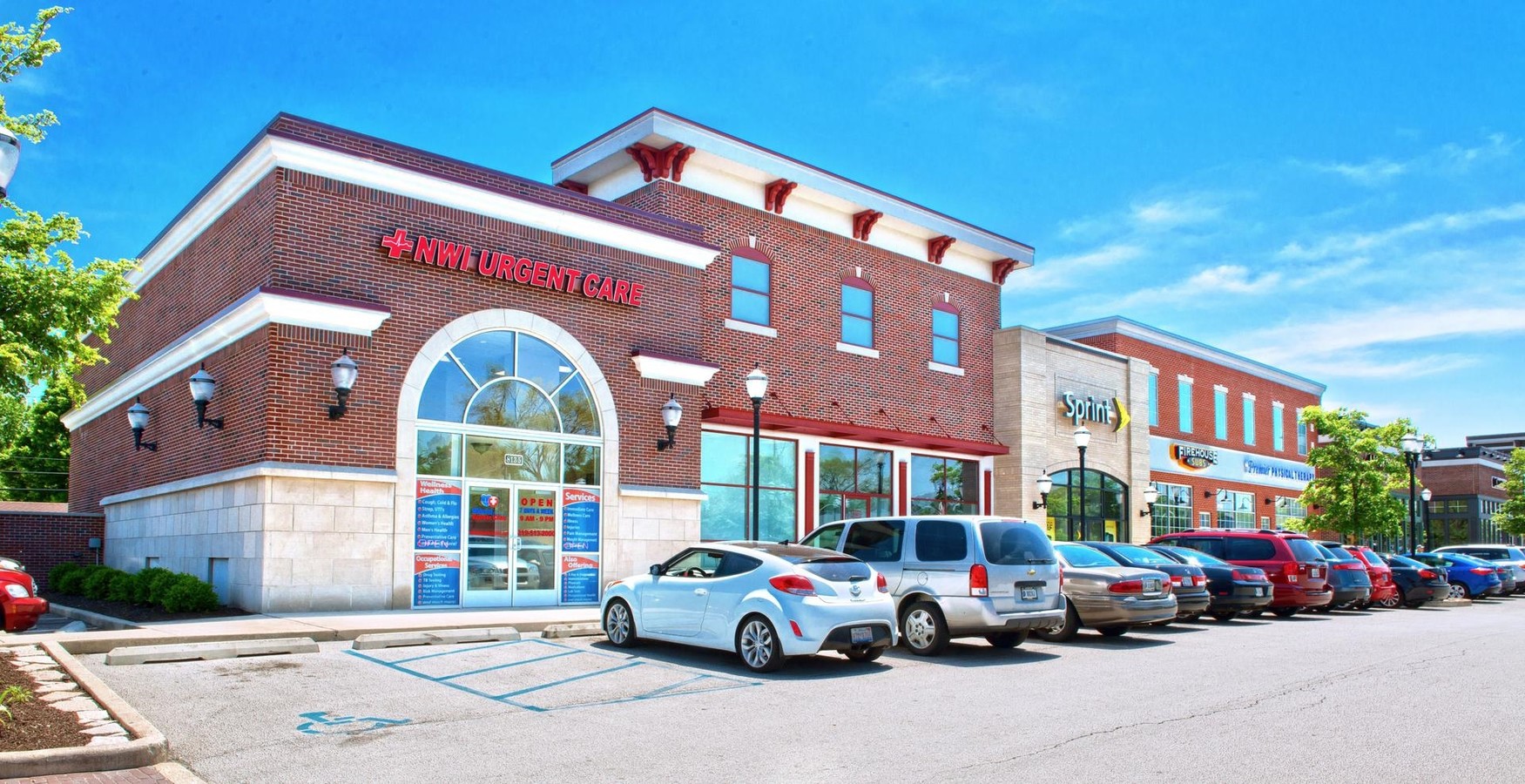
Property Record
8135 Calumet Ave, Munster, IN 46321
NEARBY LISTINGS FOR SALE OR LEASE
Property Detail
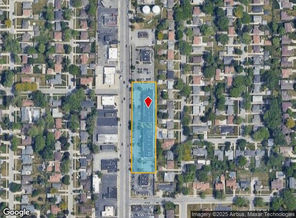
8135 Calumet Ave
45-07-19-105-001.000-027
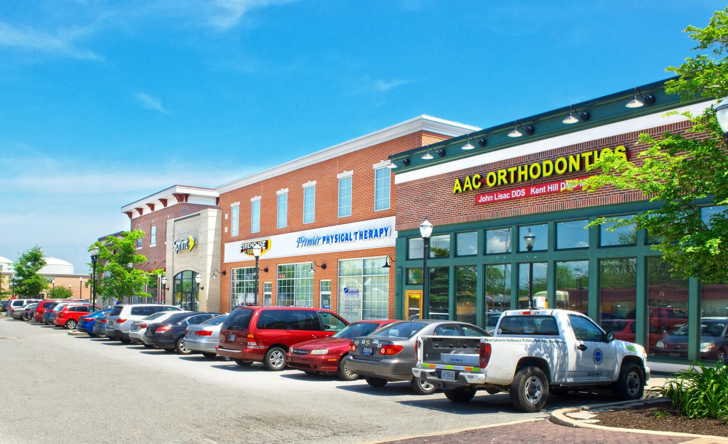
Munster Shops Condominium Unit 1
Regionalshoppingcenterormallwithanchorstore
MUNSTER SHOPS CONDOMINIUM UNIT 1
X
Lake
18089C0109E
Indiana
2023
1.82 AC
2024
Indiana
040401
Chicago
21,009 SF
Chicago-Naperville-Elgin, IL-IN-WI
DEMOGRAPHICS near 8135 Calumet Ave
1 Mile
3 Mile
5 Mile
2024 Total Population
12,584
101,011
224,390
2029 Population
12,474
99,529
221,459
Pop Growth 2024-2029
(0.87%)
(1.47%)
(1.31%)
Average Age
42
40
40
2024 Total Households
4,890
39,228
86,971
HH Growth 2024-2029
(0.90%)
(1.58%)
(1.47%)
Median Household Inc
$73,513
$64,011
$61,257
Avg Household Size
2.50
2.50
2.50
2024 Avg HH Vehicles
2.00
2.00
2.00
Median Home Value
$225,658
$176,317
$170,964
Median Year Built
1958
1960
1964
Nearby Places
- Restaurants
- Banks
- Shops
- Fitness
- Groceries
PUBLIC TRANSPORTATION
AIRPORT
Chicago Midway International
DRIVE
WALK
Distance
Chicago Midway International
44 min
26.5 mi
Chicago O'Hare International
DRIVE
WALK
Distance
Chicago O'Hare International
55 min
44.9 mi
SALE & LEASE HISTORY
LISTING DATE
SALE/LEASE

Jan 11, 2019
For Lease
Dec 03, 2018
For Lease
Nearby Properties
Address
Land Use
TOTAL SIZE
Lot Size
Zoning
Address
Land Use
TOTAL SIZE
Lot Size
Zoning
879,191 SF
13.93 AC
Address
Land Use
TOTAL SIZE
Lot Size
Zoning
308,022 SF
31.98 AC
R33
Address
Land Use
TOTAL SIZE
Lot Size
Zoning
509,210 SF
34.39 AC
Address
Land Use
TOTAL SIZE
Lot Size
Zoning
125,938 SF
12.86 AC
Address
Land Use
TOTAL SIZE
Lot Size
Zoning
350,110 SF
24.01 AC
R33
Address
Land Use
TOTAL SIZE
Lot Size
Zoning
668,326 SF
28.87 AC
Address
Land Use
TOTAL SIZE
Lot Size
Zoning
240,900 SF
10.62 AC
Address
Land Use
TOTAL SIZE
Lot Size
Zoning
133,120 SF
32.04 AC
Address
Land Use
TOTAL SIZE
Lot Size
Zoning
214,752 SF
10.41 AC
R3
Address
Land Use
TOTAL SIZE
Lot Size
Zoning
153,073 SF
4.88 AC
Address
Land Use
TOTAL SIZE
Lot Size
Zoning
97,046 SF
3.36 AC
Address
Land Use
TOTAL SIZE
Lot Size
Zoning
126,648 SF
3.71 AC
Address
Land Use
TOTAL SIZE
Lot Size
Zoning
70,017 SF
11 AC
R33
Address
Land Use
TOTAL SIZE
Lot Size
Zoning
197,080 SF
R33
Address
Land Use
TOTAL SIZE
Lot Size
Zoning
77,091 SF
2.08 AC
Address
Land Use
TOTAL SIZE
Lot Size
Zoning
79,169 SF
2.76 AC
Address
Land Use
TOTAL SIZE
Lot Size
Zoning
140,360 SF
15 AC
R33
Address
Land Use
TOTAL SIZE
Lot Size
Zoning
135,617 SF
7.80 AC
Address
Land Use
TOTAL SIZE
Lot Size
Zoning
186,608 SF
18.11 AC
R3
Address
Land Use
TOTAL SIZE
Lot Size
Zoning
217,104 SF
10.45 AC
Address
Land Use
TOTAL SIZE
Lot Size
Zoning
251,700 SF
19.86 AC
Address
Land Use
TOTAL SIZE
Lot Size
Zoning
82,272 SF
12.55 AC
R3
Address
Land Use
TOTAL SIZE
Lot Size
Zoning
189,392 SF
23.77 AC
Address
Land Use
TOTAL SIZE
Lot Size
Zoning
87,166 SF
7.82 AC
Address
Land Use
TOTAL SIZE
Lot Size
Zoning
52,731 SF
2.24 AC
R33
Address
Land Use
TOTAL SIZE
Lot Size
Zoning
25,910 SF
2.06 AC
Address
Land Use
TOTAL SIZE
Lot Size
Zoning
94,500 SF
2.68 AC
Address
Land Use
TOTAL SIZE
Lot Size
Zoning
68,178 SF
0.64 AC
Address
Land Use
TOTAL SIZE
Lot Size
Zoning
100,720 SF
Address
Land Use
TOTAL SIZE
Lot Size
Zoning
244,310 SF
9.32 AC
The World's #1 Commercial Real Estate Marketplace
Connect with us
© 2025 CoStar Group
The information above has been obtained from sources believed reliable. While we do not doubt its accuracy we have not verified it and make no guarantee, warranty or representation about it. It is your responsibility to independently confirm its accuracy and completeness. Any projections, opinions, assumptions, or estimates used are for example only and do not represent the current or future performance of the property. The value of this transaction to you depends on tax and other factors which should be evaluated by your tax, financial, and legal advisors. You and your advisors should conduct a careful, independent investigation of the property to determine to your satisfaction the suitability of the property for your needs.