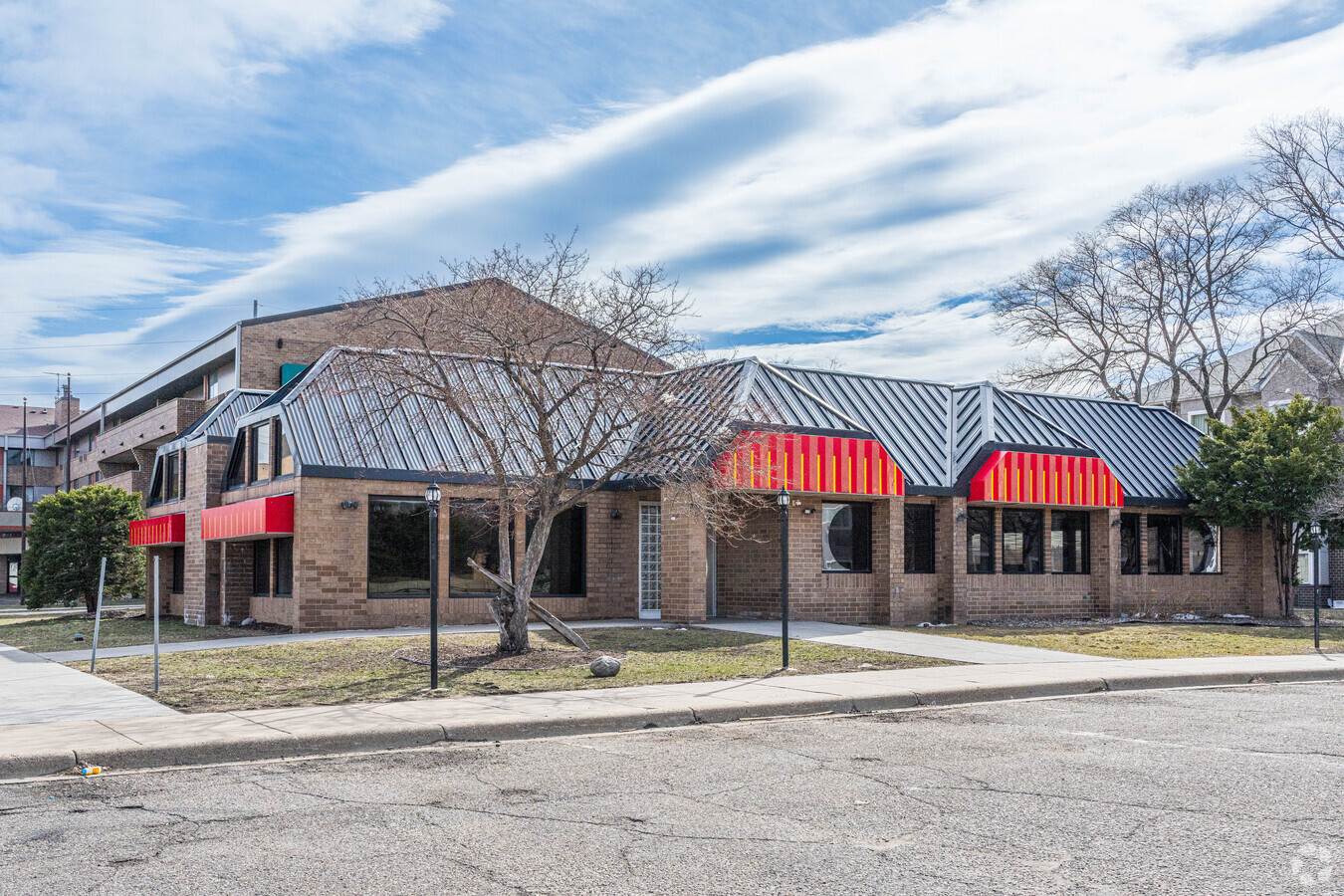
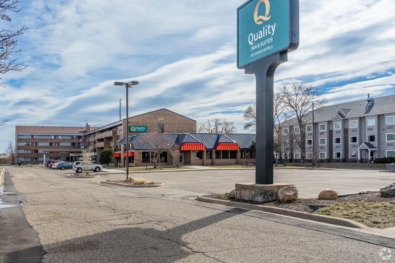
Property Record
815 E 78Th St, Minneapolis, MN 55420
NEARBY LISTINGS FOR SALE OR LEASE
Property Detail
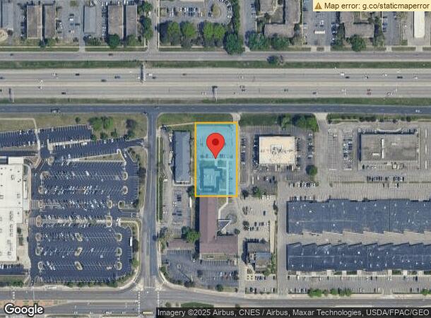
815 E 78Th St
Minneapolis-St. Paul-Bloomington, MN-WI
Dillon Centre
02-027-24-21-0026
LOT 001 BLOCK 001 A DILLON CENTRE 164.25 X 288.81
Commercialnec
Hennepin
X
Minnesota
27053C0457F
1
2024
1.09 AC
2023
Southdale
0252012000
Minneapolis/St Paul
6,210 SF
DEMOGRAPHICS near 815 E 78Th St
1 Mile
3 Mile
5 Mile
2024 Total Population
15,583
85,464
241,002
2029 Population
15,249
84,069
237,999
Pop Growth 2024-2029
(2.14%)
(1.63%)
(1.25%)
Average Age
37
41
41
2024 Total Households
5,443
35,994
102,239
HH Growth 2024-2029
(2.30%)
(1.73%)
(1.26%)
Median Household Inc
$67,958
$75,934
$89,866
Avg Household Size
2.70
2.30
2.30
2024 Avg HH Vehicles
2.00
2.00
2.00
Median Home Value
$261,707
$283,598
$331,815
Median Year Built
1957
1959
1960
Nearby Places
- Restaurants
- Banks
- Shops
- Fitness
- Groceries
PUBLIC TRANSPORTATION
COMMUTER RAIL
Target Field Station (Northstar Corridor - Northstar Commuter Rail)
DRIVE
WALK
Distance
Target Field Station (Northstar Corridor - Northstar Commuter Rail)
19 min
9.9 mi
AIRPORT
Minneapolis-St Paul International/Wold-Chamberlain
DRIVE
WALK
Distance
Minneapolis-St Paul International/Wold-Chamberlain
7 min
3.5 mi
Freight Ports
Port Milwaukee
DRIVE
WALK
Distance
Port Milwaukee
376 min
340.6 mi
SALE & LEASE HISTORY
LISTING DATE
SALE/LEASE

Oct 11, 2023
For Sale
Dec 01, 2022
For Lease
Nearby Properties
Address
Land Use
TOTAL SIZE
Lot Size
Zoning
Address
Land Use
TOTAL SIZE
Lot Size
Zoning
1,233,880 SF
63.49 AC
Address
Land Use
TOTAL SIZE
Lot Size
Zoning
1,341.19 AC
Address
Land Use
TOTAL SIZE
Lot Size
Zoning
35.28 AC
Address
Land Use
TOTAL SIZE
Lot Size
Zoning
4.26 AC
Address
Land Use
TOTAL SIZE
Lot Size
Zoning
21.50 AC
Address
Land Use
TOTAL SIZE
Lot Size
Zoning
3.86 AC
Address
Land Use
TOTAL SIZE
Lot Size
Zoning
78,800 SF
2.12 AC
Address
Land Use
TOTAL SIZE
Lot Size
Zoning
31,646 SF
5.85 AC
Address
Land Use
TOTAL SIZE
Lot Size
Zoning
435,796 SF
36.44 AC
Address
Land Use
TOTAL SIZE
Lot Size
Zoning
60,320 SF
11.50 AC
Address
Land Use
TOTAL SIZE
Lot Size
Zoning
4.20 AC
Address
Land Use
TOTAL SIZE
Lot Size
Zoning
98,676 SF
8.77 AC
Address
Land Use
TOTAL SIZE
Lot Size
Zoning
122,021 SF
21.74 AC
Address
Land Use
TOTAL SIZE
Lot Size
Zoning
114,617 SF
17.68 AC
Address
Land Use
TOTAL SIZE
Lot Size
Zoning
2.23 AC
Address
Land Use
TOTAL SIZE
Lot Size
Zoning
32,748 SF
2.24 AC
Address
Land Use
TOTAL SIZE
Lot Size
Zoning
33,246 SF
5.16 AC
Address
Land Use
TOTAL SIZE
Lot Size
Zoning
6.87 AC
Address
Land Use
TOTAL SIZE
Lot Size
Zoning
19,441 SF
1.37 AC
Address
Land Use
TOTAL SIZE
Lot Size
Zoning
4.20 AC
Address
Land Use
TOTAL SIZE
Lot Size
Zoning
20,548 SF
4.08 AC
Address
Land Use
TOTAL SIZE
Lot Size
Zoning
10.96 AC
Address
Land Use
TOTAL SIZE
Lot Size
Zoning
Address
Land Use
TOTAL SIZE
Lot Size
Zoning
Address
Land Use
TOTAL SIZE
Lot Size
Zoning
4.20 AC
Address
Land Use
TOTAL SIZE
Lot Size
Zoning
138,826 SF
23.39 AC
Address
Land Use
TOTAL SIZE
Lot Size
Zoning
14,568 SF
14.97 AC
Address
Land Use
TOTAL SIZE
Lot Size
Zoning
Address
Land Use
TOTAL SIZE
Lot Size
Zoning
4.54 AC
Address
Land Use
TOTAL SIZE
Lot Size
Zoning
2.49 AC
The World's #1 Commercial Real Estate Marketplace
Connect with us
© 2025 CoStar Group
The information above has been obtained from sources believed reliable. While we do not doubt its accuracy we have not verified it and make no guarantee, warranty or representation about it. It is your responsibility to independently confirm its accuracy and completeness. Any projections, opinions, assumptions, or estimates used are for example only and do not represent the current or future performance of the property. The value of this transaction to you depends on tax and other factors which should be evaluated by your tax, financial, and legal advisors. You and your advisors should conduct a careful, independent investigation of the property to determine to your satisfaction the suitability of the property for your needs.