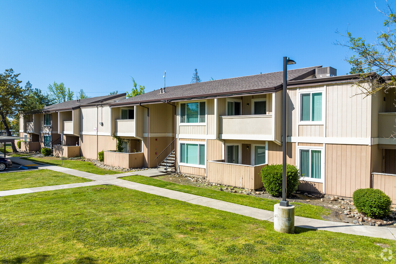
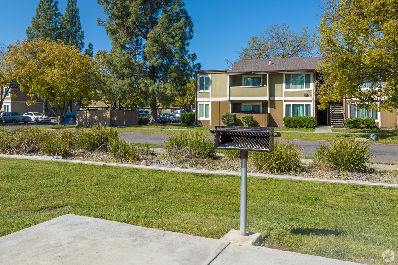
Property Record
8162 Palisades Dr, Stockton, CA 95210

NEARBY LISTINGS FOR SALE OR LEASE
Property Detail
8162 Palisades Dr
Stockton-Lodi, CA
Rolling Hills
088-180-25
82-FM PT 088-180-02 BK 088 PG 18
Apartment
San Joaquin
X
California
06077C0320F
1,2
2024
8.28 AC
2024
Valley Oak
003406
Stockton/Modesto
126,146 SF
DEMOGRAPHICS near 8162 Palisades Dr
1 Mile
3 Mile
5 Mile
2024 Total Population
31,533
157,696
284,959
2029 Population
33,142
166,535
300,743
Pop Growth 2024-2029
+ 5.10%
+ 5.61%
+ 5.54%
Average Age
36
37
37
2024 Total Households
9,536
48,727
92,965
HH Growth 2024-2029
+ 5.17%
+ 5.62%
+ 5.61%
Median Household Inc
$57,561
$71,420
$71,116
Avg Household Size
3.20
3.10
2.90
2024 Avg HH Vehicles
2.00
2.00
2.00
Median Home Value
$293,085
$380,193
$391,136
Median Year Built
1977
1978
1976
Nearby Places
- Restaurants
- Banks
- Shops
- Fitness
- Groceries
PUBLIC TRANSPORTATION
COMMUTER RAIL
Stockton (Altamont Corridor Express - Altamont Commuter Express (ACE))
DRIVE
WALK
Distance
Stockton (Altamont Corridor Express - Altamont Commuter Express (ACE))
10 min
5.3 mi
Stockton (San Joaquins - Amtrak)
DRIVE
WALK
Distance
Stockton (San Joaquins - Amtrak)
11 min
6.3 mi
AIRPORT
Stockton Metro
DRIVE
WALK
Distance
Stockton Metro
18 min
9.9 mi
Freight Ports
Port of Stockton
DRIVE
WALK
Distance
Port of Stockton
14 min
7.2 mi
SALE & LEASE HISTORY
LISTING DATE
SALE/LEASE

Sep 24, 2016
For Sale
Sep 23, 2016
For Sale
Nearby Properties
Address
Land Use
TOTAL SIZE
Lot Size
Zoning
Address
Land Use
TOTAL SIZE
Lot Size
Zoning
82.44 AC
Address
Land Use
TOTAL SIZE
Lot Size
Zoning
24.90 AC
O
Address
Land Use
TOTAL SIZE
Lot Size
Zoning
4,495 SF
11.76 AC
Address
Land Use
TOTAL SIZE
Lot Size
Zoning
7.22 AC
Address
Land Use
TOTAL SIZE
Lot Size
Zoning
22.89 AC
Address
Land Use
TOTAL SIZE
Lot Size
Zoning
254,378 SF
17.07 AC
Address
Land Use
TOTAL SIZE
Lot Size
Zoning
9,192 SF
5.49 AC
RHD
Address
Land Use
TOTAL SIZE
Lot Size
Zoning
21,204 SF
3.19 AC
Address
Land Use
TOTAL SIZE
Lot Size
Zoning
70,681 SF
9.20 AC
Address
Land Use
TOTAL SIZE
Lot Size
Zoning
1,312 SF
7.44 AC
Address
Land Use
TOTAL SIZE
Lot Size
Zoning
21.16 AC
Address
Land Use
TOTAL SIZE
Lot Size
Zoning
82,512 SF
4.14 AC
Address
Land Use
TOTAL SIZE
Lot Size
Zoning
14,212 SF
26.11 AC
Address
Land Use
TOTAL SIZE
Lot Size
Zoning
21,204 SF
3.13 AC
Address
Land Use
TOTAL SIZE
Lot Size
Zoning
Address
Land Use
TOTAL SIZE
Lot Size
Zoning
18.66 AC
Address
Land Use
TOTAL SIZE
Lot Size
Zoning
97,276 SF
5.46 AC
RHD
Address
Land Use
TOTAL SIZE
Lot Size
Zoning
89,725 SF
4.02 AC
Address
Land Use
TOTAL SIZE
Lot Size
Zoning
34.13 AC
Address
Land Use
TOTAL SIZE
Lot Size
Zoning
21,204 SF
3.52 AC
Address
Land Use
TOTAL SIZE
Lot Size
Zoning
51,892 SF
5.33 AC
Address
Land Use
TOTAL SIZE
Lot Size
Zoning
47,385 SF
2 AC
Address
Land Use
TOTAL SIZE
Lot Size
Zoning
14,035 SF
10.02 AC
Address
Land Use
TOTAL SIZE
Lot Size
Zoning
2.86 AC
Address
Land Use
TOTAL SIZE
Lot Size
Zoning
12,681 SF
13.01 AC
Address
Land Use
TOTAL SIZE
Lot Size
Zoning
182,352 SF
10.54 AC
Address
Land Use
TOTAL SIZE
Lot Size
Zoning
50,031 SF
5.30 AC
Address
Land Use
TOTAL SIZE
Lot Size
Zoning
69,468 SF
3.64 AC
Address
Land Use
TOTAL SIZE
Lot Size
Zoning
10.34 AC
Address
Land Use
TOTAL SIZE
Lot Size
Zoning
135,198 SF
13.37 AC
The World's #1 Commercial Real Estate Marketplace
Connect with us
© 2025 CoStar Group
The information above has been obtained from sources believed reliable. While we do not doubt its accuracy we have not verified it and make no guarantee, warranty or representation about it. It is your responsibility to independently confirm its accuracy and completeness. Any projections, opinions, assumptions, or estimates used are for example only and do not represent the current or future performance of the property. The value of this transaction to you depends on tax and other factors which should be evaluated by your tax, financial, and legal advisors. You and your advisors should conduct a careful, independent investigation of the property to determine to your satisfaction the suitability of the property for your needs.