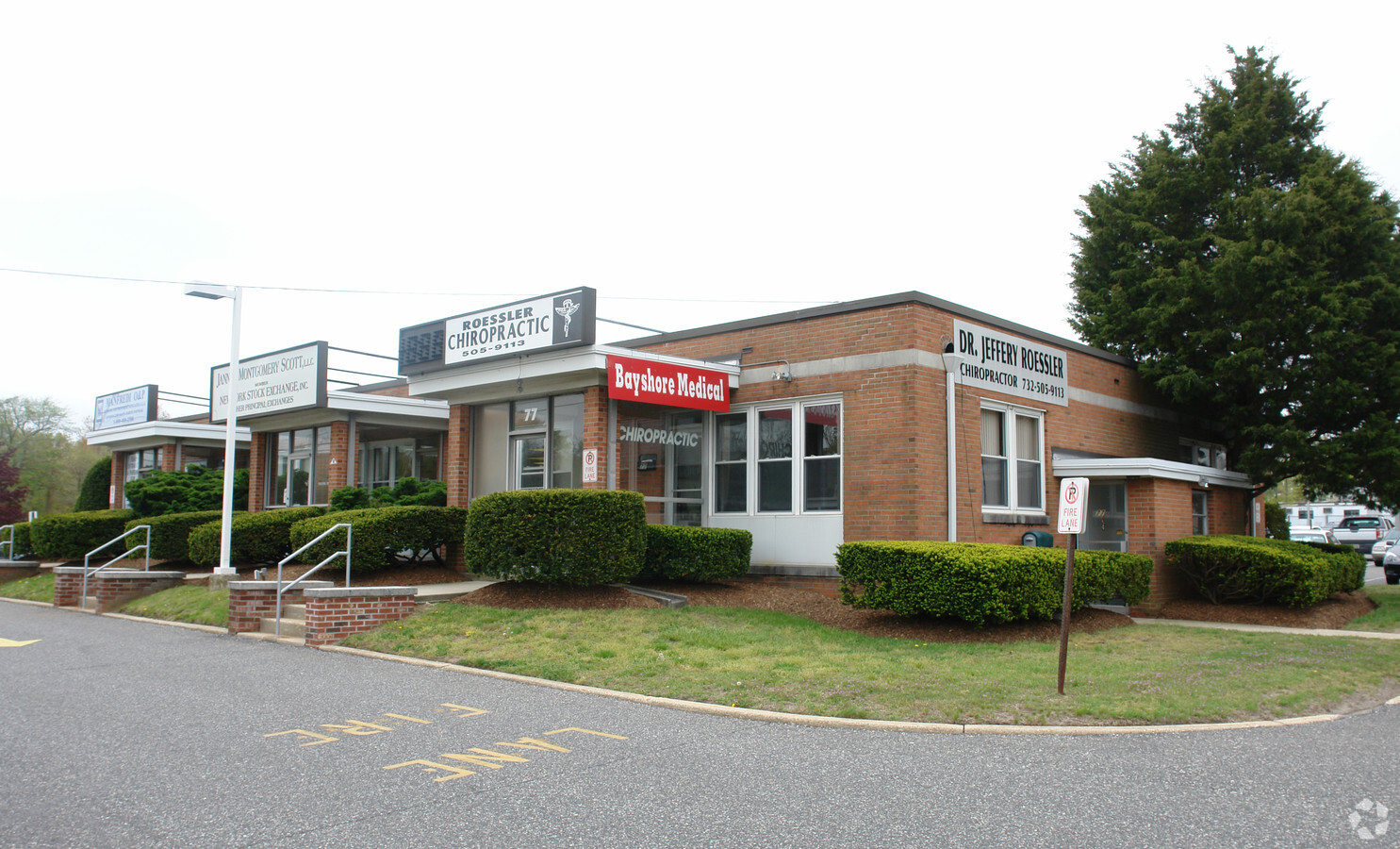
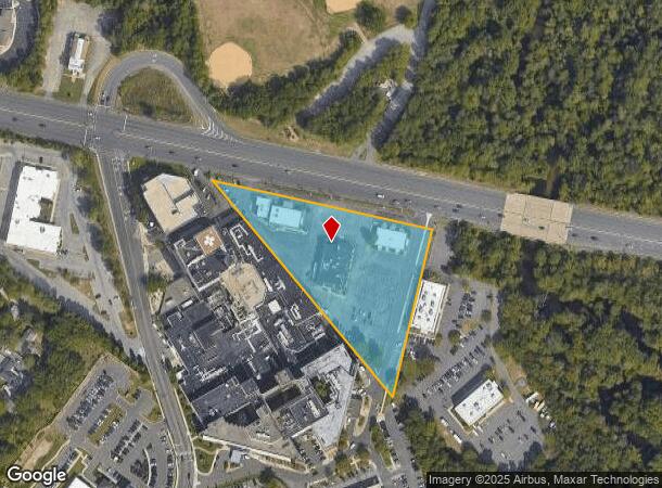
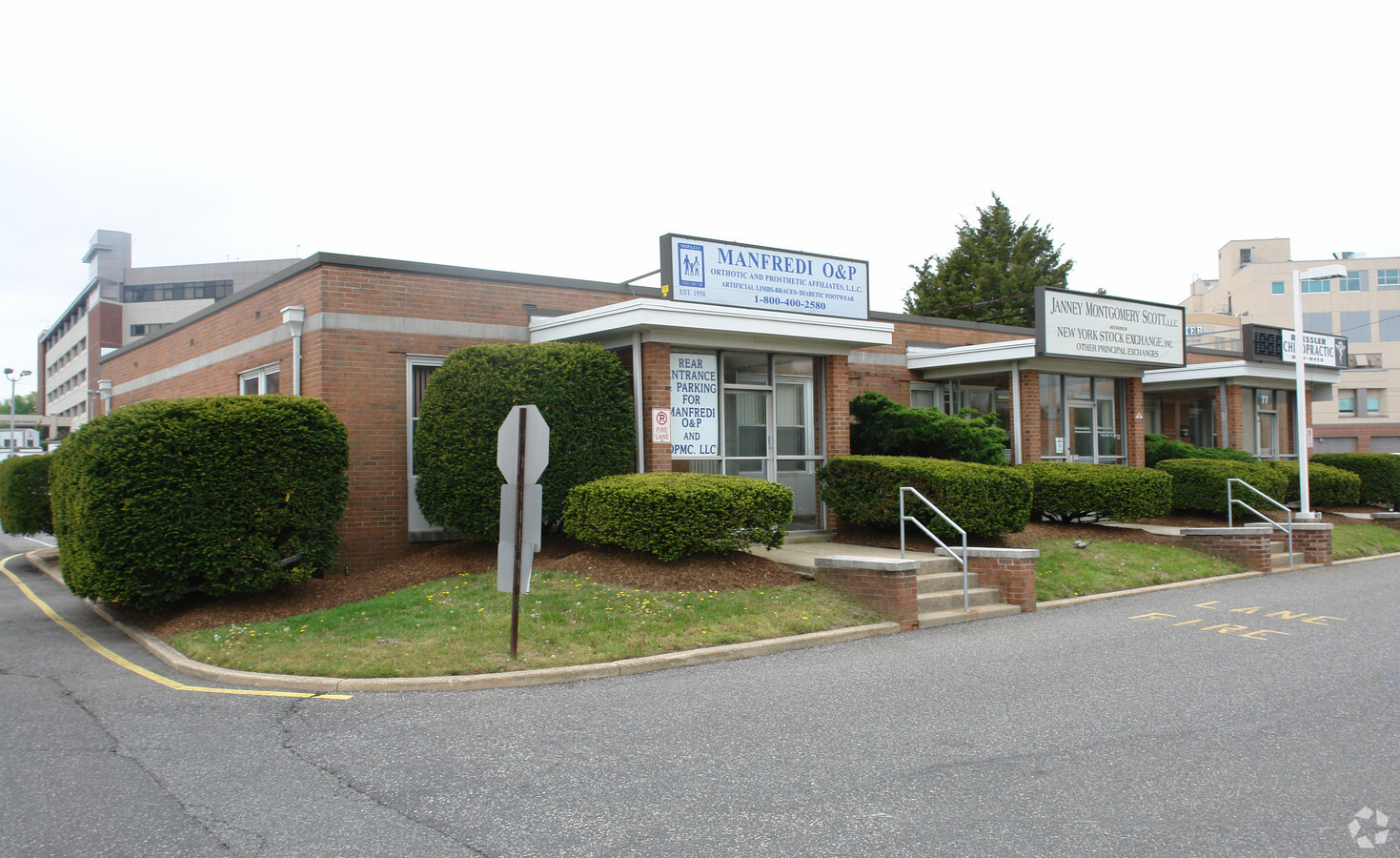
Property Record
79 Route 37 W, Toms River, NJ 08755
NEARBY LISTINGS FOR SALE OR LEASE
Property Detail
79 Route 37 W
08-00535-0000-00002
3.298AC
Vacantlandnec
Ocean
AE
New Jersey
34029C0304F
2
2023
3.30 AC
2024
Ocean County
723000
Northern New Jersey
4,361 SF
New York-Jersey City-White Plains, NY-NJ
DEMOGRAPHICS near 79 Route 37 W
1 Mile
3 Mile
5 Mile
2024 Total Population
8,164
61,818
137,417
2029 Population
8,558
65,331
145,205
Pop Growth 2024-2029
+ 4.83%
+ 5.68%
+ 5.67%
Average Age
39
45
44
2024 Total Households
3,136
25,060
54,946
HH Growth 2024-2029
+ 4.15%
+ 5.29%
+ 5.11%
Median Household Inc
$70,363
$68,693
$70,902
Avg Household Size
2.50
2.40
2.40
2024 Avg HH Vehicles
2.00
2.00
2.00
Median Home Value
$288,115
$264,818
$275,480
Median Year Built
1971
1976
1977
Nearby Places
- Restaurants
- Banks
- Shops
- Fitness
- Groceries
SALE & LEASE HISTORY
LISTING DATE
SALE/LEASE

Sep 25, 2016
For Lease
Nov 08, 2018
For Lease
Nearby Properties
Address
Land Use
TOTAL SIZE
Lot Size
Zoning
Address
Land Use
TOTAL SIZE
Lot Size
Zoning
38.17 AC
HMS
Address
Land Use
TOTAL SIZE
Lot Size
Zoning
83.07 AC
R400
Address
Land Use
TOTAL SIZE
Lot Size
Zoning
22,175 SF
30.21 AC
RC
Address
Land Use
TOTAL SIZE
Lot Size
Zoning
4,584 SF
11.85 AC
VO
Address
Land Use
TOTAL SIZE
Lot Size
Zoning
8,512 SF
25.67 AC
RC
Address
Land Use
TOTAL SIZE
Lot Size
Zoning
1,414 SF
35.40 AC
RHB
Address
Land Use
TOTAL SIZE
Lot Size
Zoning
1,000 SF
14.63 AC
RC
Address
Land Use
TOTAL SIZE
Lot Size
Zoning
18,890 SF
24.59 AC
SPLT
Address
Land Use
TOTAL SIZE
Lot Size
Zoning
46,332 SF
8.85 AC
SPLT
Address
Land Use
TOTAL SIZE
Lot Size
Zoning
7,436 SF
22.36 AC
MF8
Address
Land Use
TOTAL SIZE
Lot Size
Zoning
15.68 AC
MF8
Address
Land Use
TOTAL SIZE
Lot Size
Zoning
3,997 SF
11.09 AC
RC
Address
Land Use
TOTAL SIZE
Lot Size
Zoning
3,632 SF
189.71 AC
R400
Address
Land Use
TOTAL SIZE
Lot Size
Zoning
44.86 AC
SPLT
Address
Land Use
TOTAL SIZE
Lot Size
Zoning
5,600 SF
24.53 AC
RHB
Address
Land Use
TOTAL SIZE
Lot Size
Zoning
5,112 SF
15.69 AC
RHB
Address
Land Use
TOTAL SIZE
Lot Size
Zoning
15,243 SF
5.47 AC
HMS
Address
Land Use
TOTAL SIZE
Lot Size
Zoning
2,934 SF
16.83 AC
RHB
Address
Land Use
TOTAL SIZE
Lot Size
Zoning
1.98 AC
HB
Address
Land Use
TOTAL SIZE
Lot Size
Zoning
11.26 AC
RHB
Address
Land Use
TOTAL SIZE
Lot Size
Zoning
3,628 SF
17.59 AC
SPLT
Address
Land Use
TOTAL SIZE
Lot Size
Zoning
3,830 SF
24.23 AC
R120
Address
Land Use
TOTAL SIZE
Lot Size
Zoning
8,192 SF
12.83 AC
R400
Address
Land Use
TOTAL SIZE
Lot Size
Zoning
1,308 SF
2.14 AC
VO
Address
Land Use
TOTAL SIZE
Lot Size
Zoning
10,360 SF
11.56 AC
HB
Address
Land Use
TOTAL SIZE
Lot Size
Zoning
14,545 SF
3.15 AC
HMS
Address
Land Use
TOTAL SIZE
Lot Size
Zoning
9,267 SF
401.94 AC
RC
Address
Land Use
TOTAL SIZE
Lot Size
Zoning
1,170 SF
27.24 AC
R90
Address
Land Use
TOTAL SIZE
Lot Size
Zoning
3,524 SF
10 AC
HB
Address
Land Use
TOTAL SIZE
Lot Size
Zoning
2,796 SF
13.55 AC
RC
The World's #1 Commercial Real Estate Marketplace
Connect with us
© 2025 CoStar Group
The information above has been obtained from sources believed reliable. While we do not doubt its accuracy we have not verified it and make no guarantee, warranty or representation about it. It is your responsibility to independently confirm its accuracy and completeness. Any projections, opinions, assumptions, or estimates used are for example only and do not represent the current or future performance of the property. The value of this transaction to you depends on tax and other factors which should be evaluated by your tax, financial, and legal advisors. You and your advisors should conduct a careful, independent investigation of the property to determine to your satisfaction the suitability of the property for your needs.