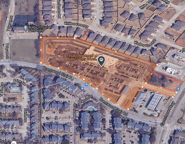
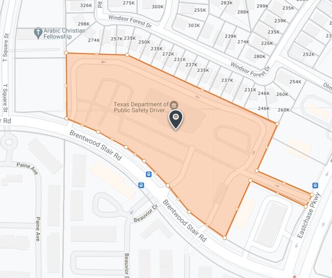
Property Record
8301 Brentwood Stair Rd, Fort Worth, TX 76120

NEARBY LISTINGS FOR SALE OR LEASE
Property Detail
8301 Brentwood Stair Rd
Dallas-Fort Worth-Arlington, TX
Dps Center
41590317
DPS CENTER BLOCK 1 LOT 1
Commercialnec
Tarrant
X
Texas
48439C0220L
1
2024
7.35 AC
2025
Arlington/Mansfield
106514
Dallas/Ft Worth
23,781 SF
DEMOGRAPHICS near 8301 Brentwood Stair Rd
1 Mile
3 Mile
5 Mile
2024 Total Population
10,441
80,458
259,640
2029 Population
10,979
84,661
274,887
Pop Growth 2024-2029
+ 5.15%
+ 5.22%
+ 5.87%
Average Age
36
38
37
2024 Total Households
4,407
31,352
101,735
HH Growth 2024-2029
+ 5.17%
+ 5.26%
+ 5.99%
Median Household Inc
$67,417
$65,780
$55,095
Avg Household Size
2.30
2.50
2.50
2024 Avg HH Vehicles
2.00
2.00
2.00
Median Home Value
$253,087
$250,421
$245,647
Median Year Built
1994
1980
1979
Nearby Places
Map Layers
Map Styles
 Street
 Aerial
- Restaurants
- Banks
- Shops
- Fitness
- Groceries
PUBLIC TRANSPORTATION
COMMUTER RAIL
Richland Hills (Trinity Railway Express - Dallas Area Rapid Transit (DART))
DRIVE
WALK
Distance
Richland Hills (Trinity Railway Express - Dallas Area Rapid Transit (DART))
12 min
6.2 mi
Hurst/Bell (Trinity Railway Express - Dallas Area Rapid Transit (DART))
DRIVE
WALK
Distance
Hurst/Bell (Trinity Railway Express - Dallas Area Rapid Transit (DART))
15 min
6.3 mi
AIRPORT
Dallas-Fort Worth International
DRIVE
WALK
Distance
Dallas-Fort Worth International
29 min
18.8 mi
Dallas Love Field
DRIVE
WALK
Distance
Dallas Love Field
38 min
26.7 mi
Nearby Properties
Address
Land Use
TOTAL SIZE
Lot Size
Zoning
Address
Land Use
TOTAL SIZE
Lot Size
Zoning
492,970 SF
44.82 AC
Address
Land Use
TOTAL SIZE
Lot Size
Zoning
288,378 SF
15.40 AC
Address
Land Use
TOTAL SIZE
Lot Size
Zoning
242,811 SF
13.60 AC
Address
Land Use
TOTAL SIZE
Lot Size
Zoning
163,000 SF
12.36 AC
Address
Land Use
TOTAL SIZE
Lot Size
Zoning
247,688 SF
11.75 AC
Address
Land Use
TOTAL SIZE
Lot Size
Zoning
268,643 SF
12.50 AC
Address
Land Use
TOTAL SIZE
Lot Size
Zoning
325,179 SF
15.64 AC
Address
Land Use
TOTAL SIZE
Lot Size
Zoning
206,098 SF
10 AC
Address
Land Use
TOTAL SIZE
Lot Size
Zoning
213,824 SF
11.66 AC
Address
Land Use
TOTAL SIZE
Lot Size
Zoning
176,735 SF
10.62 AC
Address
Land Use
TOTAL SIZE
Lot Size
Zoning
123,801 SF
10.44 AC
Address
Land Use
TOTAL SIZE
Lot Size
Zoning
206,696 SF
9.92 AC
Address
Land Use
TOTAL SIZE
Lot Size
Zoning
128,208 SF
43.67 AC
Address
Land Use
TOTAL SIZE
Lot Size
Zoning
190,755 SF
33.09 AC
Address
Land Use
TOTAL SIZE
Lot Size
Zoning
187,684 SF
9.20 AC
Address
Land Use
TOTAL SIZE
Lot Size
Zoning
171,690 SF
7.87 AC
Address
Land Use
TOTAL SIZE
Lot Size
Zoning
184,933 SF
7.50 AC
Address
Land Use
TOTAL SIZE
Lot Size
Zoning
220,922 SF
15.32 AC
Address
Land Use
TOTAL SIZE
Lot Size
Zoning
144,164 SF
9.31 AC
Address
Land Use
TOTAL SIZE
Lot Size
Zoning
189,675 SF
8.78 AC
Address
Land Use
TOTAL SIZE
Lot Size
Zoning
200,081 SF
10.38 AC
Address
Land Use
TOTAL SIZE
Lot Size
Zoning
196,098 SF
7.95 AC
Address
Land Use
TOTAL SIZE
Lot Size
Zoning
209,157 SF
21.89 AC
Address
Land Use
TOTAL SIZE
Lot Size
Zoning
120,820 SF
6.39 AC
Address
Land Use
TOTAL SIZE
Lot Size
Zoning
127,090 SF
11.16 AC
Address
Land Use
TOTAL SIZE
Lot Size
Zoning
185,804 SF
9.73 AC
Address
Land Use
TOTAL SIZE
Lot Size
Zoning
176,096 SF
7.04 AC
Address
Land Use
TOTAL SIZE
Lot Size
Zoning
1,880 SF
36.03 AC
Address
Land Use
TOTAL SIZE
Lot Size
Zoning
178,773 SF
10 AC
Address
Land Use
TOTAL SIZE
Lot Size
Zoning
208,085 SF
12 AC
The World's #1 Commercial Real Estate Marketplace
Connect with us
© 2026 CoStar Group
The information above has been obtained from sources believed reliable. While we do not doubt its accuracy we have not verified it and make no guarantee, warranty or representation about it. It is your responsibility to independently confirm its accuracy and completeness. Any projections, opinions, assumptions, or estimates used are for example only and do not represent the current or future performance of the property. The value of this transaction to you depends on tax and other factors which should be evaluated by your tax, financial, and legal advisors. You and your advisors should conduct a careful, independent investigation of the property to determine to your satisfaction the suitability of the property for your needs.