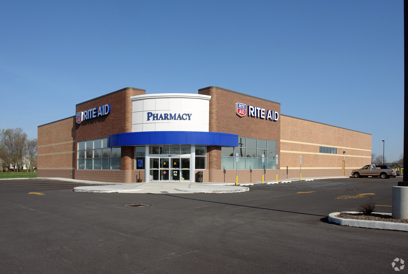
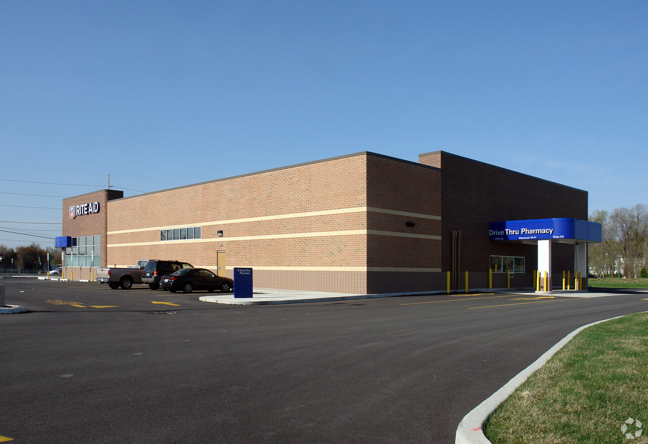
Property Record
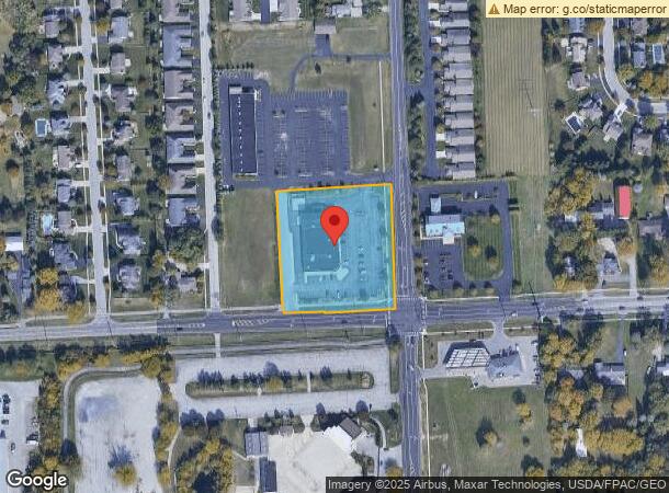
8310 Sylvania Metamora Rd, Sylvania, OH 43560
NEARBY LISTINGS FOR SALE OR LEASE
Property Detail
8310 Sylvania Metamora Rd
82-93568
6 9 6 SE 1/4 SLY 356.78 FT AS MEAS ON ELINE ELY 334.34 FT A
Departmentstore
Lucas
X
Ohio
39095C0053E
2.55 AC
2023
West/Sylvania
2023
Toledo
009204
Toledo, OH
14,781 SF
DEMOGRAPHICS near 8310 Sylvania Metamora Rd
1 Mile
3 Mile
5 Mile
2024 Total Population
4,822
25,310
57,102
2029 Population
4,709
24,808
56,027
Pop Growth 2024-2029
(2.34%)
(1.98%)
(1.88%)
Average Age
41
41
42
2024 Total Households
1,693
9,567
23,320
HH Growth 2024-2029
(2.48%)
(2.01%)
(1.81%)
Median Household Inc
$124,892
$107,611
$87,999
Avg Household Size
2.80
2.50
2.40
2024 Avg HH Vehicles
2.00
2.00
2.00
Median Home Value
$263,542
$255,985
$234,772
Median Year Built
1992
1984
1980
Nearby Places
- Restaurants
- Banks
- Shops
- Fitness
- Groceries
PUBLIC TRANSPORTATION
AIRPORT
Eugene F Kranz Toledo Express
DRIVE
WALK
Distance
Eugene F Kranz Toledo Express
30 min
15.8 mi
Freight Ports
Port of Toledo
DRIVE
WALK
Distance
Port of Toledo
36 min
19.4 mi
SALE & LEASE HISTORY
LISTING DATE
SALE/LEASE

Apr 20, 2022
For Sale
Nearby Properties
Address
Land Use
TOTAL SIZE
Lot Size
Zoning
Address
Land Use
TOTAL SIZE
Lot Size
Zoning
607,717 SF
7.39 AC
31-R3
Address
Land Use
TOTAL SIZE
Lot Size
Zoning
460,266 SF
85.36 AC
31-R1
Address
Land Use
TOTAL SIZE
Lot Size
Zoning
209,351 SF
49.06 AC
31-R1
Address
Land Use
TOTAL SIZE
Lot Size
Zoning
238,200 SF
32.90 AC
31-R1
Address
Land Use
TOTAL SIZE
Lot Size
Zoning
78,678 SF
10.20 AC
31-R1
Address
Land Use
TOTAL SIZE
Lot Size
Zoning
101,635 SF
34.34 AC
20-S1
Address
Land Use
TOTAL SIZE
Lot Size
Zoning
174,890 SF
19.86 AC
31-R3
Address
Land Use
TOTAL SIZE
Lot Size
Zoning
130,387 SF
8.50 AC
20-R5
Address
Land Use
TOTAL SIZE
Lot Size
Zoning
106,064 SF
332 AC
M2
Address
Land Use
TOTAL SIZE
Lot Size
Zoning
70,550 SF
8.25 AC
31-B1
Address
Land Use
TOTAL SIZE
Lot Size
Zoning
102,800 SF
23.01 AC
20-R4
Address
Land Use
TOTAL SIZE
Lot Size
Zoning
119,804 SF
5.02 AC
31-R4
Address
Land Use
TOTAL SIZE
Lot Size
Zoning
74,418 SF
33.17 AC
20-A3
Address
Land Use
TOTAL SIZE
Lot Size
Zoning
61,404 SF
3.77 AC
31-R1
Address
Land Use
TOTAL SIZE
Lot Size
Zoning
70,483 SF
8.53 AC
31-R1
Address
Land Use
TOTAL SIZE
Lot Size
Zoning
130,168 SF
12 AC
31-R2
Address
Land Use
TOTAL SIZE
Lot Size
Zoning
111,872 SF
3.38 AC
31-R3
Address
Land Use
TOTAL SIZE
Lot Size
Zoning
50,394 SF
4.64 AC
20-A3
Address
Land Use
TOTAL SIZE
Lot Size
Zoning
50,394 SF
3.79 AC
20-MX
Address
Land Use
TOTAL SIZE
Lot Size
Zoning
43,755 SF
9.02 AC
20-A3
Address
Land Use
TOTAL SIZE
Lot Size
Zoning
20 AC
31-R3
Address
Land Use
TOTAL SIZE
Lot Size
Zoning
12,204 SF
1 AC
31-B3
Address
Land Use
TOTAL SIZE
Lot Size
Zoning
9,298 SF
87.83 AC
31-R2
Address
Land Use
TOTAL SIZE
Lot Size
Zoning
54,085 SF
0.81 AC
20-S1
Address
Land Use
TOTAL SIZE
Lot Size
Zoning
118,630 SF
29.29 AC
31-R3
Address
Land Use
TOTAL SIZE
Lot Size
Zoning
62,831 SF
8.03 AC
31-R1
Address
Land Use
TOTAL SIZE
Lot Size
Zoning
27 AC
31-R3
Address
Land Use
TOTAL SIZE
Lot Size
Zoning
116,704 SF
31.87 AC
Address
Land Use
TOTAL SIZE
Lot Size
Zoning
95,467 SF
7.65 AC
31-R3
Address
Land Use
TOTAL SIZE
Lot Size
Zoning
176,061 SF
6.17 AC
31-R3
The World's #1 Commercial Real Estate Marketplace
Connect with us
© 2025 CoStar Group
The information above has been obtained from sources believed reliable. While we do not doubt its accuracy we have not verified it and make no guarantee, warranty or representation about it. It is your responsibility to independently confirm its accuracy and completeness. Any projections, opinions, assumptions, or estimates used are for example only and do not represent the current or future performance of the property. The value of this transaction to you depends on tax and other factors which should be evaluated by your tax, financial, and legal advisors. You and your advisors should conduct a careful, independent investigation of the property to determine to your satisfaction the suitability of the property for your needs.