Property Record
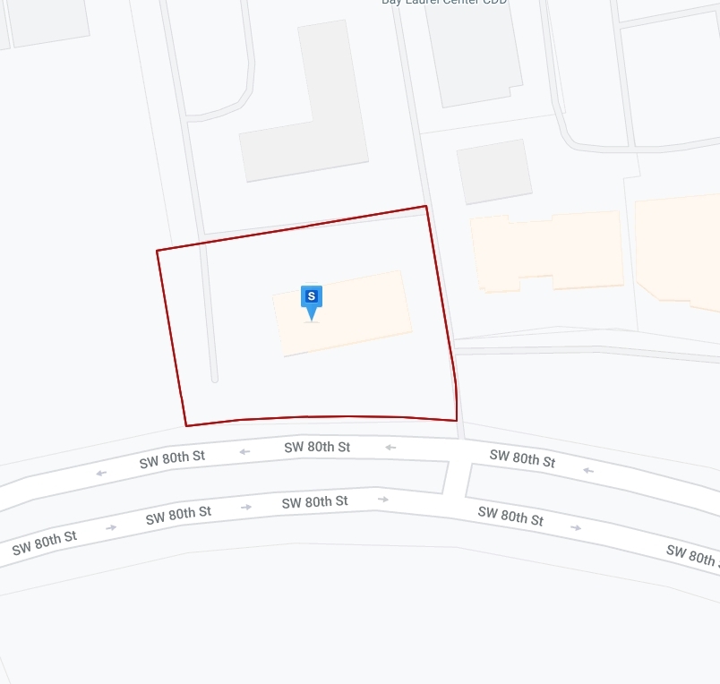
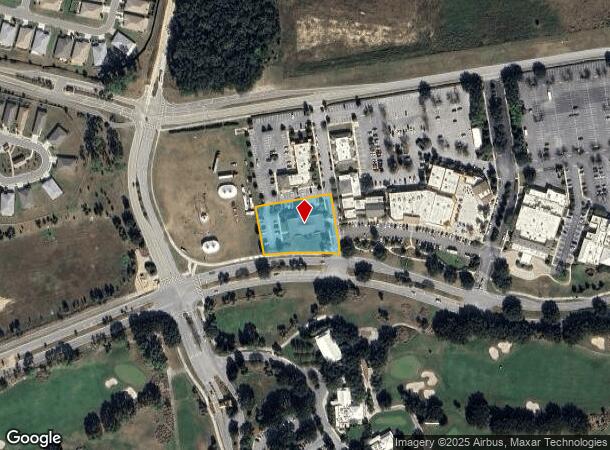
8445 Sw 80Th St, Ocala, FL 34481
NEARBY LISTINGS FOR SALE OR LEASE
Property Detail
8445 Sw 80Th St
Ocala, FL
Calesa Township Sorrel Glen 1
3530-001-003
SEC 13 TWP 16 RGE 20 PLAT BOOK 011 PAGE 140 CIRCLE SQUARE COMMONS REPLAT LOT 3
Officebuilding
Marion
X
Florida
12083C0682E
3
2023
1.09 AC
2023
Outlying Marion County
002605
Ocala
7,348 SF
DEMOGRAPHICS near 8445 Sw 80Th St
1 Mile
3 Mile
5 Mile
2024 Total Population
4,111
25,743
54,911
2029 Population
4,675
29,295
62,288
Pop Growth 2024-2029
+ 13.72%
+ 13.80%
+ 13.43%
Average Age
65
64
56
2024 Total Households
2,056
13,515
26,190
HH Growth 2024-2029
+ 13.76%
+ 13.78%
+ 13.34%
Median Household Inc
$54,649
$55,251
$59,431
Avg Household Size
1.90
1.90
2.10
2024 Avg HH Vehicles
1.00
1.00
2.00
Median Home Value
$257,972
$210,538
$211,612
Median Year Built
2004
1999
1999
Nearby Places
- Restaurants
- Banks
- Shops
- Fitness
- Groceries
Nearby Properties
Address
Land Use
TOTAL SIZE
Lot Size
Zoning
Address
Land Use
TOTAL SIZE
Lot Size
Zoning
62,253 SF
6.52 AC
PUD
Address
Land Use
TOTAL SIZE
Lot Size
Zoning
96,094 SF
13.66 AC
B2
Address
Land Use
TOTAL SIZE
Lot Size
Zoning
74,928 SF
7.80 AC
PUD
Address
Land Use
TOTAL SIZE
Lot Size
Zoning
95,496 SF
25.25 AC
R3
Address
Land Use
TOTAL SIZE
Lot Size
Zoning
18,035 SF
3.33 AC
B2
Address
Land Use
TOTAL SIZE
Lot Size
Zoning
101,312 SF
5,419.05 AC
A1
Address
Land Use
TOTAL SIZE
Lot Size
Zoning
139,728 SF
22.86 AC
B4
Address
Land Use
TOTAL SIZE
Lot Size
Zoning
7,677 SF
26.27 AC
B2
Address
Land Use
TOTAL SIZE
Lot Size
Zoning
98,205 SF
13.41 AC
B2
Address
Land Use
TOTAL SIZE
Lot Size
Zoning
65,060 SF
11.90 AC
B2
Address
Land Use
TOTAL SIZE
Lot Size
Zoning
42,159 SF
5.95 AC
B2
Address
Land Use
TOTAL SIZE
Lot Size
Zoning
42,673 SF
13.72 AC
A1
Address
Land Use
TOTAL SIZE
Lot Size
Zoning
48,518 SF
84.49 AC
A1
Address
Land Use
TOTAL SIZE
Lot Size
Zoning
58,381 SF
5.12 AC
R3
Address
Land Use
TOTAL SIZE
Lot Size
Zoning
68,180 SF
5.40 AC
B5
Address
Land Use
TOTAL SIZE
Lot Size
Zoning
82,465 SF
6.13 AC
B2
Address
Land Use
TOTAL SIZE
Lot Size
Zoning
47,600 SF
735.53 AC
PD
Address
Land Use
TOTAL SIZE
Lot Size
Zoning
47,378 SF
23.26 AC
A1
Address
Land Use
TOTAL SIZE
Lot Size
Zoning
25,128 SF
4.38 AC
PD
Address
Land Use
TOTAL SIZE
Lot Size
Zoning
13,943 SF
0.43 AC
B2
Address
Land Use
TOTAL SIZE
Lot Size
Zoning
286.80 AC
PUD
Address
Land Use
TOTAL SIZE
Lot Size
Zoning
27,862 SF
17.04 AC
A1
Address
Land Use
TOTAL SIZE
Lot Size
Zoning
37,213 SF
14.54 AC
A1
Address
Land Use
TOTAL SIZE
Lot Size
Zoning
38,062 SF
3.07 AC
B2
Address
Land Use
TOTAL SIZE
Lot Size
Zoning
35,280 SF
4.02 AC
B2
Address
Land Use
TOTAL SIZE
Lot Size
Zoning
45,364 SF
6.69 AC
B2
Address
Land Use
TOTAL SIZE
Lot Size
Zoning
16,308 SF
1.74 AC
B2
Address
Land Use
TOTAL SIZE
Lot Size
Zoning
21,753 SF
2.73 AC
PUD
Address
Land Use
TOTAL SIZE
Lot Size
Zoning
9,948 SF
0.33 AC
B2
The World's #1 Commercial Real Estate Marketplace
Connect with us
© 2025 CoStar Group
The information above has been obtained from sources believed reliable. While we do not doubt its accuracy we have not verified it and make no guarantee, warranty or representation about it. It is your responsibility to independently confirm its accuracy and completeness. Any projections, opinions, assumptions, or estimates used are for example only and do not represent the current or future performance of the property. The value of this transaction to you depends on tax and other factors which should be evaluated by your tax, financial, and legal advisors. You and your advisors should conduct a careful, independent investigation of the property to determine to your satisfaction the suitability of the property for your needs.