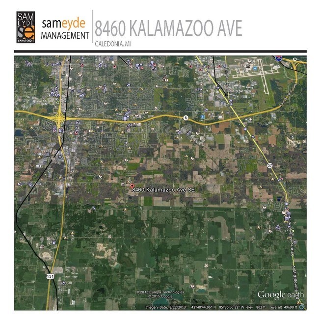
Property Record
8460 Kalamazoo Ave Se, Caledonia, MI 49316


NEARBY LISTINGS FOR SALE OR LEASE
-
-
View all Caledonia listings for lease on LoopNet.com
Property Detail
8460 Kalamazoo Ave Se
41-22-21-100-011
N 1/2 NW 1/4 EX N 240 FT OF W 240 FT & EX S 350 FT OF W 825 FT & EX E 495 FT ALSO N 1/2 S 1/2 NW 1/4 EX W 825 FT * SEC 21 T5N
Agriculturalland
Kent
X
Michigan
26005C0150G
85.87 AC
0
Byron/Gaines
2023
West Michigan
014803
Grand Rapids-Wyoming, MI
DEMOGRAPHICS near 8460 Kalamazoo Ave Se
1 Mile
3 Mile
5 Mile
2024 Total Population
665
19,029
80,206
2029 Population
667
19,279
81,153
Pop Growth 2024-2029
+ 0.30%
+ 1.31%
+ 1.18%
Average Age
37
39
38
2024 Total Households
223
6,553
28,895
HH Growth 2024-2029
+ 0.45%
+ 1.31%
+ 1.17%
Median Household Inc
$127,951
$95,639
$75,158
Avg Household Size
3.00
2.80
2.70
2024 Avg HH Vehicles
3.00
2.00
2.00
Median Home Value
$279,816
$285,244
$248,272
Median Year Built
1991
1992
1990
Nearby Places
Map Layers
Map Styles
 Street
 Aerial
- Restaurants
- Banks
- Shops
- Fitness
- Groceries
PUBLIC TRANSPORTATION
AIRPORT
Gerald R Ford International
DRIVE
WALK
Distance
Gerald R Ford International
18 min
9.9 mi
Freight Ports
Port Milwaukee
DRIVE
WALK
Distance
Port Milwaukee
308 min
263.7 mi
SALE & LEASE HISTORY
LISTING DATE
SALE/LEASE

Sep 25, 2016
For Lease
Sep 24, 2016
For Sale
Nearby Properties
Address
Land Use
TOTAL SIZE
Lot Size
Zoning
Address
Land Use
TOTAL SIZE
Lot Size
Zoning
490,769 SF
42.25 AC
B3
Address
Land Use
TOTAL SIZE
Lot Size
Zoning
48.43 AC
PUD-PL UNI
Address
Land Use
TOTAL SIZE
Lot Size
Zoning
25.05 AC
R3-MED RES
Address
Land Use
TOTAL SIZE
Lot Size
Zoning
58.30 AC
RA
Address
Land Use
TOTAL SIZE
Lot Size
Zoning
2,593 SF
18 AC
PUD-PL UNI
Address
Land Use
TOTAL SIZE
Lot Size
Zoning
229,572 SF
16.20 AC
PUD-PL UNI
Address
Land Use
TOTAL SIZE
Lot Size
Zoning
108,911 SF
10.80 AC
D1
Address
Land Use
TOTAL SIZE
Lot Size
Zoning
1,296 SF
12 AC
PUD-PL UNI
Address
Land Use
TOTAL SIZE
Lot Size
Zoning
140,742 SF
18.57 AC
D1
Address
Land Use
TOTAL SIZE
Lot Size
Zoning
49.29 AC
R4-MOBILE
Address
Land Use
TOTAL SIZE
Lot Size
Zoning
89,453 SF
9.12 AC
PUD-PL UNI
Address
Land Use
TOTAL SIZE
Lot Size
Zoning
Address
Land Use
TOTAL SIZE
Lot Size
Zoning
1.11 AC
PUD-PL UNI
Address
Land Use
TOTAL SIZE
Lot Size
Zoning
201,500 SF
11.98 AC
D1
Address
Land Use
TOTAL SIZE
Lot Size
Zoning
Address
Land Use
TOTAL SIZE
Lot Size
Zoning
205,000 SF
9.88 AC
D1
Address
Land Use
TOTAL SIZE
Lot Size
Zoning
4.74 AC
D1PUD
Address
Land Use
TOTAL SIZE
Lot Size
Zoning
58,201 SF
10.08 AC
PUD-PL UNI
Address
Land Use
TOTAL SIZE
Lot Size
Zoning
Address
Land Use
TOTAL SIZE
Lot Size
Zoning
18.08 AC
Address
Land Use
TOTAL SIZE
Lot Size
Zoning
Address
Land Use
TOTAL SIZE
Lot Size
Zoning
1,428 SF
7.75 AC
D1
Address
Land Use
TOTAL SIZE
Lot Size
Zoning
111,600 SF
Address
Land Use
TOTAL SIZE
Lot Size
Zoning
Address
Land Use
TOTAL SIZE
Lot Size
Zoning
39,746 SF
3.61 AC
PUD-PL UNI
Address
Land Use
TOTAL SIZE
Lot Size
Zoning
122,820 SF
9.92 AC
PUD-PL UNI
Address
Land Use
TOTAL SIZE
Lot Size
Zoning
3,050 SF
17.32 AC
RD
Address
Land Use
TOTAL SIZE
Lot Size
Zoning
54,968 SF
8.63 AC
RL-14 LOW
Address
Land Use
TOTAL SIZE
Lot Size
Zoning
9.38 AC
PUD-PL UNI
Address
Land Use
TOTAL SIZE
Lot Size
Zoning
90,207 SF
25.96 AC
D1
The World's #1 Commercial Real Estate Marketplace
Connect with us
© 2026 CoStar Group
The information above has been obtained from sources believed reliable. While we do not doubt its accuracy we have not verified it and make no guarantee, warranty or representation about it. It is your responsibility to independently confirm its accuracy and completeness. Any projections, opinions, assumptions, or estimates used are for example only and do not represent the current or future performance of the property. The value of this transaction to you depends on tax and other factors which should be evaluated by your tax, financial, and legal advisors. You and your advisors should conduct a careful, independent investigation of the property to determine to your satisfaction the suitability of the property for your needs.