Property Record
8475 Western Way, Jacksonville, FL 32256

NEARBY LISTINGS FOR SALE OR LEASE
Property Detail
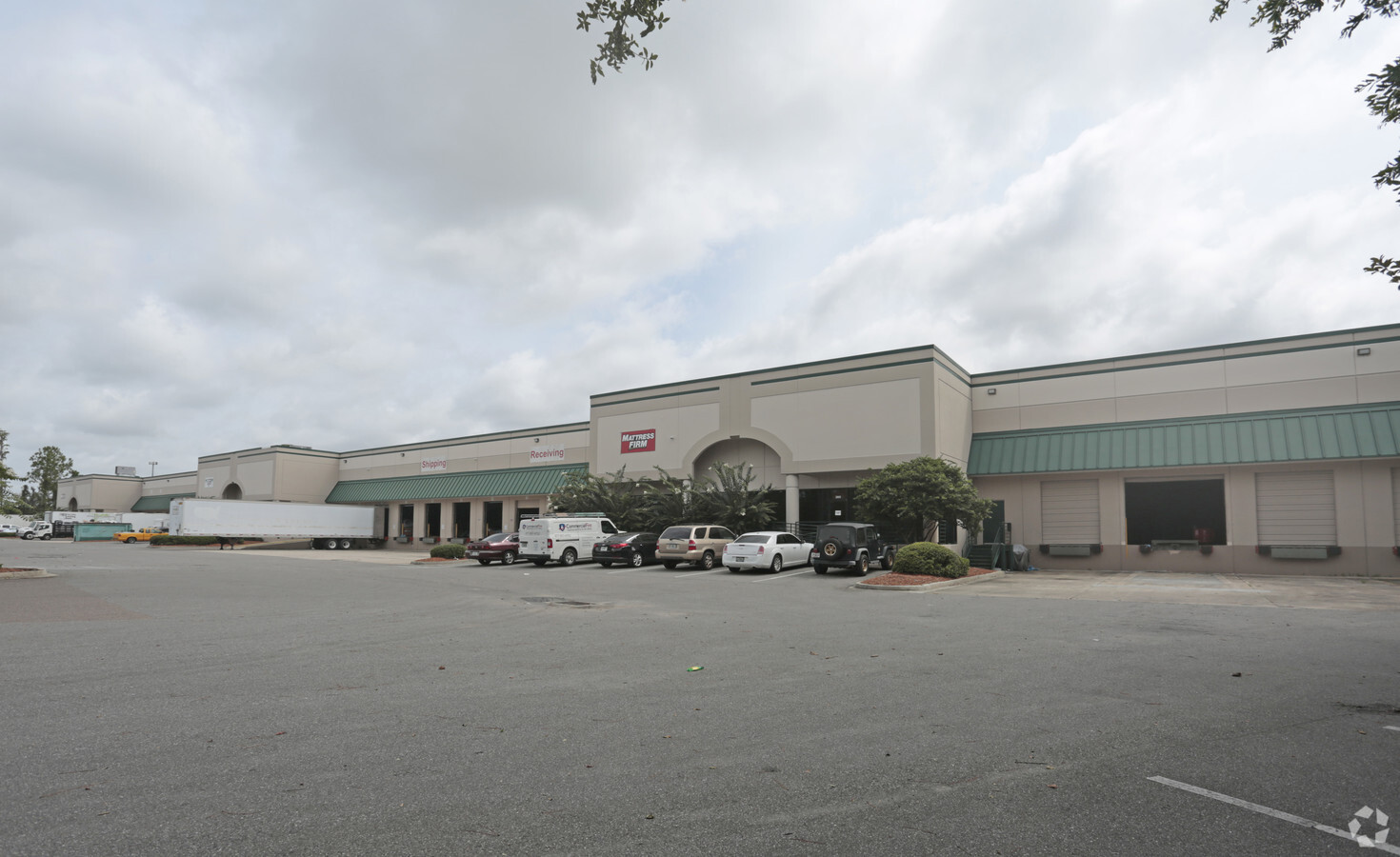
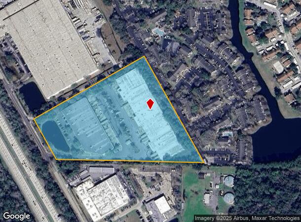
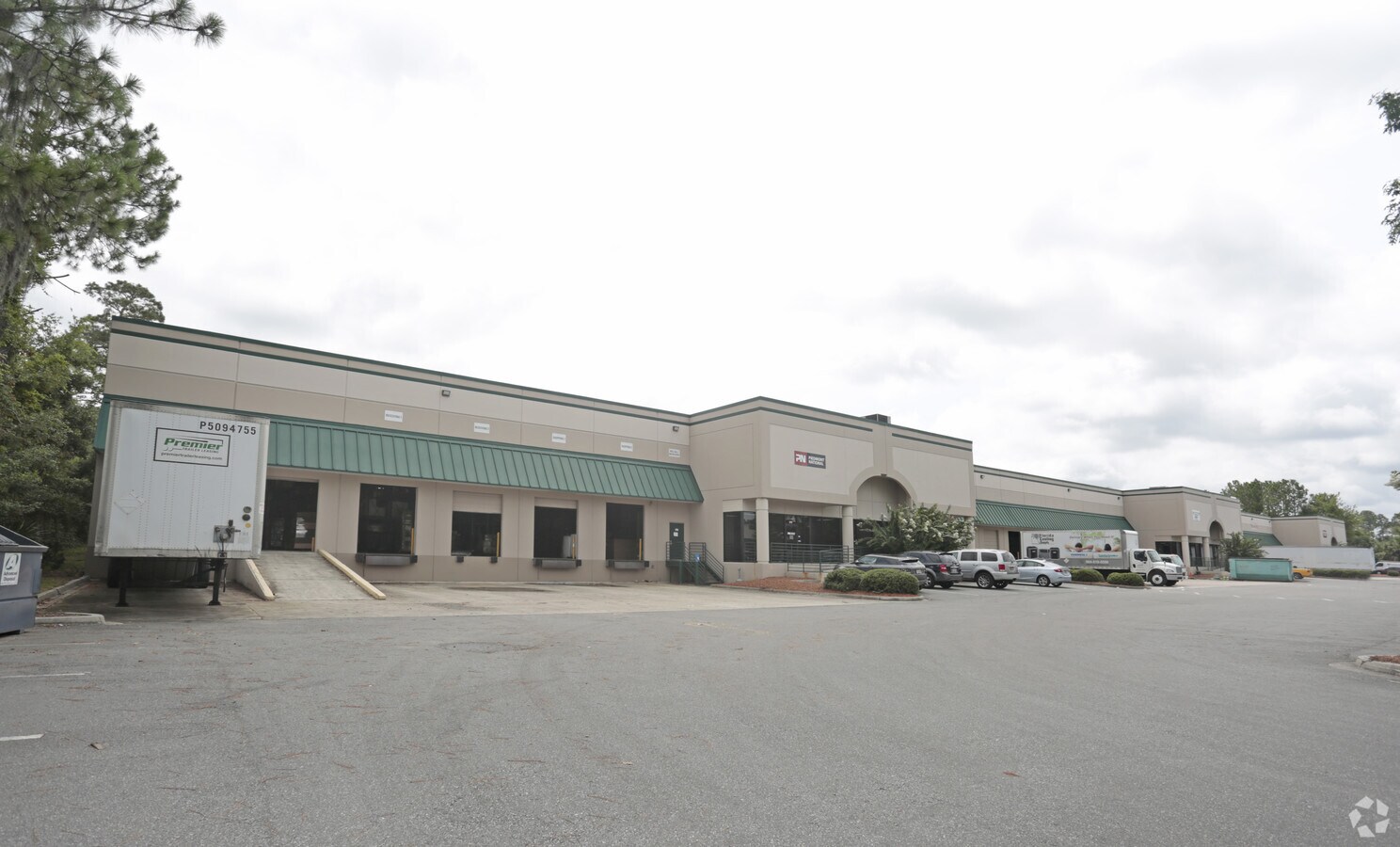
8475 Western Way
Jacksonville, FL
Section Land
152683-2000
26-3S-27E 11.12 PT GOVT LOT 2 RECD O/R 12391-1738
Warehouse
Duval
X
Florida
12031C0554H
2
2023
11.54 AC
2024
Butler Corridor
015922
Jacksonville (Florida)
187,347 SF
DEMOGRAPHICS near 8475 Western Way
1 Mile
3 Mile
5 Mile
2024 Total Population
13,977
75,350
177,883
2029 Population
14,977
79,527
187,123
Pop Growth 2024-2029
+ 7.15%
+ 5.54%
+ 5.19%
Average Age
36
38
39
2024 Total Households
7,203
33,987
76,790
HH Growth 2024-2029
+ 7.39%
+ 5.77%
+ 5.35%
Median Household Inc
$48,559
$67,085
$68,668
Avg Household Size
1.90
2.10
2.20
2024 Avg HH Vehicles
1.00
2.00
2.00
Median Home Value
$204,358
$284,725
$279,061
Median Year Built
1986
1993
1992
Nearby Places
- Restaurants
- Banks
- Shops
- Fitness
- Groceries
PUBLIC TRANSPORTATION
AIRPORT
Jacksonville International
DRIVE
WALK
Distance
Jacksonville International
39 min
25.3 mi
Freight Ports
Jacksonville Port
DRIVE
WALK
Distance
Jacksonville Port
23 min
13.8 mi
SALE & LEASE HISTORY
LISTING DATE
SALE/LEASE

Sep 25, 2016
For Lease
Oct 18, 2016
For Lease
Nearby Properties
Address
Land Use
TOTAL SIZE
Lot Size
Zoning
Address
Land Use
TOTAL SIZE
Lot Size
Zoning
1,037,304 SF
103.91 AC
PUD
Address
Land Use
TOTAL SIZE
Lot Size
Zoning
1,159,855 SF
89.44 AC
RMD-D
Address
Land Use
TOTAL SIZE
Lot Size
Zoning
1,013,318 SF
131.30 AC
PUD
Address
Land Use
TOTAL SIZE
Lot Size
Zoning
251,691 SF
17.51 AC
PUD
Address
Land Use
TOTAL SIZE
Lot Size
Zoning
478,012 SF
29.87 AC
PUD
Address
Land Use
TOTAL SIZE
Lot Size
Zoning
371,466 SF
49.16 AC
PBF-2
Address
Land Use
TOTAL SIZE
Lot Size
Zoning
419,299 SF
40.24 AC
PUD
Address
Land Use
TOTAL SIZE
Lot Size
Zoning
723,629 SF
18.30 AC
PUD
Address
Land Use
TOTAL SIZE
Lot Size
Zoning
810,921 SF
58.85 AC
PUD
Address
Land Use
TOTAL SIZE
Lot Size
Zoning
345,678 SF
30.40 AC
PUD
Address
Land Use
TOTAL SIZE
Lot Size
Zoning
293,072 SF
16.52 AC
PUD
Address
Land Use
TOTAL SIZE
Lot Size
Zoning
223,939 SF
13.28 AC
PUD
Address
Land Use
TOTAL SIZE
Lot Size
Zoning
276,424 SF
5.06 AC
PUD
Address
Land Use
TOTAL SIZE
Lot Size
Zoning
951,179 SF
56.79 AC
PUD
Address
Land Use
TOTAL SIZE
Lot Size
Zoning
273,196 SF
16.57 AC
PUD
Address
Land Use
TOTAL SIZE
Lot Size
Zoning
306,416 SF
12.27 AC
PUD
Address
Land Use
TOTAL SIZE
Lot Size
Zoning
341,849 SF
15 AC
PUD
Address
Land Use
TOTAL SIZE
Lot Size
Zoning
217,557 SF
14.72 AC
PUD
Address
Land Use
TOTAL SIZE
Lot Size
Zoning
446,326 SF
23.68 AC
RMD-D
Address
Land Use
TOTAL SIZE
Lot Size
Zoning
464,189 SF
44.85 AC
RMD-D
Address
Land Use
TOTAL SIZE
Lot Size
Zoning
383,228 SF
40.69 AC
PUD
Address
Land Use
TOTAL SIZE
Lot Size
Zoning
282,233 SF
13.70 AC
PUD
Address
Land Use
TOTAL SIZE
Lot Size
Zoning
380,690 SF
6.68 AC
PUD
Address
Land Use
TOTAL SIZE
Lot Size
Zoning
281,793 SF
17.43 AC
PUD
Address
Land Use
TOTAL SIZE
Lot Size
Zoning
358,537 SF
29.16 AC
RMD-C
Address
Land Use
TOTAL SIZE
Lot Size
Zoning
367,197 SF
42.36 AC
RMD-B
Address
Land Use
TOTAL SIZE
Lot Size
Zoning
193,941 SF
7.35 AC
PUD
Address
Land Use
TOTAL SIZE
Lot Size
Zoning
340,895 SF
14.24 AC
PUD
Address
Land Use
TOTAL SIZE
Lot Size
Zoning
282,193 SF
18.68 AC
RMD-D
Address
Land Use
TOTAL SIZE
Lot Size
Zoning
365,629 SF
23.23 AC
RMD-D
The World's #1 Commercial Real Estate Marketplace
Connect with us
© 2025 CoStar Group
The information above has been obtained from sources believed reliable. While we do not doubt its accuracy we have not verified it and make no guarantee, warranty or representation about it. It is your responsibility to independently confirm its accuracy and completeness. Any projections, opinions, assumptions, or estimates used are for example only and do not represent the current or future performance of the property. The value of this transaction to you depends on tax and other factors which should be evaluated by your tax, financial, and legal advisors. You and your advisors should conduct a careful, independent investigation of the property to determine to your satisfaction the suitability of the property for your needs.