Property Record
850 Hillcrest Green Dr, Lawrenceville, GA 30046


NEARBY LISTINGS FOR SALE OR LEASE
Property Detail
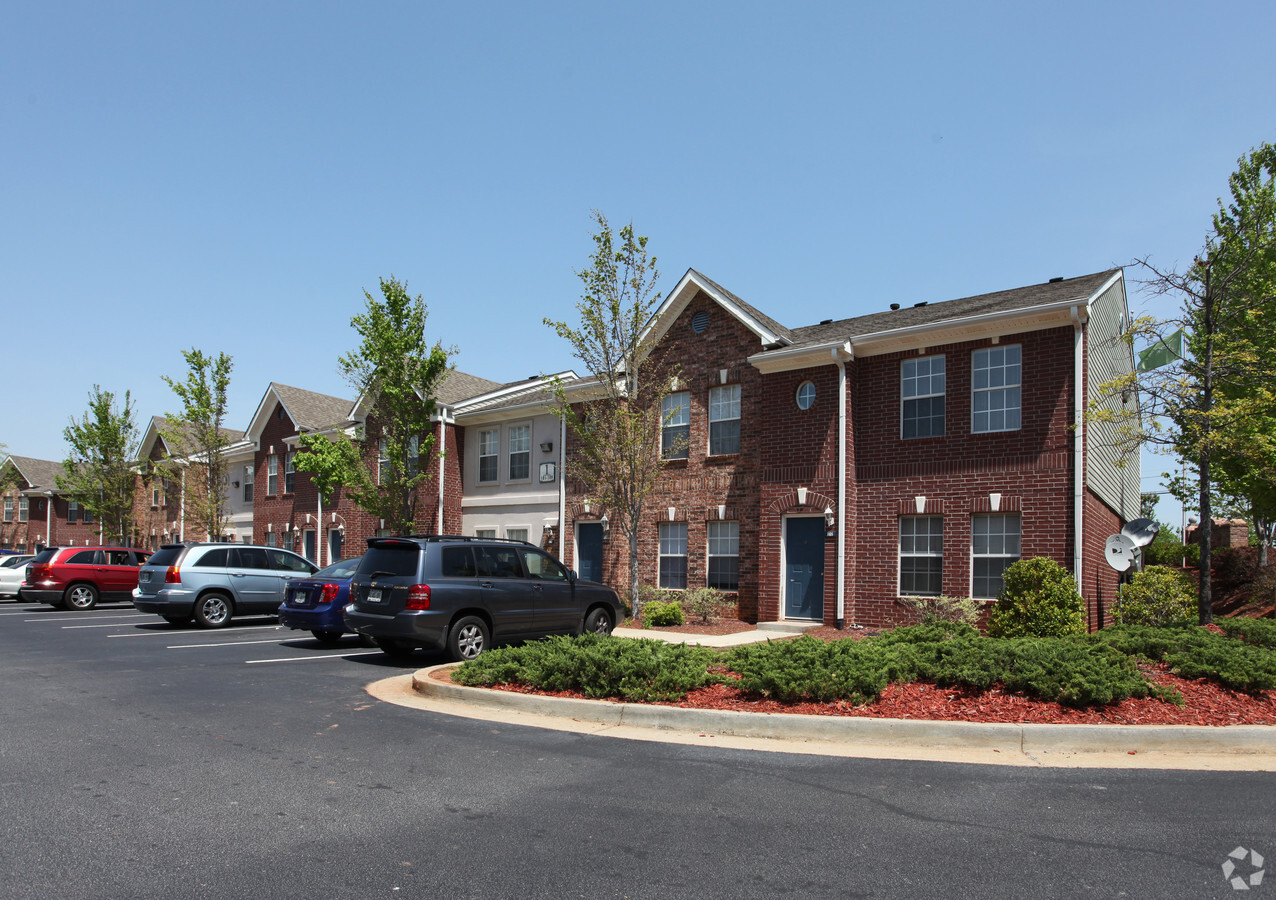
850 Hillcrest Green Dr
Atlanta-Sandy Springs-Roswell, GA
Greens At Hillcrest
7-010-084
L4 BA GREENS AT HILLCREST
Apartment
Gwinnett
X
Georgia
13135C0073F
4
2023
15.09 AC
2023
Downtown Lawrenceville
050564
Atlanta
213,116 SF
DEMOGRAPHICS near 850 Hillcrest Green Dr
1 Mile
3 Mile
5 Mile
2024 Total Population
8,422
75,828
209,101
2029 Population
8,845
78,958
217,895
Pop Growth 2024-2029
+ 5.02%
+ 4.13%
+ 4.21%
Average Age
32
37
37
2024 Total Households
3,068
24,857
68,023
HH Growth 2024-2029
+ 5.35%
+ 4.32%
+ 4.33%
Median Household Inc
$40,199
$68,513
$78,931
Avg Household Size
2.50
2.90
3.00
2024 Avg HH Vehicles
1.00
2.00
2.00
Median Home Value
$210,152
$279,493
$288,377
Median Year Built
1995
1993
1995
Nearby Places
- Restaurants
- Banks
- Shops
- Fitness
- Groceries
Nearby Properties
Address
Land Use
TOTAL SIZE
Lot Size
Zoning
Address
Land Use
TOTAL SIZE
Lot Size
Zoning
29,294 SF
24.24 AC
LM
Address
Land Use
TOTAL SIZE
Lot Size
Zoning
1,103,220 SF
66.65 AC
OI
Address
Land Use
TOTAL SIZE
Lot Size
Zoning
1,071,116 SF
74.52 AC
OI
Address
Land Use
TOTAL SIZE
Lot Size
Zoning
774,131 SF
159.36 AC
RS180
Address
Land Use
TOTAL SIZE
Lot Size
Zoning
493,072 SF
12.67 AC
BG
Address
Land Use
TOTAL SIZE
Lot Size
Zoning
641,171 SF
43.12 AC
RM13
Address
Land Use
TOTAL SIZE
Lot Size
Zoning
275,917 SF
13.34 AC
BG
Address
Land Use
TOTAL SIZE
Lot Size
Zoning
441,948 SF
91.78 AC
OI
Address
Land Use
TOTAL SIZE
Lot Size
Zoning
522,601 SF
42.40 AC
RM
Address
Land Use
TOTAL SIZE
Lot Size
Zoning
16,062 SF
89.78 AC
BG
Address
Land Use
TOTAL SIZE
Lot Size
Zoning
426,720 SF
38.98 AC
RM13
Address
Land Use
TOTAL SIZE
Lot Size
Zoning
188,749 SF
103.66 AC
RA200
Address
Land Use
TOTAL SIZE
Lot Size
Zoning
321,476 SF
38.63 AC
RMM
Address
Land Use
TOTAL SIZE
Lot Size
Zoning
834,948 SF
70.76 AC
HM
Address
Land Use
TOTAL SIZE
Lot Size
Zoning
298,990 SF
24.16 AC
OI
Address
Land Use
TOTAL SIZE
Lot Size
Zoning
231,746 SF
20.51 AC
RM13
Address
Land Use
TOTAL SIZE
Lot Size
Zoning
188,220 SF
21.43 AC
RM13
Address
Land Use
TOTAL SIZE
Lot Size
Zoning
242,492 SF
19.14 AC
RM13
Address
Land Use
TOTAL SIZE
Lot Size
Zoning
201,000 SF
29.98 AC
R75
Address
Land Use
TOTAL SIZE
Lot Size
Zoning
110,564 SF
7.76 AC
RM8
Address
Land Use
TOTAL SIZE
Lot Size
Zoning
223,012 SF
46.14 AC
R75
Address
Land Use
TOTAL SIZE
Lot Size
Zoning
93,022 SF
68.90 AC
R100
Address
Land Use
TOTAL SIZE
Lot Size
Zoning
812,946 SF
82.22 AC
BG
Address
Land Use
TOTAL SIZE
Lot Size
Zoning
153,597 SF
13.66 AC
RM13
Address
Land Use
TOTAL SIZE
Lot Size
Zoning
262,396 SF
4.57 AC
OI
Address
Land Use
TOTAL SIZE
Lot Size
Zoning
179,498 SF
6.05 AC
HSB
Address
Land Use
TOTAL SIZE
Lot Size
Zoning
393,811 SF
66.81 AC
M1
Address
Land Use
TOTAL SIZE
Lot Size
Zoning
278,350 SF
35.62 AC
C2
Address
Land Use
TOTAL SIZE
Lot Size
Zoning
126,160 SF
15.15 AC
BG
Address
Land Use
TOTAL SIZE
Lot Size
Zoning
357,652 SF
22.03 AC
HM-HEAVY M
The World's #1 Commercial Real Estate Marketplace
Connect with us
© 2025 CoStar Group
The information above has been obtained from sources believed reliable. While we do not doubt its accuracy we have not verified it and make no guarantee, warranty or representation about it. It is your responsibility to independently confirm its accuracy and completeness. Any projections, opinions, assumptions, or estimates used are for example only and do not represent the current or future performance of the property. The value of this transaction to you depends on tax and other factors which should be evaluated by your tax, financial, and legal advisors. You and your advisors should conduct a careful, independent investigation of the property to determine to your satisfaction the suitability of the property for your needs.