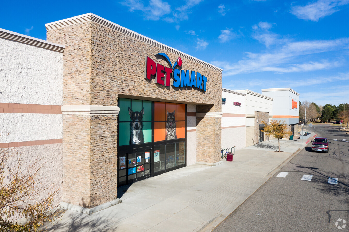
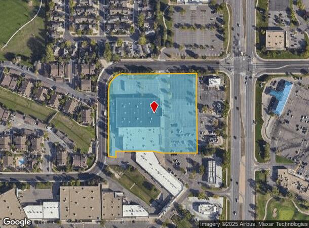
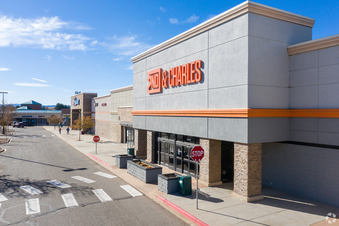
Property Record
8500 W Crestline Ave, Littleton, CO 80123

NEARBY LISTINGS FOR SALE OR LEASE
Property Detail
8500 W Crestline Ave
Denver-Aurora-Lakewood, CO
Southwest Commons
9154-00-012
PORTION LOT1 BLK2
Commercialbuilding
Denver
X
Colorado
0800460252H
1
2023
5.76 AC
2023
Southwest
0120103012
Denver
94,577 SF
DEMOGRAPHICS near 8500 W Crestline Ave
1 Mile
3 Mile
5 Mile
2024 Total Population
12,663
104,098
230,794
2029 Population
12,625
102,991
228,602
Pop Growth 2024-2029
(0.30%)
(1.06%)
(0.95%)
Average Age
43
42
42
2024 Total Households
5,509
41,165
92,529
HH Growth 2024-2029
(0.42%)
(1.08%)
(0.99%)
Median Household Inc
$93,629
$100,747
$96,380
Avg Household Size
2.20
2.40
2.40
2024 Avg HH Vehicles
2.00
2.00
2.00
Median Home Value
$497,925
$535,739
$536,497
Median Year Built
1989
1985
1982
Nearby Places
- Restaurants
- Banks
- Shops
- Fitness
- Groceries
PUBLIC TRANSPORTATION
AIRPORT
Denver International
DRIVE
WALK
Distance
Denver International
52 min
37.4 mi
Freight Ports
Tulsa Port Of Catoosa
DRIVE
WALK
Distance
Tulsa Port Of Catoosa
748 min
720.1 mi
SALE & LEASE HISTORY
LISTING DATE
SALE/LEASE

Sep 25, 2016
For Lease
Nearby Properties
Address
Land Use
TOTAL SIZE
Lot Size
Zoning
Address
Land Use
TOTAL SIZE
Lot Size
Zoning
665,722 SF
615.84 AC
OS-B
Address
Land Use
TOTAL SIZE
Lot Size
Zoning
918 SF
1,492.98 AC
A2
Address
Land Use
TOTAL SIZE
Lot Size
Zoning
272,246 SF
31.76 AC
PD
Address
Land Use
TOTAL SIZE
Lot Size
Zoning
255,381 SF
16.52 AC
Address
Land Use
TOTAL SIZE
Lot Size
Zoning
381,135 SF
35.02 AC
Address
Land Use
TOTAL SIZE
Lot Size
Zoning
600,847 SF
32.41 AC
PD
Address
Land Use
TOTAL SIZE
Lot Size
Zoning
452,193 SF
12.56 AC
Address
Land Use
TOTAL SIZE
Lot Size
Zoning
391,595 SF
27.94 AC
Address
Land Use
TOTAL SIZE
Lot Size
Zoning
446,582 SF
19.24 AC
Address
Land Use
TOTAL SIZE
Lot Size
Zoning
178,421 SF
12.31 AC
PD
Address
Land Use
TOTAL SIZE
Lot Size
Zoning
293,292 SF
13.78 AC
PUD
Address
Land Use
TOTAL SIZE
Lot Size
Zoning
63,347 SF
20.70 AC
Address
Land Use
TOTAL SIZE
Lot Size
Zoning
304,475 SF
22.32 AC
Address
Land Use
TOTAL SIZE
Lot Size
Zoning
123,843 SF
6.03 AC
Address
Land Use
TOTAL SIZE
Lot Size
Zoning
329,538 SF
14.64 AC
B-4
Address
Land Use
TOTAL SIZE
Lot Size
Zoning
296,034 SF
14.26 AC
R-2-A
Address
Land Use
TOTAL SIZE
Lot Size
Zoning
325.96 AC
Address
Land Use
TOTAL SIZE
Lot Size
Zoning
189,672 SF
16.74 AC
PD
Address
Land Use
TOTAL SIZE
Lot Size
Zoning
224,595 SF
14.66 AC
Address
Land Use
TOTAL SIZE
Lot Size
Zoning
94,367 SF
10.02 AC
R-2
Address
Land Use
TOTAL SIZE
Lot Size
Zoning
294,876 SF
12.25 AC
Address
Land Use
TOTAL SIZE
Lot Size
Zoning
133,594 SF
25.03 AC
Address
Land Use
TOTAL SIZE
Lot Size
Zoning
85,580 SF
12.54 AC
Address
Land Use
TOTAL SIZE
Lot Size
Zoning
151,602 SF
38.93 AC
Address
Land Use
TOTAL SIZE
Lot Size
Zoning
221,819 SF
33.64 AC
A1
Address
Land Use
TOTAL SIZE
Lot Size
Zoning
183,858 SF
9.30 AC
PUD
Address
Land Use
TOTAL SIZE
Lot Size
Zoning
101,795 SF
12.61 AC
PD
Address
Land Use
TOTAL SIZE
Lot Size
Zoning
105,093 SF
9.32 AC
B-2
Address
Land Use
TOTAL SIZE
Lot Size
Zoning
80,798 SF
12.27 AC
PD
Address
Land Use
TOTAL SIZE
Lot Size
Zoning
360 AC
CO
The World's #1 Commercial Real Estate Marketplace
Connect with us
© 2025 CoStar Group
The information above has been obtained from sources believed reliable. While we do not doubt its accuracy we have not verified it and make no guarantee, warranty or representation about it. It is your responsibility to independently confirm its accuracy and completeness. Any projections, opinions, assumptions, or estimates used are for example only and do not represent the current or future performance of the property. The value of this transaction to you depends on tax and other factors which should be evaluated by your tax, financial, and legal advisors. You and your advisors should conduct a careful, independent investigation of the property to determine to your satisfaction the suitability of the property for your needs.