Property Record
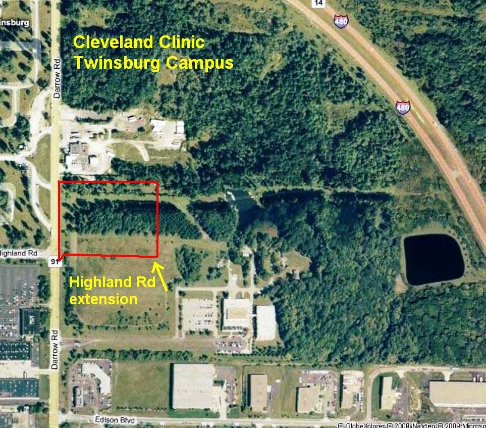
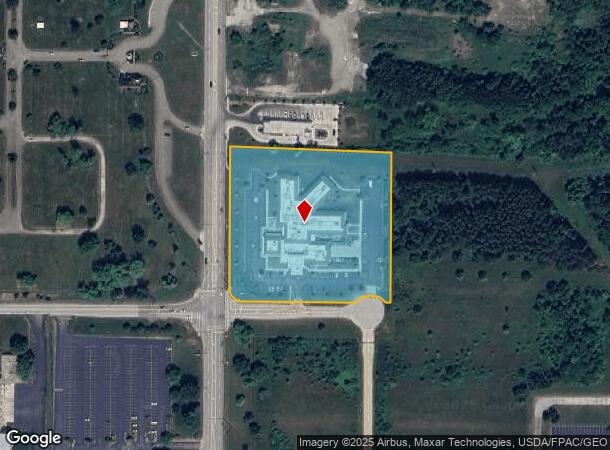
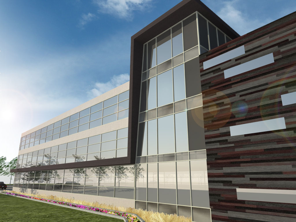
8551 Darrow Rd, Twinsburg, OH 44087
NEARBY LISTINGS FOR SALE OR LEASE
Property Detail
8551 Darrow Rd
Akron, OH
Twinsburg
64-08387
TR 3 LOT 15 E OF DARROW RD 4.8624 AC
Hospitalprivate
Summit
X
Ohio
39153C0062F
15
2023
4.86 AC
2024
Akron
530105
Cleveland
65,268 SF
DEMOGRAPHICS near 8551 Darrow Rd
1 Mile
3 Mile
5 Mile
2024 Total Population
348
25,752
83,929
2029 Population
344
25,297
82,941
Pop Growth 2024-2029
(1.15%)
(1.77%)
(1.18%)
Average Age
48
42
43
2024 Total Households
132
9,737
32,323
HH Growth 2024-2029
(1.52%)
(1.74%)
(1.18%)
Median Household Inc
$86,458
$108,584
$110,793
Avg Household Size
2.30
2.60
2.50
2024 Avg HH Vehicles
2.00
2.00
2.00
Median Home Value
$350,000
$320,733
$311,312
Median Year Built
1991
1987
1988
Nearby Places
- Restaurants
- Banks
- Shops
- Fitness
- Groceries
PUBLIC TRANSPORTATION
COMMUTER RAIL
Boston Mill (National Park Scenic Railway - Cuyahoga Valley Scenic Railroad)
DRIVE
WALK
Distance
Boston Mill (National Park Scenic Railway - Cuyahoga Valley Scenic Railroad)
21 min
9.4 mi
AIRPORT
Cleveland-Hopkins International
DRIVE
WALK
Distance
Cleveland-Hopkins International
42 min
29.5 mi
Akron-Canton Regional
DRIVE
WALK
Distance
Akron-Canton Regional
46 min
31.3 mi
Freight Ports
Port of Toledo
DRIVE
WALK
Distance
Port of Toledo
156 min
130.4 mi
Nearby Properties
Address
Land Use
TOTAL SIZE
Lot Size
Zoning
Address
Land Use
TOTAL SIZE
Lot Size
Zoning
315,935 SF
44.94 AC
Address
Land Use
TOTAL SIZE
Lot Size
Zoning
73,902 SF
12.85 AC
Address
Land Use
TOTAL SIZE
Lot Size
Zoning
325,774 SF
57.80 AC
Address
Land Use
TOTAL SIZE
Lot Size
Zoning
300,563 SF
32.51 AC
Address
Land Use
TOTAL SIZE
Lot Size
Zoning
Address
Land Use
TOTAL SIZE
Lot Size
Zoning
270,968 SF
21.68 AC
Address
Land Use
TOTAL SIZE
Lot Size
Zoning
60,305 SF
57.84 AC
Address
Land Use
TOTAL SIZE
Lot Size
Zoning
342,068 SF
29.02 AC
Address
Land Use
TOTAL SIZE
Lot Size
Zoning
418,992 SF
27.87 AC
Address
Land Use
TOTAL SIZE
Lot Size
Zoning
290,113 SF
15.05 AC
Address
Land Use
TOTAL SIZE
Lot Size
Zoning
61,438 SF
7.50 AC
Address
Land Use
TOTAL SIZE
Lot Size
Zoning
353,200 SF
25.60 AC
Address
Land Use
TOTAL SIZE
Lot Size
Zoning
111,145 SF
39.21 AC
Address
Land Use
TOTAL SIZE
Lot Size
Zoning
73,753 SF
17 AC
Address
Land Use
TOTAL SIZE
Lot Size
Zoning
136,800 SF
7.86 AC
Address
Land Use
TOTAL SIZE
Lot Size
Zoning
Address
Land Use
TOTAL SIZE
Lot Size
Zoning
235,200 SF
19.57 AC
Address
Land Use
TOTAL SIZE
Lot Size
Zoning
300,900 SF
10.39 AC
Address
Land Use
TOTAL SIZE
Lot Size
Zoning
204,490 SF
14.52 AC
Address
Land Use
TOTAL SIZE
Lot Size
Zoning
254,828 SF
15.41 AC
Address
Land Use
TOTAL SIZE
Lot Size
Zoning
137,743 SF
28.51 AC
Address
Land Use
TOTAL SIZE
Lot Size
Zoning
263,607 SF
14.69 AC
Address
Land Use
TOTAL SIZE
Lot Size
Zoning
Address
Land Use
TOTAL SIZE
Lot Size
Zoning
211,548 SF
14.01 AC
Address
Land Use
TOTAL SIZE
Lot Size
Zoning
47,460 SF
11.69 AC
Address
Land Use
TOTAL SIZE
Lot Size
Zoning
358,135 SF
35.67 AC
Address
Land Use
TOTAL SIZE
Lot Size
Zoning
146,205 SF
99.38 AC
Address
Land Use
TOTAL SIZE
Lot Size
Zoning
239,248 SF
22.62 AC
Address
Land Use
TOTAL SIZE
Lot Size
Zoning
37,484 SF
9.98 AC
Address
Land Use
TOTAL SIZE
Lot Size
Zoning
360,774 SF
32.85 AC
The World's #1 Commercial Real Estate Marketplace
Connect with us
© 2025 CoStar Group
The information above has been obtained from sources believed reliable. While we do not doubt its accuracy we have not verified it and make no guarantee, warranty or representation about it. It is your responsibility to independently confirm its accuracy and completeness. Any projections, opinions, assumptions, or estimates used are for example only and do not represent the current or future performance of the property. The value of this transaction to you depends on tax and other factors which should be evaluated by your tax, financial, and legal advisors. You and your advisors should conduct a careful, independent investigation of the property to determine to your satisfaction the suitability of the property for your needs.