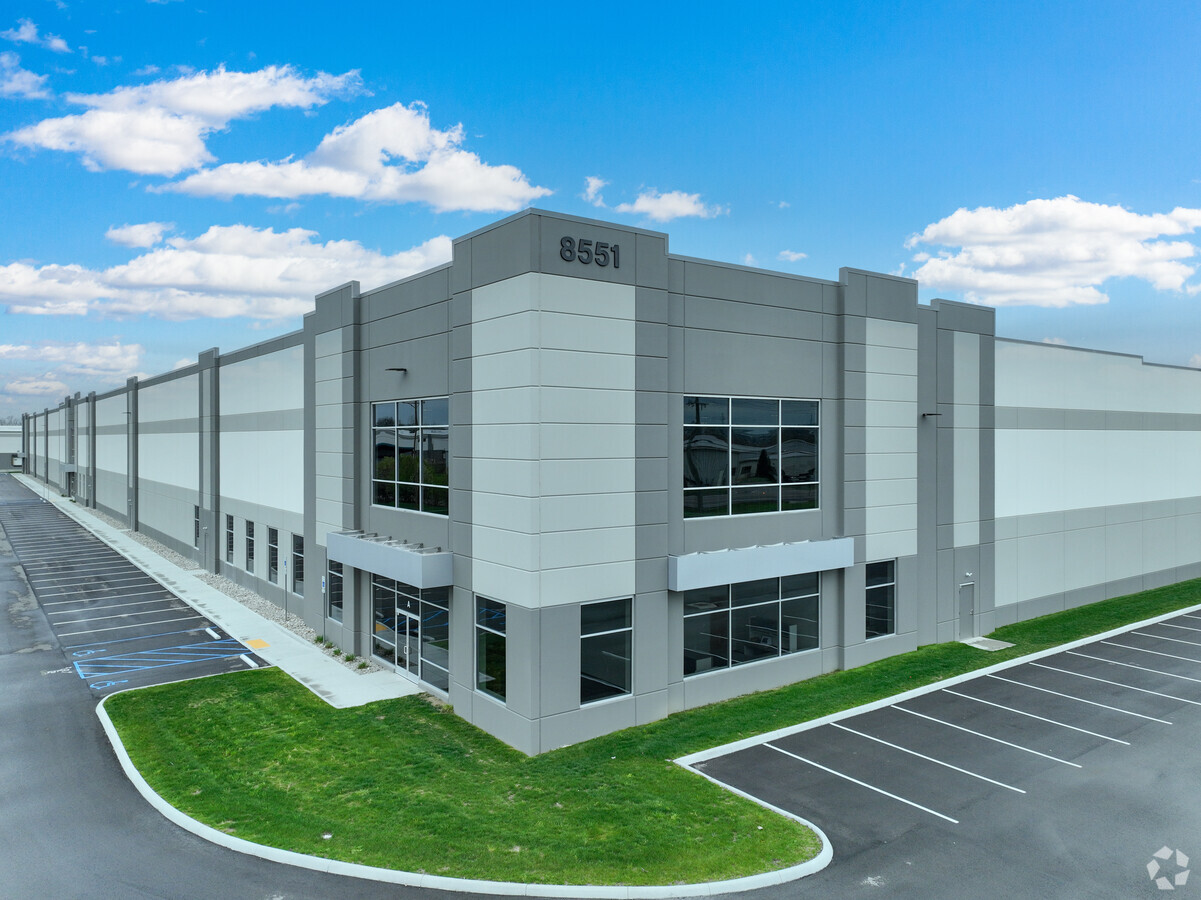
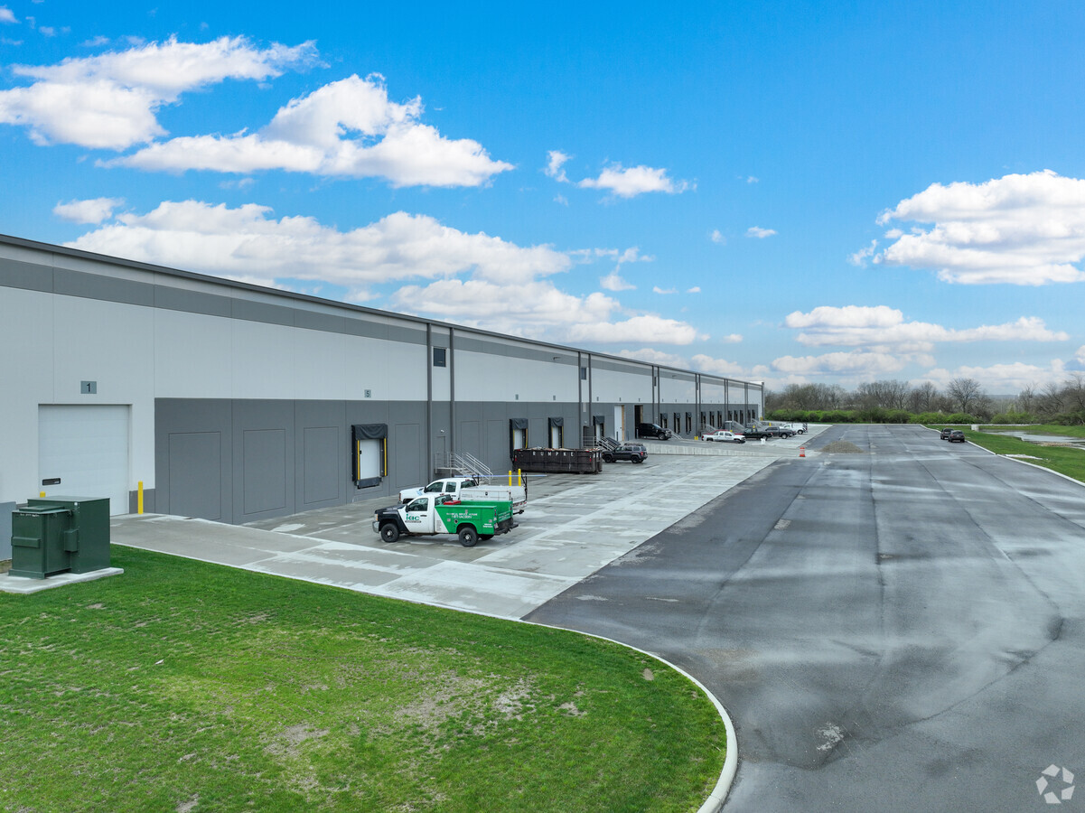
Property Record
8551 Seward Rd, Fairfield, OH 45011
NEARBY LISTINGS FOR SALE OR LEASE
-
-
View all Fairfield listings for lease on LoopNet.com
Property Detail
8551 Seward Rd
Cincinnati, OH-KY-IN
Fairfield
A0700-151-000-077
14205 ENT SEWARD POINT INDUSTRIAL SEE TAXABLE PCL 096 SEE TIF PCL 096T - FF NORTHEAST-FAIRFIELD TIF
Stripcommercialcenter
Butler
AE
Ohio
39017C0326F
13.70 AC
2022
Tri-County
2024
Cincinnati/Dayton
011006
DEMOGRAPHICS near 8551 Seward Rd
1 Mile
3 Mile
5 Mile
2024 Total Population
559
55,508
173,345
2029 Population
569
56,944
175,508
Pop Growth 2024-2029
+ 1.79%
+ 2.59%
+ 1.25%
Average Age
35
39
39
2024 Total Households
163
21,994
65,447
HH Growth 2024-2029
+ 1.84%
+ 2.91%
+ 1.35%
Median Household Inc
$148,610
$69,653
$73,316
Avg Household Size
3.40
2.40
2.60
2024 Avg HH Vehicles
2.00
2.00
2.00
Median Home Value
$270,192
$217,853
$205,659
Median Year Built
2005
1990
1980
Nearby Places
- Restaurants
- Banks
- Shops
- Fitness
- Groceries
PUBLIC TRANSPORTATION
AIRPORT
Cincinnati/Northern Kentucky International
DRIVE
WALK
Distance
Cincinnati/Northern Kentucky International
65 min
40.3 mi
Freight Ports
Port of Toledo
DRIVE
WALK
Distance
Port of Toledo
224 min
189.4 mi
SALE & LEASE HISTORY
LISTING DATE
SALE/LEASE

Jun 23, 2022
For Lease
Nearby Properties
Address
Land Use
TOTAL SIZE
Lot Size
Zoning
Address
Land Use
TOTAL SIZE
Lot Size
Zoning
14.64 AC
Address
Land Use
TOTAL SIZE
Lot Size
Zoning
510,080 SF
60.87 AC
Address
Land Use
TOTAL SIZE
Lot Size
Zoning
283,527 SF
28.17 AC
Address
Land Use
TOTAL SIZE
Lot Size
Zoning
317,472 SF
23.73 AC
Address
Land Use
TOTAL SIZE
Lot Size
Zoning
287,433 SF
23.36 AC
Address
Land Use
TOTAL SIZE
Lot Size
Zoning
Address
Land Use
TOTAL SIZE
Lot Size
Zoning
310,074 SF
21.65 AC
Address
Land Use
TOTAL SIZE
Lot Size
Zoning
86,445 SF
17.49 AC
Address
Land Use
TOTAL SIZE
Lot Size
Zoning
30.51 AC
Address
Land Use
TOTAL SIZE
Lot Size
Zoning
50,753 SF
19.74 AC
Address
Land Use
TOTAL SIZE
Lot Size
Zoning
1.38 AC
Address
Land Use
TOTAL SIZE
Lot Size
Zoning
231,839 SF
11.37 AC
Address
Land Use
TOTAL SIZE
Lot Size
Zoning
215,969 SF
16.08 AC
ADV
Address
Land Use
TOTAL SIZE
Lot Size
Zoning
178,152 SF
63.48 AC
Address
Land Use
TOTAL SIZE
Lot Size
Zoning
311,446 SF
19.31 AC
Address
Land Use
TOTAL SIZE
Lot Size
Zoning
147,898 SF
15.34 AC
Address
Land Use
TOTAL SIZE
Lot Size
Zoning
124,549 SF
9.75 AC
Address
Land Use
TOTAL SIZE
Lot Size
Zoning
11.84 AC
Address
Land Use
TOTAL SIZE
Lot Size
Zoning
85,587 SF
7.67 AC
Address
Land Use
TOTAL SIZE
Lot Size
Zoning
32,000 SF
10.24 AC
Address
Land Use
TOTAL SIZE
Lot Size
Zoning
220,612 SF
1.79 AC
Address
Land Use
TOTAL SIZE
Lot Size
Zoning
446,660 SF
30.51 AC
Address
Land Use
TOTAL SIZE
Lot Size
Zoning
215,696 SF
27.32 AC
Address
Land Use
TOTAL SIZE
Lot Size
Zoning
Address
Land Use
TOTAL SIZE
Lot Size
Zoning
75,402 SF
0.45 AC
Address
Land Use
TOTAL SIZE
Lot Size
Zoning
225,687 SF
22.43 AC
Address
Land Use
TOTAL SIZE
Lot Size
Zoning
111,418 SF
9.44 AC
Address
Land Use
TOTAL SIZE
Lot Size
Zoning
203,940 SF
11.01 AC
Address
Land Use
TOTAL SIZE
Lot Size
Zoning
64,342 SF
16.12 AC
ADV
The World's #1 Commercial Real Estate Marketplace
Connect with us
© 2025 CoStar Group
The information above has been obtained from sources believed reliable. While we do not doubt its accuracy we have not verified it and make no guarantee, warranty or representation about it. It is your responsibility to independently confirm its accuracy and completeness. Any projections, opinions, assumptions, or estimates used are for example only and do not represent the current or future performance of the property. The value of this transaction to you depends on tax and other factors which should be evaluated by your tax, financial, and legal advisors. You and your advisors should conduct a careful, independent investigation of the property to determine to your satisfaction the suitability of the property for your needs.