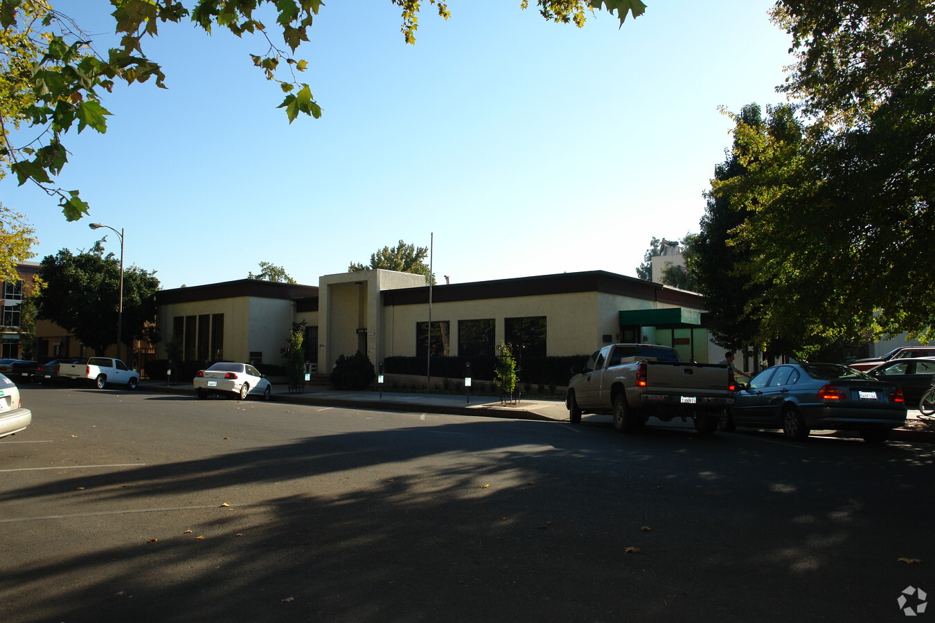
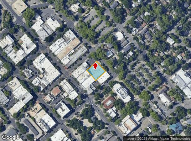
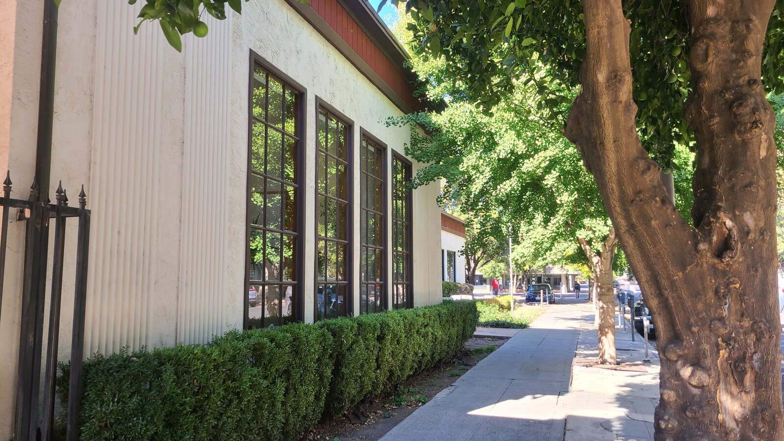
Property Record
330 Wall St, Chico, CA 95928
NEARBY LISTINGS FOR SALE OR LEASE
Property Detail
330 Wall St
Chico, CA
Chico
004-152-004-000
330 WALL ST.
Financialbuilding
Butte
X
California
06007C0502E
2,3
2024
0.40 AC
2024
Downtown Chico
001000
Other Market Areas
13,000 SF
DEMOGRAPHICS near 330 Wall St
1 Mile
3 Mile
5 Mile
2024 Total Population
19,456
85,368
105,095
2029 Population
18,657
81,479
100,511
Pop Growth 2024-2029
(4.11%)
(4.56%)
(4.36%)
Average Age
31
37
37
2024 Total Households
7,805
35,073
42,982
HH Growth 2024-2029
(4.30%)
(4.77%)
(4.56%)
Median Household Inc
$43,234
$64,446
$68,769
Avg Household Size
2.20
2.30
2.30
2024 Avg HH Vehicles
2.00
2.00
2.00
Median Home Value
$379,481
$401,463
$425,819
Median Year Built
1962
1979
1982
Nearby Places
- Restaurants
- Banks
- Shops
- Fitness
- Groceries
PUBLIC TRANSPORTATION
COMMUTER RAIL
Chico Amtrak (Coast Starlight - Amtrak)
DRIVE
WALK
Distance
Chico Amtrak (Coast Starlight - Amtrak)
2 min
12 min
0.7 mi
Freight Ports
Port of Stockton
DRIVE
WALK
Distance
Port of Stockton
160 min
132.2 mi
SALE & LEASE HISTORY
LISTING DATE
SALE/LEASE

Nov 09, 2020
For Lease
Dec 11, 2017
For Lease
Nearby Properties
Address
Land Use
TOTAL SIZE
Lot Size
Zoning
Address
Land Use
TOTAL SIZE
Lot Size
Zoning
150,000 SF
2.31 AC
Address
Land Use
TOTAL SIZE
Lot Size
Zoning
135,668 SF
3.43 AC
PQ
Address
Land Use
TOTAL SIZE
Lot Size
Zoning
194,612 SF
4.72 AC
R3
Address
Land Use
TOTAL SIZE
Lot Size
Zoning
58,013 SF
7.08 AC
TND
Address
Land Use
TOTAL SIZE
Lot Size
Zoning
8.55 AC
R3
Address
Land Use
TOTAL SIZE
Lot Size
Zoning
32,880 SF
25.36 AC
Address
Land Use
TOTAL SIZE
Lot Size
Zoning
90,859 SF
5.60 AC
PQ
Address
Land Use
TOTAL SIZE
Lot Size
Zoning
20,643 SF
3.32 AC
TND
Address
Land Use
TOTAL SIZE
Lot Size
Zoning
185,744 SF
10.15 AC
Address
Land Use
TOTAL SIZE
Lot Size
Zoning
84,280 SF
1.60 AC
R4
Address
Land Use
TOTAL SIZE
Lot Size
Zoning
126,476 SF
6.75 AC
R3
Address
Land Use
TOTAL SIZE
Lot Size
Zoning
104,992 SF
5.64 AC
CN
Address
Land Use
TOTAL SIZE
Lot Size
Zoning
133,120 SF
5.37 AC
R3
Address
Land Use
TOTAL SIZE
Lot Size
Zoning
61,571 SF
6.47 AC
Address
Land Use
TOTAL SIZE
Lot Size
Zoning
141,333 SF
7.08 AC
Address
Land Use
TOTAL SIZE
Lot Size
Zoning
13,459 SF
3.61 AC
Address
Land Use
TOTAL SIZE
Lot Size
Zoning
1.58 AC
Address
Land Use
TOTAL SIZE
Lot Size
Zoning
247,613 SF
10.77 AC
CR
Address
Land Use
TOTAL SIZE
Lot Size
Zoning
160,214 SF
13.50 AC
Address
Land Use
TOTAL SIZE
Lot Size
Zoning
160,354 SF
11.39 AC
00
Address
Land Use
TOTAL SIZE
Lot Size
Zoning
175,392 SF
14.83 AC
Address
Land Use
TOTAL SIZE
Lot Size
Zoning
83,886 SF
4.55 AC
Address
Land Use
TOTAL SIZE
Lot Size
Zoning
16,020 SF
12.01 AC
Address
Land Use
TOTAL SIZE
Lot Size
Zoning
21,216 SF
9.60 AC
CC
Address
Land Use
TOTAL SIZE
Lot Size
Zoning
44,492 SF
2.05 AC
R3
Address
Land Use
TOTAL SIZE
Lot Size
Zoning
158,426 SF
16.19 AC
M1
Address
Land Use
TOTAL SIZE
Lot Size
Zoning
92,292 SF
5.14 AC
Address
Land Use
TOTAL SIZE
Lot Size
Zoning
18,809 SF
13.55 AC
Address
Land Use
TOTAL SIZE
Lot Size
Zoning
3.30 AC
CR
Address
Land Use
TOTAL SIZE
Lot Size
Zoning
135,234 SF
17.91 AC
The World's #1 Commercial Real Estate Marketplace
Connect with us
© 2025 CoStar Group
The information above has been obtained from sources believed reliable. While we do not doubt its accuracy we have not verified it and make no guarantee, warranty or representation about it. It is your responsibility to independently confirm its accuracy and completeness. Any projections, opinions, assumptions, or estimates used are for example only and do not represent the current or future performance of the property. The value of this transaction to you depends on tax and other factors which should be evaluated by your tax, financial, and legal advisors. You and your advisors should conduct a careful, independent investigation of the property to determine to your satisfaction the suitability of the property for your needs.