Property Record
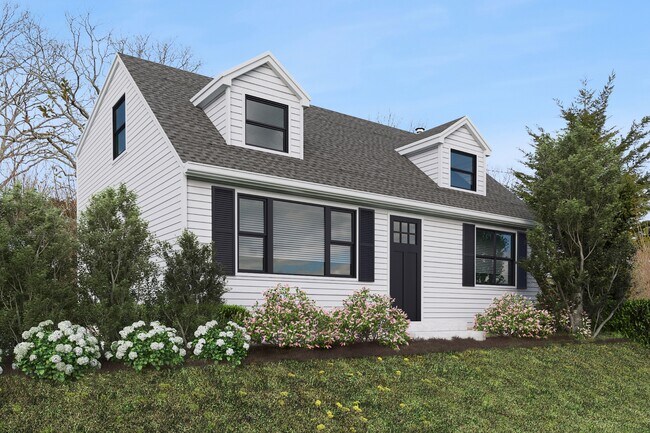
87 North Rd, Hampton Bays, NY 11946


Current Lease Availabilities
Property Detail
87 North Rd
0900-191-00-02-00-023-000
N-R O W E-HARRIS S-NORTH HWY W-ROGASTO
Bartavern
Suffolk
R20
New York
B and X Area of moderate flood hazard, usually the area between the limits of the 100-year and 500-year floods.
23
2024
0.32 AC
2025
Eastern Suffolk
158017
Long Island (New York)
2,922 SF
Nassau County-Suffolk County, NY
NEARBY LISTINGS FOR SALE OR LEASE
DEMOGRAPHICS near 87 North Rd
1 mile
3 mile
5 mile
2025 Total Population
2,847
18,957
36,692
2030 Population
3,050
19,997
38,934
Pop Growth 2025-2030
+ 7.13%
+ 5.49%
+ 6.11%
Average Age
42
42
43
2025 Total Households
1,101
6,910
13,691
HH Growth 2025-2030
+ 6.99%
+ 5.44%
+ 6.11%
Median Household Inc
$160,988
$140,058
$133,325
Avg Household Size
2.50
2.60
2.60
2025 Avg HH Vehicles
2.00
2.00
2.00
Median Home Value
$801,111
$786,823
$847,982
Median Year Built
1977
1975
1976
Nearby Places
Map Layers
Map Styles
 Street
 Aerial
Layers
 Traffic
 Biking
Places
Listings with unknown addresses are not visible on the map
- Restaurants
- Banks
- Shops
- Fitness
- Groceries
PUBLIC TRANSPORTATION
COMMUTER RAIL
Hampton Bays Station (Montauk Branch - Long Island Rail Road)
Drive
Walk
Distance
Hampton Bays Station (Montauk Branch - Long Island Rail Road)
5 min
2.8 mi
Southampton Station (Montauk Branch - Long Island Rail Road)
Drive
Walk
Distance
Southampton Station (Montauk Branch - Long Island Rail Road)
14 min
7.5 mi
Freight Ports
Port of New Haven
Drive
Walk
Distance
Port of New Haven
163 min
71.7 mi
Nearby Properties
Address
Land Use
TOTAL SIZE
Lot Size
Zoning
Address
Land Use
TOTAL SIZE
Lot Size
Zoning
16,677 SF
25.40 AC
R20
Address
Land Use
TOTAL SIZE
Lot Size
Zoning
47,996 SF
19.50 AC
R20
Address
Land Use
TOTAL SIZE
Lot Size
Zoning
200,320 SF
7.34 AC
MUPDD
Address
Land Use
TOTAL SIZE
Lot Size
Zoning
41 AC
IND-R
Address
Land Use
TOTAL SIZE
Lot Size
Zoning
2.64 AC
B3
Address
Land Use
TOTAL SIZE
Lot Size
Zoning
660,340 SF
8.50 AC
MF44
Address
Land Use
TOTAL SIZE
Lot Size
Zoning
23,316 SF
202.05 AC
R120
Address
Land Use
TOTAL SIZE
Lot Size
Zoning
23,691 SF
5.65 AC
MPDD
Address
Land Use
TOTAL SIZE
Lot Size
Zoning
70,960 SF
8.29 AC
SCB
Address
Land Use
TOTAL SIZE
Lot Size
Zoning
123,212 SF
185.30 AC
R120
Address
Land Use
TOTAL SIZE
Lot Size
Zoning
2,568 SF
17.10 AC
HB
Address
Land Use
TOTAL SIZE
Lot Size
Zoning
4,670 SF
238.30 AC
SMUPD
Address
Land Use
TOTAL SIZE
Lot Size
Zoning
10,152 SF
0.80 AC
R15
Address
Land Use
TOTAL SIZE
Lot Size
Zoning
55.20 AC
R80
Address
Land Use
TOTAL SIZE
Lot Size
Zoning
61,751 SF
37 AC
U25
Address
Land Use
TOTAL SIZE
Lot Size
Zoning
217 AC
H2O
Address
Land Use
TOTAL SIZE
Lot Size
Zoning
216.10 AC
H2O
Address
Land Use
TOTAL SIZE
Lot Size
Zoning
126,936 SF
41 AC
OSC
Address
Land Use
TOTAL SIZE
Lot Size
Zoning
16,249 SF
7.40 AC
R40
Address
Land Use
TOTAL SIZE
Lot Size
Zoning
27,362 SF
2.12 AC
R60
Address
Land Use
TOTAL SIZE
Lot Size
Zoning
177.40 AC
H2O
Address
Land Use
TOTAL SIZE
Lot Size
Zoning
238,520 SF
10.03 AC
SC44
Address
Land Use
TOTAL SIZE
Lot Size
Zoning
120,152 SF
20.50 AC
OSC
Address
Land Use
TOTAL SIZE
Lot Size
Zoning
14,470 SF
4.20 AC
CR120
Address
Land Use
TOTAL SIZE
Lot Size
Zoning
19,542 SF
3.56 AC
R40
Address
Land Use
TOTAL SIZE
Lot Size
Zoning
7,520 SF
8.88 AC
U25
Address
Land Use
TOTAL SIZE
Lot Size
Zoning
26.70 AC
CR120
Address
Land Use
TOTAL SIZE
Lot Size
Zoning
11,520 SF
4.80 AC
RWB
Address
Land Use
TOTAL SIZE
Lot Size
Zoning
18.90 AC
R20
Address
Land Use
TOTAL SIZE
Lot Size
Zoning
13,129 SF
2 AC
VB
The World's #1 Commercial Real Estate Marketplace
Connect with us
© 2026 CoStar Group
The information above has been obtained from sources believed reliable. While we do not doubt its accuracy we have not verified it and make no guarantee, warranty or representation about it. It is your responsibility to independently confirm its accuracy and completeness. Any projections, opinions, assumptions, or estimates used are for example only and do not represent the current or future performance of the property. The value of this transaction to you depends on tax and other factors which should be evaluated by your tax, financial, and legal advisors. You and your advisors should conduct a careful, independent investigation of the property to determine to your satisfaction the suitability of the property for your needs.