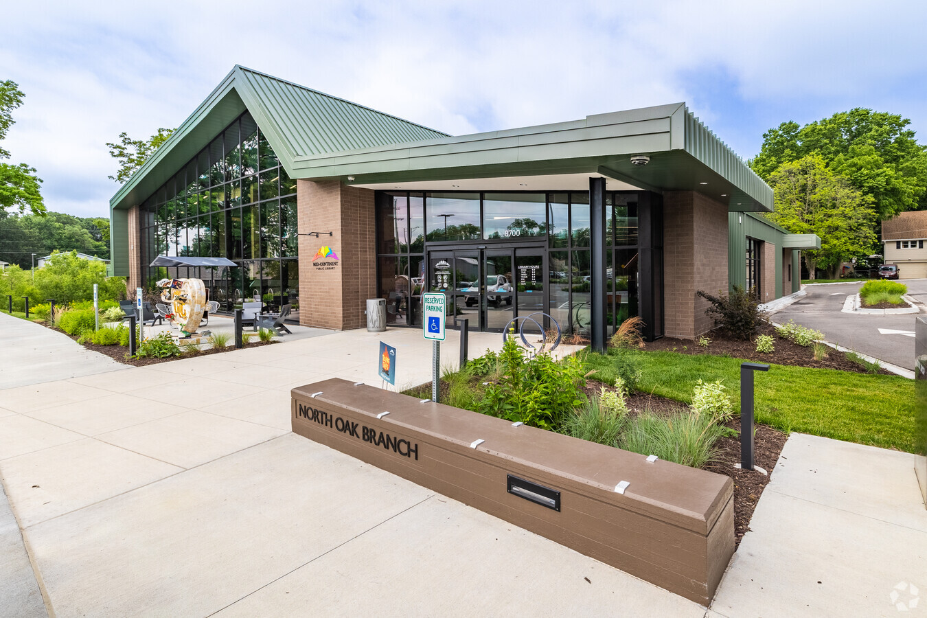
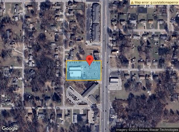
Property Record
8700 N Oak Trfy, Kansas City, MO 64155

NEARBY LISTINGS FOR SALE OR LEASE
Property Detail
8700 N Oak Trfy
Kansas City, MO-KS
Gashland Heights Resurvey
13-313-00-01-007.00
GASHLAND HEIGHTS RESURVEY LT 4 EXC ROW
Taxexempt
Clay
X
Missouri
29095C0064G
4
0
1.65 AC
2024
I-35 Corridor
021213
Kansas City
DEMOGRAPHICS near 8700 N Oak Trfy
1 Mile
3 Mile
5 Mile
2024 Total Population
8,092
66,197
151,419
2029 Population
8,526
69,911
161,225
Pop Growth 2024-2029
+ 5.36%
+ 5.61%
+ 6.48%
Average Age
39
39
39
2024 Total Households
3,367
27,296
62,401
HH Growth 2024-2029
+ 5.35%
+ 5.69%
+ 6.57%
Median Household Inc
$67,472
$75,961
$76,113
Avg Household Size
2.40
2.40
2.40
2024 Avg HH Vehicles
2.00
2.00
2.00
Median Home Value
$190,922
$241,888
$246,589
Median Year Built
1984
1991
1989
Nearby Places
- Restaurants
- Banks
- Shops
- Fitness
- Groceries
PUBLIC TRANSPORTATION
AIRPORT
Kansas City International
DRIVE
WALK
Distance
Kansas City International
17 min
11.7 mi
Freight Ports
Tulsa Port Of Catoosa
DRIVE
WALK
Distance
Tulsa Port Of Catoosa
282 min
250.6 mi
Nearby Properties
Address
Land Use
TOTAL SIZE
Lot Size
Zoning
Address
Land Use
TOTAL SIZE
Lot Size
Zoning
820 SF
5.19 AC
Address
Land Use
TOTAL SIZE
Lot Size
Zoning
1.90 AC
Address
Land Use
TOTAL SIZE
Lot Size
Zoning
11.07 AC
Address
Land Use
TOTAL SIZE
Lot Size
Zoning
Address
Land Use
TOTAL SIZE
Lot Size
Zoning
56.76 AC
Address
Land Use
TOTAL SIZE
Lot Size
Zoning
68.42 AC
Address
Land Use
TOTAL SIZE
Lot Size
Zoning
50.67 AC
Address
Land Use
TOTAL SIZE
Lot Size
Zoning
5.49 AC
Address
Land Use
TOTAL SIZE
Lot Size
Zoning
417,393 SF
22.13 AC
Address
Land Use
TOTAL SIZE
Lot Size
Zoning
Address
Land Use
TOTAL SIZE
Lot Size
Zoning
20.34 AC
Address
Land Use
TOTAL SIZE
Lot Size
Zoning
42.55 AC
Address
Land Use
TOTAL SIZE
Lot Size
Zoning
16.71 AC
Address
Land Use
TOTAL SIZE
Lot Size
Zoning
20.08 AC
Address
Land Use
TOTAL SIZE
Lot Size
Zoning
14.01 AC
Address
Land Use
TOTAL SIZE
Lot Size
Zoning
20,072 SF
4.32 AC
Address
Land Use
TOTAL SIZE
Lot Size
Zoning
1,763 SF
10.06 AC
Address
Land Use
TOTAL SIZE
Lot Size
Zoning
4.84 AC
Address
Land Use
TOTAL SIZE
Lot Size
Zoning
Address
Land Use
TOTAL SIZE
Lot Size
Zoning
491,028 SF
16.35 AC
Address
Land Use
TOTAL SIZE
Lot Size
Zoning
5.69 AC
Address
Land Use
TOTAL SIZE
Lot Size
Zoning
235,392 SF
21.32 AC
Address
Land Use
TOTAL SIZE
Lot Size
Zoning
13.24 AC
Address
Land Use
TOTAL SIZE
Lot Size
Zoning
4.15 AC
Address
Land Use
TOTAL SIZE
Lot Size
Zoning
Address
Land Use
TOTAL SIZE
Lot Size
Zoning
Address
Land Use
TOTAL SIZE
Lot Size
Zoning
13.01 AC
Address
Land Use
TOTAL SIZE
Lot Size
Zoning
Address
Land Use
TOTAL SIZE
Lot Size
Zoning
Address
Land Use
TOTAL SIZE
Lot Size
Zoning
0.86 AC
The World's #1 Commercial Real Estate Marketplace
Connect with us
© 2025 CoStar Group
The information above has been obtained from sources believed reliable. While we do not doubt its accuracy we have not verified it and make no guarantee, warranty or representation about it. It is your responsibility to independently confirm its accuracy and completeness. Any projections, opinions, assumptions, or estimates used are for example only and do not represent the current or future performance of the property. The value of this transaction to you depends on tax and other factors which should be evaluated by your tax, financial, and legal advisors. You and your advisors should conduct a careful, independent investigation of the property to determine to your satisfaction the suitability of the property for your needs.