Property Record
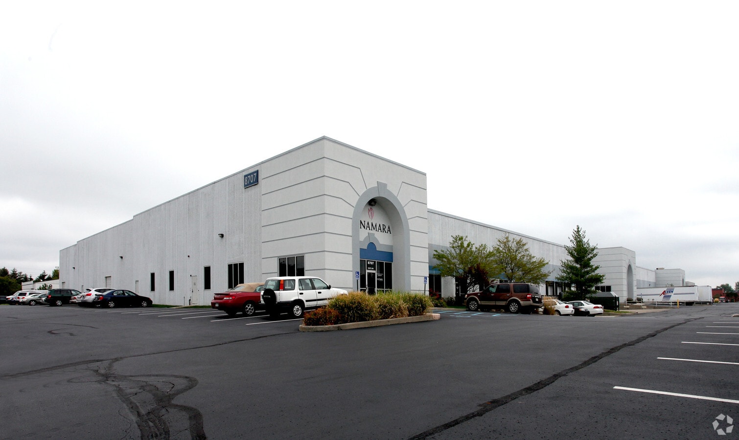
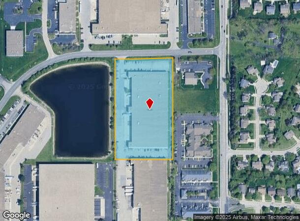
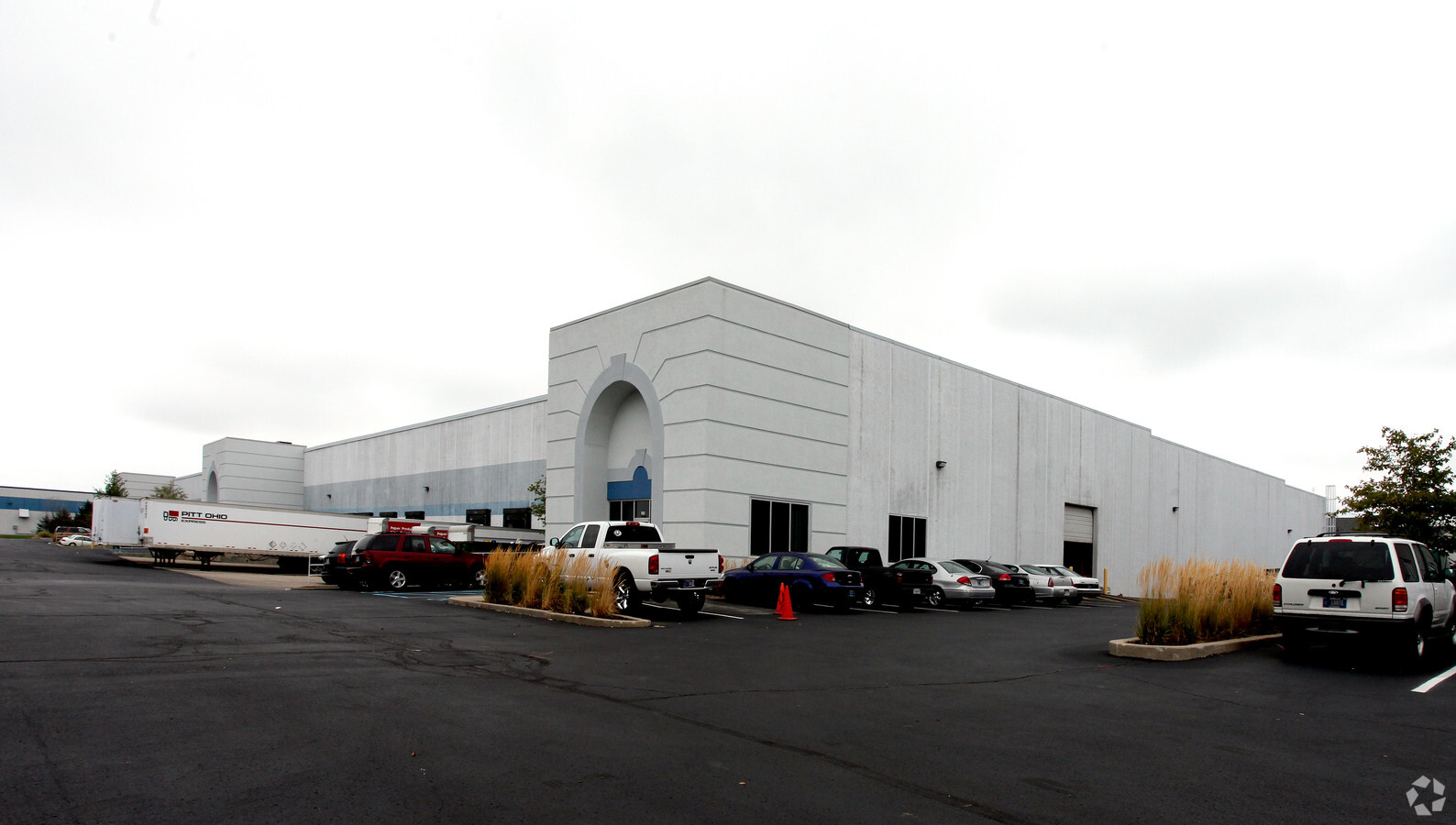
8707 Roberts Dr, Fishers, IN 46037
NEARBY LISTINGS FOR SALE OR LEASE
Property Detail
8707 Roberts Dr
29-14-12-005-009.002-006
North By Northeast Business Park
Warehouse
ACREAGE 4.99, SECTION 12, TOWNSHIP 17, RANGE 4, NORTH BY NORTHEAST BUSINESS PARK, BLOCK PT F
X
Hamilton
18097C0067F
Indiana
2023
4.99 AC
2024
Fishers/Noblesville
110822
Indianapolis
102,952 SF
Indianapolis-Carmel-Anderson, IN
DEMOGRAPHICS near 8707 Roberts Dr
1 Mile
3 Mile
5 Mile
2024 Total Population
5,011
60,237
166,246
2029 Population
5,377
64,497
176,808
Pop Growth 2024-2029
+ 7.30%
+ 7.07%
+ 6.35%
Average Age
40
40
39
2024 Total Households
2,102
25,816
66,365
HH Growth 2024-2029
+ 7.37%
+ 6.67%
+ 5.79%
Median Household Inc
$94,886
$87,830
$97,342
Avg Household Size
2.30
2.30
2.40
2024 Avg HH Vehicles
2.00
2.00
2.00
Median Home Value
$268,294
$269,016
$294,829
Median Year Built
1993
1990
1993
Nearby Places
- Restaurants
- Banks
- Shops
- Fitness
- Groceries
PUBLIC TRANSPORTATION
AIRPORT
Indianapolis International
DRIVE
WALK
Distance
Indianapolis International
49 min
29.0 mi
Freight Ports
Port of Toledo
DRIVE
WALK
Distance
Port of Toledo
250 min
212.2 mi
SALE & LEASE HISTORY
LISTING DATE
SALE/LEASE

Sep 25, 2016
For Lease
Nearby Properties
Address
Land Use
TOTAL SIZE
Lot Size
Zoning
Address
Land Use
TOTAL SIZE
Lot Size
Zoning
366,825 SF
26.60 AC
ZO01
Address
Land Use
TOTAL SIZE
Lot Size
Zoning
22,081 SF
27.39 AC
ZO01
Address
Land Use
TOTAL SIZE
Lot Size
Zoning
10,911 SF
11.56 AC
ZO01
Address
Land Use
TOTAL SIZE
Lot Size
Zoning
683,795 SF
25.53 AC
Address
Land Use
TOTAL SIZE
Lot Size
Zoning
555,234 SF
36.07 AC
Address
Land Use
TOTAL SIZE
Lot Size
Zoning
328,241 SF
91.83 AC
Address
Land Use
TOTAL SIZE
Lot Size
Zoning
528,117 SF
57.02 AC
Address
Land Use
TOTAL SIZE
Lot Size
Zoning
372,138 SF
20.71 AC
Address
Land Use
TOTAL SIZE
Lot Size
Zoning
363,408 SF
30.78 AC
Address
Land Use
TOTAL SIZE
Lot Size
Zoning
125.31 AC
Address
Land Use
TOTAL SIZE
Lot Size
Zoning
434,376 SF
35.75 AC
Address
Land Use
TOTAL SIZE
Lot Size
Zoning
286,120 SF
8.03 AC
Address
Land Use
TOTAL SIZE
Lot Size
Zoning
176,103 SF
0.90 AC
Address
Land Use
TOTAL SIZE
Lot Size
Zoning
289,664 SF
35.22 AC
Address
Land Use
TOTAL SIZE
Lot Size
Zoning
391,181 SF
23.82 AC
Address
Land Use
TOTAL SIZE
Lot Size
Zoning
217,633 SF
78.75 AC
Address
Land Use
TOTAL SIZE
Lot Size
Zoning
224,368 SF
0.73 AC
Address
Land Use
TOTAL SIZE
Lot Size
Zoning
24,192 SF
5.92 AC
Address
Land Use
TOTAL SIZE
Lot Size
Zoning
140,987 SF
13.99 AC
Address
Land Use
TOTAL SIZE
Lot Size
Zoning
288,939 SF
34.29 AC
Address
Land Use
TOTAL SIZE
Lot Size
Zoning
308,854 SF
13.64 AC
Address
Land Use
TOTAL SIZE
Lot Size
Zoning
151,823 SF
57.54 AC
ZO01
Address
Land Use
TOTAL SIZE
Lot Size
Zoning
167,734 SF
3.69 AC
Address
Land Use
TOTAL SIZE
Lot Size
Zoning
23,452 SF
14.94 AC
ZO01
Address
Land Use
TOTAL SIZE
Lot Size
Zoning
293,429 SF
25.88 AC
ZO01
Address
Land Use
TOTAL SIZE
Lot Size
Zoning
224,860 SF
18.52 AC
Address
Land Use
TOTAL SIZE
Lot Size
Zoning
188,840 SF
10.49 AC
Address
Land Use
TOTAL SIZE
Lot Size
Zoning
190,460 SF
13.32 AC
Address
Land Use
TOTAL SIZE
Lot Size
Zoning
54,344 SF
9.57 AC
Address
Land Use
TOTAL SIZE
Lot Size
Zoning
241,325 SF
26 AC
The World's #1 Commercial Real Estate Marketplace
Connect with us
© 2025 CoStar Group
The information above has been obtained from sources believed reliable. While we do not doubt its accuracy we have not verified it and make no guarantee, warranty or representation about it. It is your responsibility to independently confirm its accuracy and completeness. Any projections, opinions, assumptions, or estimates used are for example only and do not represent the current or future performance of the property. The value of this transaction to you depends on tax and other factors which should be evaluated by your tax, financial, and legal advisors. You and your advisors should conduct a careful, independent investigation of the property to determine to your satisfaction the suitability of the property for your needs.