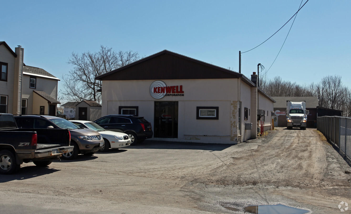
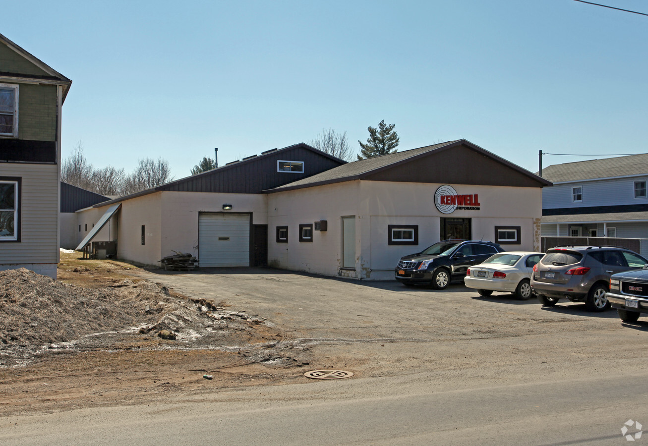
Property Record
871 Hannibal St, Fulton, NY 13069
NEARBY LISTINGS FOR SALE OR LEASE
Property Detail
871 Hannibal St
Syracuse, NY
East Edge Water Drive
352800-235-000-0005-007-000-0000
Oswego
Manufacturinglight
New York
X
2.88 AC
36075C0454G
Oswego County
13,228 SF
Syracuse
DEMOGRAPHICS near 871 Hannibal St
1 Mile
3 Mile
5 Mile
2024 Total Population
2,168
15,147
20,864
2029 Population
2,131
15,058
20,737
Pop Growth 2024-2029
(1.71%)
(0.59%)
(0.61%)
Average Age
41
40
41
2024 Total Households
921
6,256
8,470
HH Growth 2024-2029
(1.74%)
(0.59%)
(0.63%)
Median Household Inc
$61,364
$49,811
$52,903
Avg Household Size
2.30
2.30
2.40
2024 Avg HH Vehicles
2.00
2.00
2.00
Median Home Value
$74,999
$80,945
$90,822
Median Year Built
1956
1955
1961
Nearby Places
- Restaurants
- Banks
- Shops
- Fitness
- Groceries
PUBLIC TRANSPORTATION
AIRPORT
Syracuse Hancock International
DRIVE
WALK
Distance
Syracuse Hancock International
35 min
26.3 mi
Freight Ports
Albany, NY Port
DRIVE
WALK
Distance
Albany, NY Port
198 min
166.4 mi
Nearby Properties
Address
Land Use
TOTAL SIZE
Lot Size
Zoning
Address
Land Use
TOTAL SIZE
Lot Size
Zoning
193,000 SF
96.55 AC
I-1
Address
Land Use
TOTAL SIZE
Lot Size
Zoning
188,491 SF
33.66 AC
Address
Land Use
TOTAL SIZE
Lot Size
Zoning
19.34 AC
AG
Address
Land Use
TOTAL SIZE
Lot Size
Zoning
127,601 SF
22.08 AC
C2
Address
Land Use
TOTAL SIZE
Lot Size
Zoning
2,500 SF
245.58 AC
AG
Address
Land Use
TOTAL SIZE
Lot Size
Zoning
178,780 SF
42.86 AC
R1
Address
Land Use
TOTAL SIZE
Lot Size
Zoning
8,096 SF
13.15 AC
R1
Address
Land Use
TOTAL SIZE
Lot Size
Zoning
10.57 AC
R-1
Address
Land Use
TOTAL SIZE
Lot Size
Zoning
85,869 SF
59.55 AC
Address
Land Use
TOTAL SIZE
Lot Size
Zoning
33,416 SF
2.21 AC
R2
Address
Land Use
TOTAL SIZE
Lot Size
Zoning
308,133 SF
7.60 AC
M1
Address
Land Use
TOTAL SIZE
Lot Size
Zoning
6,656 SF
9.94 AC
R3
Address
Land Use
TOTAL SIZE
Lot Size
Zoning
98,307 SF
26.58 AC
R1
Address
Land Use
TOTAL SIZE
Lot Size
Zoning
50,818 SF
5 AC
C2
Address
Land Use
TOTAL SIZE
Lot Size
Zoning
78,713 SF
8.30 AC
R1
Address
Land Use
TOTAL SIZE
Lot Size
Zoning
99,592 SF
0.38 AC
C2A
Address
Land Use
TOTAL SIZE
Lot Size
Zoning
15,960 SF
6.85 AC
R1A
Address
Land Use
TOTAL SIZE
Lot Size
Zoning
99,720 SF
2.64 AC
R3
Address
Land Use
TOTAL SIZE
Lot Size
Zoning
128,445 SF
5.62 AC
M1
Address
Land Use
TOTAL SIZE
Lot Size
Zoning
52,776 SF
3.30 AC
R2
Address
Land Use
TOTAL SIZE
Lot Size
Zoning
2,460 SF
43.70 AC
Address
Land Use
TOTAL SIZE
Lot Size
Zoning
3,432 SF
7.70 AC
R3
Address
Land Use
TOTAL SIZE
Lot Size
Zoning
4.82 AC
I-1
Address
Land Use
TOTAL SIZE
Lot Size
Zoning
51,658 SF
1.43 AC
C2
Address
Land Use
TOTAL SIZE
Lot Size
Zoning
106,531 SF
13.88 AC
M1
Address
Land Use
TOTAL SIZE
Lot Size
Zoning
67,509 SF
8.34 AC
R1
Address
Land Use
TOTAL SIZE
Lot Size
Zoning
128,064 SF
4.50 AC
M1
Address
Land Use
TOTAL SIZE
Lot Size
Zoning
80,240 SF
2.06 AC
C2
Address
Land Use
TOTAL SIZE
Lot Size
Zoning
11,132 SF
19.74 AC
R4
Address
Land Use
TOTAL SIZE
Lot Size
Zoning
60,480 SF
2.91 AC
C2
The World's #1 Commercial Real Estate Marketplace
Connect with us
© 2025 CoStar Group
The information above has been obtained from sources believed reliable. While we do not doubt its accuracy we have not verified it and make no guarantee, warranty or representation about it. It is your responsibility to independently confirm its accuracy and completeness. Any projections, opinions, assumptions, or estimates used are for example only and do not represent the current or future performance of the property. The value of this transaction to you depends on tax and other factors which should be evaluated by your tax, financial, and legal advisors. You and your advisors should conduct a careful, independent investigation of the property to determine to your satisfaction the suitability of the property for your needs.