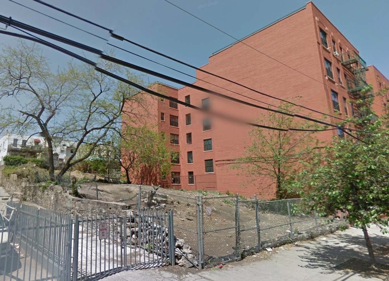
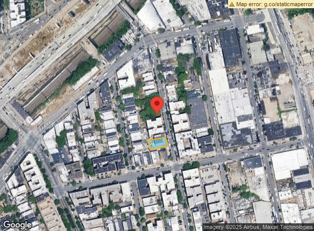
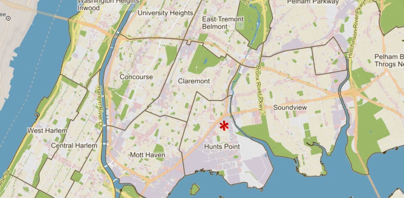
Property Record
883 Bryant Ave, Bronx, NY 10474
NEARBY LISTINGS FOR SALE OR LEASE
Property Detail
883 Bryant Ave
02761-0107
Bronx
Retailwithmorethanonenonretailuse
New York
X
107
3604970084F
0.12 AC
2024
Bronx
2024
Westchester/So Connecticut
011502
New York-Jersey City-White Plains, NY-NJ
22,453 SF
DEMOGRAPHICS near 883 Bryant Ave
1 Mile
3 Mile
5 Mile
2024 Total Population
119,709
941,640
2,433,975
2029 Population
111,439
872,914
2,256,031
Pop Growth 2024-2029
(6.91%)
(7.30%)
(7.31%)
Average Age
36
37
39
2024 Total Households
40,352
332,176
928,867
HH Growth 2024-2029
(7.68%)
(7.98%)
(7.74%)
Median Household Inc
$35,932
$37,734
$53,371
Avg Household Size
2.80
2.70
2.50
2024 Avg HH Vehicles
.00
.00
.00
Median Home Value
$524,650
$532,712
$666,727
Median Year Built
1961
1955
1952
Nearby Places
- Restaurants
- Banks
- Shops
- Fitness
- Groceries
PUBLIC TRANSPORTATION
TRANSIT/SUBWAY
Hunts Point Avenue (6 - New York MTA Subway (The Subway))
DRIVE
WALK
Distance
Hunts Point Avenue (6 - New York MTA Subway (The Subway))
1 min
6 min
0.4 mi
Simpson Street (2 - New York MTA Subway (The Subway), 5 - New York MTA Subway (The Subway))
DRIVE
WALK
Distance
Simpson Street (2 - New York MTA Subway (The Subway), 5 - New York MTA Subway (The Subway))
2 min
12 min
0.7 mi
Whitlock Avenue (6 - New York MTA Subway (The Subway))
DRIVE
WALK
Distance
Whitlock Avenue (6 - New York MTA Subway (The Subway))
2 min
12 min
0.7 mi
Longwood Avenue (6 - New York MTA Subway (The Subway))
DRIVE
WALK
Distance
Longwood Avenue (6 - New York MTA Subway (The Subway))
2 min
13 min
0.7 mi
Intervale Avenue (2 - New York MTA Subway (The Subway), 5 - New York MTA Subway (The Subway))
DRIVE
WALK
Distance
Intervale Avenue (2 - New York MTA Subway (The Subway), 5 - New York MTA Subway (The Subway))
2 min
14 min
0.7 mi
COMMUTER RAIL
Melrose Station (Harlem Line - Metro-North Commuter Railroad Company (Metro-North))
DRIVE
WALK
Distance
Melrose Station (Harlem Line - Metro-North Commuter Railroad Company (Metro-North))
6 min
2.1 mi
Tremont Station (Harlem Line - Metro-North Commuter Railroad Company (Metro-North))
DRIVE
WALK
Distance
Tremont Station (Harlem Line - Metro-North Commuter Railroad Company (Metro-North))
7 min
3.4 mi
AIRPORT
Laguardia
DRIVE
WALK
Distance
Laguardia
15 min
7.5 mi
John F Kennedy International
DRIVE
WALK
Distance
John F Kennedy International
26 min
17.9 mi
Newark Liberty International
DRIVE
WALK
Distance
Newark Liberty International
31 min
25.2 mi
Freight Ports
NY - Red Hook Container Terminal
DRIVE
WALK
Distance
NY - Red Hook Container Terminal
28 min
15.7 mi
SALE & LEASE HISTORY
LISTING DATE
SALE/LEASE

Sep 06, 2019
For Sale
Jul 30, 2019
For Sale
Feb 18, 2020
For Sale
Aug 26, 2019
For Sale
Apr 02, 2017
For Sale
Nearby Properties
Address
Land Use
TOTAL SIZE
Lot Size
Zoning
Address
Land Use
TOTAL SIZE
Lot Size
Zoning
1,290,000 SF
14.56 AC
PARK
Address
Land Use
TOTAL SIZE
Lot Size
Zoning
5,519,372 SF
409.21 AC
C8-2
Address
Land Use
TOTAL SIZE
Lot Size
Zoning
1,743,584 SF
77.87 AC
R6
Address
Land Use
TOTAL SIZE
Lot Size
Zoning
2,278,432 SF
5.98 AC
R7-2
Address
Land Use
TOTAL SIZE
Lot Size
Zoning
1,267,362 SF
1.71 AC
R7-2
Address
Land Use
TOTAL SIZE
Lot Size
Zoning
1,593,305 SF
9.89 AC
C4-4
Address
Land Use
TOTAL SIZE
Lot Size
Zoning
207.09 AC
PARK
Address
Land Use
TOTAL SIZE
Lot Size
Zoning
507,265 SF
4.04 AC
C4-4
Address
Land Use
TOTAL SIZE
Lot Size
Zoning
1,012,000 SF
7.79 AC
R6
Address
Land Use
TOTAL SIZE
Lot Size
Zoning
390,750 SF
265 AC
PARK
Address
Land Use
TOTAL SIZE
Lot Size
Zoning
2,531,670 SF
17.15 AC
R7-2
Address
Land Use
TOTAL SIZE
Lot Size
Zoning
973,381 SF
2.93 AC
M13R8
Address
Land Use
TOTAL SIZE
Lot Size
Zoning
480,769 SF
1.21 AC
R8
Address
Land Use
TOTAL SIZE
Lot Size
Zoning
293,848 SF
2.98 AC
C8-3
Address
Land Use
TOTAL SIZE
Lot Size
Zoning
1,597,950 SF
19.67 AC
M2-1
Address
Land Use
TOTAL SIZE
Lot Size
Zoning
851,821 SF
7.95 AC
R4
Address
Land Use
TOTAL SIZE
Lot Size
Zoning
436,402 SF
9.12 AC
C8-3
Address
Land Use
TOTAL SIZE
Lot Size
Zoning
447,145 SF
8.05 AC
M3-1
Address
Land Use
TOTAL SIZE
Lot Size
Zoning
127,000 SF
16.53 AC
M3-1
Address
Land Use
TOTAL SIZE
Lot Size
Zoning
14,681 SF
97 AC
PARK
Address
Land Use
TOTAL SIZE
Lot Size
Zoning
291,885 SF
8.86 AC
R8
Address
Land Use
TOTAL SIZE
Lot Size
Zoning
566,233 SF
13.25 AC
M3-1
Address
Land Use
TOTAL SIZE
Lot Size
Zoning
526,259 SF
4.79 AC
C4-4
Address
Land Use
TOTAL SIZE
Lot Size
Zoning
986,360 SF
11.85 AC
M3-1
Address
Land Use
TOTAL SIZE
Lot Size
Zoning
238,500 SF
1.13 AC
C4-4
Address
Land Use
TOTAL SIZE
Lot Size
Zoning
340,364 SF
4.10 AC
C4-6
Address
Land Use
TOTAL SIZE
Lot Size
Zoning
601,260 SF
3.27 AC
R4
Address
Land Use
TOTAL SIZE
Lot Size
Zoning
1,172,005 SF
128.83 AC
M1-1
Address
Land Use
TOTAL SIZE
Lot Size
Zoning
464,489 SF
5.66 AC
C4-4
Address
Land Use
TOTAL SIZE
Lot Size
Zoning
448,890 SF
1.54 AC
M13R8
The World's #1 Commercial Real Estate Marketplace
Connect with us
© 2025 CoStar Group
The information above has been obtained from sources believed reliable. While we do not doubt its accuracy we have not verified it and make no guarantee, warranty or representation about it. It is your responsibility to independently confirm its accuracy and completeness. Any projections, opinions, assumptions, or estimates used are for example only and do not represent the current or future performance of the property. The value of this transaction to you depends on tax and other factors which should be evaluated by your tax, financial, and legal advisors. You and your advisors should conduct a careful, independent investigation of the property to determine to your satisfaction the suitability of the property for your needs.